Parking
Use the Big Creek Picnic Area day-use lot at the end of Big Creek Park Road. Cross the footbridge over Big Creek to reach the Baxter Creek Trail; the final approach includes a narrow gravel road.
Great Smoky Mountains National Park, TN · NC
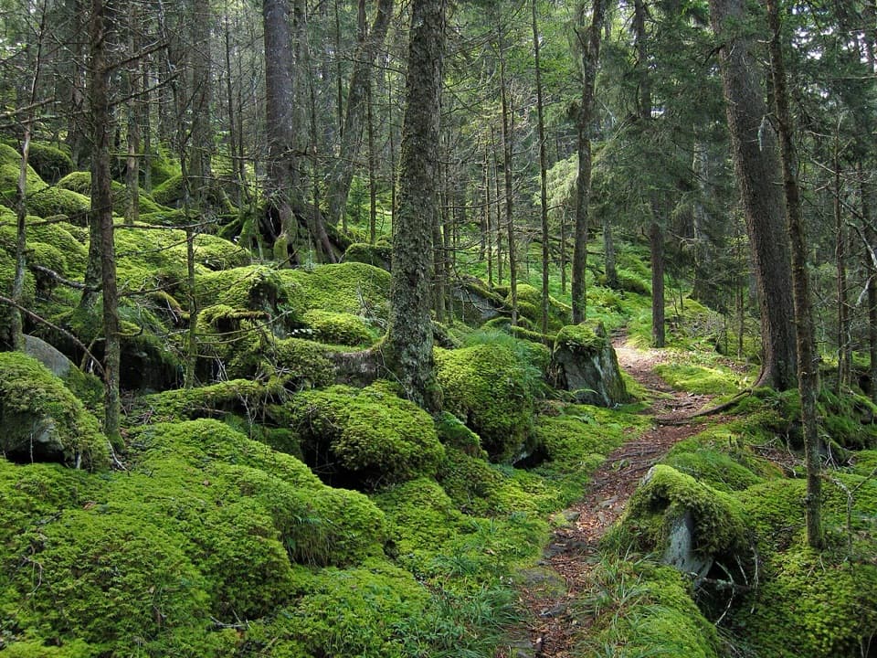
A steep Big Creek climb to a 1935 summit fire tower.
Overview
Map & elevation
Plan your hike

The highest, rockiest slopes around here are a summer buffet for grizzly bears.
Great Smoky Mountains Tour Guide
Parkwolf is a GPS audio tour guide for Great Smoky Mountains National Park. As you drive, it chimes in with what’s ahead: hidden gems, upcoming stops, history, geology, and wildlife, right through your car’s speakers.
See the Great Smoky Mountains audio tourRecorded for this trailhead
Big Creek and Mouse Creek Falls“You're coming up on Big Creek, where a gradual forest hike leads to Mouse Creek Falls. Allow two and a half to three hours for the four-mile round trip along an old logging railroad grade.”
Plays as you drive up to this trailhead in the Parkwolf Great Smoky Mountains Tour Guide.
More stories near here in the app
“Fantastic app with many points of information… It’s great to just turn on while you’re driving and it gives you an audio tour of the national Park. We love it!!!!”


Trail guide
Baxter Creek Trail is a 12.2-mile out-and-back from Big Creek Picnic Area to Mount Sterling’s 5,842-foot summit. The mapped corridor climbs about 6.1 miles, then returns on the same path, with roughly 4,200 feet of elevation gain. Plan on a full day—about nine hours with stops. I’d choose it when the climb itself sounds like the point. This is the steep Big Creek approach to Mount Sterling, not a relaxed creek walk.
Park in the Big Creek Picnic Area day-use lot and cross the steel footbridge over Big Creek to reach the trail. The path follows the creek for about half a mile before turning uphill on Mount Sterling’s north slope. It crosses Baxter Creek at roughly seven-tenths of a mile, then keeps climbing. Around a third of a mile from the start, an unmarked side path near an old rock wall leads about a tenth of a mile to a 30- to 35-foot stone chimney, said to be a remnant of a Crestmont Lumber Company lodge. That’s a side trip, not the summit route; if the fork isn’t obvious, stay on the main trail.
The trail is a developed dirt path, but it gains about 4,200 feet in just over six miles. That’s close to 690 feet per mile uphill, with little let-up. The route is strenuous because of the sustained grade and distance, not because it requires technical scrambling. Save enough for the return: after reaching the summit, you’ll descend the same way to Big Creek.
The lower stretch passes through old-growth cove hardwoods, including a tulip tree reported at more than 177 feet tall and other champion trees such as northern red oak, Carolina silverbell, and cucumbertree. Higher up, the hardwoods give way to balsam, spruce, and fir. Near 3,500 feet, heath shrubs arch over the tread in a short green tunnel. Fraser firs here carry the effects of balsam woolly adelgid, an insect first found in the park in 1962 that has killed most mature firs; surviving stands are reproducing in some areas.
Mount Sterling rises to 5,842 feet. Its 60-foot fire tower was built by the Civilian Conservation Corps in 1935 and is now used as a radio repeater. On a clear day, look west toward Balsam Mountain and Luftee Knob, northwest toward Mount Guyot, east toward Max Patch, and south toward Cataloochee Valley. The old tower’s open hatch and unsteady feel make climbing it an optional extra; the hike reaches its destination at the summit, whether or not you go up the stairs.
Pets are not allowed on this trail; dogs are permitted on only two trails in the park. Big Creek Campground is nearby, but its drinking water and flush toilets are seasonal and aren’t confirmed as day-hiker facilities. There’s no camp store at Big Creek, and the nearest grocery store is in Newport, about a 30-minute drive away. Bring food and water before you reach the trailhead.
Wildlife
 1,569 sightingsBlack BearMost seen around 7 PMSighting map
 900 sightingsElkMost seen around 7 AMSighting map
 13 sightingsBald EagleMost seen around 9 AMSighting map
 142 sightingsTimber RattlesnakeMost seen around 6 PMSighting map
 26 sightingsBobcatMost seen around 8 PMSighting map
 42 sightingsRiver OtterMost seen around 7 AMSighting map
Sighting maps show where each species has been reported across Great Smoky Mountains. Wildlife moves, so no sighting is guaranteed.
Keep exploring
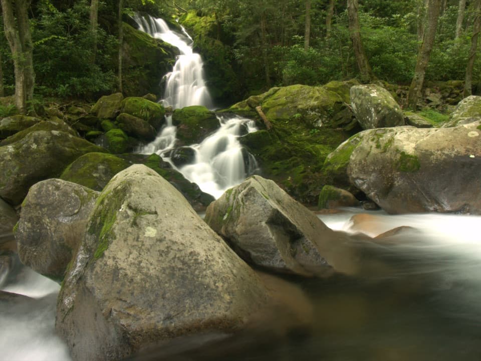 ModerateBig Creek Trail to Mouse Creek Falls4 mi · 2.8 hr · 0.1 mi awayAn old railroad grade reaches an unmarked pool and 41-foot falls.
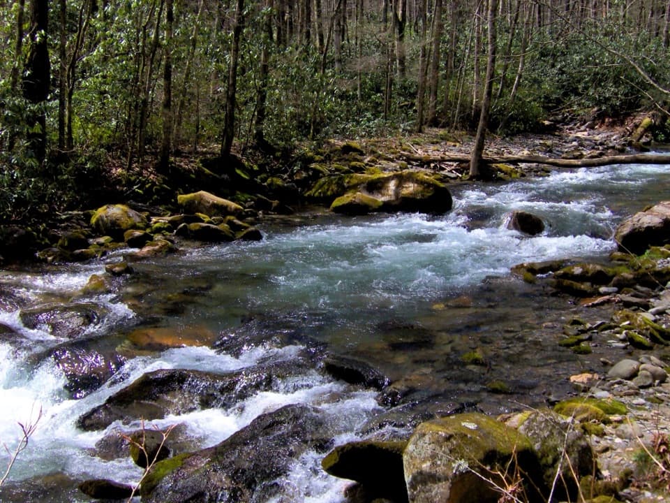 ChallengingCamel Gap Trail10.6 mi · 8.5 hr · 0.1 mi awayA long creekside approach to the Appalachian Trail at Camel Gap.
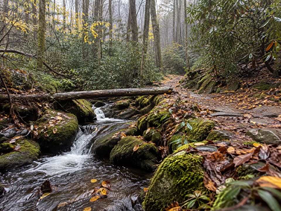 ChallengingChestnut Branch Trail2.1 mi · 2 hr · 0.6 mi awayA steep 2.1-mile climb from Big Creek to the Appalachian Trail.
 ChallengingMount Sterling Trail5.4 mi · 4 hr · 3.6 mi awayA steep climb to a historic tower and wide clear-day Smokies views.
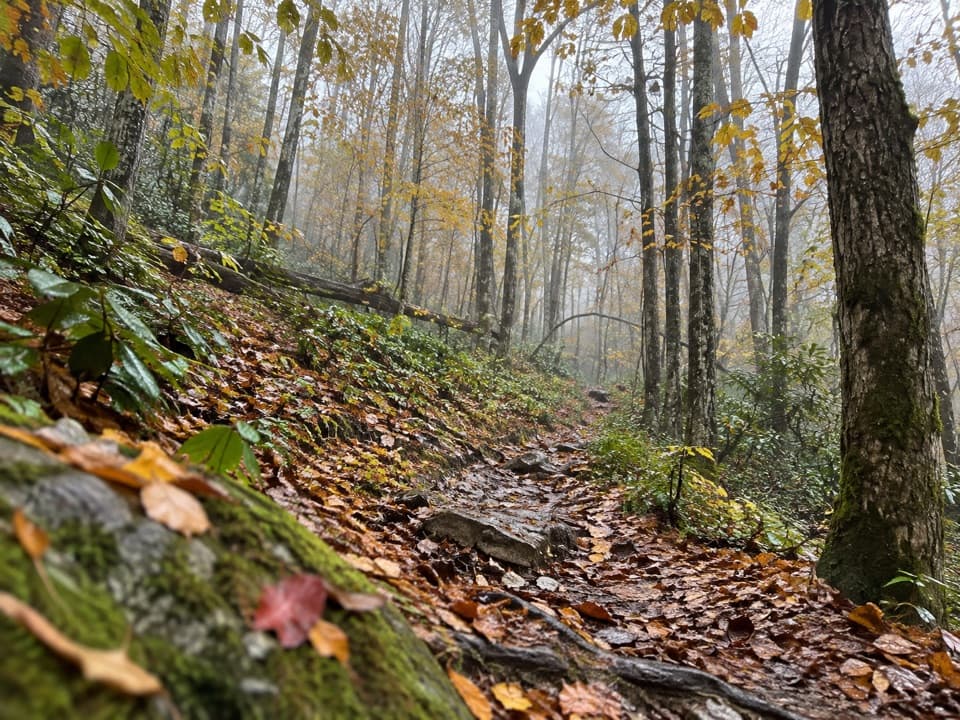 ChallengingSwallow Fork Trail3.9 mi · 4 hr · 3.8 mi awayA forest climb links Big Creek to the high ridge routes.
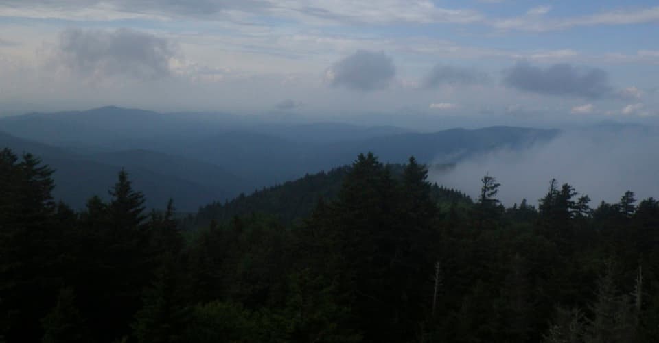 ModerateMount Sterling Ridge Trail5.3 mi · 3.5 hr · 3.8 mi awayA remote 5.3-mile traverse from Mount Sterling to Balsam Mountain Trail.
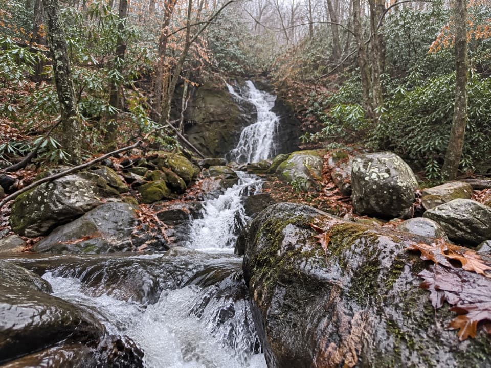 ChallengingGunter Fork Trail4.1 mi · 4.5 hr · 4.7 mi awayTwo cascades reward a long, steep backcountry climb.
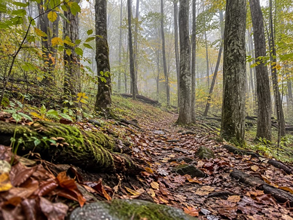 ModerateLong Bunk Trail9.2 mi · 6 hr · 5.4 mi awayA long walk past a cemetery, homestead traces, and creek crossings.
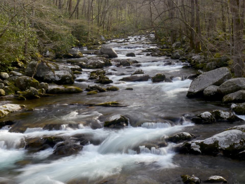 Picnic area · At the trailheadBig Creek Picnic AreaBreak by Big Creek before setting out on a nearby trail.
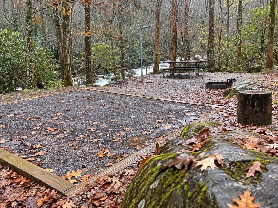 Campground · 0.2 mi awayBig Creek CampgroundTwelve tent sites by the creek, with big hikes close at hand.
 Campground · 0.2 mi awayBig Creek Horse CampA five-site creekside base for horse campers and backcountry rides.
 Sight · 1.4 mi awayMidnight HoleA shaded Big Creek pool reached by a steep, rocky scramble.Sight · 1.8 mi awayMouse Creek FallsA 41-foot waterfall with Midnight Hole along the way.
 Sight · 3 mi awayMount Cammerer Lookout TowerA rock summit and a 1930s fire tower reward a big climb.Sight · 3.5 mi awayMount Sterling Fire TowerA 1935 lookout atop a steep, remote Smokies summit.
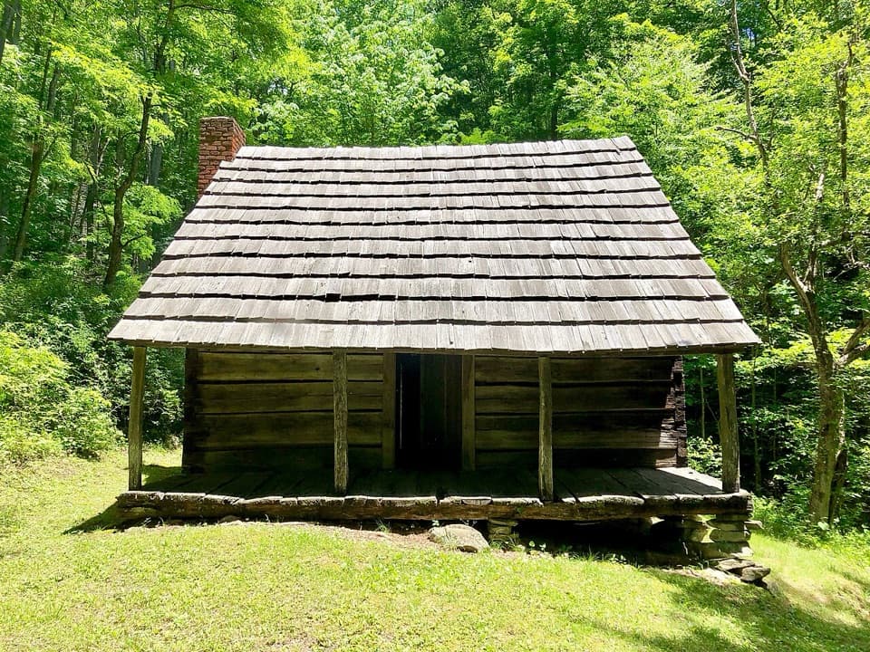 Sight · 5.5 mi awayJim Hannah CabinA hike-in cabin tells Little Cataloochee’s farming story.
Parkwolf’s Great Smoky Mountains ranking

The audio tour guide for the drive, plus offline maps, trails, and wildlife heatmaps for when the signal drops.





