Parking
Use the Big Creek Trailhead by Big Creek Picnic Area, reached via Waterville Road. Walnut Bottom, where Gunter Fork starts, is about 6.1 miles up Big Creek Trail. A parking tag is required for vehicles left longer than 15 minutes.
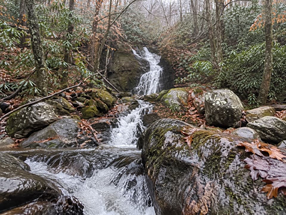
Great Smoky Mountains National Park, TN · NC
Two cascades reward a long, steep backcountry climb.
Overview
Map & elevation
Plan your hike

The highest, rockiest slopes around here are a summer buffet for grizzly bears.
Great Smoky Mountains Tour Guide
Parkwolf is a GPS audio tour guide for Great Smoky Mountains National Park. As you drive, it chimes in with what’s ahead: hidden gems, upcoming stops, history, geology, and wildlife, right through your car’s speakers.
See the Great Smoky Mountains audio tourMore stories near here in the app
“Fantastic app with many points of information… It’s great to just turn on while you’re driving and it gives you an audio tour of the national Park. We love it!!!!”


Trail guide
Gunter Fork Trail is a 4.1-mile, one-way point-to-point route from the Camel Gap Trail junction at Walnut Bottom to the Balsam Mountain Trail junction. It climbs roughly 2,330 feet. Allow about 4½ hours for this segment alone; reaching Walnut Bottom from the Big Creek road-end adds about 6.1 miles one way, and a through-route from the upper junction adds more. This is a serious backcountry connection, not a standalone day walk.
From Walnut Bottom, the trail descends to Big Creek, then crosses Gunter Fork several times. Around mile 1.4, a short side path leads to a pool beneath a roughly 10-foot cascade. A few tenths farther, the larger cascade drops over dark bedrock; trail accounts describe it as about 150 feet high and identify the rock as Thunderhead sandstone.
After the last creek crossing, steep switchbacks climb Balsam Mountain. The hard ascent eventually opens to ridgeline views, with rhododendron along higher stretches. Pink and white blooms have been reported in July, but the waterfall and creek are the more dependable reasons to make this long approach.
Part of the lower trail follows a former Crestmont Railroad Company logging grade. The Civilian Conservation Corps graded the steeper reaches in the 1930s, so the corridor reflects both the logging era and the park’s early trail work.
There’s no road access at Walnut Bottom. Park at the Big Creek Trailhead by the picnic area, reached via Waterville Road, then follow Big Creek Trail about 6.1 miles to the Gunter Fork junction. From there, you still need to continue on Balsam Mountain Trail or arrange a backcountry return route. Seasonal flush toilets and drinking water are available at the nearby campground; none were found along Gunter Fork. Pets are not allowed on park trails. If you make this an overnight route, backcountry campsites require a permit and advance reservation.
Wildlife
 1,566 sightingsBlack BearMost seen around 7 PMSighting map
 899 sightingsElkMost seen around 7 AMSighting map
 13 sightingsBald EagleMost seen around 9 AMSighting map
 142 sightingsTimber RattlesnakeMost seen around 6 PMSighting map
 26 sightingsBobcatMost seen around 8 PMSighting map
 42 sightingsRiver OtterMost seen around 7 AMSighting map
Sighting maps show where each species has been reported across Great Smoky Mountains. Wildlife moves, so no sighting is guaranteed.
Keep exploring
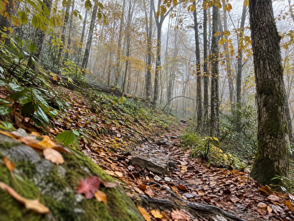 ChallengingSwallow Fork Trail3.9 mi · 4 hr · 1 mi awayA forest climb links Big Creek to the high ridge routes.
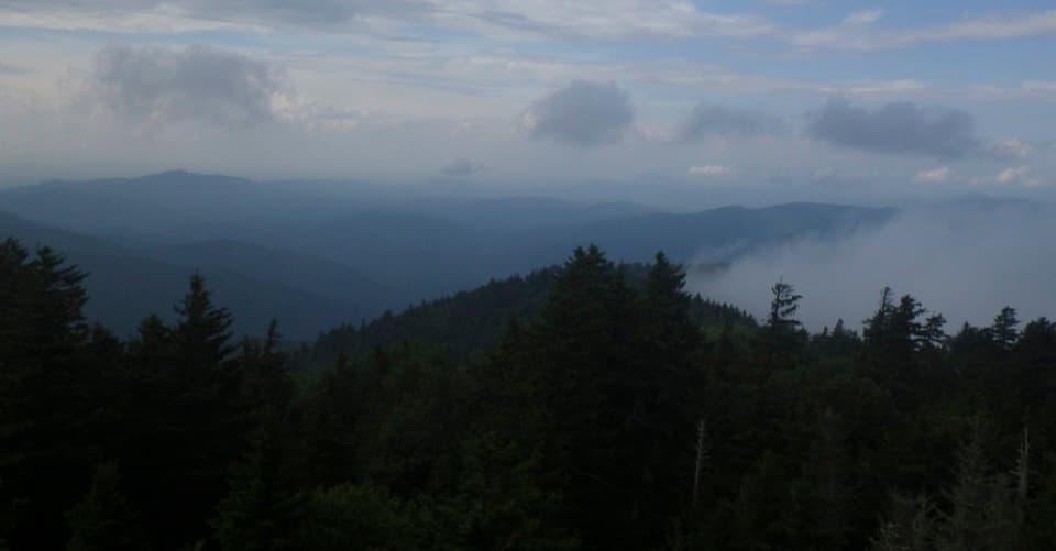 ModerateMount Sterling Ridge Trail5.3 mi · 3.5 hr · 3 mi awayA remote 5.3-mile traverse from Mount Sterling to Balsam Mountain Trail.
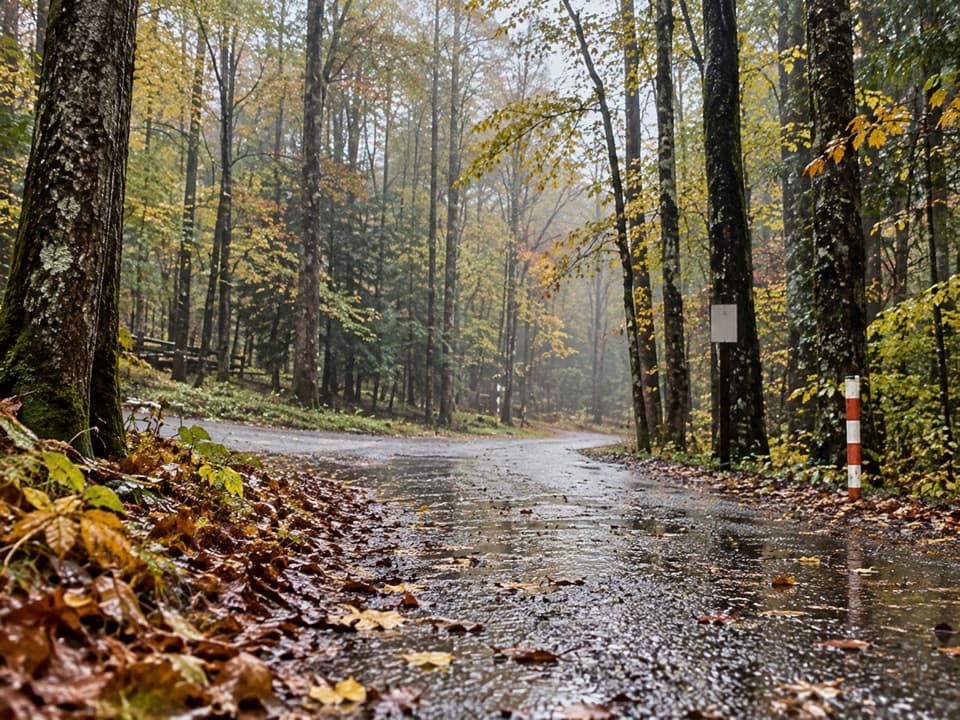 ModerateCosby Horse Trail0.3 mi · 10 min · 3.3 mi awayA short, steep path near Cosby Campground.
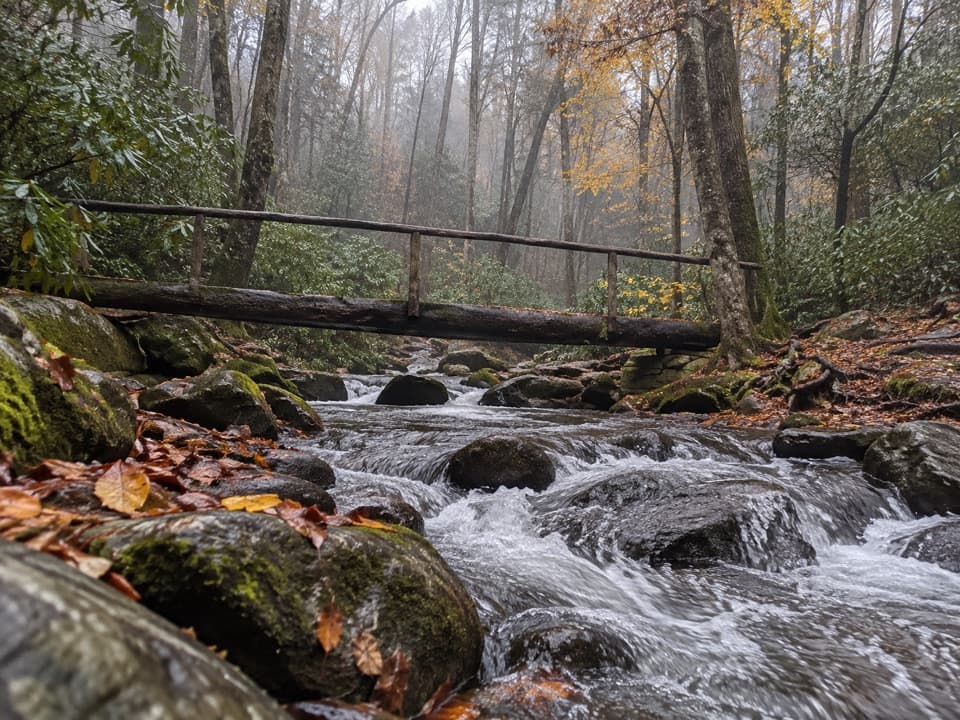 ChallengingLower Mount Cammerer Trail14.8 mi · 8 hr · 3.3 mi awayA long day of creek crossings and ridge climbing to the AT.
 EasyCosby Nature Trail1.3 mi · 45 min · 3.4 mi awayA wooded creek loop with log bridges and rocky crossings.
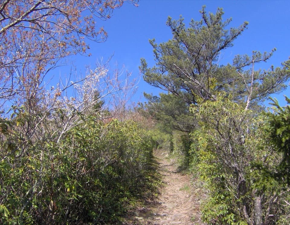 ChallengingSnake Den Ridge Trail10.6 mi · 8 hr · 3.5 mi awayA steep 10.6-mile out-and-back to the Appalachian Trail.
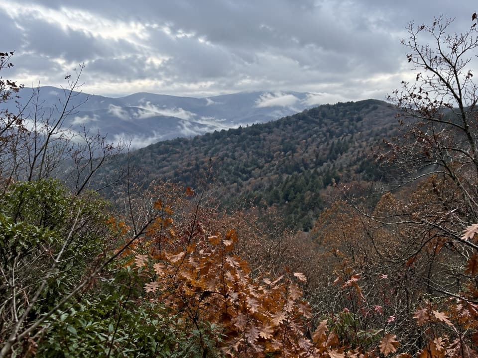 ModerateSutton Ridge Overlook Trail3.5 mi · 2 hr · 3.6 mi awayA short, steep spur reaches a north-facing view over Riding Fork.
 ChallengingLow Gap Trail5.4 mi · 5 hr · 3.6 mi awayCreek crossings and a steep climb to the remote Walnut Bottom junction.
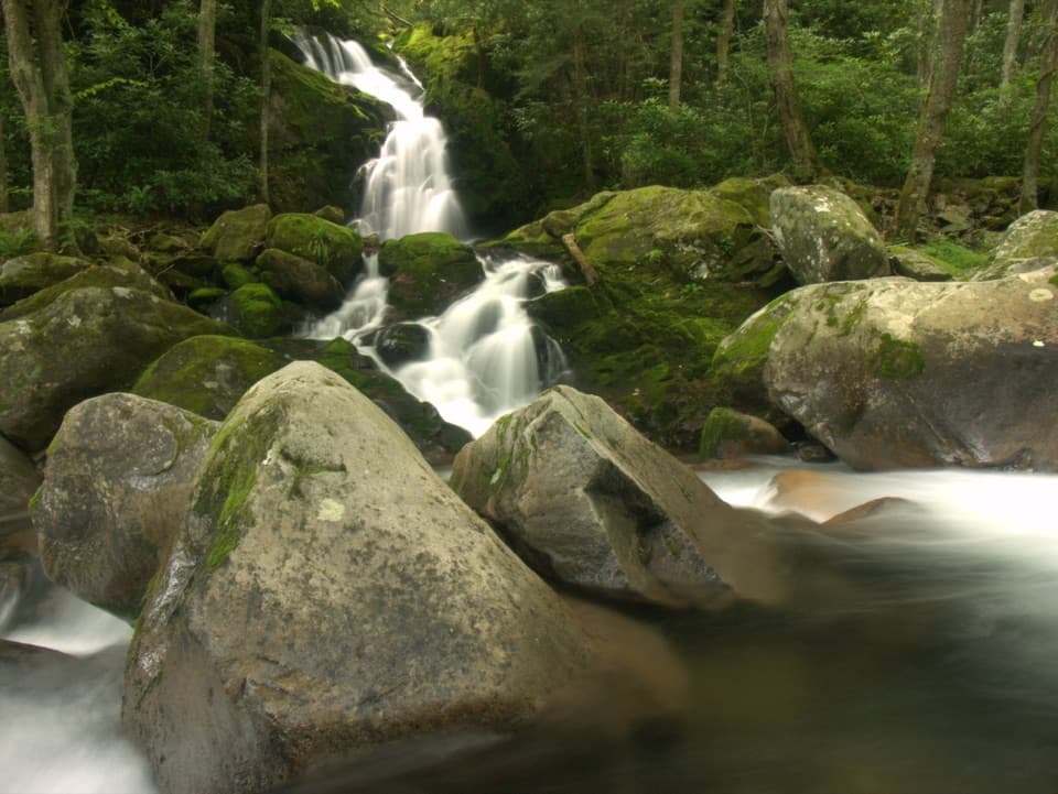 Sight · 2.9 mi awayMouse Creek FallsA 41-foot waterfall with Midnight Hole along the way.
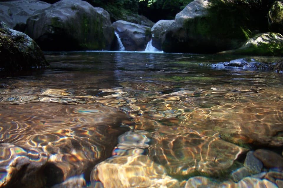 Sight · 3.4 mi awayMidnight HoleA shaded Big Creek pool reached by a steep, rocky scramble.
 Campground · 3.5 mi awayCosby CampgroundA shady, tent-heavy base with hiking routes nearby.
 Picnic area · 3.8 mi awayCosby Picnic AreaA shady 35-site picnic stop beside Cosby Creek
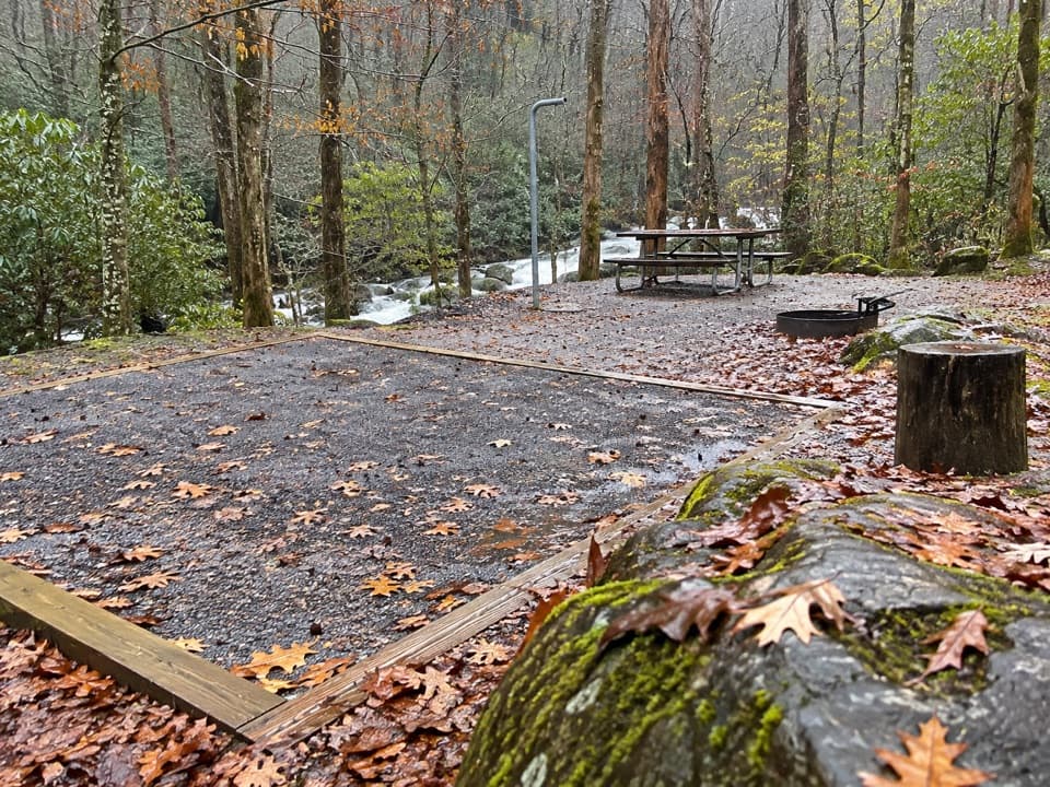 Campground · 4.6 mi awayBig Creek CampgroundTwelve tent sites by the creek, with big hikes close at hand.
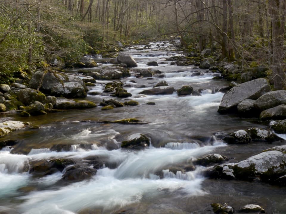 Picnic area · 4.7 mi awayBig Creek Picnic AreaBreak by Big Creek before setting out on a nearby trail.
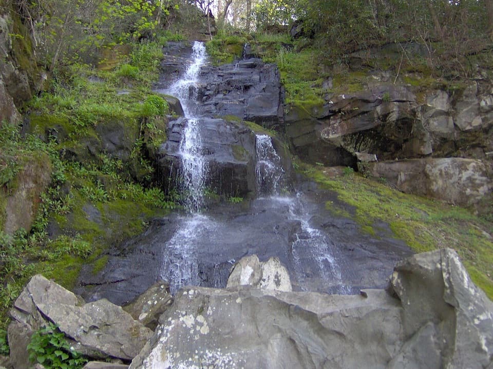 Sight · 4.9 mi awayHen Wallow FallsA 90-foot cascade makes the rooted climb worthwhile.
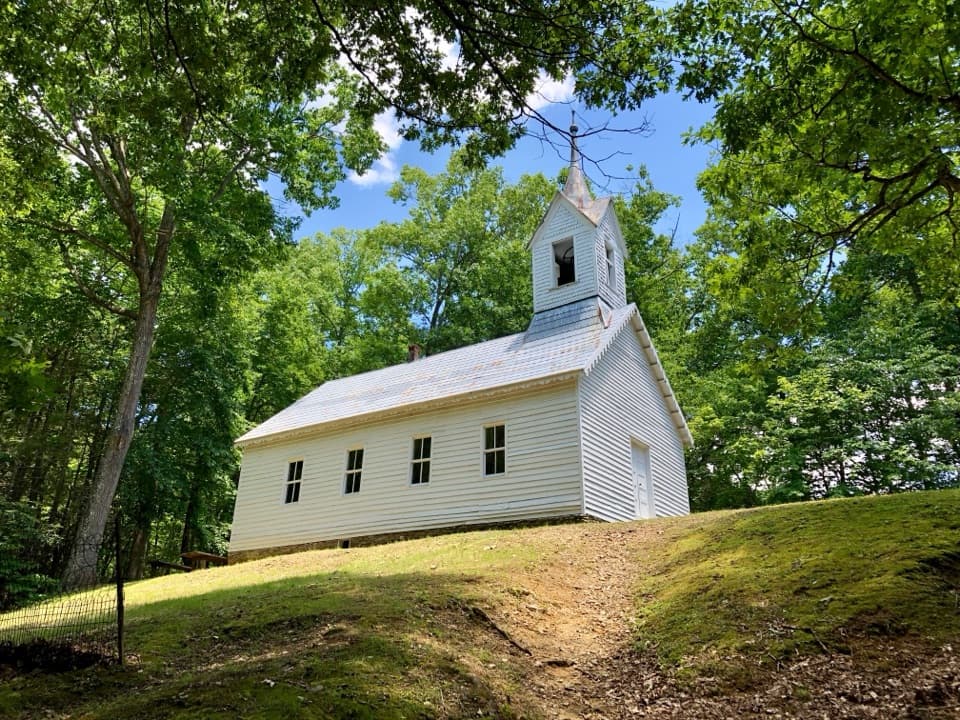 Sight · 5.5 mi awayLittle Cataloochee Baptist ChurchAn 1889 chapel with its original 400-pound bell rewards the hike
Parkwolf’s Great Smoky Mountains ranking

The audio tour guide for the drive, plus offline maps, trails, and wildlife heatmaps for when the signal drops.





