Parking
The usual start is Big Creek Trailhead beside Big Creek Picnic Area. Parking availability is uncertain; you may need to park near the ranger station and walk about three-quarters of a mile, so confirm the current lot before going.
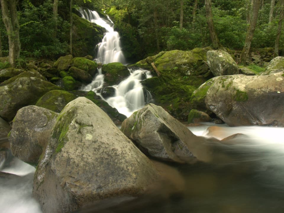
Great Smoky Mountains National Park, TN · NC
An old railroad grade reaches an unmarked pool and 41-foot falls.
Overview
Map & elevation
Plan your hike

The highest, rockiest slopes around here are a summer buffet for grizzly bears.
Great Smoky Mountains Tour Guide
Parkwolf is a GPS audio tour guide for Great Smoky Mountains National Park. As you drive, it chimes in with what’s ahead: hidden gems, upcoming stops, history, geology, and wildlife, right through your car’s speakers.
See the Great Smoky Mountains audio tourRecorded for this trailhead
Big Creek and Mouse Creek Falls“You're coming up on Big Creek, where a gradual forest hike leads to Mouse Creek Falls. Allow two and a half to three hours for the four-mile round trip along an old logging railroad grade.”
Plays as you drive up to this trailhead in the Parkwolf Great Smoky Mountains Tour Guide.
More stories near here in the app
“Fantastic app with many points of information… It’s great to just turn on while you’re driving and it gives you an audio tour of the national Park. We love it!!!!”


Trail guide
Big Creek Trail to Mouse Creek Falls is a 4-mile out-and-back, about two miles each way from Big Creek Trailhead. The route follows a former railroad grade through forest, climbs gradually, reaches Big Creek, and ends at a 41-foot waterfall. Allow 2.5 to 3 hours. It is a good choice for an unhurried creek walk with two distinct water stops; the path is relatively even, but the full distance adds up.
The first stretch rises above the campground and away from the water. Around 1.3 miles in, the trail reaches Big Creek and stays beside or within earshot of it. Rhododendron and wildflowers line the creekside section. The grade is broad and comparatively smooth, with a steady climb rather than a sharp ascent.
At about 1.5 miles, look for Midnight Hole, an unmarked deep pool beneath a small cascade between two large boulders. Smaller cascades appear before it and can look like the destination, so keep going until you find the dark pool. The falls are about another half-mile beyond Midnight Hole.
A hitching post marks the short side path near the falls, just beyond the two-mile point. Mouse Creek Falls drops about 41 feet into Big Creek, with a log bench nearby. The rocks are slick from mist and algae; stay on the viewing area and do not climb. For a photo, keep some of the creek in the frame so the cascade has a sense of scale.
This route follows a railroad grade built by Crestmont Lumber Company in the early 1900s to haul timber. The Civilian Conservation Corps improved it for hiking in the early 1930s. Big Creek was once a logging town; the forest has reclaimed the old work site.
Big Creek Picnic Area is the usual access beside the trailhead. It has ten picnic sites and seasonal restrooms and is open seasonally, from mid-April through late October, sunrise to sunset. Big Creek Campground is a separate nearby facility with tent sites, flush toilets, and drinking water in season. Pets are not allowed on this trail.
Wildlife
 1,569 sightingsBlack BearMost seen around 7 PMSighting map
 900 sightingsElkMost seen around 7 AMSighting map
 13 sightingsBald EagleMost seen around 9 AMSighting map
 142 sightingsTimber RattlesnakeMost seen around 6 PMSighting map
 26 sightingsBobcatMost seen around 8 PMSighting map
 42 sightingsRiver OtterMost seen around 7 AMSighting map
Sighting maps show where each species has been reported across Great Smoky Mountains. Wildlife moves, so no sighting is guaranteed.
Keep exploring
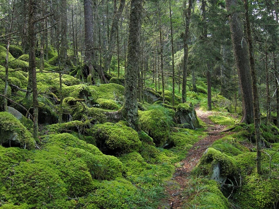 ChallengingBaxter Creek Trail12.2 mi · 9 hr · 0.1 mi awayA steep Big Creek climb to a 1935 summit fire tower.
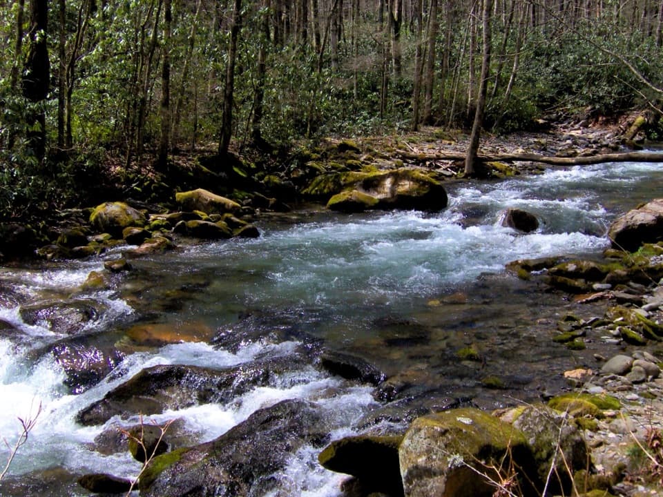 ChallengingCamel Gap Trail10.6 mi · 8.5 hr · 0.1 mi awayA long creekside approach to the Appalachian Trail at Camel Gap.
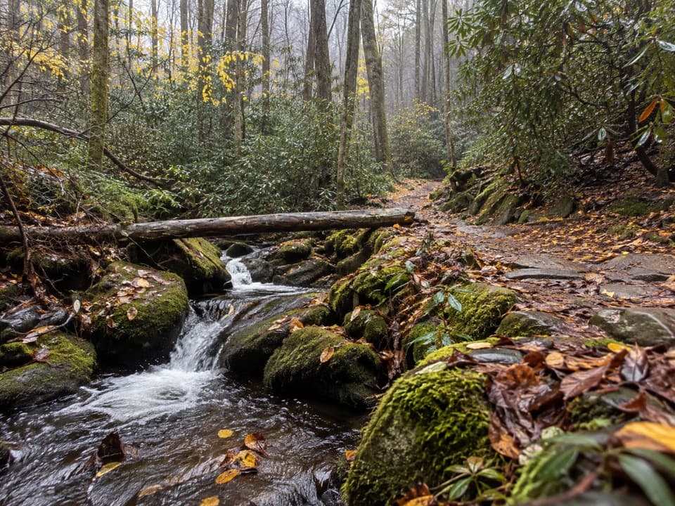 ChallengingChestnut Branch Trail2.1 mi · 2 hr · 0.6 mi awayA steep 2.1-mile climb from Big Creek to the Appalachian Trail.
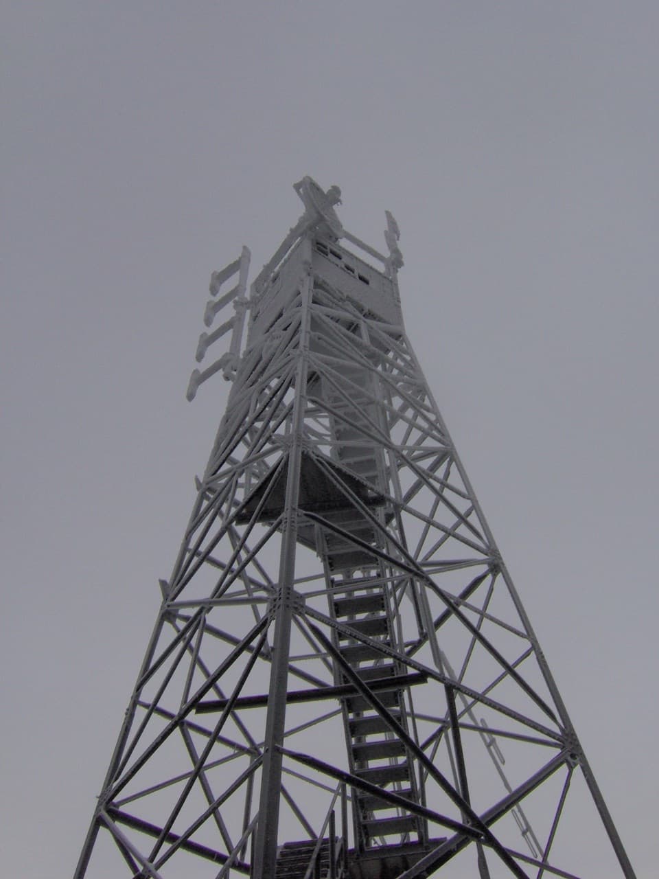 ChallengingMount Sterling Trail5.4 mi · 4 hr · 3.6 mi awayA steep climb to a historic tower and wide clear-day Smokies views.
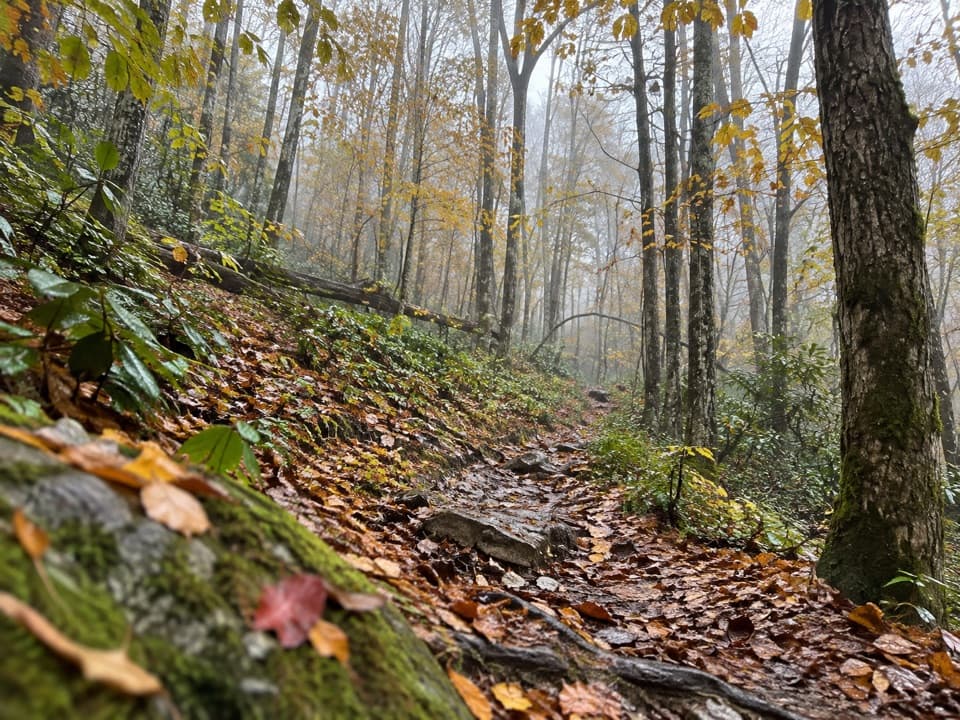 ChallengingSwallow Fork Trail3.9 mi · 4 hr · 3.7 mi awayA forest climb links Big Creek to the high ridge routes.
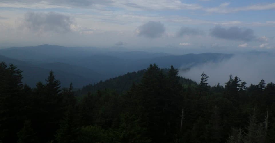 ModerateMount Sterling Ridge Trail5.3 mi · 3.5 hr · 3.8 mi awayA remote 5.3-mile traverse from Mount Sterling to Balsam Mountain Trail.
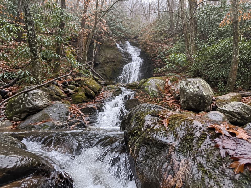 ChallengingGunter Fork Trail4.1 mi · 4.5 hr · 4.7 mi awayTwo cascades reward a long, steep backcountry climb.
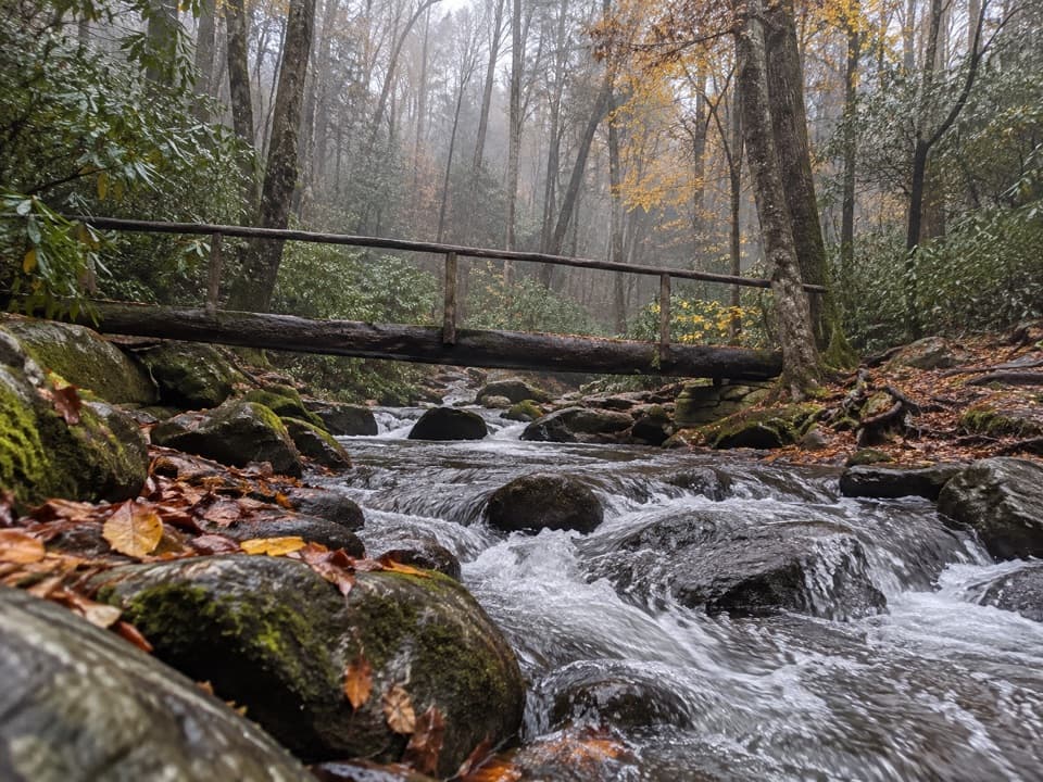 ChallengingLower Mount Cammerer Trail14.8 mi · 8 hr · 5.3 mi awayA long day of creek crossings and ridge climbing to the AT.
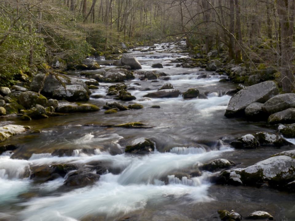 Picnic area · At the trailheadBig Creek Picnic AreaBreak by Big Creek before setting out on a nearby trail.
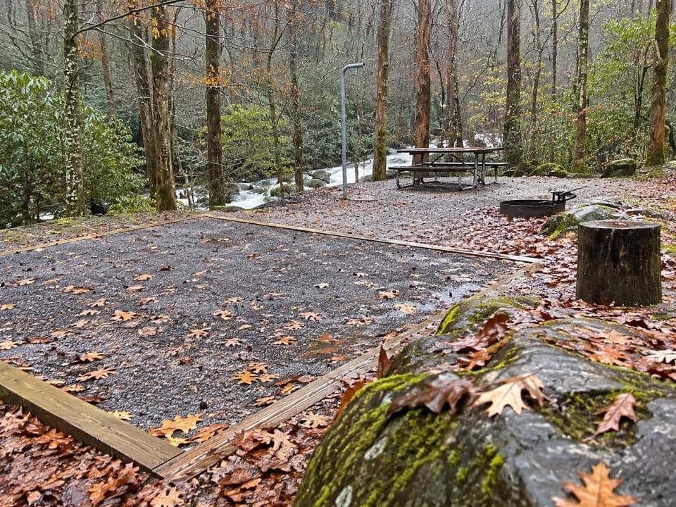 Campground · 0.1 mi awayBig Creek CampgroundTwelve tent sites by the creek, with big hikes close at hand.
 Campground · 0.2 mi awayBig Creek Horse CampA five-site creekside base for horse campers and backcountry rides.
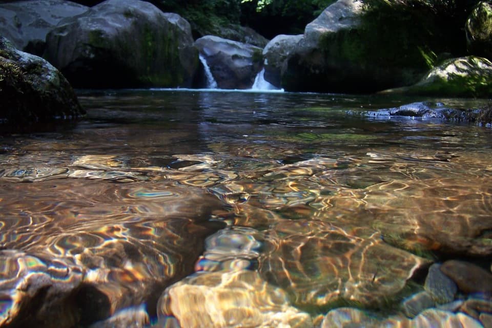 Sight · 1.3 mi awayMidnight HoleA shaded Big Creek pool reached by a steep, rocky scramble.Sight · 1.8 mi awayMouse Creek FallsA 41-foot waterfall with Midnight Hole along the way.
 Sight · 3 mi awayMount Cammerer Lookout TowerA rock summit and a 1930s fire tower reward a big climb.Sight · 3.5 mi awayMount Sterling Fire TowerA 1935 lookout atop a steep, remote Smokies summit.
 Campground · 5.5 mi awayCosby CampgroundA shady, tent-heavy base with hiking routes nearby.
Parkwolf’s Great Smoky Mountains ranking

The audio tour guide for the drive, plus offline maps, trails, and wildlife heatmaps for when the signal drops.





