Parking
Use the Big Creek Trailhead parking by Big Creek Campground. The Swallow Fork junction is about 5.1 miles up Big Creek Trail; the far end joins ridge routes rather than a road.
Great Smoky Mountains National Park, TN · NC
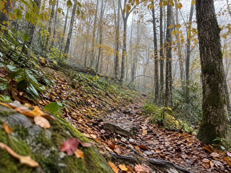
A forest climb links Big Creek to the high ridge routes.
Overview
Map & elevation
Plan your hike

The highest, rockiest slopes around here are a summer buffet for grizzly bears.
Great Smoky Mountains Tour Guide
Parkwolf is a GPS audio tour guide for Great Smoky Mountains National Park. As you drive, it chimes in with what’s ahead: hidden gems, upcoming stops, history, geology, and wildlife, right through your car’s speakers.
See the Great Smoky Mountains audio tourMore stories near here in the app
“Fantastic app with many points of information… It’s great to just turn on while you’re driving and it gives you an audio tour of the national Park. We love it!!!!”


Trail guide
Swallow Fork Trail is a 3.9-mile one-way connector from the Big Creek Trail near campsite 37 to the Benton MacKaye and Mount Sterling Ridge route. It is not a loop. The Swallow Fork leg gains about 2,200 feet toward the ridge; allow around four hours for this section. From Big Creek Campground, the junction is about 5.1 miles up Big Creek Trail, so that approach and your onward route add substantial distance.
Native tread climbs through a mostly wooded valley and crosses Swallow Fork and McGinty Creek. Trail descriptions report around four stream crossings, some without bridges, so footing depends on water levels. Openings after about mile three give occasional views toward Mount Guyot, but much of the route stays under trees. Spring brings wildflowers along the forest floor.
This is a remote connector, not a roadside day-hike loop. Its Big Creek end is a backcountry junction, and the far end joins the ridge trail network; plan your route back or onward before setting out. The five-mile Big Creek approach is separate from the mileage above. Pets are not permitted on this trail.
Wildlife
 1,566 sightingsBlack BearMost seen around 7 PMSighting map
 899 sightingsElkMost seen around 7 AMSighting map
 13 sightingsBald EagleMost seen around 9 AMSighting map
 142 sightingsTimber RattlesnakeMost seen around 6 PMSighting map
 26 sightingsBobcatMost seen around 8 PMSighting map
 42 sightingsRiver OtterMost seen around 7 AMSighting map
Sighting maps show where each species has been reported across Great Smoky Mountains. Wildlife moves, so no sighting is guaranteed.
Keep exploring
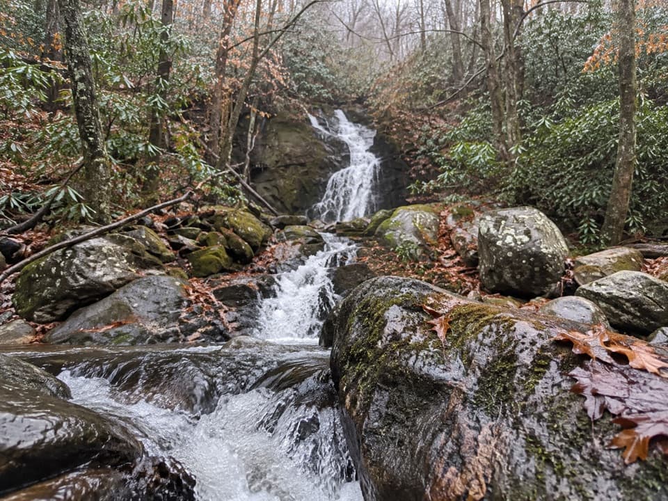 ChallengingGunter Fork Trail4.1 mi · 4.5 hr · 1 mi awayTwo cascades reward a long, steep backcountry climb.
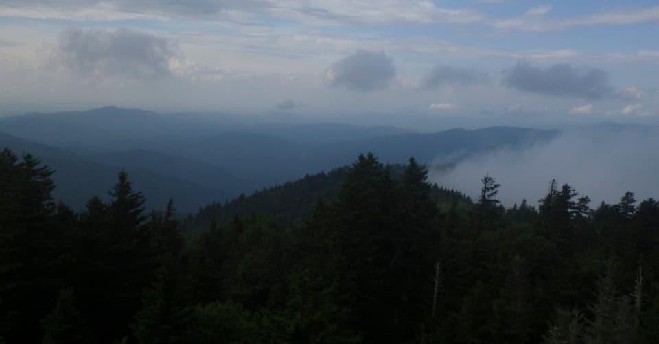 ModerateMount Sterling Ridge Trail5.3 mi · 3.5 hr · 2.5 mi awayA remote 5.3-mile traverse from Mount Sterling to Balsam Mountain Trail.
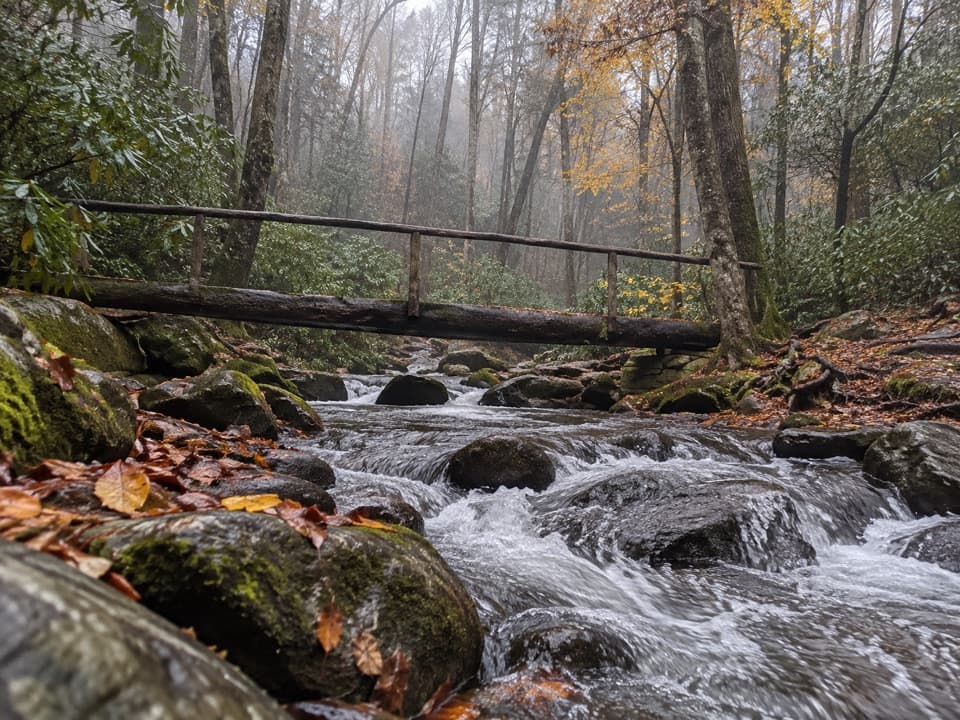 ChallengingLower Mount Cammerer Trail14.8 mi · 8 hr · 3.3 mi awayA long day of creek crossings and ridge climbing to the AT.
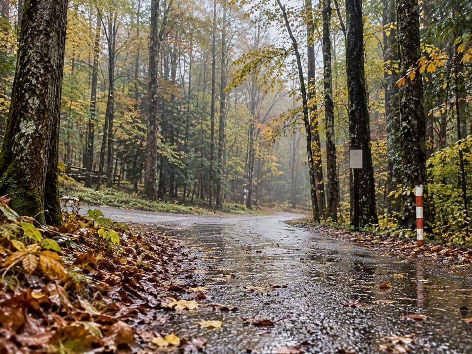 ModerateCosby Horse Trail0.3 mi · 10 min · 3.3 mi awayA short, steep path near Cosby Campground.
 EasyCosby Nature Trail1.3 mi · 45 min · 3.4 mi awayA wooded creek loop with log bridges and rocky crossings.
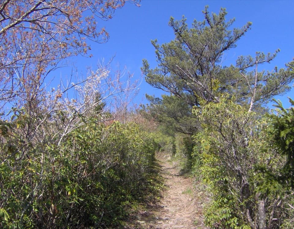 ChallengingSnake Den Ridge Trail10.6 mi · 8 hr · 3.6 mi awayA steep 10.6-mile out-and-back to the Appalachian Trail.
 ChallengingLow Gap Trail5.4 mi · 5 hr · 3.6 mi awayCreek crossings and a steep climb to the remote Walnut Bottom junction.ChallengingLow Gap, Appalachian Trail and Snake Den Ridge Loop Trail13.1 mi · 9 hr · 3.6 mi awayA full-day loop links Low Gap, the AT, and Snake Den Ridge.
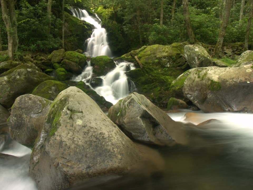 Sight · 2 mi awayMouse Creek FallsA 41-foot waterfall with Midnight Hole along the way.
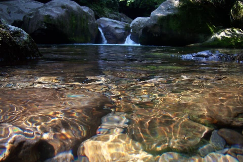 Sight · 2.4 mi awayMidnight HoleA shaded Big Creek pool reached by a steep, rocky scramble.
 Campground · 3.5 mi awayCosby CampgroundA shady, tent-heavy base with hiking routes nearby.
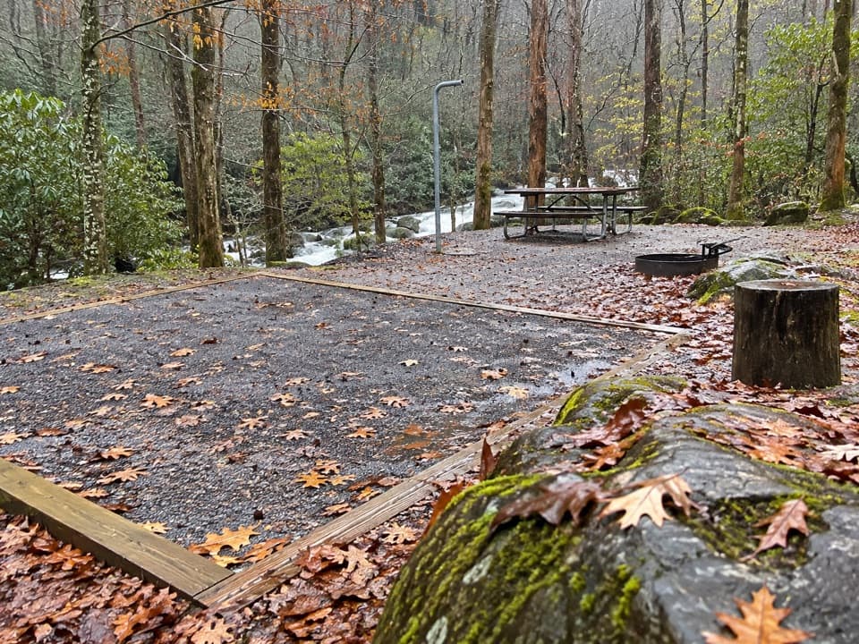 Campground · 3.6 mi awayBig Creek CampgroundTwelve tent sites by the creek, with big hikes close at hand.
 Picnic area · 3.7 mi awayCosby Picnic AreaA shady 35-site picnic stop beside Cosby Creek
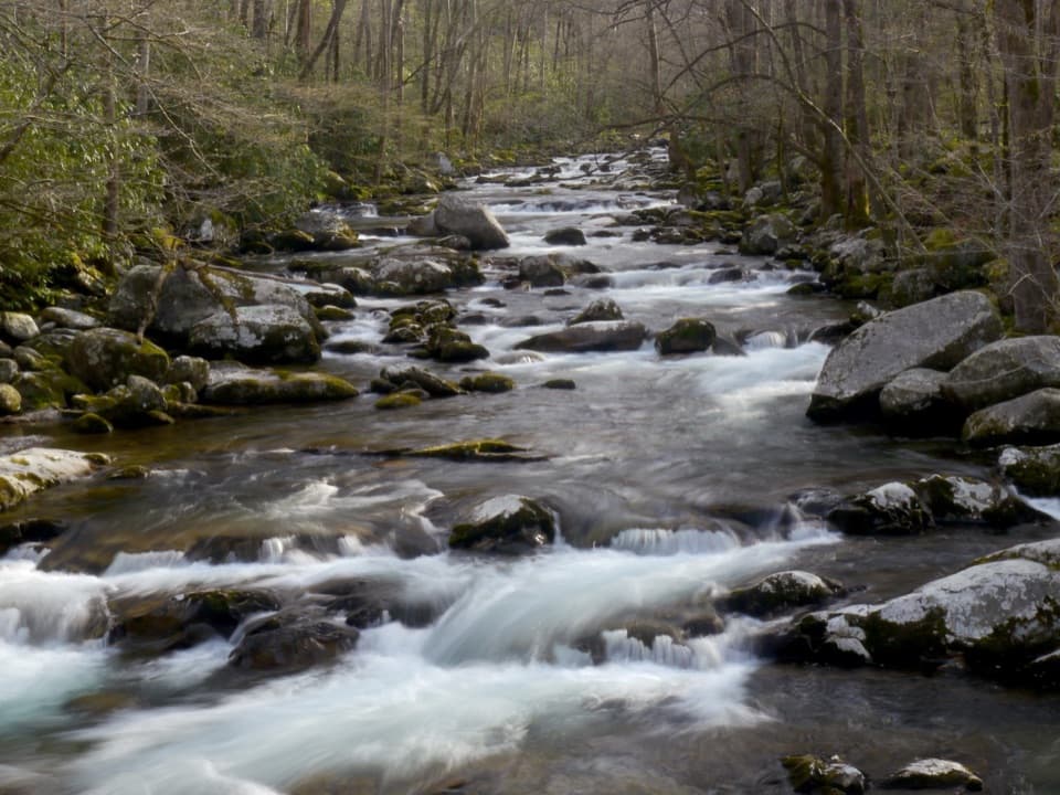 Picnic area · 3.7 mi awayBig Creek Picnic AreaBreak by Big Creek before setting out on a nearby trail.
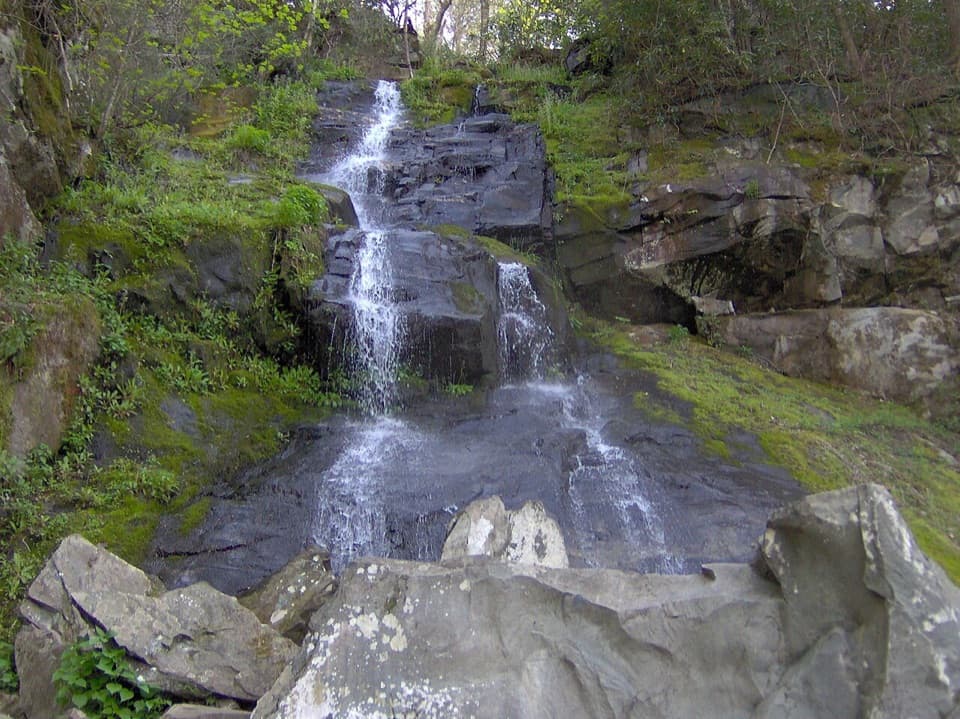 Sight · 5.1 mi awayHen Wallow FallsA 90-foot cascade makes the rooted climb worthwhile.
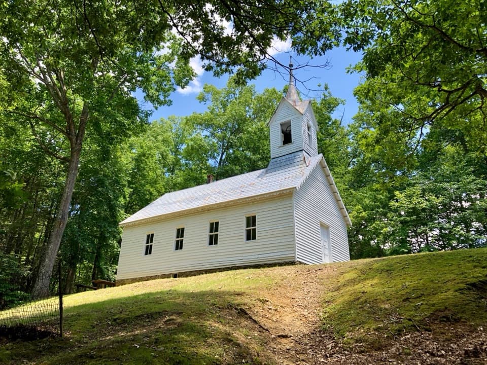 Sight · 5.3 mi awayLittle Cataloochee Baptist ChurchAn 1889 chapel with its original 400-pound bell rewards the hike
Parkwolf’s Great Smoky Mountains ranking

The audio tour guide for the drive, plus offline maps, trails, and wildlife heatmaps for when the signal drops.





