
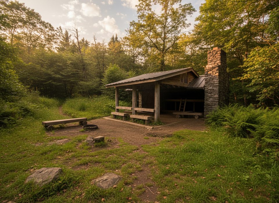
Place · 1.3 mi away
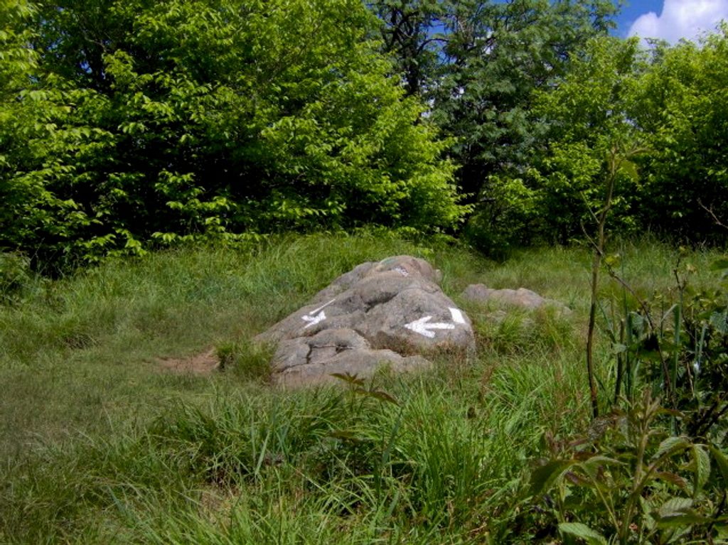
Silers Bald sits on the Smokies’ main crest between Clingmans Dome and Thunderhead, topping out at 5,607 feet on the Appalachian Trail. It’s a classic high-country hike: cool temperatures, old-growth spruce–fir, and intermittent long views along the ridge. Don’t expect a huge open meadow—the summit “bald” has largely grown in—but the journey is the reward here.
Most day hikers start from the Clingmans Dome area and take the short bypass to the AT, heading west. You’ll roll past junctions for Goshen Prong and Double Spring Gap Shelter before reaching the Welch Ridge junction near the top. Pro tip: that sign that mentions 0.4 miles to “Silers Bald” is talking about the shelter; the true summit is closer, with a small clearing and a short side path to a viewpoint. Expect rocky tread, muddy stretches after rain, and a noticeable grind on the way back—your return is mostly uphill.
This ridge delivers moody spruce–fir forest, spring wildflowers like trout-lily and trillium, and songbirds riding the wind along the high spine. Views open in places along burned/cleared sections near Mount Buckley and at small gaps near the summit. On very clear days, the horizons go on and on; on foggy ones, it can feel downright otherworldly.
Silers Bald takes its name from 19th-century grazing, when settlers cleared and maintained high meadows for livestock. Without ongoing grazing or mowing, trees and shrubs reclaimed the summit, which is why you’ll only find small openings today. It’s a living lesson in how the park’s famous “grassy balds” formed and changed over time.
Beneath your boots is ancient Thunderhead sandstone, part of the Ocoee Supergroup—sediments hardened and uplifted during the birth of the Appalachians. A century ago, a petroglyph was recorded near the summit, a reminder that these ridges hold deeper stories than their quiet present suggests.
Black bears occasionally forage blueberries in meadows along Welch Ridge—give them space and manage food properly if you’re backpacking. In spring, wildflowers pop along the trail; in summer, the canopy stays cool and damp; and birdlife is a constant companion on the crest.
Go on a clear weekday morning from late spring through fall for better parking, lighter crowds, and more stable views. After rains, expect mud; in summer, the high-elevation cool is a treat. Winter can bring the clearest vistas, but the road to the trailhead is usually closed.
Place · 1.3 mi away
Place · 3.8 mi away
Place · 3.8 mi away
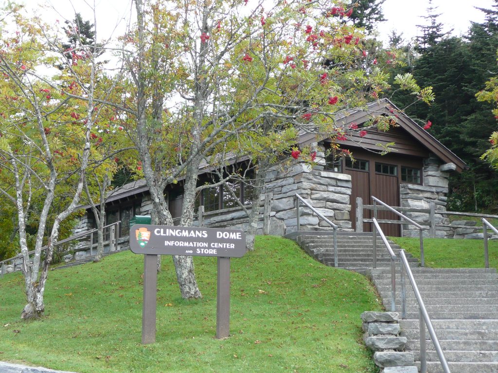
Place · 3.9 mi away
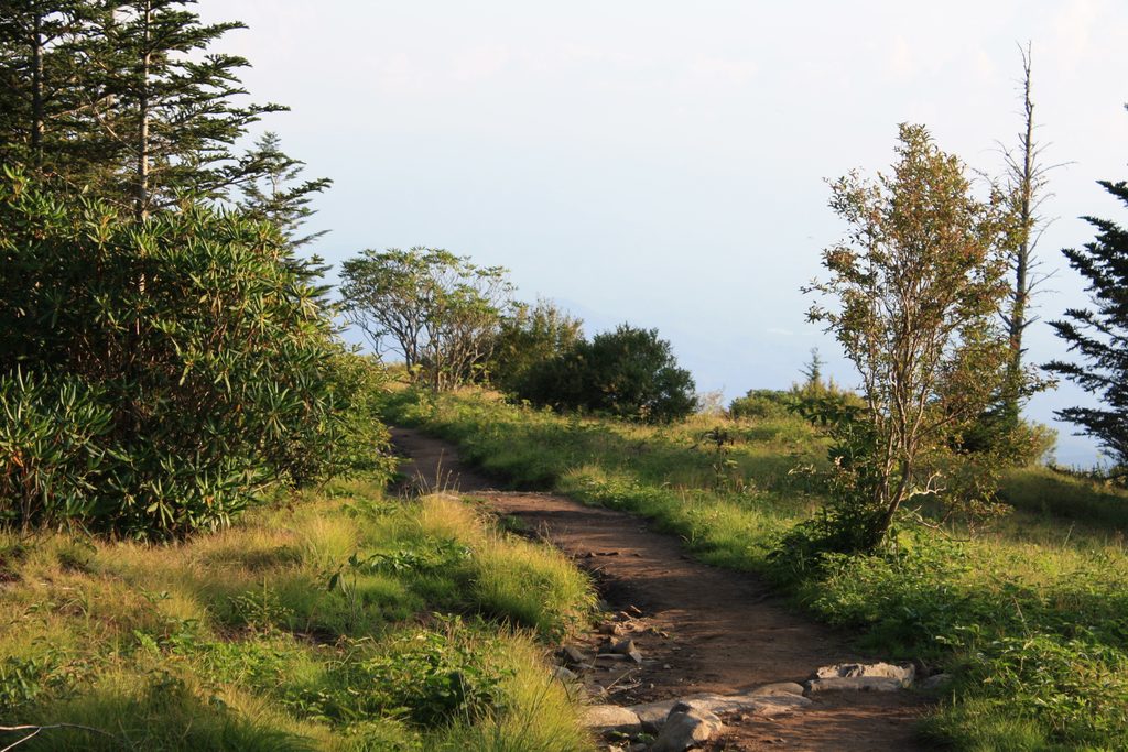
Moderate · 3.9 mi away

Challenging · 3.9 mi away
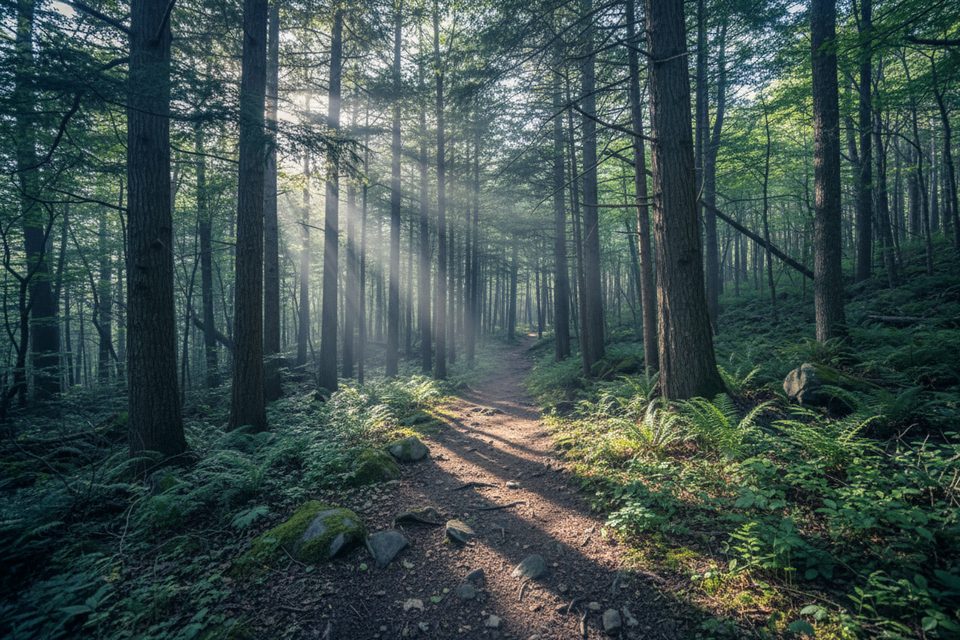
Easy · 3.9 mi away
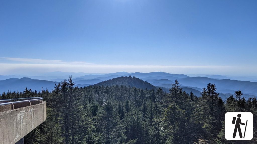
Moderate · 3.9 mi away

Parkwolf Tour Guide
