
Place · 0.5 mi away
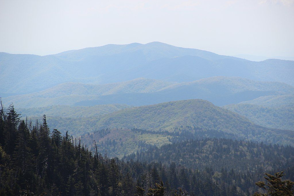
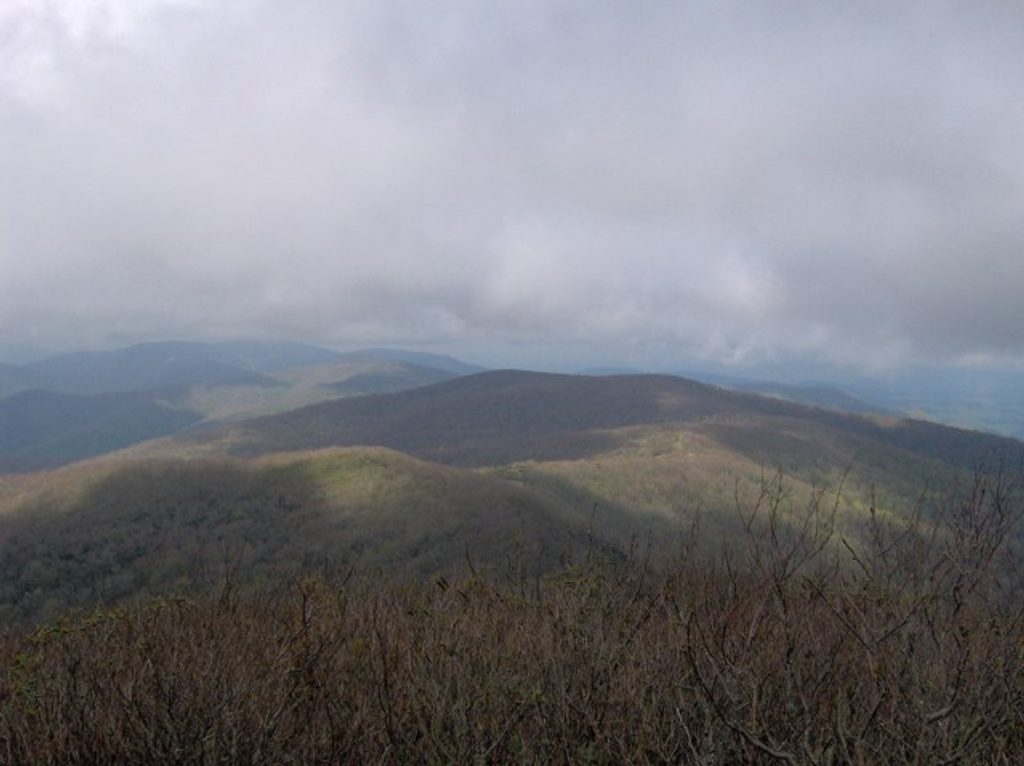
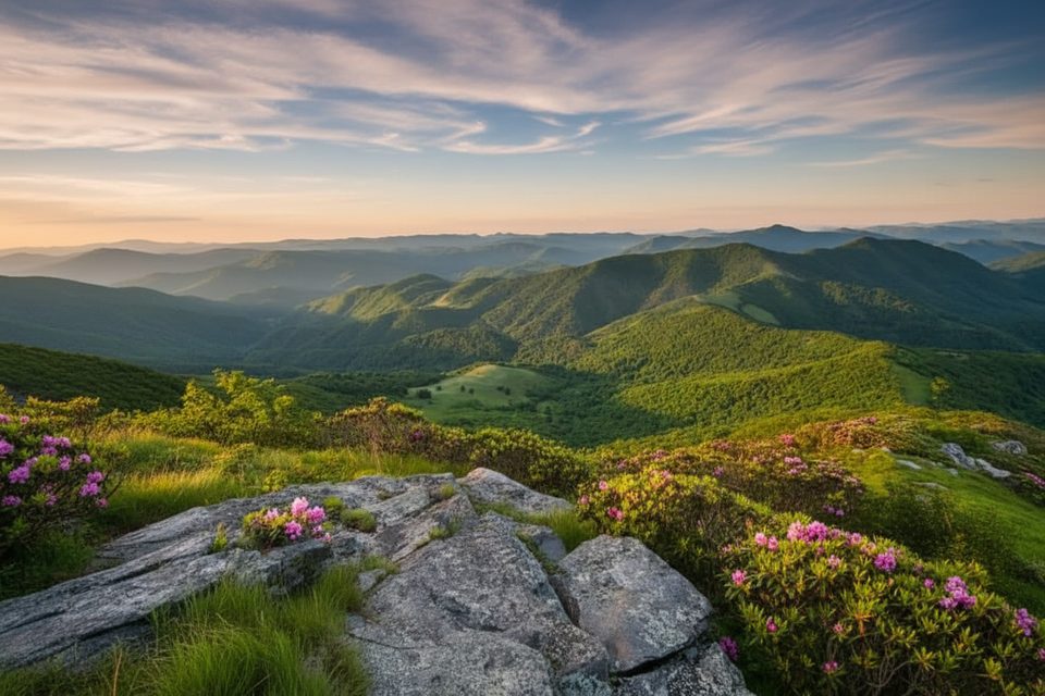
Thunderhead Mountain is a big, rewarding day in the high country—a stout climb that strings together Anthony Creek, Bote Mountain, and the Appalachian Trail to reach a forested summit. The money views aren’t at the true high point; they’re on Rocky Top, a knob on Thunderhead’s ridge that looks out toward Cades Cove and Fontana. Think classic Smokies: steady elevation, rhododendron tunnels, grassy balds, and a real sense of accomplishment.
Most hikers start at the Anthony Creek Trailhead at the far end of the Cades Cove Picnic Area, climbing Anthony Creek to Bote Mountain, then left on the Appalachian Trail at Spence Field to Rocky Top and the Thunderhead high point. Expect about 13.9–14 miles round trip with roughly 3,665 feet of total gain and 7–9 hours on your feet. A shorter approach begins on Laurel Creek Road via the Lead Cove or Bote Mountain trailheads, but it’s still a demanding, full‑day effort. Portions of the lower route are shared with horses—heads up on blind corners.
Best overall window is March–November. Leaf‑off in late fall through early spring improves sightlines, while late spring/early summer is prime for blooms. In winter, expect ice on shaded slopes—traction helps—and be conservative with forecasts. The name “Thunderhead” is a hint: storms can build fast along the ridge.
Thunderhead is built from ancient Precambrian sandstone (part of the Ocoee Supergroup) uplifted during the Appalachian orogeny. The area has a deep human story, too: Spence Field was a historic bald cleared by early settlers; the ridge was surveyed in the 1800s, and there was even a short‑lived Civil War‑era settlement attempt on the north side. Rocky Top’s fame needs no introduction to Tennessee fans.
Start at dawn to beat heat, storms, and parking crunch. For views, lean toward clear, cool days; for flowers, target late spring to early summer. Leaf‑off seasons (late fall–early spring) offer better sightlines if you’re set on tagging the true summit.
Place · 0.5 mi away
Place · 1.5 mi away
Place · 3.3 mi away
Place · 3.4 mi away
Challenging · 3.4 mi away
Easy · 3.4 mi away
Easy · 3.7 mi away
Moderate · 4 mi away

Parkwolf Tour Guide
