Rocky Top

Hard-earned 360° Smokies views from Thunderhead Mountain’s west knob
Rocky Top, Great Smoky Mountains National Park
InsideGreat Smoky Mountains National Park

Overview

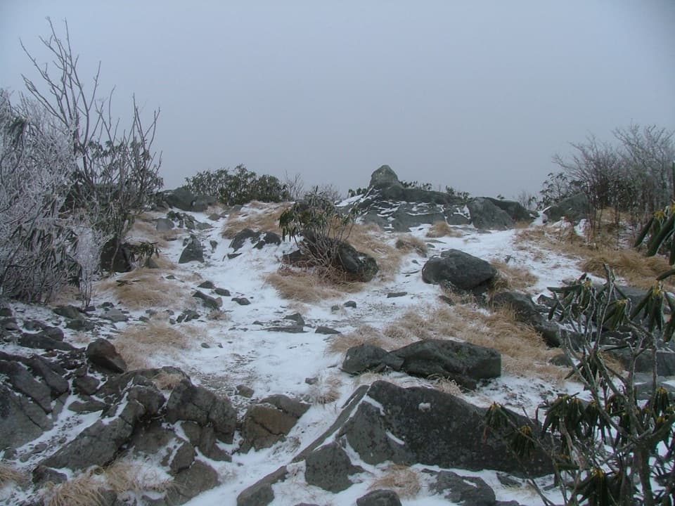
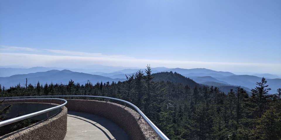
Rocky Top is the rocky, open west knob of Thunderhead Mountain and one of the most rewarding summit views in the Smokies. Expect a full‑day, leg‑burning climb that pays off with panoramic vistas stretching to Fontana Lake, Kuwohi (Clingmans Dome), Mount Le Conte, and Cades Cove. It’s a true backcountry summit, not a roadside overlook.

Route options

  • Lead Cove approach: Lead Cove Trail → Bote Mountain Trail → Appalachian Trail. About 11.4 miles round trip with roughly 3,800–3,900 feet of gain; plan on 7+ hours. Key waypoints include the junction with Bote Mountain around 1.8 miles, then reaching the AT near Spence Field before a final mile or so of ups and downs to the summit.
  • Cades Cove approach: Start at the Anthony Creek Trail from the Cades Cove Picnic Area → Bote Mountain → AT → Rocky Top. Expect about 12.5–13.9 miles round trip and ~3,650–3,700 feet of gain, commonly 7.5 hours moving time. Spence Field makes a great scenic breather before the push to the top.

Rocky Top is the first (western) of Thunderhead’s three knobs; continuing east reaches higher points, but the best views are on Rocky Top.

What you’ll see

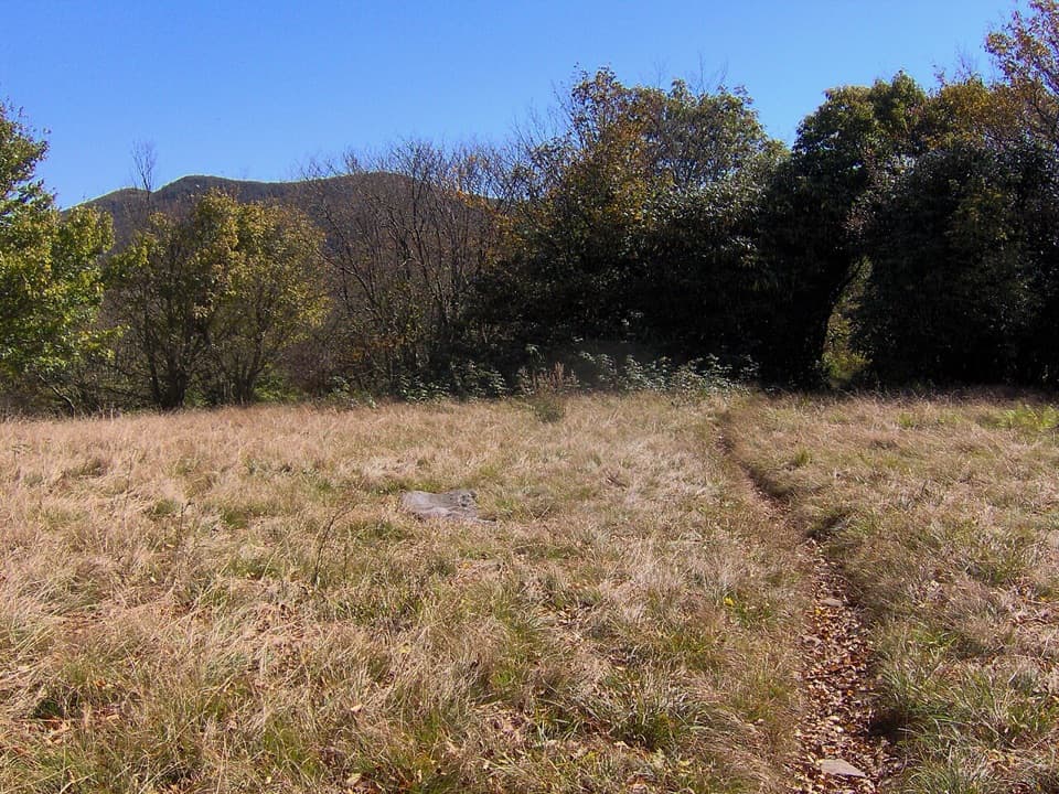
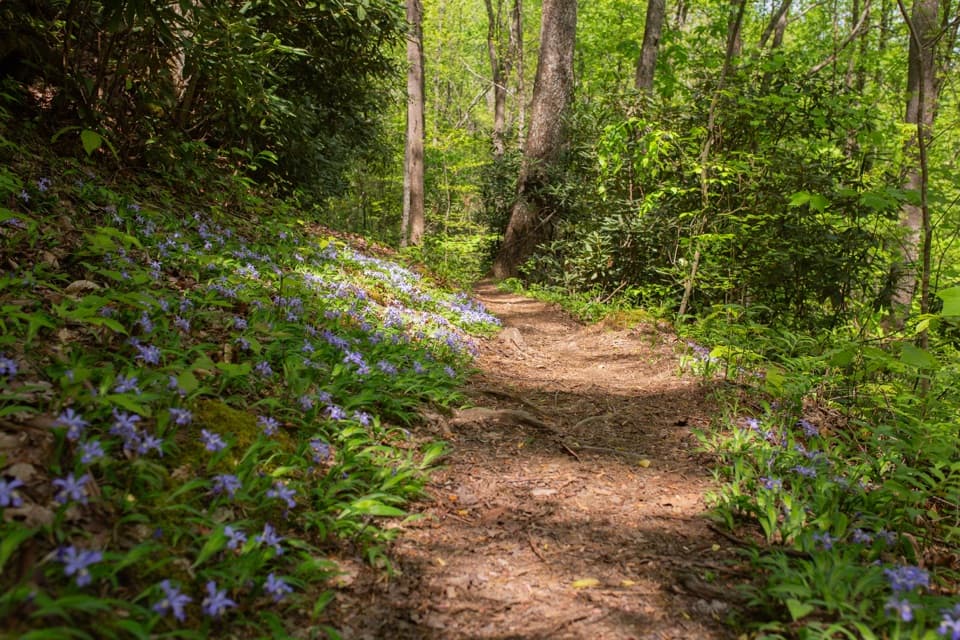
Rhododendron tunnels along Bote Mountain, broad grassy openings at Spence Field, and seasonal wildflower displays are part of the charm. On clear, crisp days—especially after a front—views can reach across Cades Cove toward Townsend/Maryville and even toward Knoxville. At the summit, the rocky perch and big sky make it an ideal spot for a long, quiet break.

Trail conditions and safety

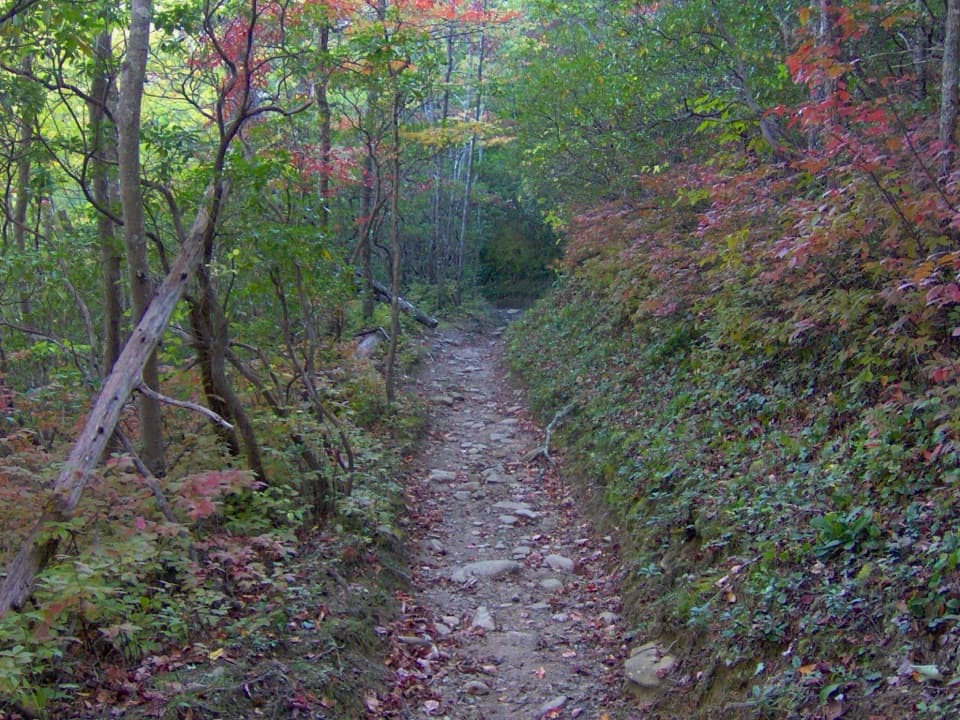
This is a demanding climb with sustained steep grades. Expect sections eroded into trench‑like ravines, mud after storms, occasional deadfall, and, in colder months, shaded ice patches. Late summer vegetation (including snakeroot) can crowd parts of the upper trail. Water is intermittent; there’s a source near Spence Field Shelter (a short distance in the opposite direction on the AT), but always treat/filter. Black bears are active—keep distance, store food properly, and carry bear spray where legal.

History and culture

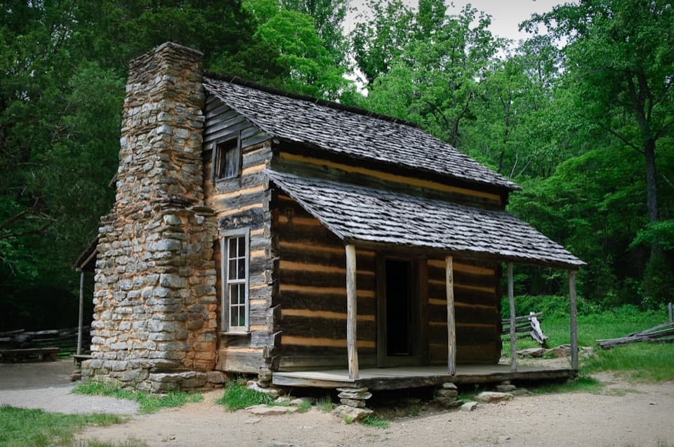
You’ll walk a corridor used since the early 1830s; Bote Mountain was improved as a road in the 1850s and remained drivable near Spence Field into the late 1960s before closures restored the backcountry feel. Spence Field, named for early settler James Spence, and nearby balds were largely cleared for grazing—these aren’t entirely natural balds. Rocky Top is widely cited as the inspiration for the song that became a Tennessee state song and the University of Tennessee fight song.

Geology at a glance

The Smokies’ high ridges are built from ancient sands, silts, and clays of the Ocoee Supergroup, later metamorphosed during Appalachian mountain‑building. The Great Smoky fault thrust older rocks over younger ones, creating the striking inversion you can appreciate from the summit: younger limestone floors Cades Cove while older, uplifted ridges surround it. Erosion over vast time has sculpted today’s rounded but rugged skyline.

Logistics and amenities

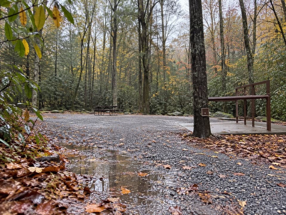
A park parking tag is required. Parking at trailheads is limited and fills early. Restrooms are available at the Cades Cove Picnic Area trailhead; there are no facilities on the trail. There is no potable water provided—bring what you need and a filter. Check current road and trail conditions with the park before you go; road closures (like Newfound Gap Road during slides) can affect drive times.

Best time to visit

Late spring through early summer brings rhododendron and mountain laurel blooms around Bote Mountain and Spence Field. Clear days right after a front deliver the farthest views. Winter can add icy patches, and wet periods mean mud. Start at dawn for cooler temps, steadier pace, easier parking, and better odds of long‑range visibility.

Avoid name confusion

Don’t aim for a similarly named viewpoint outside the park. For the Cades Cove route, navigate to the Cades Cove Picnic Area and the Anthony Creek Trailhead; for the other classic route, use the Lead Cove Trailhead.

Pros

  • Sweeping 360° views of Fontana Lake, Kuwohi, LeConte, and Cades Cove
  • Famous namesake of Tennessee’s Rocky Top song

Cons

  • Very strenuous, 11–14 miles and ~3,600–3,900 ft of gain
  • Trail can be muddy, eroded, or overgrown; views vanish in clouds

Tips

  • Start at dawn to beat limited parking and give yourself turnaround margin.
  • Bring 2–3 liters of water plus a filter; sources are intermittent and must be treated.
  • Trekking poles help on steep, eroded grades and slippery descents.
  • Check park road and trail alerts the morning of your hike before committing.
  • Be bear‑smart: keep distance, secure food, and carry bear spray where legal.
The Parkwolf tour guide sitting on a phone mounted in a car

Parkwolf Tour Guide

Like a tour guide in your car.

Save the places you found around Great Smoky Mountains, then let Parkwolf guide the drive between them.Download Parkwolf on the App Store