Parking
Start at Middle Prong Trailhead at the end of Upper Tremont Road. The road is unpaved but maintained. A parking tag is required for stays longer than 15 minutes; the nearest listed restroom is at the Great Smokies Welcome Center in Townsend.
#18 of 197 trails in Great Smoky Mountains
Great Smoky Mountains National Park, TN · NC
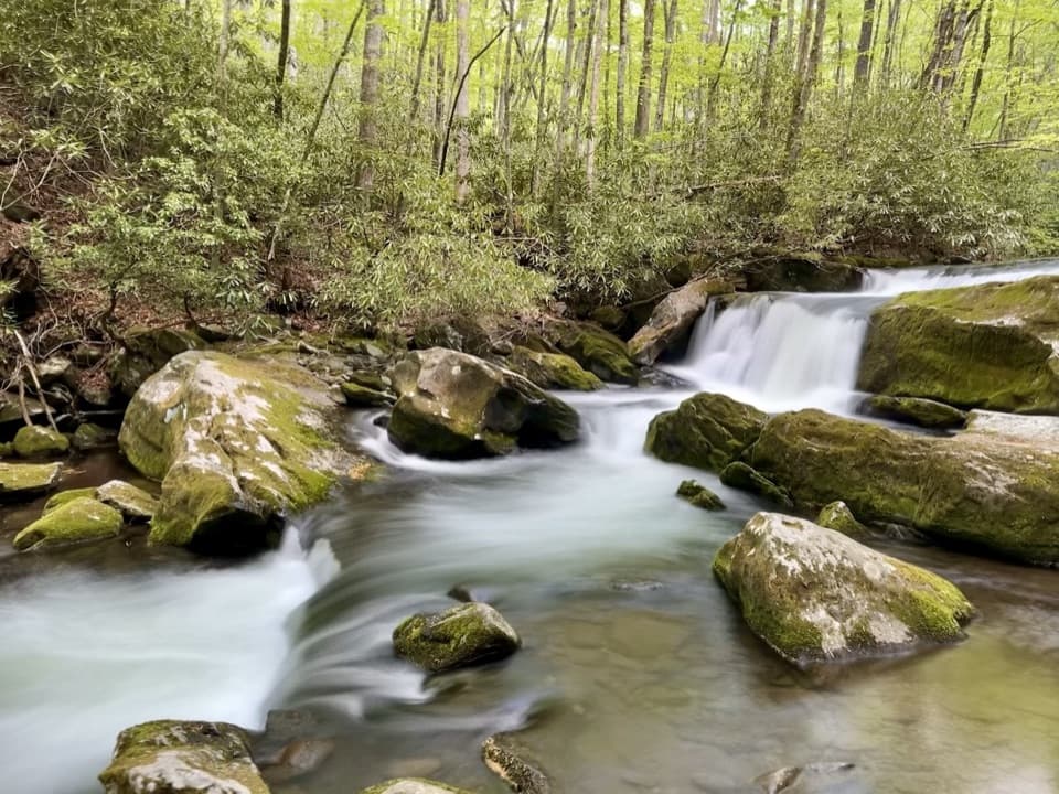
A long railroad grade follows cascades into a rougher upper trail.
Overview
Map & elevation
Plan your hike

The highest, rockiest slopes around here are a summer buffet for grizzly bears.
Great Smoky Mountains Tour Guide
Parkwolf is a GPS audio tour guide for Great Smoky Mountains National Park. As you drive, it chimes in with what’s ahead: hidden gems, upcoming stops, history, geology, and wildlife, right through your car’s speakers.
See the Great Smoky Mountains audio tourRecorded for this trailhead
Middle Prong and Lynn Camp Prong Cascades“Middle Prong trailhead is coming up, a good choice for a short walk beside tumbling water.”
Plays as you drive up to this trailhead in the Parkwolf Great Smoky Mountains Tour Guide.
More stories near here in the app
“Fantastic app with many points of information… It’s great to just turn on while you’re driving and it gives you an audio tour of the national Park. We love it!!!!”


Trail guide
Middle Prong is an 8.2-mile out-and-back from the trailhead at the end of Upper Tremont Road. It follows the stream on a former railroad grade, passes several cascades, then gets rougher as it climbs toward the headwaters. Allow about five hours for the full trail with stops. The line in your map follows the established trail to its end and back; a short, unmarked side path near the far end leads to Indian Flats Falls and adds a little distance.
If you want a shorter outing, the first stretch to Lynn Camp Prong Cascades is about 1.4 miles round trip. That lower walk is wide and mostly gentle. It is a very different commitment from the full trail.
The trail starts at the meeting of Lynn Camp Prong and Thunderhead Prong, then crosses a metal footbridge and settles beside the water. Much of this lower section is an old, broad railroad grade, so the path is easier underfoot than the miles ahead. Around four-tenths of a mile, Lower Lynn Camp Falls spills over a series of low rock steps; a clearer view opens a little farther along. Lynn Camp Falls comes next, around seven-tenths of a mile from the start. The stream, boulders, and short falls make this stretch worthwhile even if you turn around early.
The path stays beside the prong through a wooded corridor, with short rocky sidetracks to smaller cascades. At about 2.5 miles, Panther Creek Trail branches toward Jakes Gap; keep to Middle Prong for the longer hike. The grade becomes rougher beyond this junction, and the walk feels less like a stroll than the first mile. Around 3.1 miles, a chimney and other old remnants recall the logging and settlement that once filled this valley.
Near 3.7 miles, the trail crosses Indian Flats Prong on a footbridge. Two smaller creek crossings come before it and lack bridges, so wet or high water can make the stepping stones harder to manage. Beyond the bridge, the path climbs in switchbacks toward its end. Expect more uneven ground here, and save time and energy for the return trip.
Just over four miles in, a short, unmarked right-hand spur leads toward Indian Flats Falls. The falls drop in three tiers for roughly 60 feet. The upper cascade is easiest to see; rhododendron and broken terrain hide much of the lower section. Rocks beside the water are slick, so enjoy the falls from a stable spot instead of climbing around for a closer view. The spur is not part of the 8.2-mile mapped trail distance, and it is easy to walk past if you are expecting a signed junction.
The drive to the trailhead follows unpaved Upper Tremont Road, which is maintained. A parking tag is required if you leave your car for more than 15 minutes. There is no restroom listed at the remote trailhead; the nearest listed restroom is at the Great Smokies Welcome Center in Townsend. Dogs are not allowed on this park trail. For a much shorter outing, use the cascades as your turnaround rather than treating the full route as a casual waterfall walk.
Wildlife
 1,569 sightingsBlack BearMost seen around 7 PMSighting map
 900 sightingsElkMost seen around 7 AMSighting map
 13 sightingsBald EagleMost seen around 9 AMSighting map
 142 sightingsTimber RattlesnakeMost seen around 6 PMSighting map
 26 sightingsBobcatMost seen around 8 PMSighting map
 42 sightingsRiver OtterMost seen around 7 AMSighting map
Sighting maps show where each species has been reported across Great Smoky Mountains. Wildlife moves, so no sighting is guaranteed.
Keep exploring
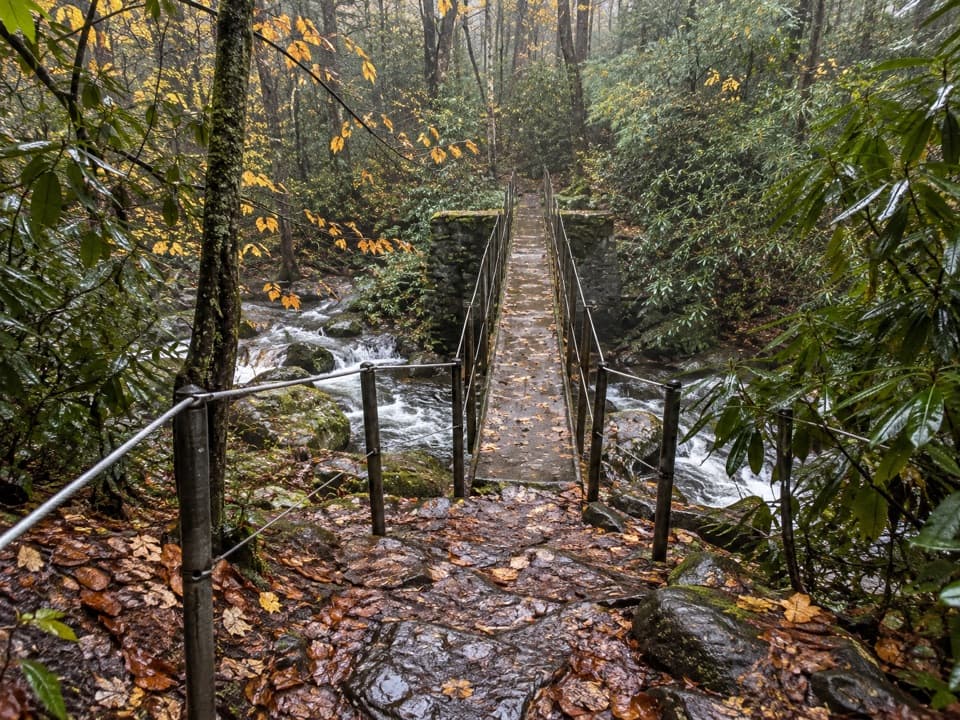 EasyThunderhead Prong Quiet Walkway1.4 mi · 45 min · At the trailheadA shaded creek walk with an old footbridge from Tremont’s logging days.EasyLynn Camp Prong Cascades Trail1.4 mi · 45 min · At the trailheadAn old railroad bed follows a mountain stream to stepped cascades.
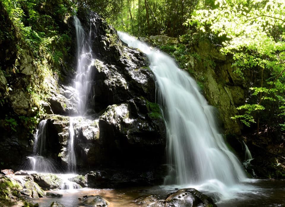 ModerateSpruce Flats Falls Trail1.8 mi · 2 hr · 1.9 mi awayA short Smokies waterfall hike with a steep, rocky finish
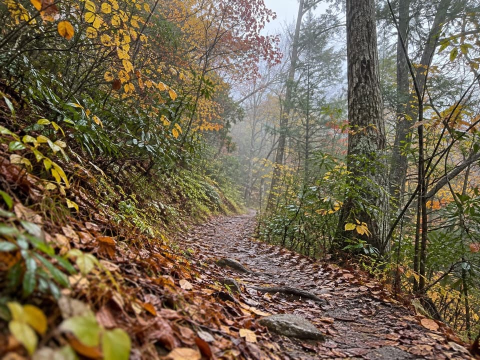 ModerateLumber Ridge Trail8.3 mi · 5 hr · 1.9 mi awayA steady forest climb to a backcountry junction and back.
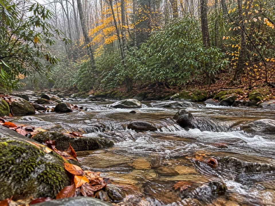 ChallengingPanther Creek Trail2.2 mi · 2.5 hr · 2 mi awayTen stream crossings on a steep backcountry connector
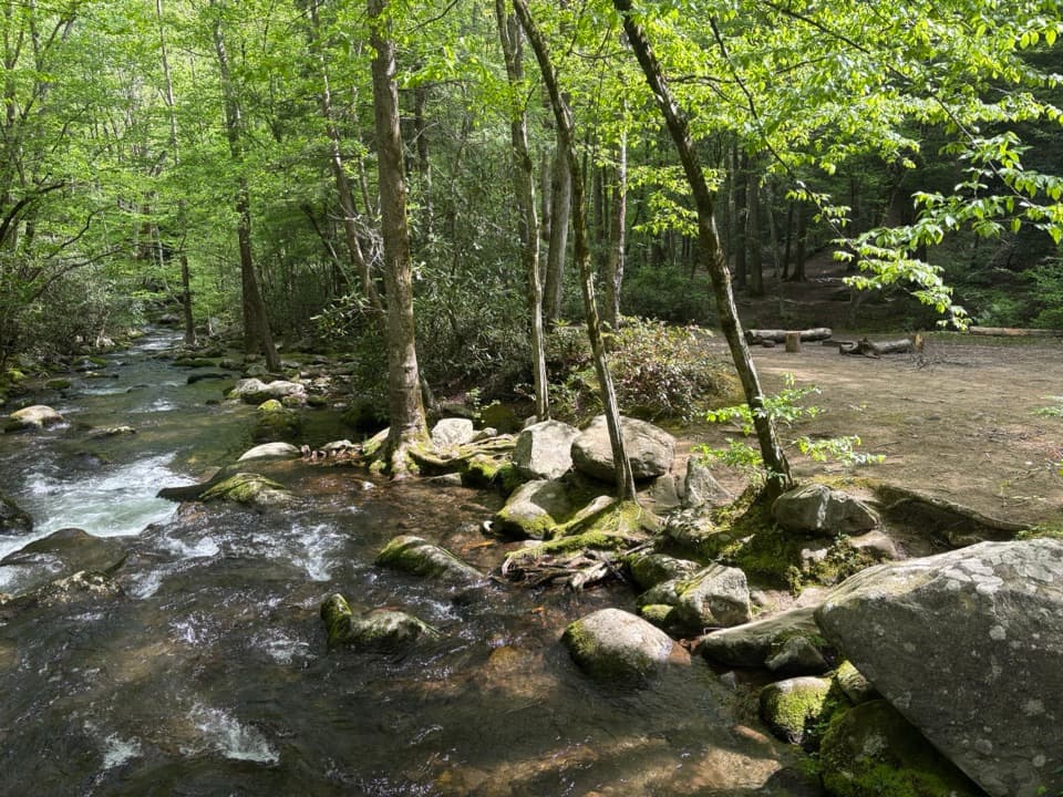 ModerateWest Prong Trail5.4 mi · 3.3 hr · 2 mi awayA steady forest climb to a riverside backcountry campsite.
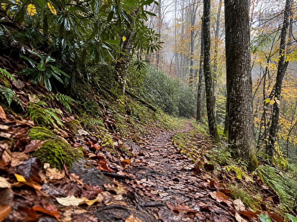 ModerateLynn Camp Prong Trail3.7 mi · 3 hr · 2.8 mi awayAn old logging grade gives way to a rocky ridge climb.
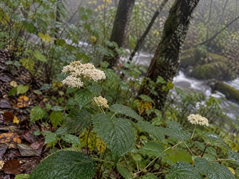 ModerateGreenbrier Ridge Trail4.2 mi · 3.5 hr · 2.8 mi awayA wildflower ridge route for hikers already deep in the backcountry.
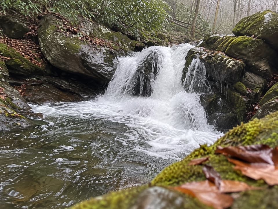 Sight · 0.5 mi awayLynn Camp Prong CascadesEasy cascades on an old railroad grade through rhododendron.Sight · 1.3 mi awaySpruce Flats FallsFour tiers of falls make this steep Tremont walk worth the effort.
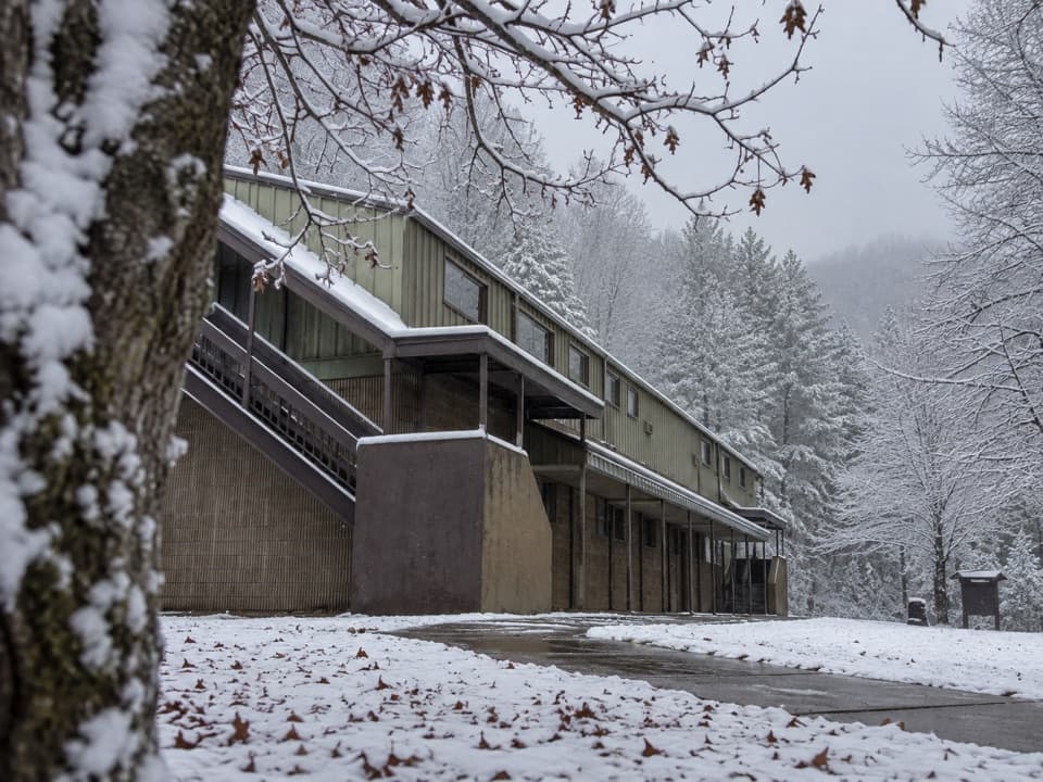 Visitor center · 2 mi awayTremont Visitor CenterA practical hike-planning stop with Smokies books and field guides.
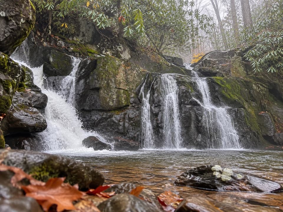 Sight · 2.7 mi awayIndian Flats FallsThe unmarked spur leads to tiered falls after four creekside miles.
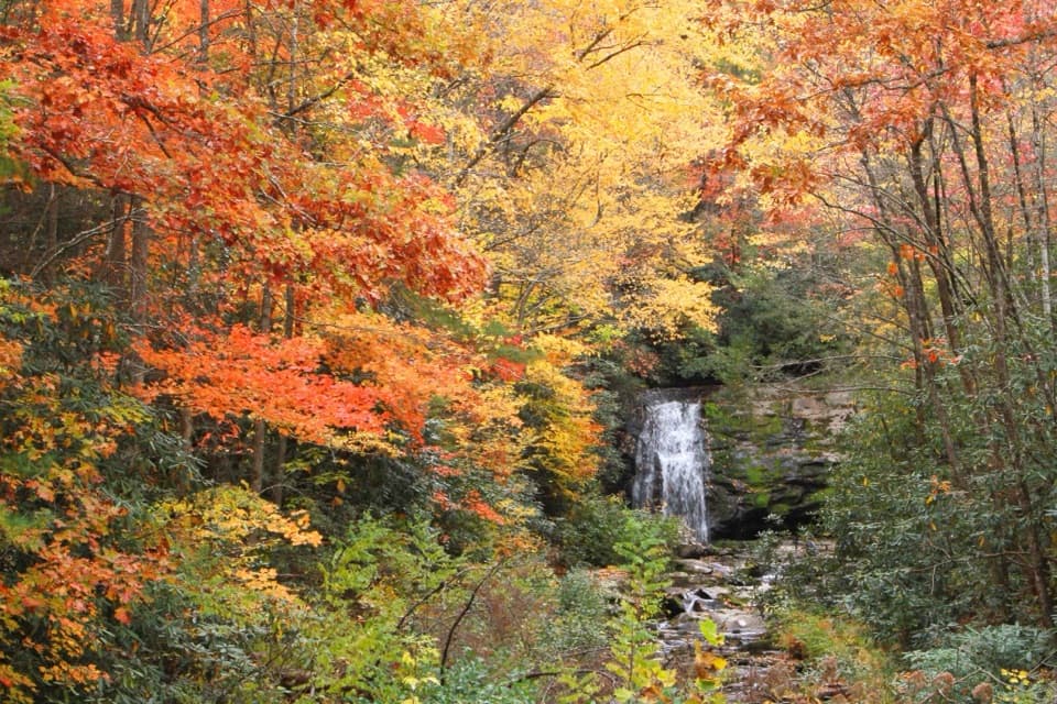 Sight · 3.6 mi awayMeigs FallsA roadside waterfall view without adding a hike.
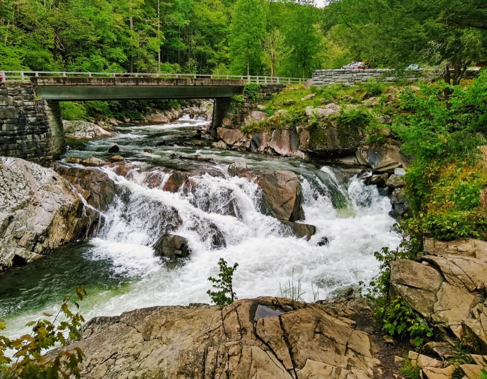 Sight · 3.6 mi awayThe SinksA logging blast opened the bend behind this rushing cascade.
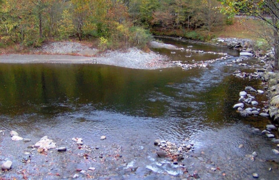 Sight · 3.6 mi awayTownsend WyeRocky Little River access just beyond Townsend's park entrance.
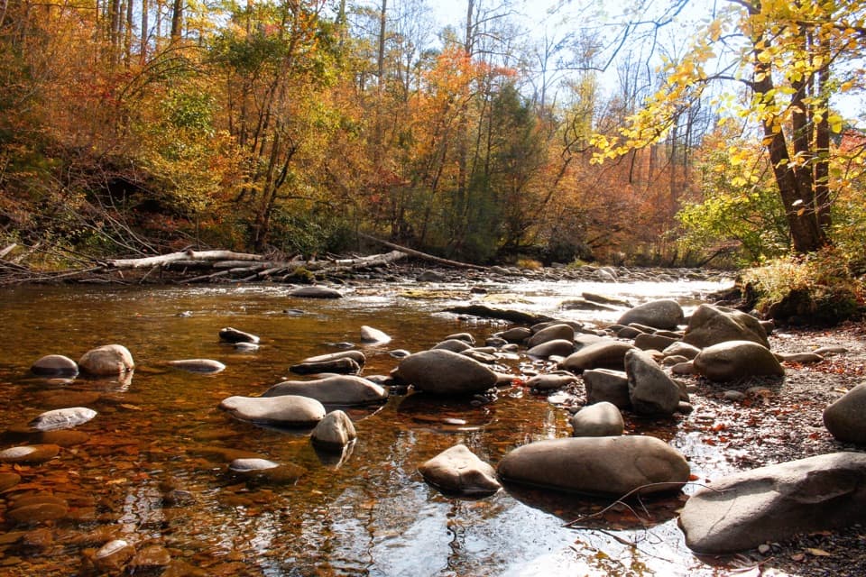 Picnic area · 4.4 mi awayMetcalf Bottoms Picnic AreaA riverside lunch pairs with a 3.4-mile schoolhouse walk.
Parkwolf’s Great Smoky Mountains ranking

The audio tour guide for the drive, plus offline maps, trails, and wildlife heatmaps for when the signal drops.





