Easy

Thunderhead Prong Quiet Walkway

Shaded creekside stroll to a steel bridge and boulder filled prong
Thunderhead Prong Quiet Walkway, Great Smoky Mountains National Park
Distance1.4 mi
Typical time45 min
DifficultyEasy
PetsNot allowed

Overview

A longer-than-usual “Quiet Walkway,” this mellow path trades crowds for creek music. Plan on roughly 1.3–1.4 miles total out and back (about 0.7 miles one way) with gentle grades. It’s designed for a quick, peaceful immersion—easy footing for most hikers and a great reset if the park feels busy.

Getting There & Route

Drive past the Institute on Tremont Road and continue the 3-mile gravel Upper Tremont Road to the end. Park at the Middle Prong Trailhead. Start up Middle Prong Trail and very soon take the narrower path on the right signed for the Thunderhead Prong Quiet Walkway—the sign sits slightly up Middle Prong, which can be confusing.

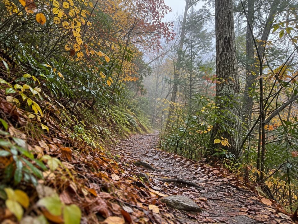
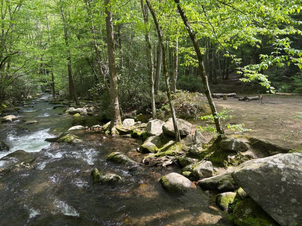
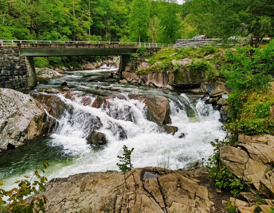
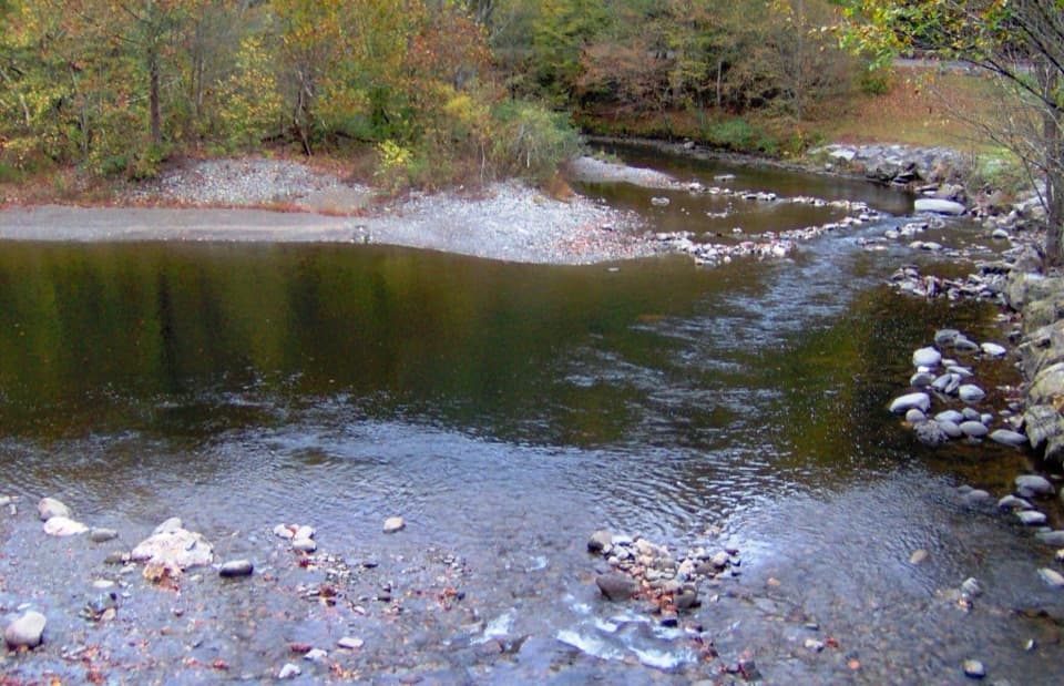
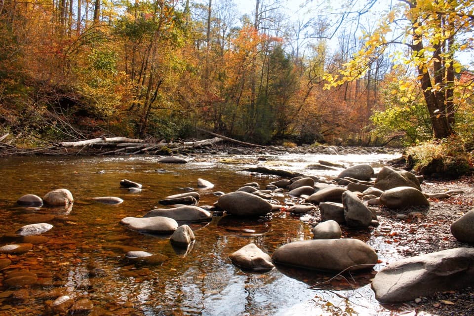
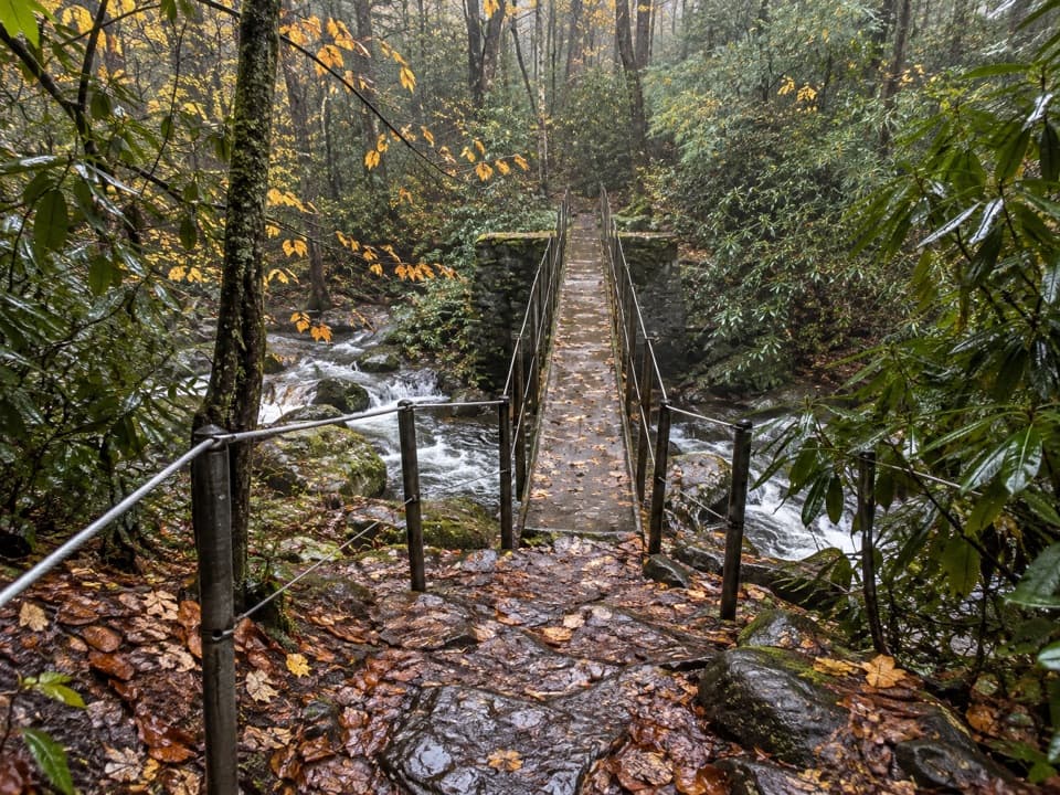
The walkway follows Thunderhead Prong through cool, shaded forest. You’ll cross a slim metal footbridge set on old railroad works from the logging era, rock-hop Long Branch, and continue to a quiet, boulder-strewn bank of Thunderhead Prong where the trail simply stops. Turn around and retrace your steps.

What You’ll See

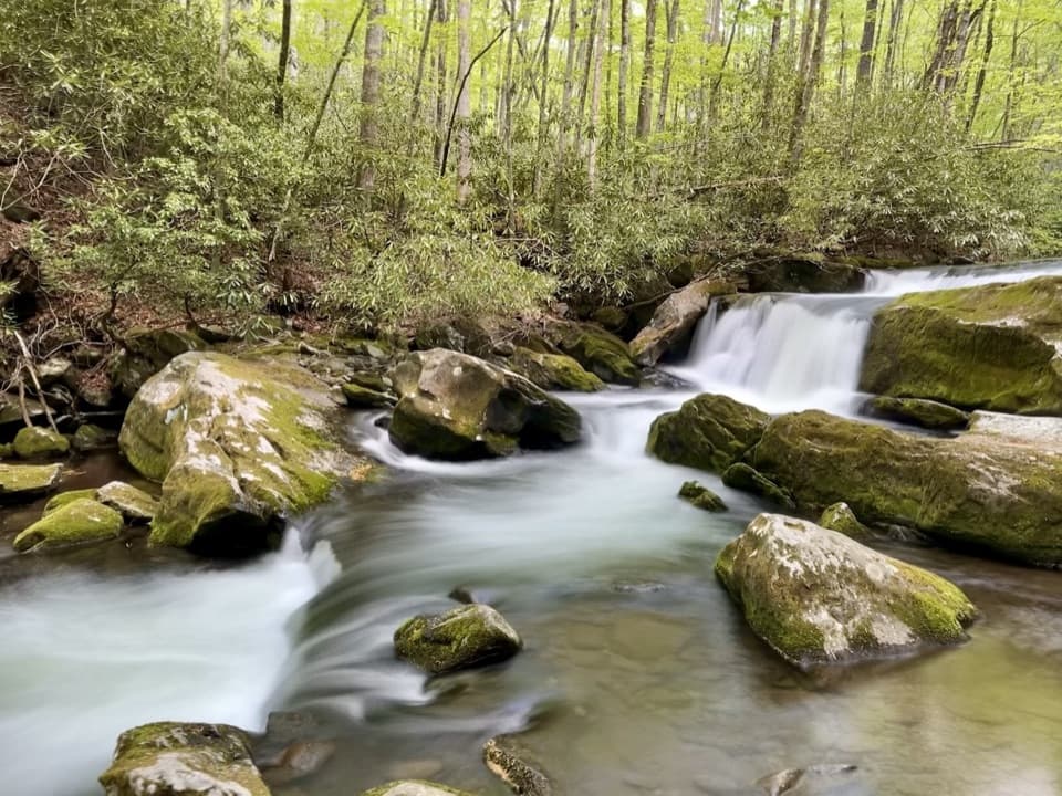
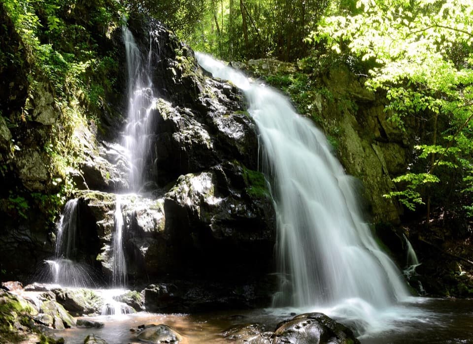
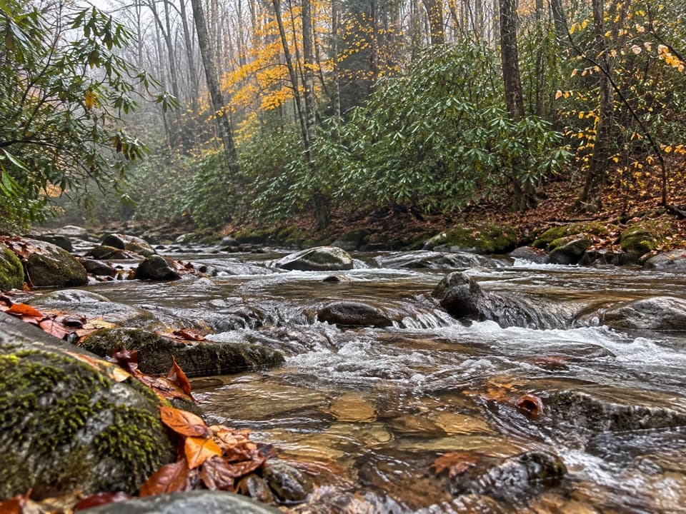
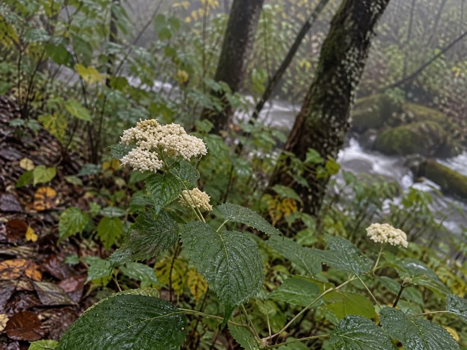
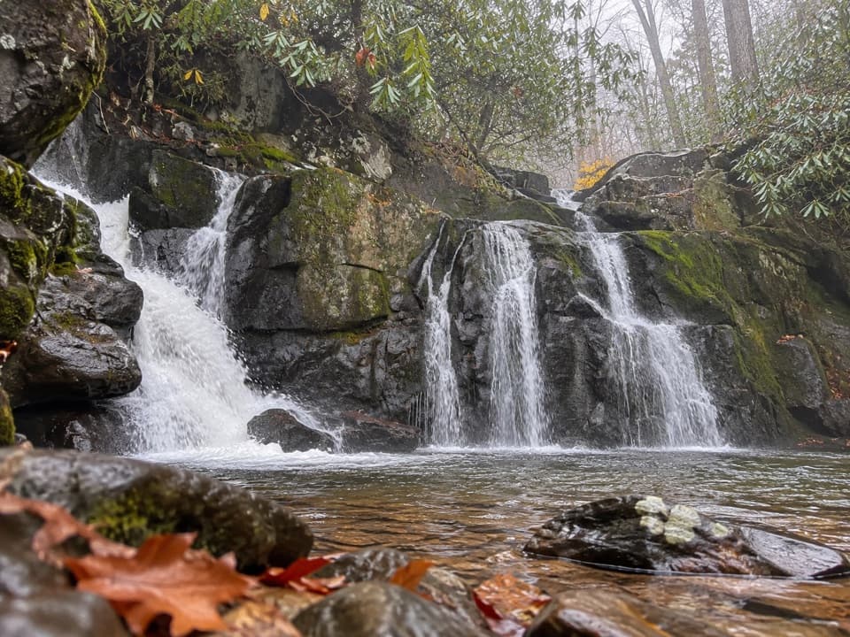
Expect constant water views and sounds, groves of American hornbeam, and rich fern life (grapefern is abundant). As the valley opens, look for a more diverse hardwood mix including Carolina silverbell and alternate-leaf dogwood. Near the confluence with Sams Creek the forest feels airier and the stream broadens—great spots to linger.

Trail Conditions & Tips

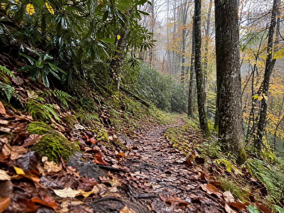
Generally easy tread, but sections can be muddy with occasional downed trees. Waterproof shoes help, and trekking poles are handy on slick rock. Keep kids close on the elevated footbridge. Parking can fill at peak times; a park parking tag is required. No pets. Do not confuse this signed walkway with the strenuous, unmaintained manway in the area—this route is short, clear, and family-friendly.

Best Time to Hike

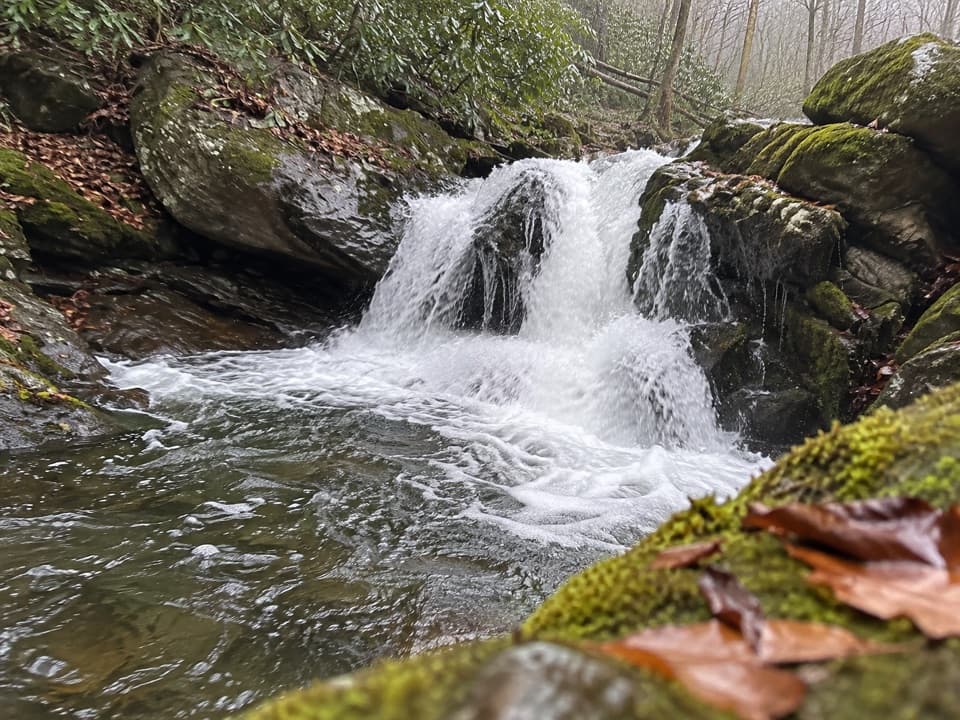
Mornings or weekdays are your best bet for solitude and easier parking. The shaded canyon stays pleasant on warm days, and the creek is especially photogenic after light rain—just expect slick rocks. Sunset light filters nicely through the trees, but bring a headlamp if you’ll push the day.

Nearby Add-On

If you want more without committing to a long trek, add a short out-and-back on the Middle Prong Trail to see the Lynn Camp Prong Cascades from the same parking area.

Pros

  • Rail-era bridge and abutments give a tangible peek into Tremont’s logging past
  • Backcountry feel and creek intimacy with minimal effort compared to other area hikes

Cons

  • Trail junction signage sits slightly up the connector and can confuse first-time visitors
  • After storms, expect blowdowns and a slick rock-hop at Long Branch

Parking

Park at the Middle Prong Trailhead at the end of Upper Tremont Road (gravel). Lot can fill during peak times; a park parking tag is required.

Caution

Expect muddy spots, occasional downed trees, and slick rocks after rain. Keep kids close on the elevated steel footbridge. Do not confuse this maintained walkway with the unmaintained manway nearby. Check Upper Tremont Road status before you go. No pets.

The Parkwolf tour guide sitting on a phone mounted in a car

Parkwolf Tour Guide

Like a tour guide in your car.

Bring Great Smoky Mountains trail research into the car, with offline maps and stories that play as you drive.Download Parkwolf on the App Store