Overview
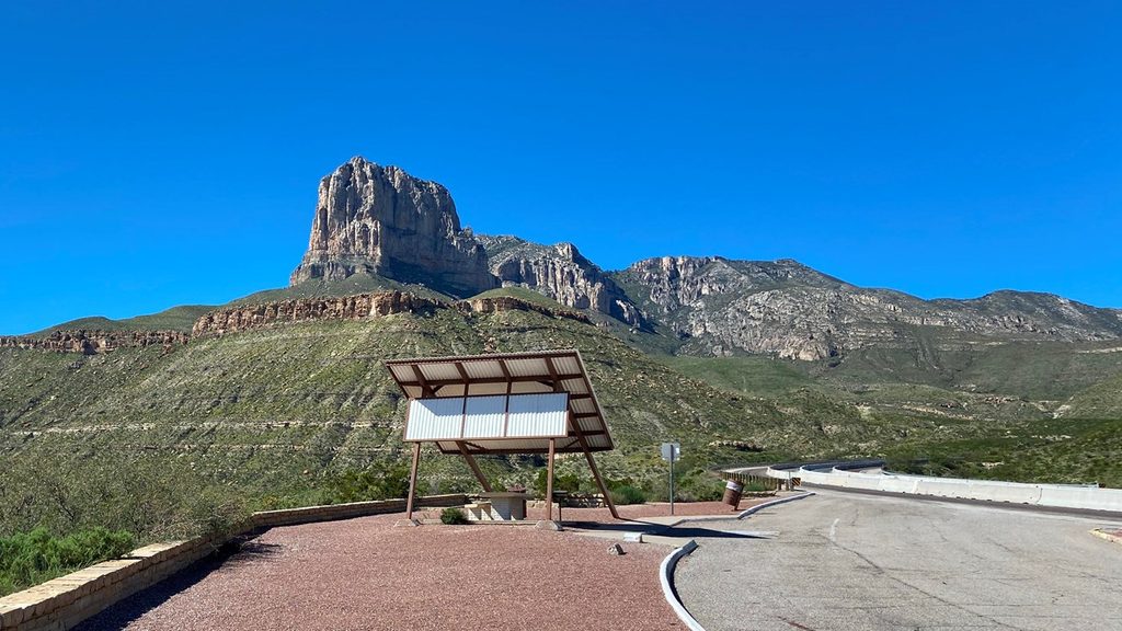
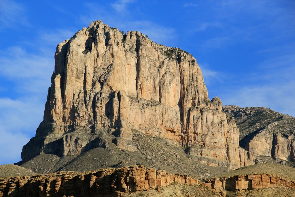
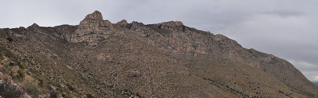
This is the classic roadside stop for a face‑to‑face look at El Capitan, the park’s signature limestone fin. It’s a fast, rewarding pull‑off along US‑62/180 just a few miles from Pine Springs—perfect when you want the big view without a hike. Most visits are a few minutes to half an hour.
What You’ll See
- A sweeping, unobstructed view of El Capitan’s sheer south face and the surrounding desert basin and ridges.
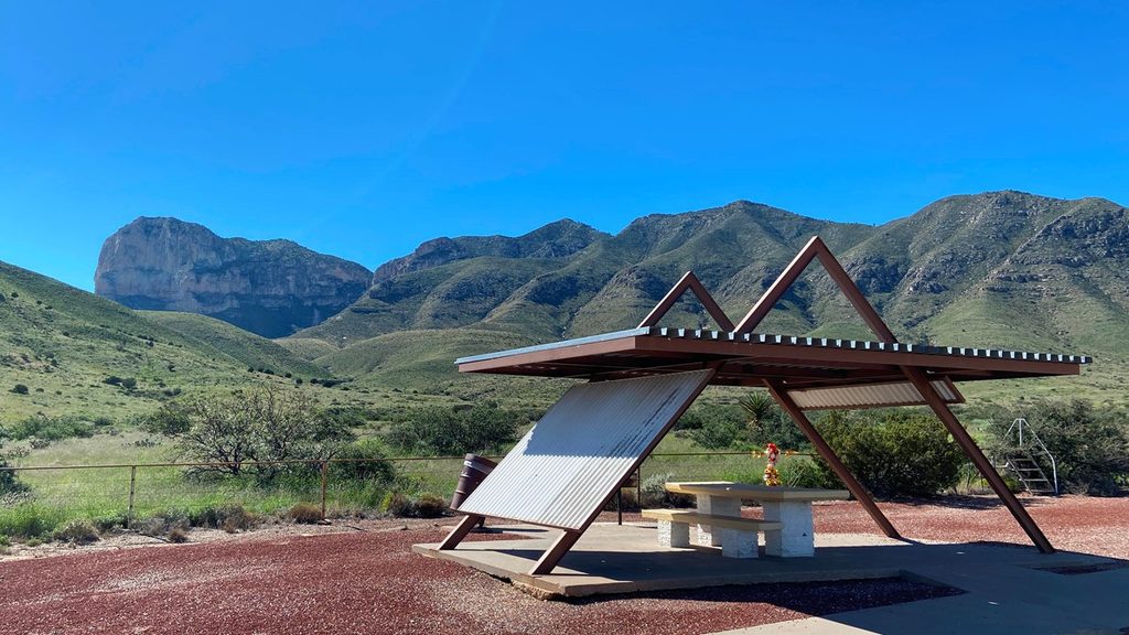
- Covered picnic tables at small roadside pullouts and simple interpretive signs that explain the landscape.
- Wide‑open skies—and often, plenty of wind. Expect full sun and exposure.
Logistics
- Pullouts exist in both directions on US‑62/180 a few miles west/south of the Pine Springs area. Parking is limited; have a backup plan if the small lots are full.
- There are no facilities at the pullouts. Use restrooms and fill water at Pine Springs (visitor center/campground). A Texas highway rest area about 10 miles north has full facilities.
- Pets are allowed at the roadside pull-off. The highway is busy—keep them leashed and close.
- The corridor is accessible any time, but the park’s services are extremely limited: no gas, no restaurant, no groceries. Bring what you need. The park is in Mountain Time and phones sometimes show the wrong time.
Best Time to Visit
- Dawn and late afternoon deliver the most flattering side‑light—sunrise often paints El Capitan beautifully. Midday can be harsher and busier.
- Fall and spring weekends see more crowding around Pine Springs; swing by early or later in the day for easier parking.
- It’s windy year‑round. In hot months, even a short stop feels intense—come early or late.
If You Want a Hike With a View
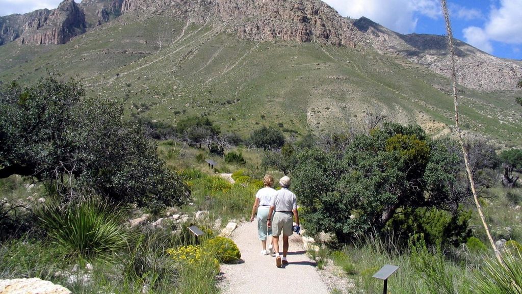
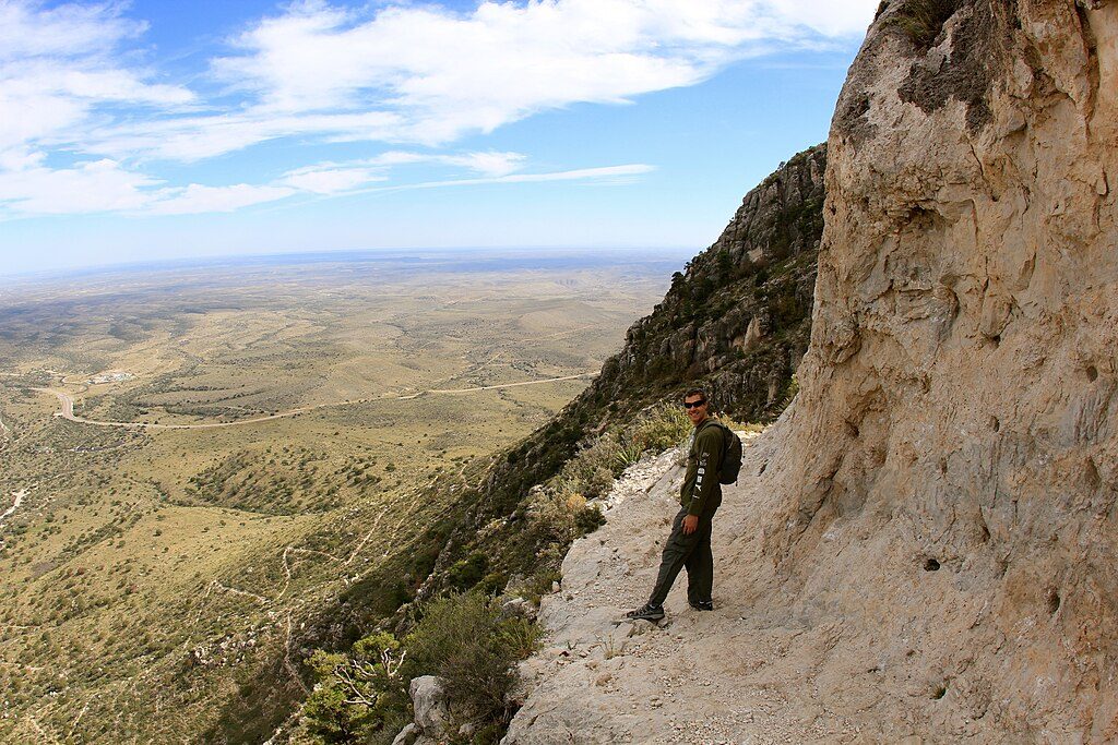
- El Capitan has no official summit trail. For a dramatic vantage from above, the Guadalupe Peak Trail is a strenuous 8+ mile climb with frequent strong winds.
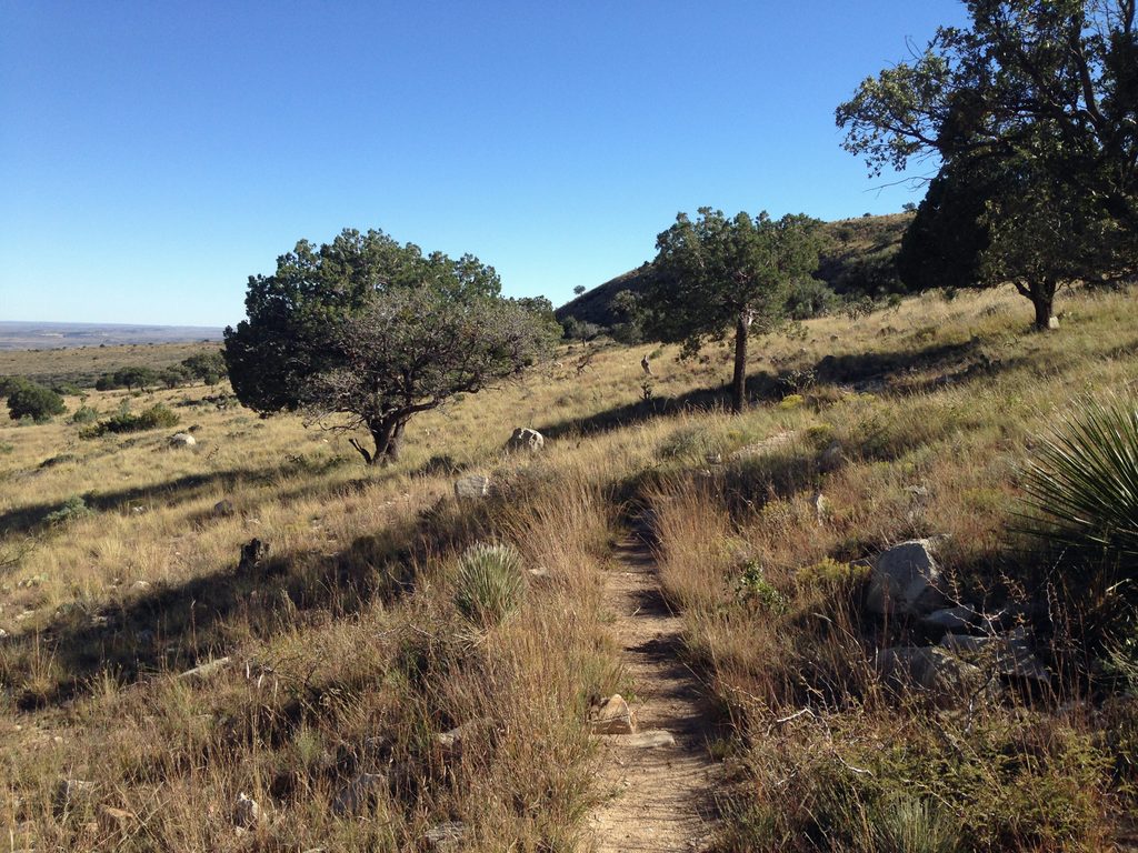
- From Pine Springs, the El Capitan Trail skirts the base for long, photogenic views. It’s rocky and exposed—about 9 miles round‑trip if you turn around after wrapping the back side. A spur to Salt Basin Overlook adds big‑basin scenery.
Photography Tips
- For a cleaner composition without the highway in your shot, use the southbound (west/south of Pine Springs) picnic pullout. A longer lens compresses the ridgelines nicely.