Salt Basin Overlook in Guadalupe Mountains National Park

Sight · Guadalupe Mountains National Park

Salt Basin Overlook

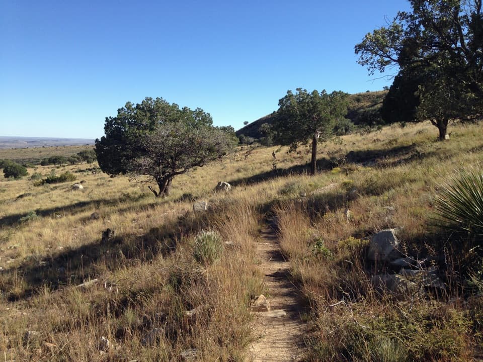
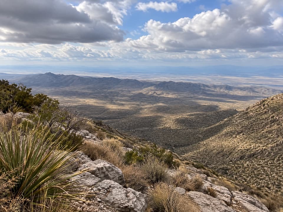
A long, exposed hike ends at a west-facing salt-basin overlook.

Type
Sight
Nearest trail
2.8 mi
Audio stories
2 nearby
  • Scenic viewpoint

Hear the audio tour

El Capitan Viewpoint: A Reef Above the Road

Overview

About Salt Basin Overlook

Why stop

  • A wide westward view across the Salt Basin and distant ridges.

Heads up

  • The overlook takes a long, exposed hike to reach.

Map

Where it is

Loading the Guadalupe Mountains map
Full map
SightSalt Basin Overlook31.86604, -104.85942
Keep this map with you offline in the Parkwolf app

Plan your stop

Before you go

1 active Guadalupe Mountains alert

  • CautionDevil’s Hall wash hazardous when wetDevil’s Hall is a strenuous hike; do not enter the wash when it is wet or water is present. - The wash requires rock scrambling, and its loose gravel and rocks may be unstable.Official details

Guadalupe Mountains alerts
A park ranger sits on a dash-mounted phone, talking, as Parkwolf’s Tour Guide plays “Army Cutworm Moths: A Grizzly Bear Buffet” on Grand Loop Road below Dunraven Pass in Yellowstone
Parkwolf Tour GuideThe highest, rockiest slopes around here are a summer buffet for grizzly bears.

Guadalupe Mountains Tour Guide

Your drive to Salt Basin Overlook, narrated.

Parkwolf is a GPS audio tour guide for Guadalupe Mountains National Park. As you drive, it chimes in with what’s ahead: hidden gems, upcoming stops, history, geology, and wildlife, right through your car’s speakers.

Recorded for this area

El Capitan Viewpoint: A Reef Above the Road
0:00 / 0:27
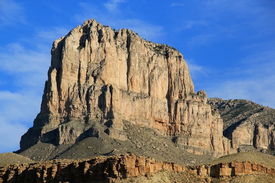
“Up ahead is El Capitan Viewpoint, a quick roadside stop for the sheer limestone face above the desert. Use the signed pullout on your side of the highway.”

Plays on the road 1.2 mi from Salt Basin Overlook in the Parkwolf Guadalupe Mountains Tour Guide.

More stories near here in the app

  • Why Vultures Circle
  • Why an Airline Marked the Summit
  • Mescal and the Mescalero Apache
  • Pine Springs: The Guadalupe Peak Climb
  • 22 audio storiesacross Guadalupe Mountains’s roads, triggered by GPS as you drive
  • Wildlife heatmapsfor Aoudad, Mule Deer, Wild Turkey, and 13 more
  • Works offlinemaps, 32 trails, 34 places, and audio download before you lose signal
  • CarPlay readysimple controls built for the drive
★★★★★
“Fantastic app with many points of information… It’s great to just turn on while you’re driving and it gives you an audio tour of the national Park. We love it!!!!”
JMJamesApp Store review
Download Parkwolf on the App StoreGet Parkwolf on Google Play

4.7 from 8,600+ ratings

Guide

More about Salt Basin Overlook

The western viewSalt Basin Overlook is a bluff-top viewpoint on the west side of the park, reached by a short…

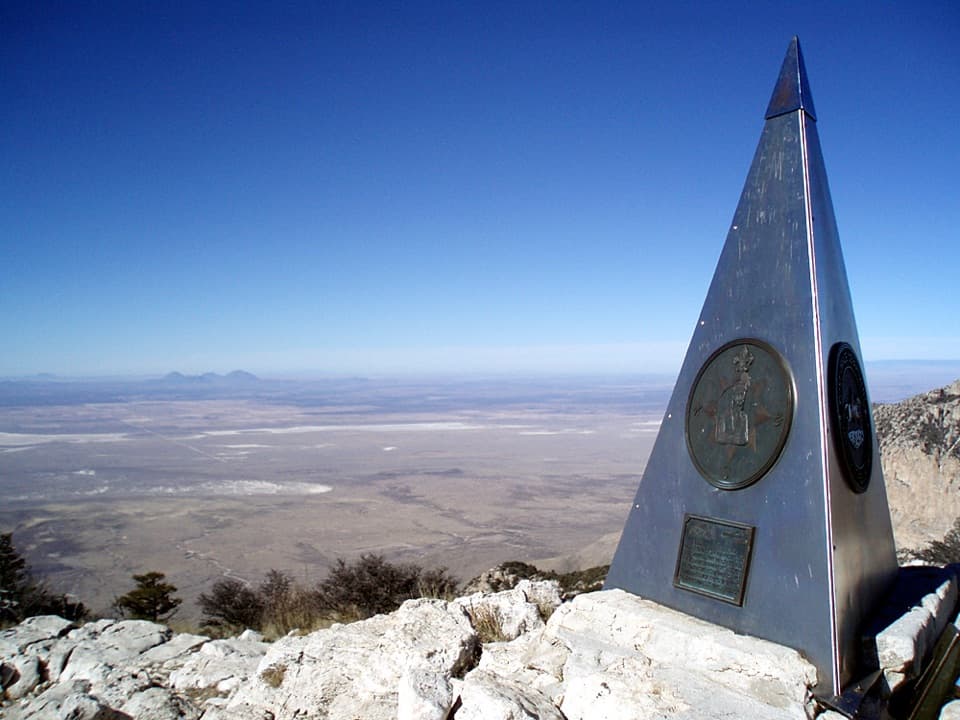
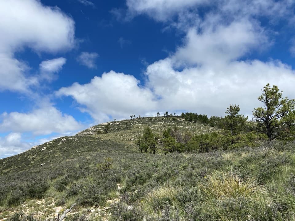
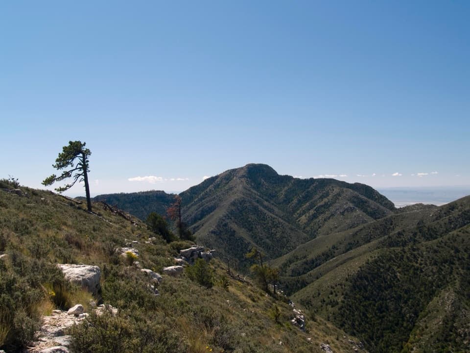
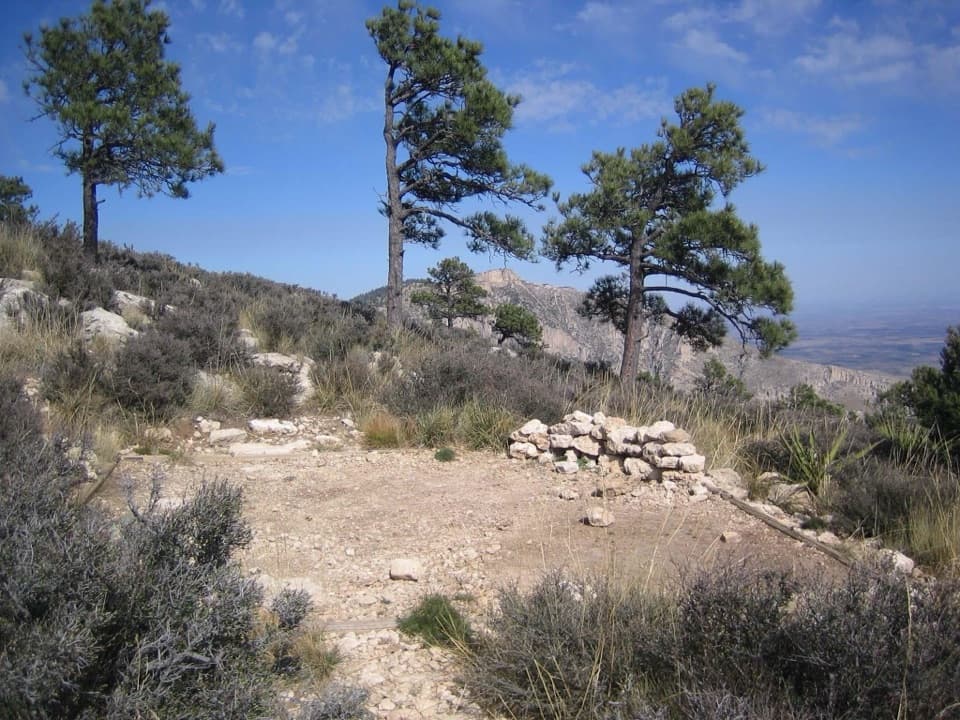
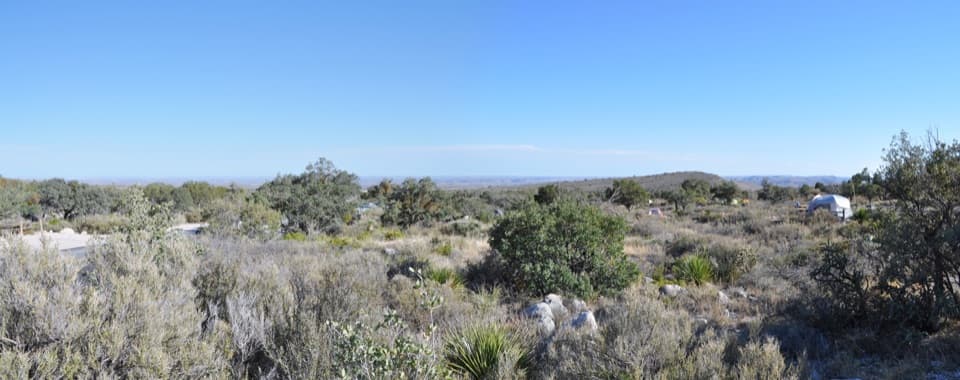
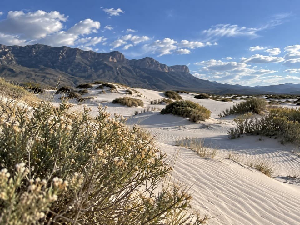
Salt Basin Overlook is a bluff-top viewpoint on the west side of the park, reached by a short spur from the Salt Basin loop. From the ridge, the view opens south and west over the salt flats, with Patterson Hills in the middle distance and the pale gypsum dunes farther northwest. This is a hike-in destination, not the roadside El Capitan pullout. Include some of the rocky bluff in the foreground to show the scale of the basin.

The walk is the commitmentThe overlook spur is short, but getting there is a long outing. The Salt Basin loop runs 3.

The overlook spur is short, but getting there is a long outing. The Salt Basin loop runs 3.6 miles between its junctions on El Capitan Trail, and the full Pine Springs loop is 11.3 miles. Plan for a long, exposed day hike; the bluff has no shade, so heat is part of the effort. One hiker tracked 11.5 miles, a reminder that the exact total can vary with the route you take.

The ancient reefThe escarpment belongs to the Capitan Reef, which formed along a shallow tropical sea about 273…

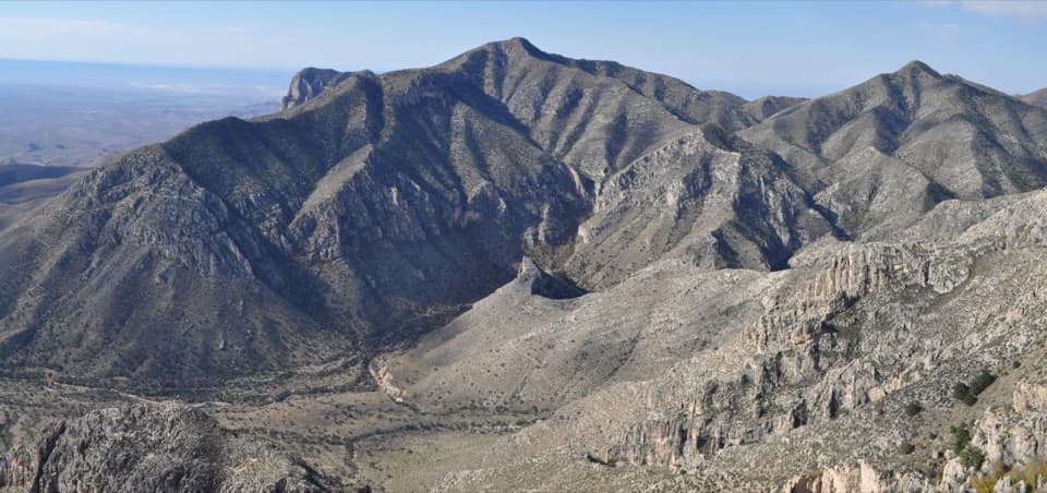
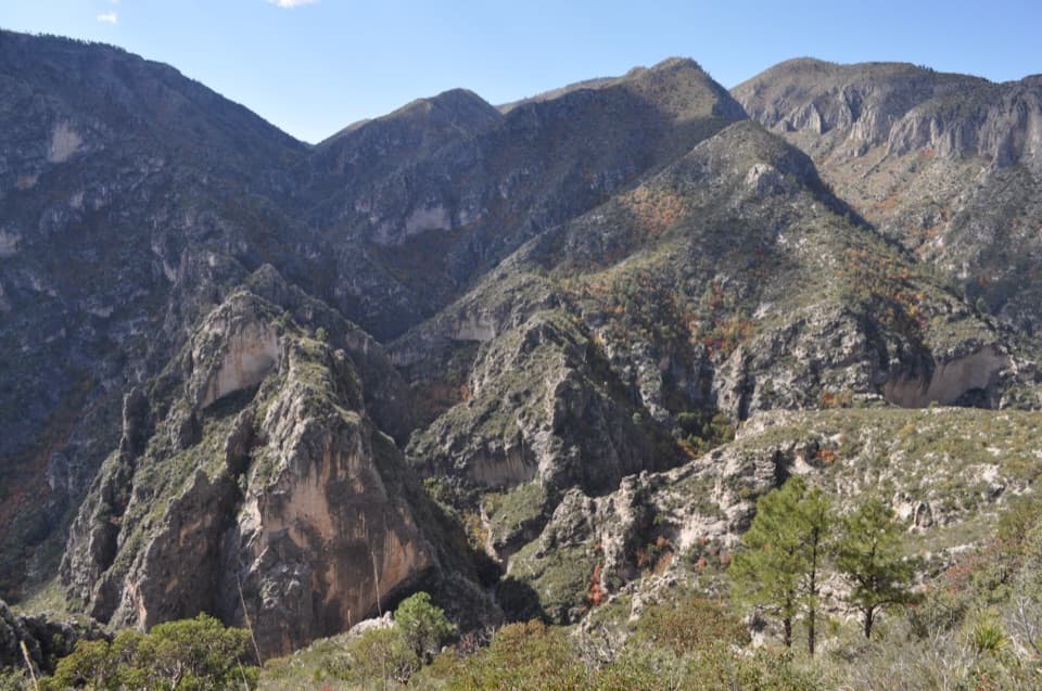
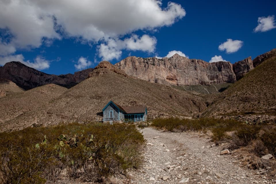
The escarpment belongs to the Capitan Reef, which formed along a shallow tropical sea about 273 million years ago. Algae and microbes built the reef; much later, uplift exposed it as the Guadalupe Mountains. The limestone ridges on the approach preserve fossils from that old marine world.

Wildlife

Wildlife in Guadalupe Mountains

All Guadalupe Mountains wildlife maps

Sighting maps show where each species has been reported across Guadalupe Mountains. Wildlife moves, so no sighting is guaranteed.

Keep exploring

Near Salt Basin Overlook

See it all on the map

Trails nearby

More stops nearby

Parkwolf’s Guadalupe Mountains ranking

Top sights in Guadalupe Mountains

All 34 places
  1. 1Guadalupe PeakSight
  2. 2Salt Basin DunesSight
  3. 3El Capitan ViewpointSight
  4. 4Frijole Ranch MuseumSight
  5. 5Pratt CabinSight
  6. 6The GrottoSight

Take Parkwolf to Guadalupe Mountains.

The audio tour guide for the drive, plus offline maps, trails, and wildlife heatmaps for when the signal drops.

4.7 from 8,600+ ratings

Download Parkwolf on the App StoreGet Parkwolf on Google Play