Bush Mountain–Blue Ridge–Marcus Loop in Guadalupe Mountains National Park

Guadalupe Mountains National Park, TX

Bush Mountain–Blue Ridge–Marcus Loop

A full-day high-country loop with a route-finding sting.

Photo: National Park Service
Length
16.4mi
Time
11hr
Elev. change
1,877ft
Difficulty
Challenging
  • Loop
  • No dogs
  • High point 8,209 ft

Hear the audio tour

Dog Canyon: A Meadow Walk and Wildlife

Overview

About Bush Mountain–Blue Ridge–Marcus Loop

Why go

  • A rare northern circuit linking Bush Mountain, Blue Ridge, and Marcus
  • Forest, open ridge, and western escarpment in one route

Heads up

  • Overgrown tread makes parts hard to follow
  • The route repeats 3.5 miles and takes most of a day

Map & elevation

The route

Loading the Guadalupe Mountains map
Full map
Elevation6,332–8,209 ft
TrailheadDog Canyon Trailhead31.99360, -104.83418
Keep this map with you offline in the Parkwolf app

Plan your hike

Before you go

Parking

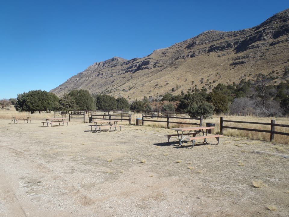
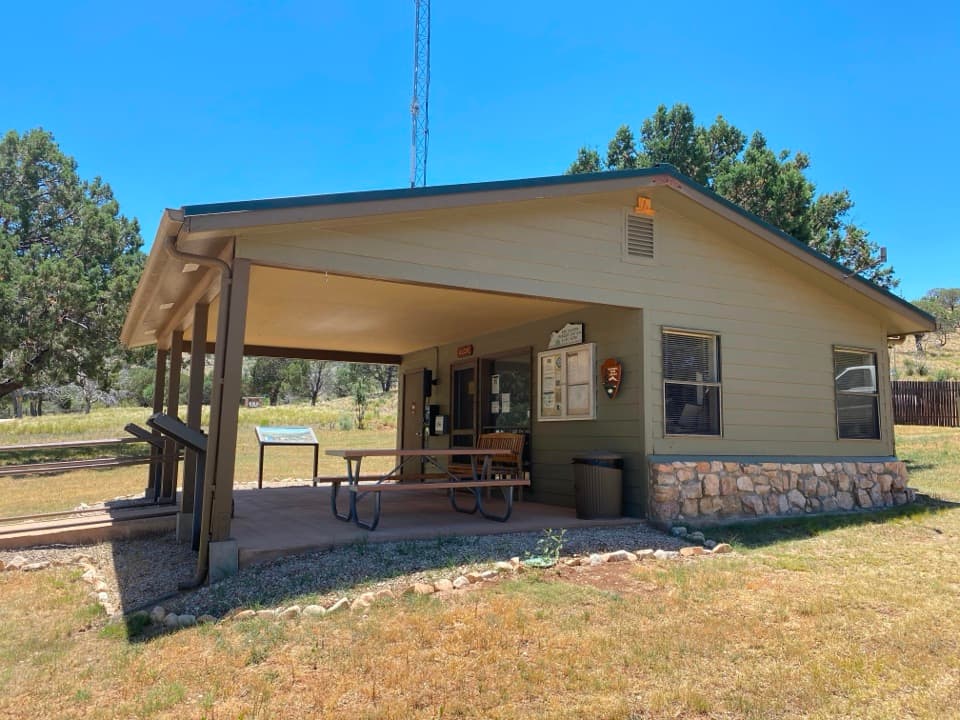
Start and finish at Dog Canyon Trailhead beside the campground and ranger station; use the self-pay station before hiking. From Texas on US 62/180, take Dark Canyon Road (CR 408N) about 27 miles after the New Mexico line, follow it 22 miles to NM 137 north, then continue 35 miles to the Dog Canyon entrance. The access is about 70 road miles from Carlsbad and 110 miles from Pine Springs.


Safety

The northern Bush Mountain section beyond Blue Ridge and the lower Marcus Trail can be difficult to follow when grass covers the tread; cairns mark the route. Carry a paper topographic map and compass and be ready to navigate. There is no water in the backcountry, so carry enough for the full loop after filling at Dog Canyon. Pets are not allowed on Dog Canyon trails.

1 active Guadalupe Mountains alert

  • CautionDevil’s Hall wash dangerous when wetThe Devil’s Hall hike is strenuous, and its wash section is dangerous when wet or if water is present. - The wash requires rock scrambling.Official details
Guadalupe Mountains alerts
A park ranger sits on a dash-mounted phone, talking, as Parkwolf’s Tour Guide plays “Army Cutworm Moths: A Grizzly Bear Buffet” on Grand Loop Road below Dunraven Pass in Yellowstone
Parkwolf Tour GuideThe highest, rockiest slopes around here are a summer buffet for grizzly bears.

Guadalupe Mountains Tour Guide

Your drive to Bush Mountain–Blue Ridge–Marcus Loop, narrated.

Parkwolf is a GPS audio tour guide for Guadalupe Mountains National Park. As you drive, it chimes in with what’s ahead: hidden gems, upcoming stops, history, geology, and wildlife, right through your car’s speakers.

Recorded for this area

Dog Canyon: A Meadow Walk and Wildlife
0:00 / 0:35
“Dog Canyon is ahead, a wooded base for exploring the park's northern side.”

Plays on the road 0.3 mi from the trailhead in the Parkwolf Guadalupe Mountains Tour Guide.

More stories near here in the app

  • McKittrick Canyon: A Walk to Pratt Cabin
  • The Madrone’s Peeling Trunk
  • 22 audio storiesacross Guadalupe Mountains’s roads, triggered by GPS as you drive
  • Wildlife heatmapsfor Aoudad, Mule Deer, Wild Turkey, and 13 more
  • Works offlinemaps, 32 trails, 34 places, and audio download before you lose signal
  • CarPlay readysimple controls built for the drive
★★★★★
“Fantastic app with many points of information… It’s great to just turn on while you’re driving and it gives you an audio tour of the national Park. We love it!!!!”
JMJamesApp Store review
Download Parkwolf on the App StoreGet Parkwolf on Google Play

4.7 from 8,600+ ratings

Trail guide

Hiking Bush Mountain–Blue Ridge–Marcus Loop

A full-day northern loopBush Mountain–Blue Ridge–Marcus is a 16.

Bush Mountain–Blue Ridge–Marcus is a 16.4-mile loop from Dog Canyon into the park’s northern high country and back. Follow Bush Mountain Trail to the Blue Ridge junction, cross Blue Ridge to Marcus, then take Marcus Trail back to Bush Mountain and return to Dog Canyon. The route repeats the last 3.5 miles of Bush Mountain, so the mileage counts a shared approach and return. Allow about 10–12 hours; this is a hard day for hikers who are comfortable navigating remote trails.

Keep the mileage and route straightThe park’s segment distances add to 16.4 miles for this itinerary. A separate 17.

The park’s segment distances add to 16.4 miles for this itinerary. A separate 17.4-mile figure is also published, but its exact line could not be checked; use the route described here rather than extending it to an uncertain variant. The route reaches the western escarpment and follows Blue Ridge east to the Marcus junction before climbing back toward Bush Mountain.

Where the tread fadesThe northern Bush Mountain section beyond Blue Ridge and the lower Marcus Trail in West Dog…

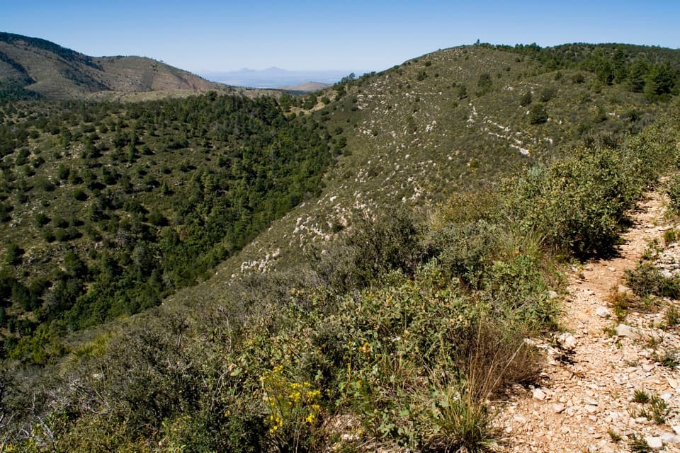
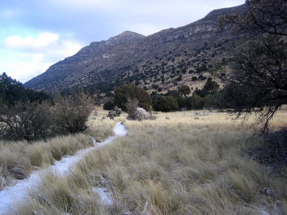
The northern Bush Mountain section beyond Blue Ridge and the lower Marcus Trail in West Dog Canyon are infrequently traveled. Grass can hide the tread; cairns mark the way, but this is not a place to follow faint tracks without knowing your position. Bring a paper topographic map and compass and be comfortable using them. The park’s general maps are for orientation, not detailed wilderness navigation.

Forest, grassland, and the escarpmentDog Canyon begins in a sheltered, forested canyon around 6,300 feet.

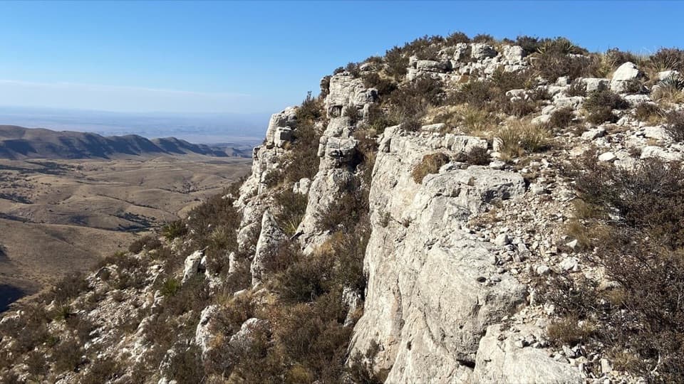
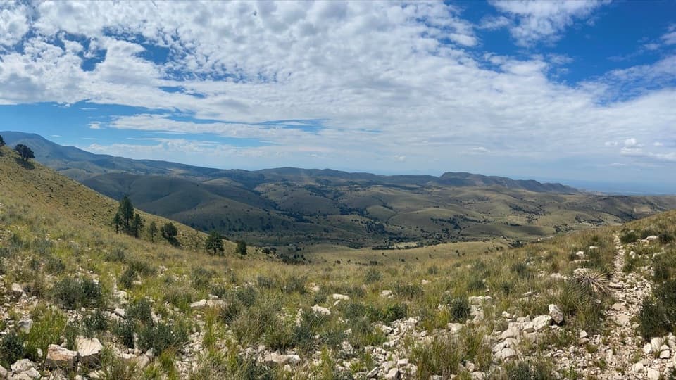
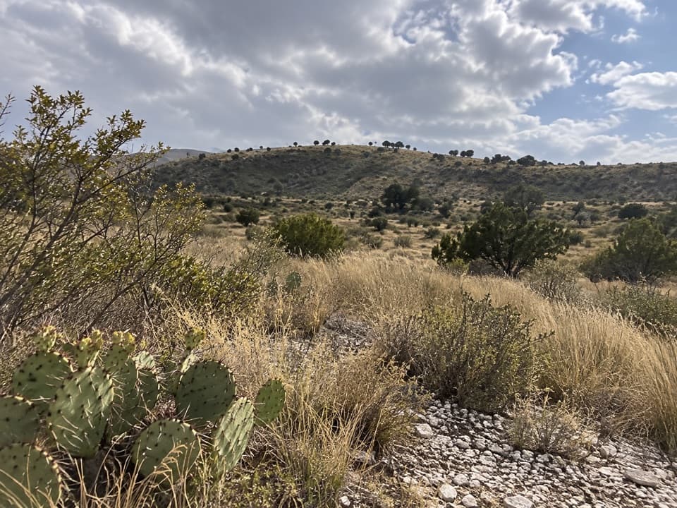
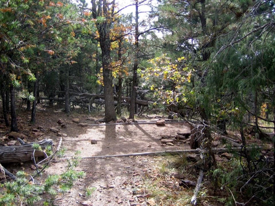
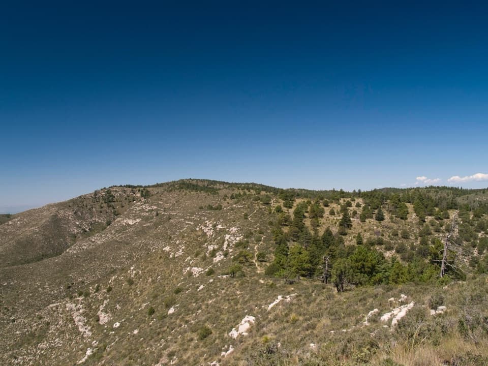
Dog Canyon begins in a sheltered, forested canyon around 6,300 feet. From there the route climbs into the high country, crossing open grassy sections and reaching the western edge of the escarpment, where Blue Ridge meets Bush Mountain in a meadow. The route ranges to roughly 8,200 feet, and open ridge tops can be windy. The pale limestone cliffs are part of the ancient Permian reef that formed this mountain range about 265 million years ago.

Water, access, and rulesDog Canyon is remote—about 70 road miles from Carlsbad and 110 miles from Pine Springs.

Dog Canyon is remote—about 70 road miles from Carlsbad and 110 miles from Pine Springs. Top up at the ranger station or campground before setting out: there are no water sources in the backcountry. Pets are not allowed on Dog Canyon trails. A day hike needs no wilderness camping permit; an overnight in the backcountry does.

A shorter optionFor the same starting area without committing to the loop, the Bush Mountain Trail out-and-back…

For the same starting area without committing to the loop, the Bush Mountain Trail out-and-back to Marcus Overlook is 5.2 miles round trip, with about 825 feet of elevation change and a 3–5 hour estimate. It reaches the overlook but does not cross Blue Ridge or follow the Marcus Trail loop.

Wildlife

Wildlife in Guadalupe Mountains

All Guadalupe Mountains wildlife maps

Sighting maps show where each species has been reported across Guadalupe Mountains. Wildlife moves, so no sighting is guaranteed.

Keep exploring

Near Bush Mountain–Blue Ridge–Marcus Loop

See it all on the map

Trails that start nearby

Places near the trailhead

Parkwolf’s Guadalupe Mountains ranking

Top-rated trails in Guadalupe Mountains

All 32 trails
  1. 1Guadalupe Peak TrailChallenging · 8.4 mi
  2. 2The Grotto and Hunter Line ShackModerate · 7 mi
  3. 3McKittrick Canyon Trail to The NotchChallenging · 9 mi
  4. 4Hunter Peak LoopChallenging · 8.7 mi
  5. 5Devil's Hall TrailChallenging · 4.2 mi
  6. 6Smith Spring Trail LoopModerate · 2.3 mi

Take Parkwolf to Guadalupe Mountains.

The audio tour guide for the drive, plus offline maps, trails, and wildlife heatmaps for when the signal drops.

4.7 from 8,600+ ratings

Download Parkwolf on the App StoreGet Parkwolf on Google Play