Parking
Start at Dog Canyon Trailhead in the park’s northern district. The route begins in the trailhead area, which has parking for cars and buses/RVs.
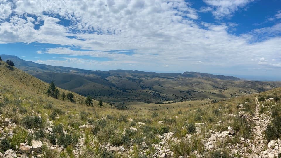
Guadalupe Mountains National Park, TX
A rocky high-country hike to broad southern and western views.
Overview
Map & elevation
Plan your hike

The highest, rockiest slopes around here are a summer buffet for grizzly bears.
Guadalupe Mountains Tour Guide
Parkwolf is a GPS audio tour guide for Guadalupe Mountains National Park. As you drive, it chimes in with what’s ahead: hidden gems, upcoming stops, history, geology, and wildlife, right through your car’s speakers.
Recorded for this trailhead
Dog Canyon: A Meadow Walk and Wildlife“Dog Canyon is ahead, a wooded base for exploring the park's northern side.”
Plays as you drive up to this trailhead in the Parkwolf Guadalupe Mountains Tour Guide.
More stories near here in the app
“Fantastic app with many points of information… It’s great to just turn on while you’re driving and it gives you an audio tour of the national Park. We love it!!!!”


Trail guide
Marcus Overlook is a 5.2-mile round-trip out-and-back from Dog Canyon Trailhead, following the established approach onto Bush Mountain Trail to a hitching-post viewpoint. The overlook is 2.6 miles each way; allow three to five hours, with about four hours a realistic outing. It’s a satisfying moderate hike when you want a real climb in the park’s quieter northern district. Turn around at the post: the trail drops rapidly beyond it.
The route gains about 825 feet on a narrow, rocky tread. The trail varies from two to six feet wide, with loose or hardened rock underfoot; trekking poles are recommended. There’s little to no shade, so summer heat can make this a poor or unsafe choice. Winter, spring and fall are better seasons, though strong winds are expected from November through March.
The view opens south into the Guadalupe Mountains and west across a broad valley and distant ridges. Give the overlook a few minutes before heading back. For a photo, include some of the rocky foreground so the valley’s depth shows. Dog Canyon Trailhead has parking and potable water; no food service is listed at the trailhead or along the route. Day hikers don’t need a reservation, and pets aren’t allowed on park trails.
Wildlife
 33 sightingsAoudadMost seen around 6 AMSighting map
 162 sightingsMule DeerMost seen around 6 AMSighting map
 11 sightingsWild TurkeyMost seen around 7 AMSighting map
 34 sightingsCollared PeccaryMost seen around 7 AMSighting map
 37 sightingsDiamondback RattlesnakeMost seen around 6 PMSighting map
 42 sightingsBlack-tailed RattlesnakeMost seen around 7 PMSighting map
Sighting maps show where each species has been reported across Guadalupe Mountains. Wildlife moves, so no sighting is guaranteed.
Keep exploring
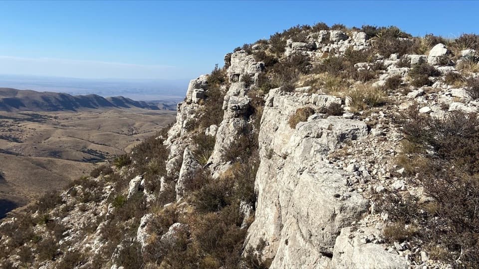 ModerateLost Peak Saddle6.4 mi · 4.5 hr · At the trailheadWest and south views, with no trail to Lost Peak's summit.
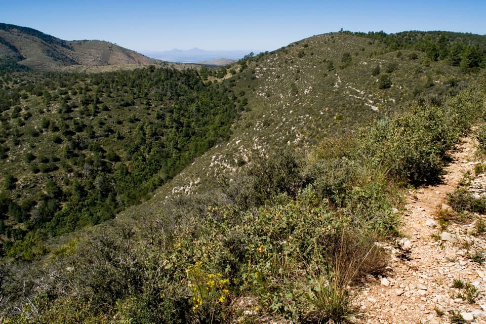 ChallengingMcKittrick Ridge from Dog Canyon14.8 mi · 10 hr · At the trailheadA 14.8-mile out-and-back to open views from McKittrick Ridge.ChallengingLost Peak–Marcus Loop13.4 mi · 7.5 hr · At the trailheadA big northern loop, where Lost Peak gives way to grassland.
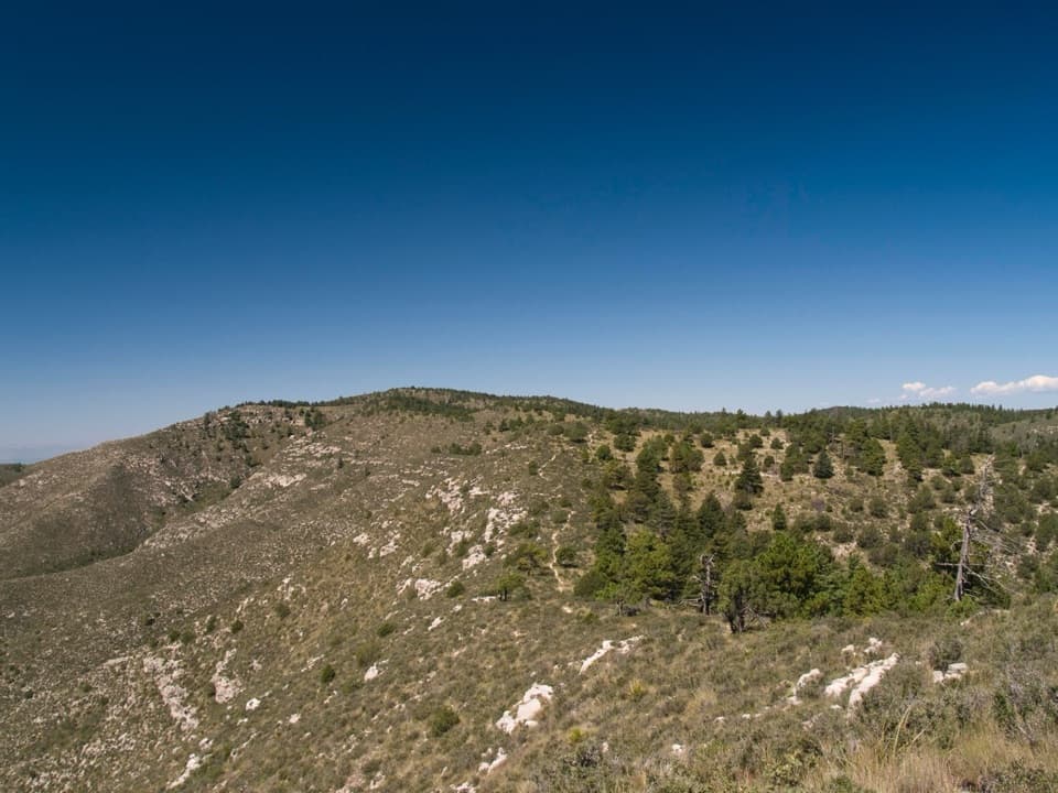 ChallengingBush Mountain–Blue Ridge–Marcus Loop16.4 mi · 11 hr · At the trailheadA full-day high-country loop with a route-finding sting.
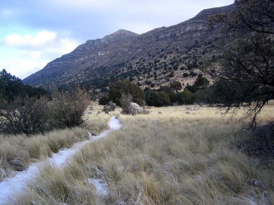 EasyIndian Meadow Nature Trail0.8 mi · 38 min · 0.1 mi awayA short nature loop through Dog Canyon's varied habitats.
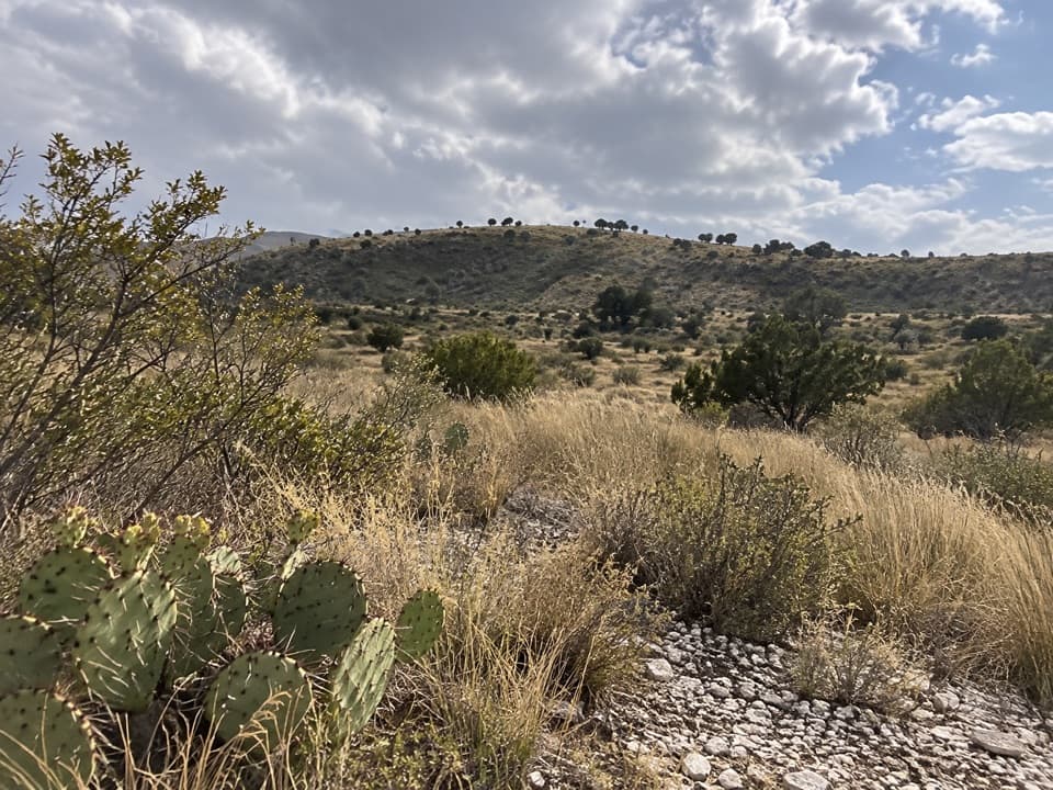 ChallengingManzanita Ridge Route1.4 mi · 1.5 hr · 2.1 mi awayA faint ridge connector from Tejas to Bush Mountain.
 ModerateThe Grotto and Hunter Line Shack7 mi · 4 hr · 4.9 mi awayA seven-mile canyon walk to shaded stone seats and ranch history.
 ChallengingMcKittrick Canyon Trail to The Notch9 mi · 6 hr · 4.9 mi awayGentle canyon miles lead to a steep, rocky climb to the Notch.
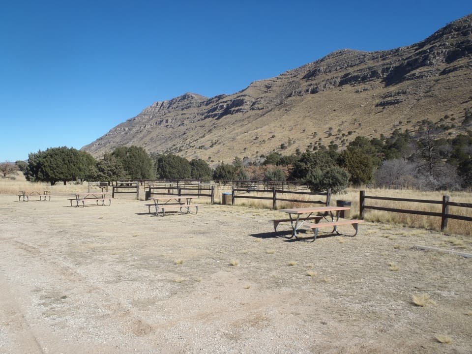 Campground · 0.1 mi awayDog Canyon CampgroundA quiet northern base for hikes into the park's high country.
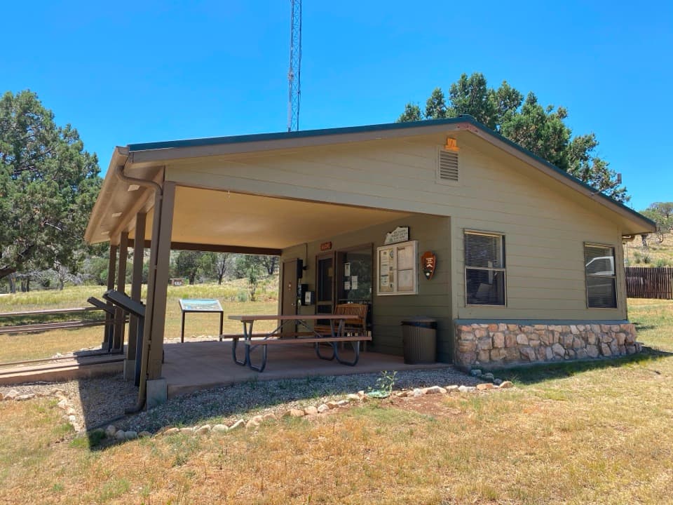 Visitor center · 0.2 mi awayDog Canyon Ranger StationA practical stop in the park’s remote northern district.
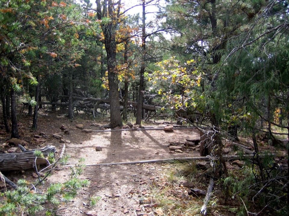 Campground · 2 mi awayMcKittrick Ridge Wilderness CampgroundEight remote tent sites on the ridge, reached by a steep backpack.
 Sight · 2.1 mi awayLost PeakA rocky summit with broad western views and an unmarked final approach.
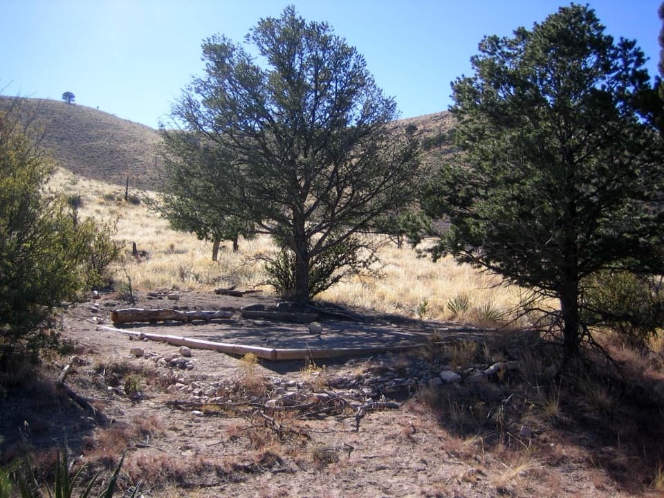 Campground · 2.7 mi awayMarcus Wilderness CampgroundFive tent sites, 3.7 miles on foot from Dog Canyon.
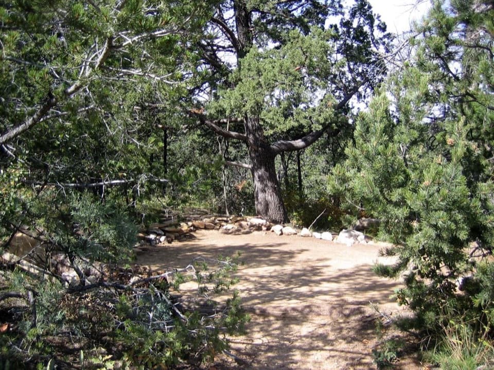 Campground · 3 mi awayMescalero Wilderness CampgroundAn eight-site, walk-in tent camp on the Tejas Trail.Sight · 3.1 mi awayThe GrottoA shady cave-like picnic stop halfway up McKittrick Canyon.
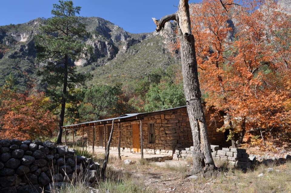 Sight · 3.1 mi awayHunter Line ShackA stone ranching shack at the end of a 7-mile round trip.
Parkwolf’s Guadalupe Mountains ranking

The audio tour guide for the drive, plus offline maps, trails, and wildlife heatmaps for when the signal drops.



