1 active Guadalupe Mountains alert
- CautionDevil’s Hall wash dangerous when wetThe Devil’s Hall hike is strenuous, and its wash section is dangerous when wet or if water is present. - The wash requires rock scrambling.Official details
Campground · Guadalupe Mountains National Park
A quiet northern base for hikes into the park's high country.
Overview
Map
Plan your stop

The highest, rockiest slopes around here are a summer buffet for grizzly bears.
Guadalupe Mountains Tour Guide
Parkwolf is a GPS audio tour guide for Guadalupe Mountains National Park. As you drive, it chimes in with what’s ahead: hidden gems, upcoming stops, history, geology, and wildlife, right through your car’s speakers.
Recorded for this place
Dog Canyon: A Meadow Walk and Wildlife“Dog Canyon is ahead, a wooded base for exploring the park's northern side.”
Plays as you drive up to Dog Canyon Campground in the Parkwolf Guadalupe Mountains Tour Guide.
More stories near here in the app
“Fantastic app with many points of information… It’s great to just turn on while you’re driving and it gives you an audio tour of the national Park. We love it!!!!”


Guide
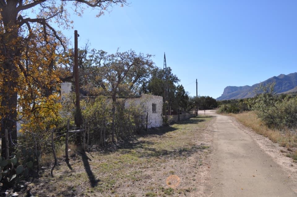
Dog Canyon Campground is a developed campground tucked into a wooded, cliff-sided canyon at the park’s northern end, about 6,300 feet up. I’d choose it for a quiet base near the high-country trails, but plan for a long drive: it’s about 70 miles from Carlsbad and roughly 110 miles, or two hours, from Pine Springs. NM-137 ends at the campground. There’s no cell service, food service, or camp store, so arrive with supplies and offline directions.
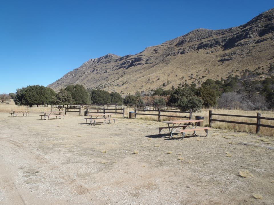
The grounds include walk-in tent pads, gravel RV spaces, a group site, picnic tables, and horse corrals. Tent pads are 61–178 feet from parking, so expect to carry your gear. RV parking accommodates vehicles up to 23 feet. The campground is open year-round.
Potable water and year-round flush toilets are available; there are no showers, hookups, dump station, or store. Fires are prohibited; cooking is limited to contained-fuel stoves. Dogs can be on leash in camp but aren’t allowed on the park’s trails.
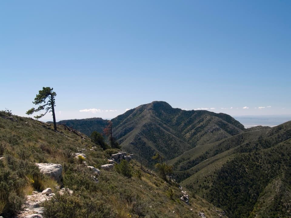
Dog Canyon is a good base for northern trails. The Tejas Trail crosses the park’s high country to Pine Springs, 11.8 miles one way. Lost Peak is a strenuous 6.4-mile round trip with 1,500 feet of gain; Marcus Overlook is a moderate 4.5-mile round trip with 800 feet of gain. These are substantial outings, not short campground strolls.
The wooded canyon has alligator juniper, oak, maple, Texas madrone, and pine; open ground gives way to grasses, prickly pear, agave, and cholla. Mule deer are commonly seen, and western scrub jays, acorn woodpeckers, and hummingbirds frequent the area.
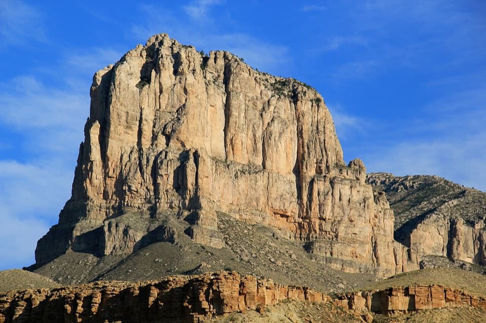
The canyon’s limestone and sandstone layers formed in shallow marine water behind the Capitan Reef during the Permian. Later faulting and erosion cut the canyon into the reef country, leaving steep walls above the campground.
Wildlife
 33 sightingsAoudadMost seen around 6 AMSighting map
 162 sightingsMule DeerMost seen around 6 AMSighting map
 11 sightingsWild TurkeyMost seen around 7 AMSighting map
 34 sightingsCollared PeccaryMost seen around 7 AMSighting map
 37 sightingsDiamondback RattlesnakeMost seen around 6 PMSighting map
 42 sightingsBlack-tailed RattlesnakeMost seen around 7 PMSighting map
Sighting maps show where each species has been reported across Guadalupe Mountains. Wildlife moves, so no sighting is guaranteed.
Keep exploring
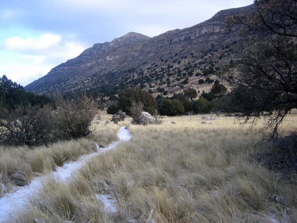 EasyIndian Meadow Nature Trail0.8 mi · 38 min · At the trailheadA short nature loop through Dog Canyon's varied habitats.
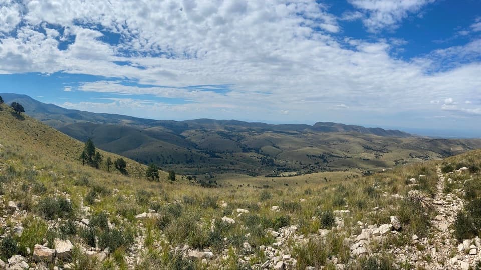 ModerateMarcus Overlook5.2 mi · 4 hr · 0.1 mi awayA rocky high-country hike to broad southern and western views.
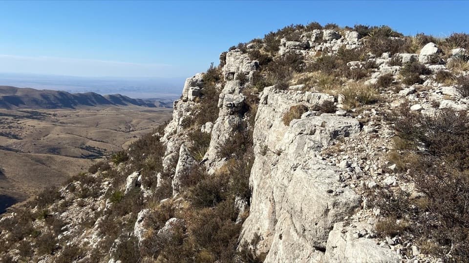 ModerateLost Peak Saddle6.4 mi · 4.5 hr · 0.1 mi awayWest and south views, with no trail to Lost Peak's summit.
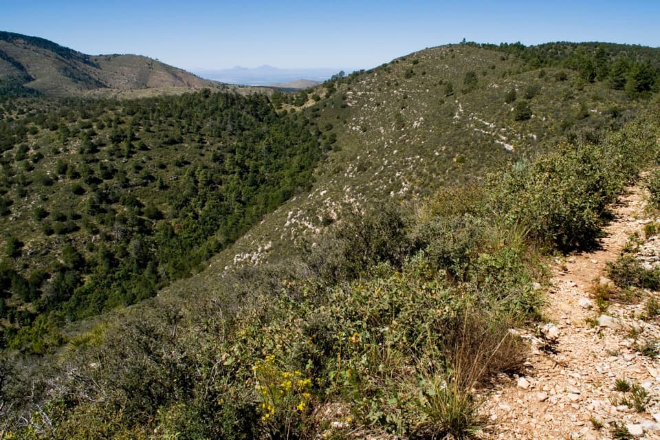 ChallengingMcKittrick Ridge from Dog Canyon14.8 mi · 10 hr · 0.1 mi awayA 14.8-mile out-and-back to open views from McKittrick Ridge.ChallengingLost Peak–Marcus Loop13.4 mi · 7.5 hr · 0.1 mi awayA big northern loop, where Lost Peak gives way to grassland.
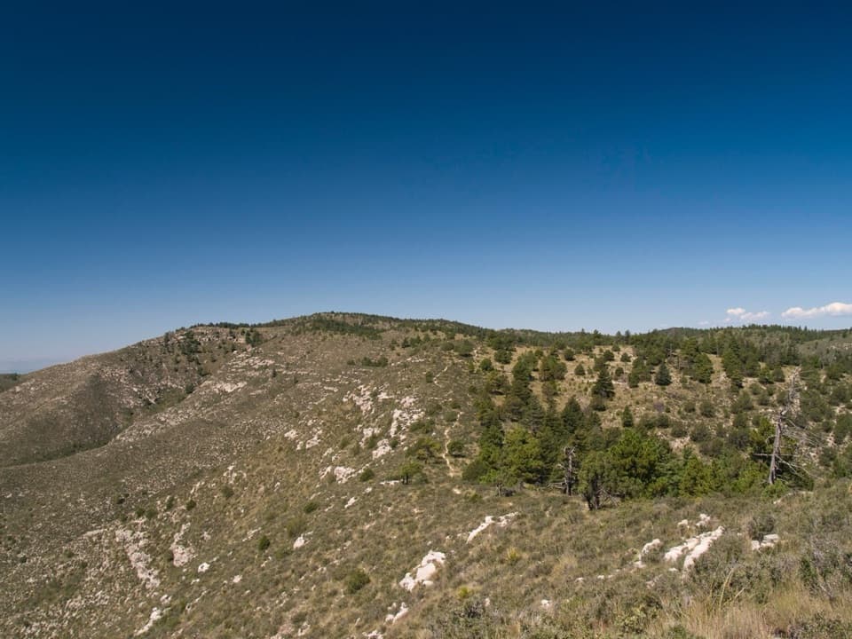 ChallengingBush Mountain–Blue Ridge–Marcus Loop16.4 mi · 11 hr · 0.1 mi awayA full-day high-country loop with a route-finding sting.
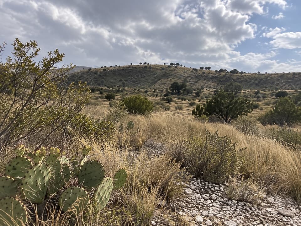 ChallengingManzanita Ridge Route1.4 mi · 1.5 hr · 2.2 mi awayA faint ridge connector from Tejas to Bush Mountain.
 ModerateThe Grotto and Hunter Line Shack7 mi · 4 hr · 4.9 mi awayA seven-mile canyon walk to shaded stone seats and ranch history.
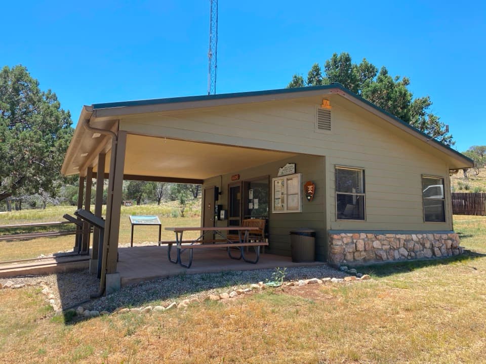 Visitor center · 0.1 mi awayDog Canyon Ranger StationA practical stop in the park’s remote northern district.
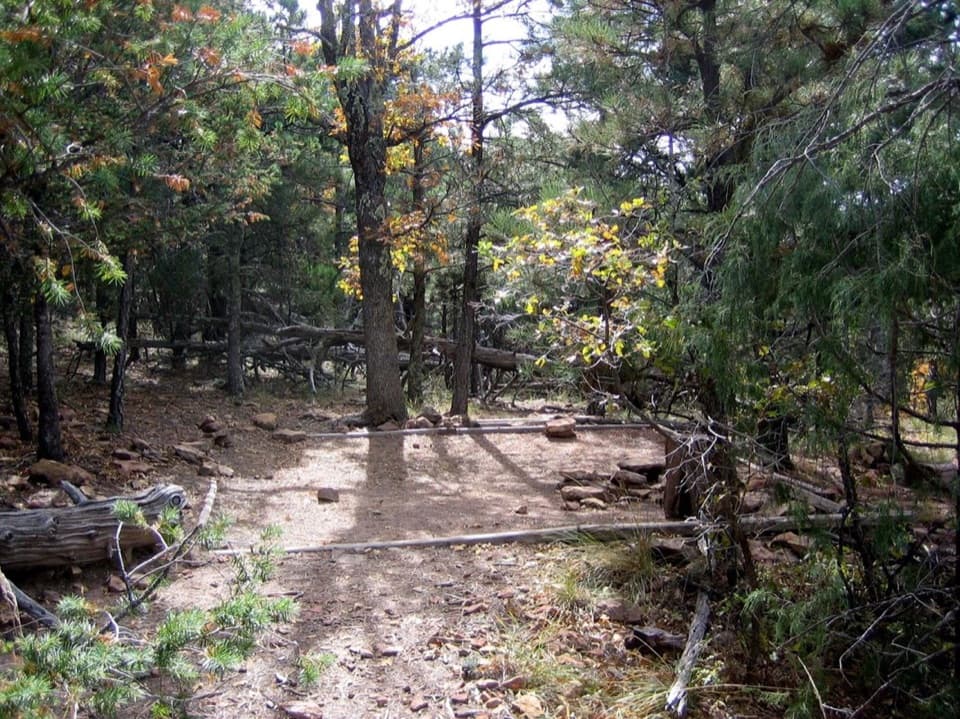 Campground · 2 mi awayMcKittrick Ridge Wilderness CampgroundEight remote tent sites on the ridge, reached by a steep backpack.
 Sight · 2.2 mi awayLost PeakA rocky summit with broad western views and an unmarked final approach.
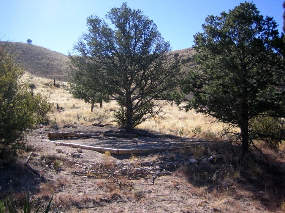 Campground · 2.8 mi awayMarcus Wilderness CampgroundFive tent sites, 3.7 miles on foot from Dog Canyon.
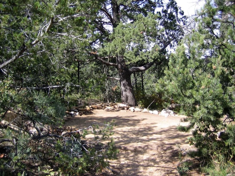 Campground · 3.1 mi awayMescalero Wilderness CampgroundAn eight-site, walk-in tent camp on the Tejas Trail.Sight · 3.1 mi awayThe GrottoA shady cave-like picnic stop halfway up McKittrick Canyon.
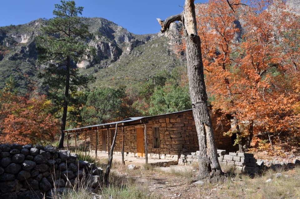 Sight · 3.1 mi awayHunter Line ShackA stone ranching shack at the end of a 7-mile round trip.
 Sight · 3.2 mi awayThe NotchA tough hike reaches the ridge's window into South McKittrick Canyon.
Parkwolf’s Guadalupe Mountains ranking

The audio tour guide for the drive, plus offline maps, trails, and wildlife heatmaps for when the signal drops.