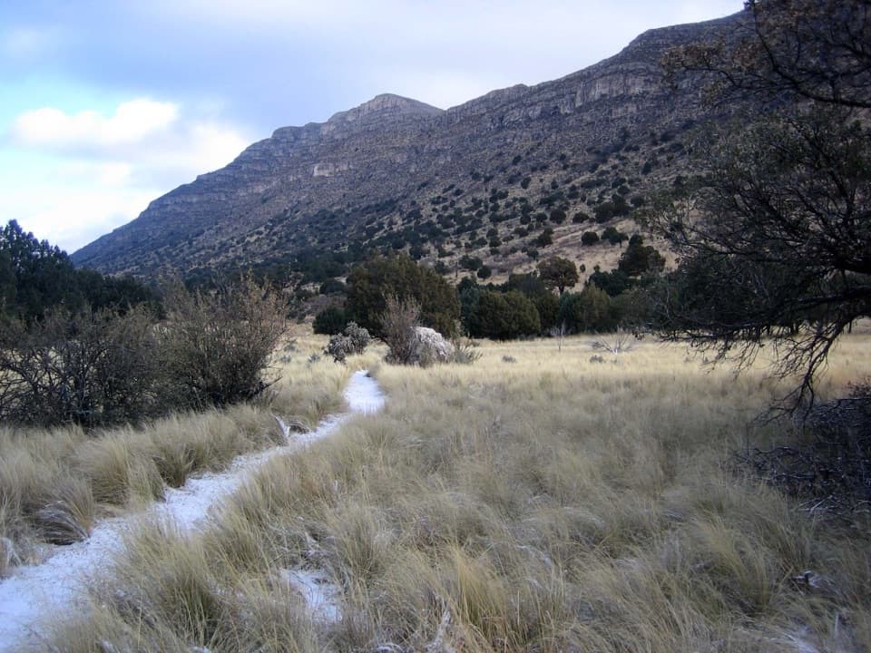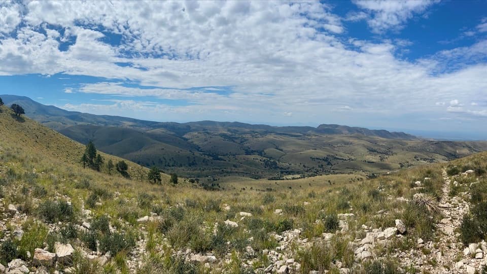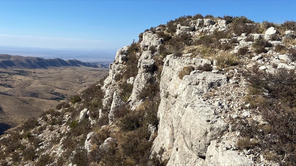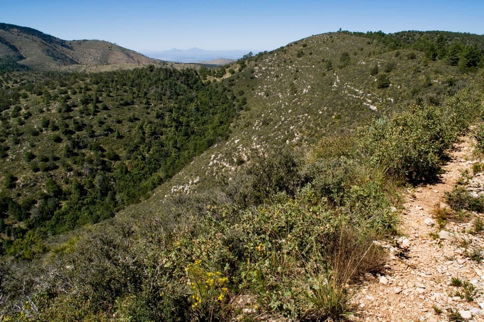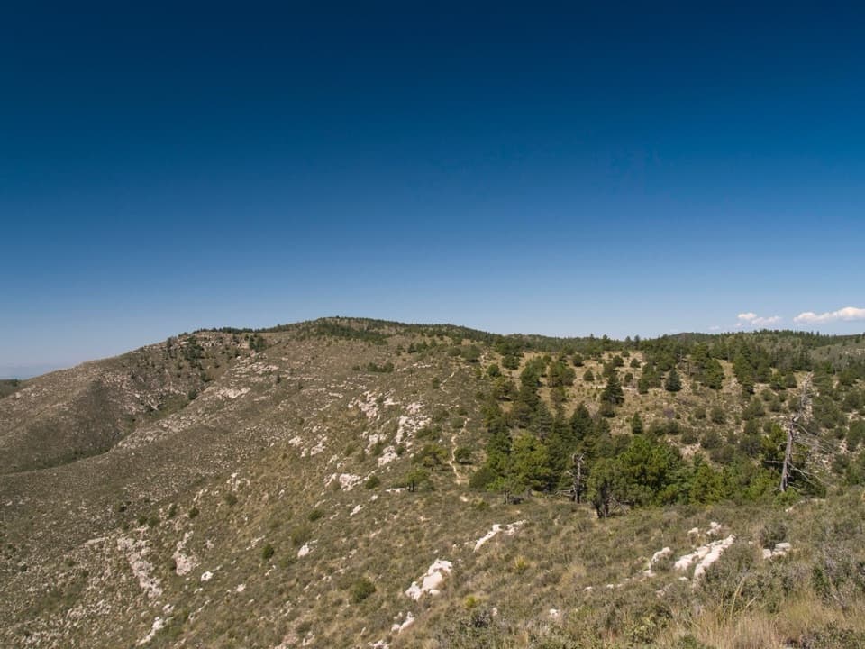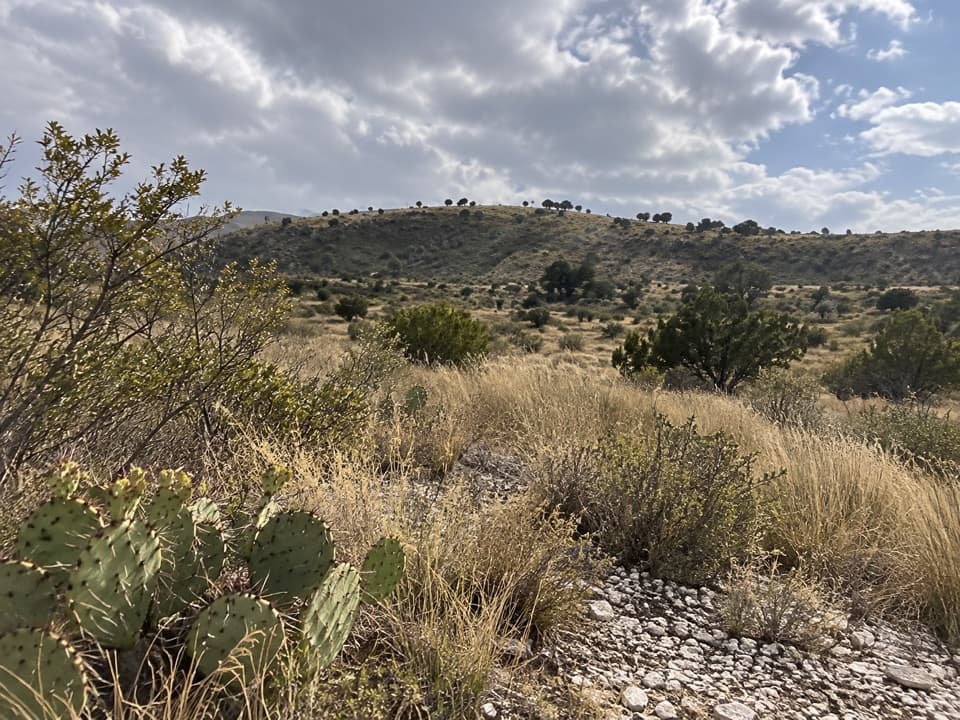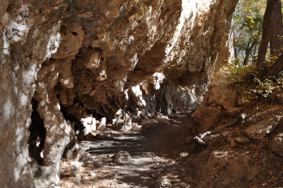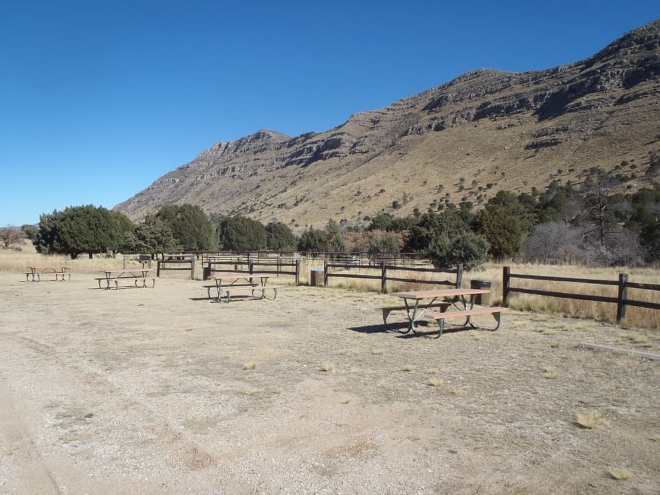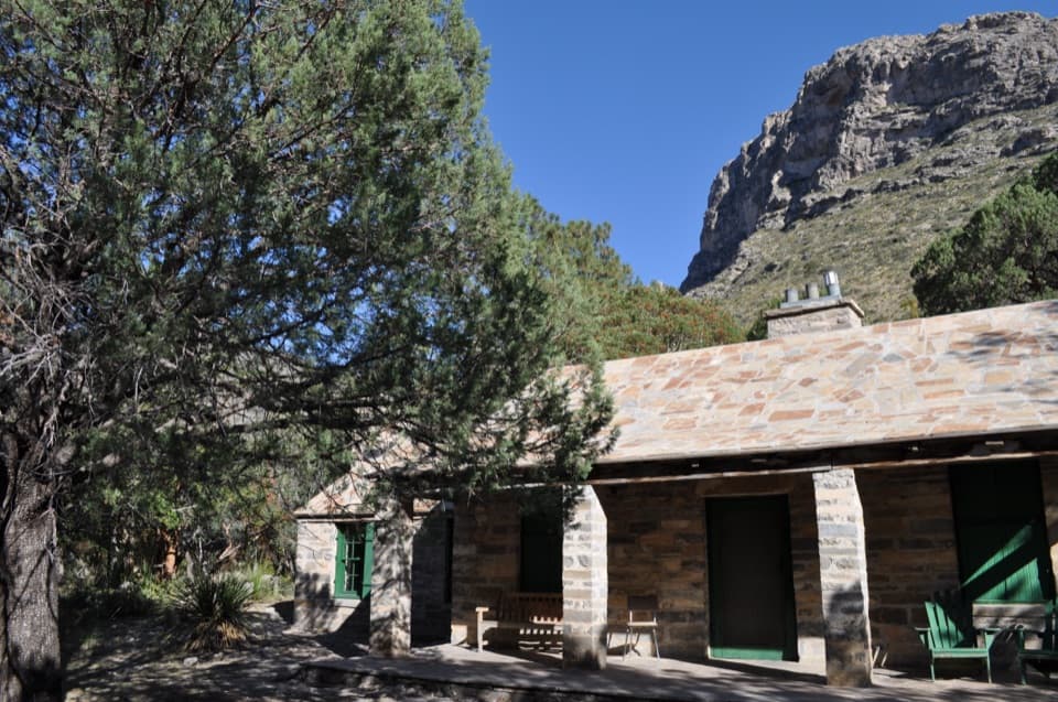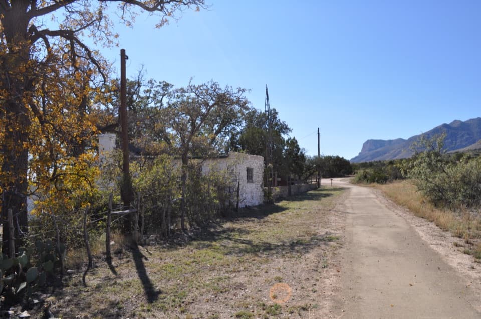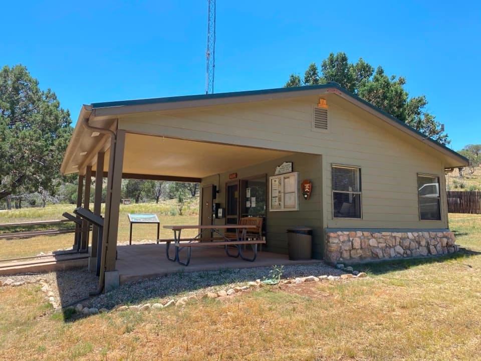
Dog Canyon Ranger Station in Guadalupe Mountains National Park

Visitor center · Guadalupe Mountains National Park

Dog Canyon Ranger Station

A practical stop in the park’s remote northern district.

Photo: National Park Service
Type
Visitor center
Nearest trail
0.1 mi
Audio stories
1 nearby
  • Restrooms
  • Parking
  • Picnic tables
  • Exhibit

Hear the audio tour

Dog Canyon: A Meadow Walk and Wildlife

Overview

About Dog Canyon Ranger Station

Why stop

  • A useful orientation stop beside the north-side trail network.

Heads up

  • Ranger staffing is intermittent, so maps and in-person help aren’t guaranteed.

Map

Where it is

Loading the Guadalupe Mountains map
Full map
Visitor centerDog Canyon Ranger Station31.99631, -104.83342
Keep this map with you offline in the Parkwolf app

Plan your stop

Before you go

1 active Guadalupe Mountains alert

  • CautionDevil’s Hall wash hazardous when wetDevil’s Hall is a strenuous hike; do not enter the wash when it is wet or water is present. - The wash requires rock scrambling, and its loose gravel and rocks may be unstable.Official details

Guadalupe Mountains alerts
A park ranger sits on a dash-mounted phone, talking, as Parkwolf’s Tour Guide plays “Army Cutworm Moths: A Grizzly Bear Buffet” on Grand Loop Road below Dunraven Pass in Yellowstone
Parkwolf Tour GuideThe highest, rockiest slopes around here are a summer buffet for grizzly bears.

Guadalupe Mountains Tour Guide

Your drive to Dog Canyon Ranger Station, narrated.

Parkwolf is a GPS audio tour guide for Guadalupe Mountains National Park. As you drive, it chimes in with what’s ahead: hidden gems, upcoming stops, history, geology, and wildlife, right through your car’s speakers.

Recorded for this place

Dog Canyon: A Meadow Walk and Wildlife
0:00 / 0:35
“Dog Canyon is ahead, a wooded base for exploring the park's northern side.”

Plays as you drive up to Dog Canyon Ranger Station in the Parkwolf Guadalupe Mountains Tour Guide.

More stories near here in the app

  • McKittrick Canyon: A Walk to Pratt Cabin
  • The Madrone’s Peeling Trunk
  • 22 audio storiesacross Guadalupe Mountains’s roads, triggered by GPS as you drive
  • Wildlife heatmapsfor Aoudad, Mule Deer, Wild Turkey, and 13 more
  • Works offlinemaps, 32 trails, 34 places, and audio download before you lose signal
  • CarPlay readysimple controls built for the drive
★★★★★
“Fantastic app with many points of information… It’s great to just turn on while you’re driving and it gives you an audio tour of the national Park. We love it!!!!”
JMJamesApp Store review
Download Parkwolf on the App StoreGet Parkwolf on Google Play

4.7 from 8,600+ ratings

Guide

More about Dog Canyon Ranger Station

A practical north-side stopDog Canyon Ranger Station is a small visitor-information stop for the park’s remote northern…

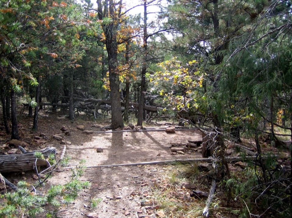
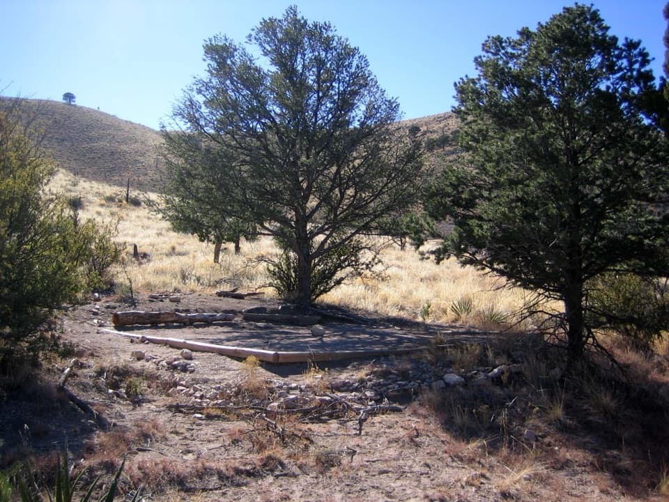
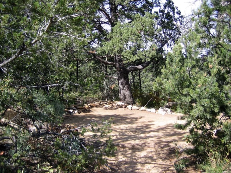
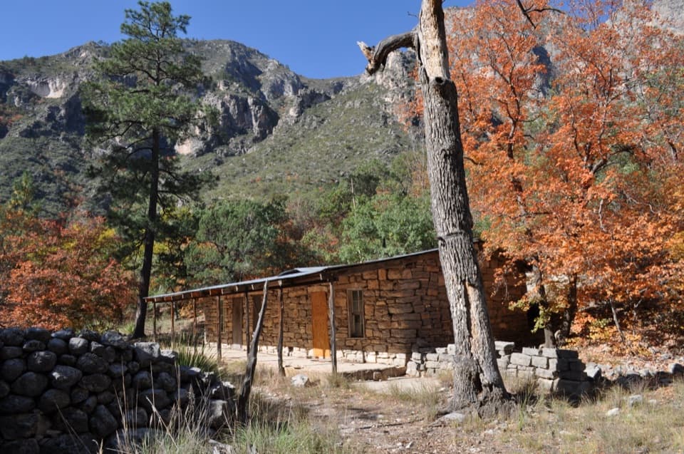
Dog Canyon Ranger Station is a small visitor-information stop for the park’s remote northern district, tucked into a forested canyon at about 6,300 feet. It makes the most sense as part of a Dog Canyon visit: there’s parking, picnic tables, potable water and accessible flush restrooms. Don’t plan on a staffed desk. Rangers are here intermittently and may be out patrolling, so maps and in-person help aren’t guaranteed. Pack food for the day; this is an information stop, not a dining stop.

A wooded pocket with trails into the high countryJunipers, pines, maples and oaks grow around the station in the canyon’s higher, shadier…

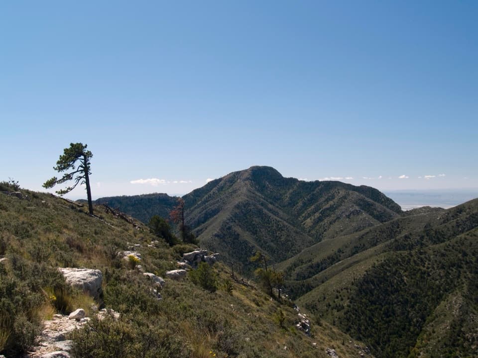
Junipers, pines, maples and oaks grow around the station in the canyon’s higher, shadier setting. The Dog Canyon area is also an access point for north-side backcountry hikes: Lost Peak Trail heads south through upper Dog Canyon, while Marcus Trail runs west into West Dog Canyon; both connect with longer routes.

Make it a separate tripDog Canyon is about a two-hour drive from Pine Springs, so plan it as its own north-side outing…

Dog Canyon is about a two-hour drive from Pine Springs, so plan it as its own north-side outing rather than a quick add-on. From the US 62/180 corridor, the route continues through New Mexico on NM-408 and NM-137 to Dog Canyon. The station is most useful as a practical pause before exploring the area, not as a full-service visitor desk.

Wildlife

Wildlife in Guadalupe Mountains

All Guadalupe Mountains wildlife maps

Sighting maps show where each species has been reported across Guadalupe Mountains. Wildlife moves, so no sighting is guaranteed.

Keep exploring

Near Dog Canyon Ranger Station

See it all on the map

Trails nearby

More stops nearby

Parkwolf’s Guadalupe Mountains ranking

Top sights in Guadalupe Mountains

All 34 places
  1. 1Guadalupe PeakSight
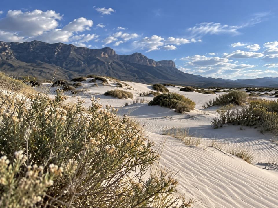
  2. 2Salt Basin DunesSight
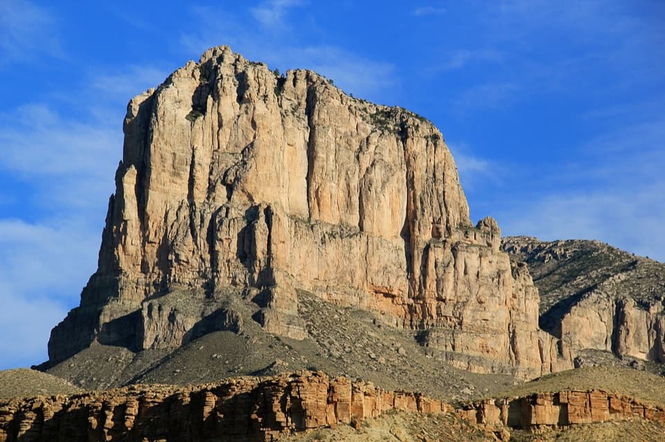
  3. 3El Capitan ViewpointSight
  4. 4Frijole Ranch MuseumSight
  5. 5Pratt CabinSight
  6. 6The GrottoSight

Take Parkwolf to Guadalupe Mountains.

The audio tour guide for the drive, plus offline maps, trails, and wildlife heatmaps for when the signal drops.

4.7 from 8,600+ ratings

Download Parkwolf on the App StoreGet Parkwolf on Google Play