1 active Guadalupe Mountains alert
- CautionDevil’s Hall wash dangerous when wetThe Devil’s Hall hike is strenuous, and its wash section is dangerous when wet or if water is present. - The wash requires rock scrambling.Official details
Sight · Guadalupe Mountains National Park
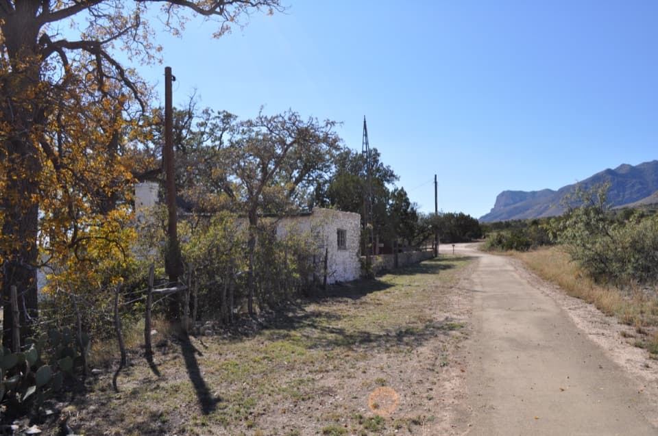
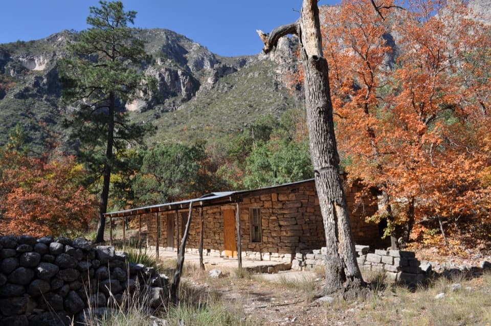
A stone ranching shack at the end of a 7-mile round trip.
Overview
Hunter Line Shack is a low stone ranch building tucked into South McKittrick Canyon, a hiking destination a short way beyond the Grotto. Add it if you want a real piece of the park’s ranching history and are already up for a canyon hike; as a quick building stop, it asks too much of your day.
 Parkwolf’s verdictIs the long walk for you?
Map
Plan your stop

The highest, rockiest slopes around here are a summer buffet for grizzly bears.
Guadalupe Mountains Tour Guide
Parkwolf is a GPS audio tour guide for Guadalupe Mountains National Park. As you drive, it chimes in with what’s ahead: hidden gems, upcoming stops, history, geology, and wildlife, right through your car’s speakers.
Recorded for this place
McKittrick Canyon: A Walk to Pratt Cabin“McKittrick Canyon's trailhead is coming up. I'd choose the walk to Pratt Cabin, a stone summer home with a porch for a break. It's four point eight miles round trip, taking two to four hours on rocky ground.”
Plays as you drive up to Hunter Line Shack in the Parkwolf Guadalupe Mountains Tour Guide.
More stories near here in the app
“Fantastic app with many points of information… It’s great to just turn on while you’re driving and it gives you an audio tour of the national Park. We love it!!!!”


Guide
Stone picnic tables sit near the shack, with exposed cave features nearby. The canyon is day-use only and its gate locks in the evening, so leave enough time to walk back out. Pets aren’t allowed on park trails.
The shack was part of the Hunter-Grisham ranching operation that brought smaller West Texas ranches together in the early 1900s. Judge J. C. Hunter owned 70,000 acres in what is now the park, and by the mid-1930s the Hunter family owned most of that land. For about fifty years, the family hosted guests here while managing Guadalupe Mountain Ranch.
The long, low building is made of irregular stone, with a porch running along its south side and its north wall built into the hillside. The remains of a tack room sit a short distance north. The National Park Service removed a later wood-frame addition in the 1980s so it wouldn’t add to the structure’s preservation needs.
The full porch and canyon setting make the best view of the shack; a tight crop loses how it fits into the hillside. McKittrick Canyon is especially known for fall color in late October.
The out-and-back is 7 miles round trip, usually 3 to 5 hours, and rated moderate because of the distance. The climb stays under 600 feet, but the trail alternates loose rock and hardened surfaces, so poles can help.
Wildlife
 33 sightingsAoudadMost seen around 6 AMSighting map
 162 sightingsMule DeerMost seen around 6 AMSighting map
 11 sightingsWild TurkeyMost seen around 7 AMSighting map
 34 sightingsCollared PeccaryMost seen around 7 AMSighting map
 37 sightingsDiamondback RattlesnakeMost seen around 6 PMSighting map
 42 sightingsBlack-tailed RattlesnakeMost seen around 7 PMSighting map
Sighting maps show where each species has been reported across Guadalupe Mountains. Wildlife moves, so no sighting is guaranteed.
Keep exploring
 ModerateThe Grotto and Hunter Line Shack7 mi · 4 hr · 2.2 mi awayA seven-mile canyon walk to shaded stone seats and ranch history.
 ChallengingMcKittrick Canyon Trail to The Notch9 mi · 6 hr · 2.2 mi awayGentle canyon miles lead to a steep, rocky climb to the Notch.
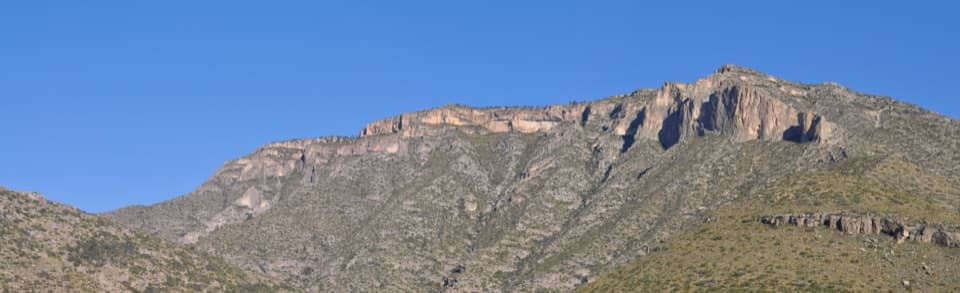 ChallengingPermian Reef Trail9.6 mi · 6 hr · 2.2 mi awayFossil markers reward the steep climb to ridge and canyon views.
 ChallengingMcKittrick Ridge Trail from McKittrick Canyon15.2 mi · 10 hr · 2.2 mi awayFour canyon miles, a steep climb, and no water at camp.
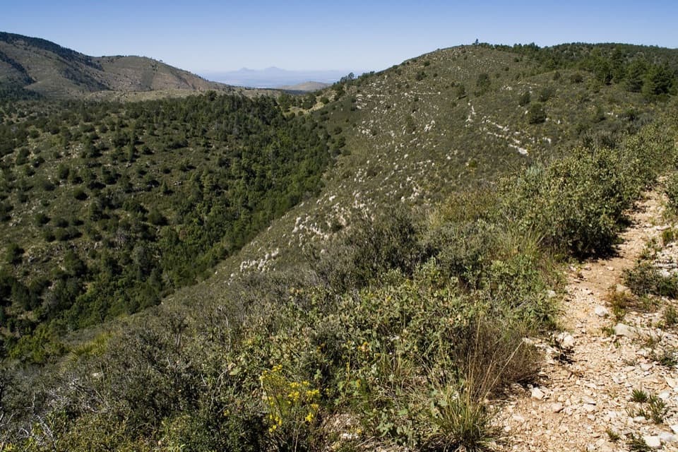 ChallengingMcKittrick Canyon to Dog Canyon15 mi · 10 hr · 2.2 mi awayA canyon climb, a high ridge, and a finish in Dog Canyon.
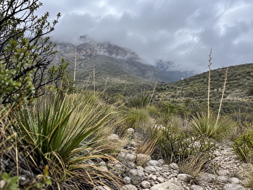 ModerateMcKittrick Canyon Nature Trail0.9 mi · 1 hr · 2.2 mi awayA compact desert loop for geology, junipers and a canyon view.
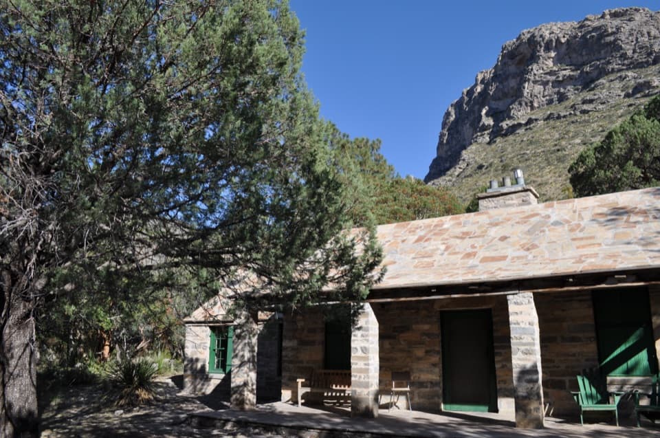 ModeratePratt Cabin Trail4.8 mi · 3 hr · 2.2 mi awayA 4.8-mile canyon walk to a historic stone cabin
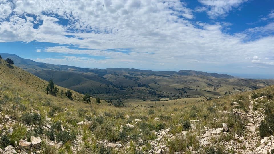 ModerateMarcus Overlook5.2 mi · 4 hr · 3.1 mi awayA rocky high-country hike to broad southern and western views.Sight · 0.1 mi awayThe GrottoA shady cave-like picnic stop halfway up McKittrick Canyon.Sight · 0.4 mi awayThe NotchA tough hike reaches the ridge's window into South McKittrick Canyon.Sight · 1.1 mi awayPratt CabinA stone cabin built with limestone hauled by pickup and horse-drawn sled.
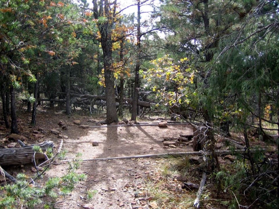 Campground · 1.2 mi awayMcKittrick Ridge Wilderness CampgroundEight remote tent sites on the ridge, reached by a steep backpack.
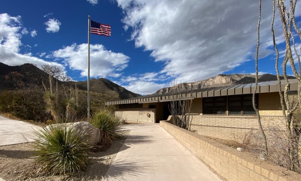 Visitor center · 2.2 mi awayMcKittrick Canyon Contact StationA practical starting point for McKittrick Canyon’s trail.
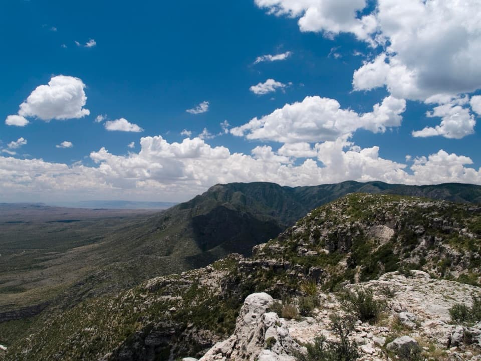 Campground · 2.2 mi awayWilderness Ridge Wilderness CampgroundA five-pad backcountry camp at the end of a 2,000-foot climb.
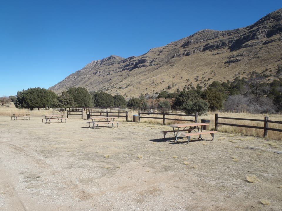 Campground · 3.1 mi awayDog Canyon CampgroundA quiet northern base for hikes into the park's high country.
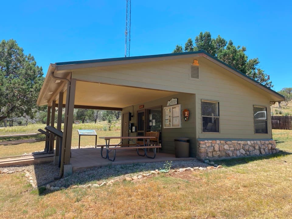 Visitor center · 3.2 mi awayDog Canyon Ranger StationA practical stop in the park’s remote northern district.
Parkwolf’s Guadalupe Mountains ranking
The audio tour guide for the drive, plus offline maps, trails, and wildlife heatmaps for when the signal drops.