Parking
Use Pine Springs Trailhead parking beside the Pine Springs Visitor Center. Follow the Tejas and Foothills/Frijole connections east to Bear Canyon.

#4 of 32 trails in Guadalupe Mountains
Guadalupe Mountains National Park, TX
Bear Canyon up, Tejas down, and a summit over the desert.
Overview
Hunter Peak Loop is an 8.7-mile round-trip loop from Pine Springs: leave on Tejas, follow the Foothills and Frijole connections east to Bear Canyon, climb to Hunter Peak, then come back west on the Bowl and Tejas trails. The summit pays you back with a view south across the desert, north toward the Bowl’s sheltered pine forest, and across Pine Springs Canyon to Guadalupe Peak. Plan on six to eight hours. This is a strenuous full-day hike for people who want a serious climb and don’t mind rough footing.
 Parkwolf’s verdictIs this the hike for you?
Map & elevation
Plan your hike

The highest, rockiest slopes around here are a summer buffet for grizzly bears.
Guadalupe Mountains Tour Guide
Parkwolf is a GPS audio tour guide for Guadalupe Mountains National Park. As you drive, it chimes in with what’s ahead: hidden gems, upcoming stops, history, geology, and wildlife, right through your car’s speakers.
Recorded for this trailhead
Pine Springs: The Guadalupe Peak Climb“You're nearing Pine Springs Trailhead, where the climb to Guadalupe Peak begins.”
Plays as you drive up to this trailhead in the Parkwolf Guadalupe Mountains Tour Guide.
More stories near here in the app
“Fantastic app with many points of information… It’s great to just turn on while you’re driving and it gives you an audio tour of the national Park. We love it!!!!”


Trail guide
The recommended direction is Bear Canyon for the climb and Tejas for the descent. From Pine Springs Trailhead, reach Bear Canyon through the Frijole Trail connection; the route uses the Foothills path between Pine Springs and Frijole. The often-quoted 1.8 miles for Bear Canyon is just the steep section from its lower junction to the ridge, not the whole hike. At the top, take the Bowl Trail to the short Hunter Peak spur. Retrace the spur, then continue west on the Bowl Trail to Tejas and follow Tejas back to Pine Springs. This route stays on the summit loop; the longer walk through more of the Bowl is a different itinerary.
Bear Canyon climbs about 2,000 feet in 1.8 miles, one of the steepest climbs in the park. It rises up the eastern escarpment, with switchbacks near the rim. Parts of the canyon have tree cover, but much of the climb is exposed to midday sun. The park recommends ascending this trail rather than descending it; Tejas takes about twice the distance to gain similar height. Expect loose and hardened rock, with the trail narrowing to about two feet in places. Hiking poles are a good idea on the steep, rough sections.
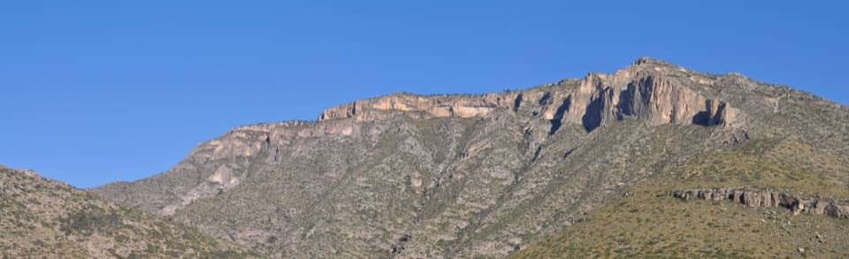
The route opens onto the rim above Pine Springs Canyon before reaching the summit at 8,368 feet. Turn south for the desert plain, then north for the mountains and the Bowl’s dense pines; look across Pine Springs Canyon for Guadalupe Peak. The short spur puts you on a small, exposed summit, so give yourself time to take in both halves of the view. It’s also the route’s best photo stop: shoot south over the desert, then turn north toward the forest and surrounding peaks.
The Bowl is a sheltered remnant forest high in the mountains, a striking change from the sun-baked lower slopes. Deer and elk may be seen there. Keep an eye out for remnants of a ranch-era water system along the trail.
Hunter Peak is named for J. C. Hunter and his son, ranchers who owned much of the land now inside the park. The Guadalupe Mountains expose a fossil reef formed in a shallow sea during the Permian, roughly 270 to 260 million years ago. You cross that ancient limestone landscape on the climb, then see its canyons and ridges spread out from the summit.
Carry all the water and food you’ll need; no water source is listed along this route, and the park has little to no cell reception in much of the backcountry. Take a detailed topographic map. Day hikers don’t need a reservation, but an overnight trip requires a Wilderness Use Permit. Pets aren’t allowed on park trails, except trained service animals. Bear Canyon’s fall colors are most likely from mid-October to mid-November. Pine Springs Campground near the trailhead has toilets and drinking water, but it’s a separate facility, not an on-trail stop.
Wildlife
 33 sightingsAoudadMost seen around 6 AMSighting map
 162 sightingsMule DeerMost seen around 6 AMSighting map
 11 sightingsWild TurkeyMost seen around 7 AMSighting map
 34 sightingsCollared PeccaryMost seen around 7 AMSighting map
 37 sightingsDiamondback RattlesnakeMost seen around 6 PMSighting map
 42 sightingsBlack-tailed RattlesnakeMost seen around 7 PMSighting map
Sighting maps show where each species has been reported across Guadalupe Mountains. Wildlife moves, so no sighting is guaranteed.
Keep exploring
 ChallengingDevil's Hall Trail4.2 mi · 4 hr · At the trailheadBoulder scrambling leads to a natural staircase and narrow canyon hall.
 ChallengingBowl Trail11 mi · 9 hr · At the trailheadA long Tejas climb reaches a remnant forest in the high country.
 ChallengingSalt Basin Overlook Trail11.3 mi · 8 hr · At the trailheadA long, open loop to the Salt Basin’s wide western views.
 ChallengingBush Mountain Summit Hike13.3 mi · 8.5 hr · At the trailheadA long ridge hike to Texas’s second-highest summit.
 ChallengingTejas Thru Hike11.8 mi · 8 hr · At the trailheadCross the park’s high country from the Bowl to Dog Canyon.
 ChallengingPine Springs to McKittrick Canyon18.8 mi · 14 hr · At the trailheadA long high-country traverse ending in South McKittrick Canyon.
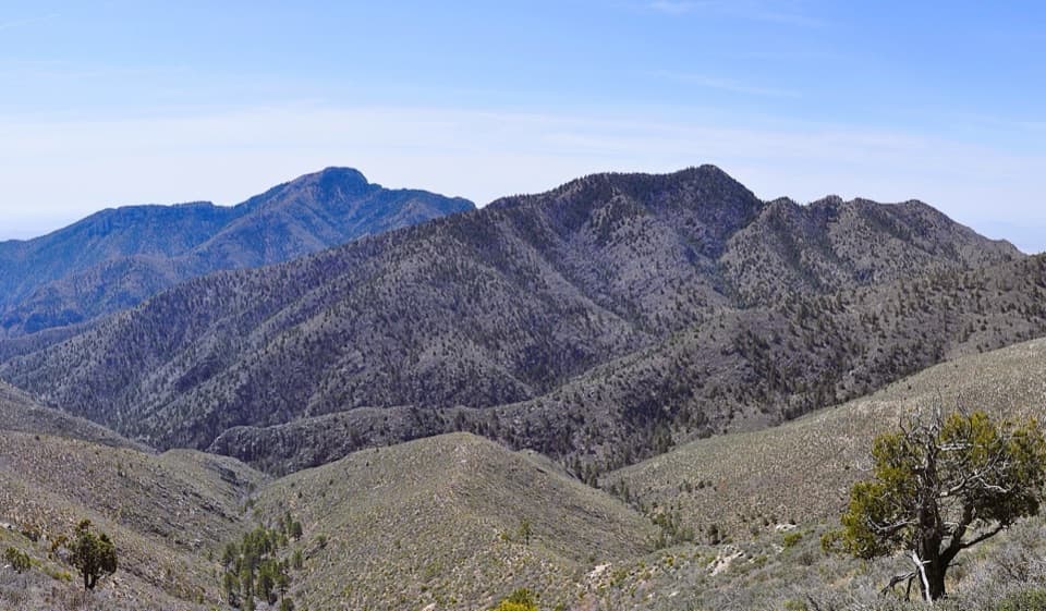 ChallengingBush Mountain–Blue Ridge Loop16.2 mi · 10.5 hr · At the trailheadA full-day ridge loop crosses Texas’s second-highest summit.
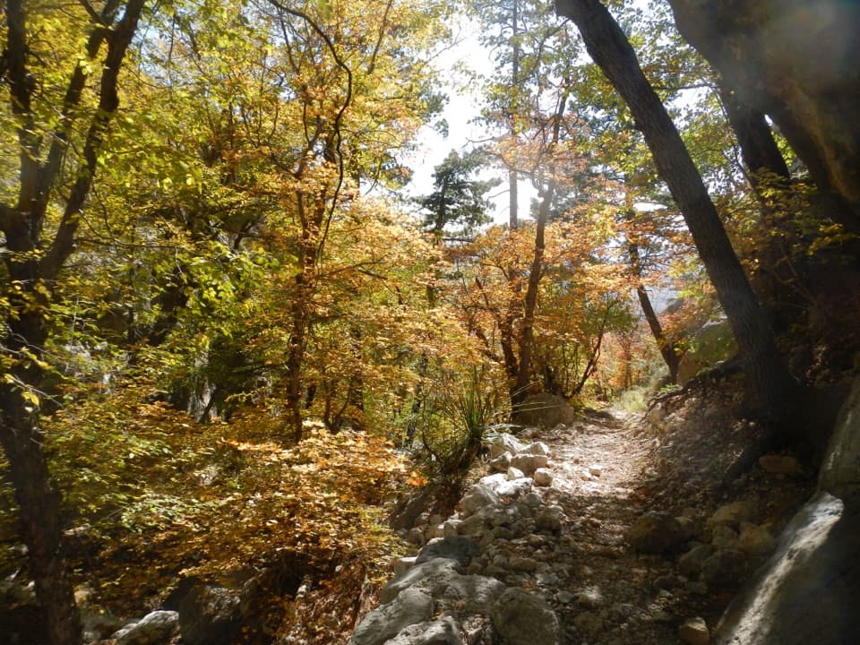 ChallengingBear Canyon–Juniper–Tejas Loop11 mi · 7.5 hr · At the trailheadSteep Bear Canyon, the Bowl's remnant forest, and a long Tejas return.
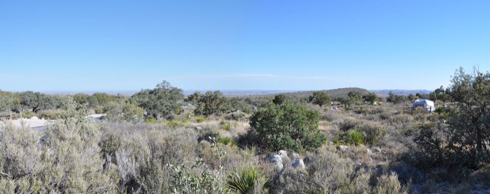 Campground · 0.1 mi awayPine Springs CampgroundA practical hiking base with tent sites, RV space, and mountain views.
 Visitor center · 0.4 mi awayPine Springs Visitor CenterStart here for permits, maps, and advice before your hike.
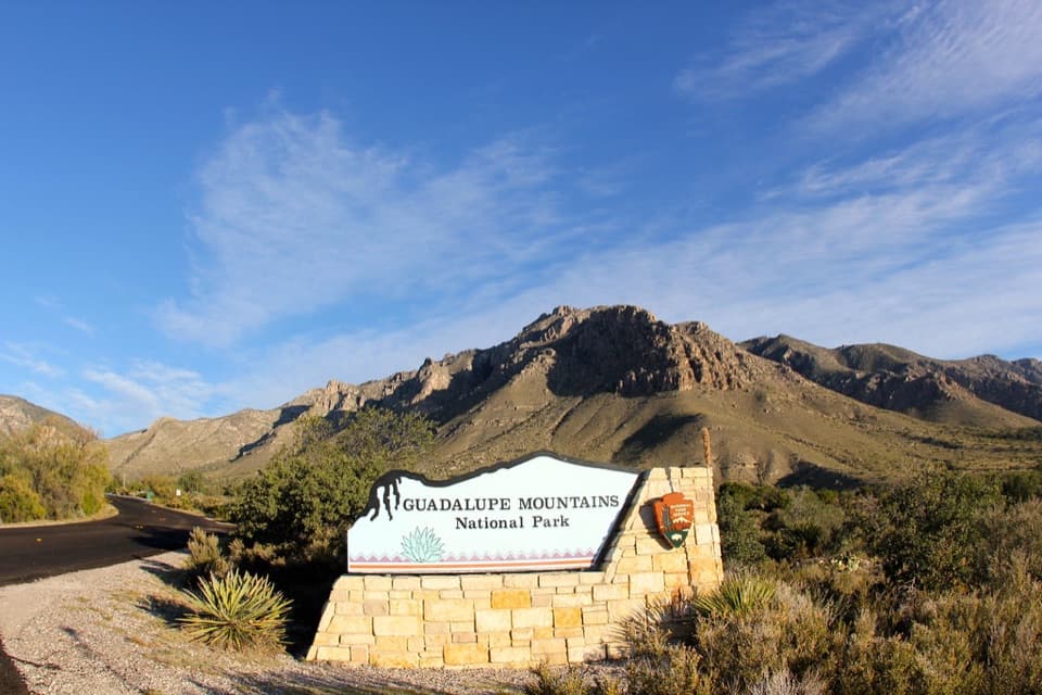 Sight · 0.5 mi awayGuadalupe Mountains National Park Entrance Sign (Pine Springs)A quick entrance photo with Hunter Peak behind the sign.
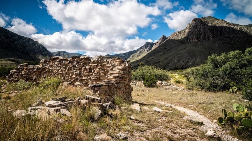 Sight · 0.6 mi awayThe PineryAn easy walk to the Butterfield route's highest station.
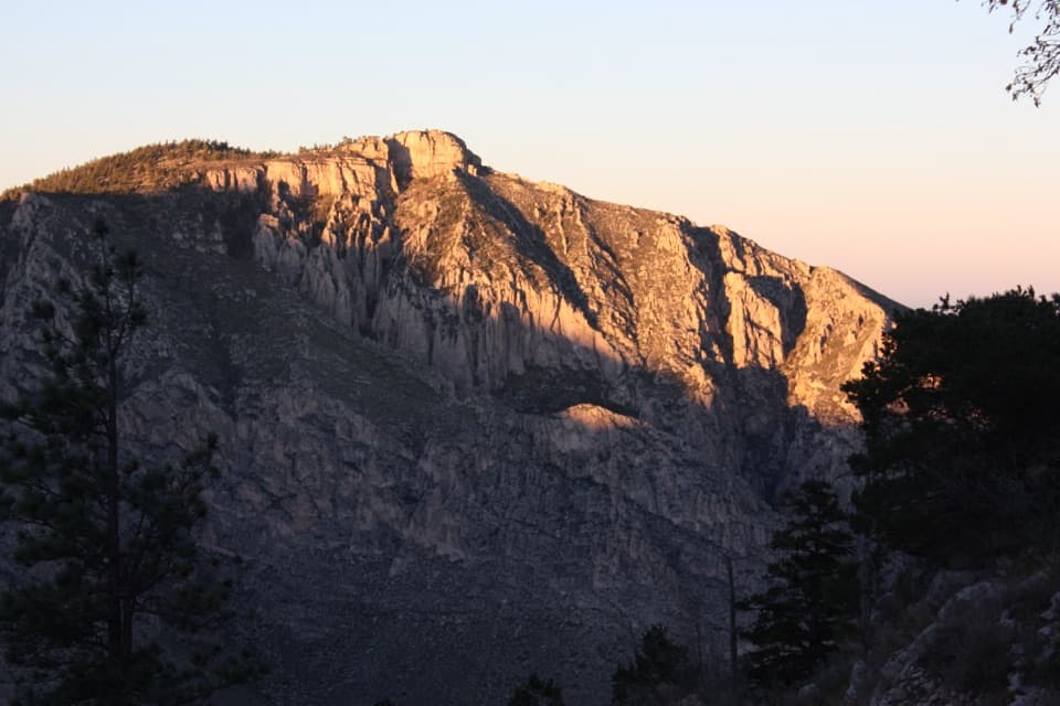 Sight · 1.2 mi awayHunter PeakA full-day climb to broad views from Texas’s sixth-highest peak.Sight · 1.4 mi awayDevil's HallA strenuous boulder scramble ends at a narrow limestone hallway.
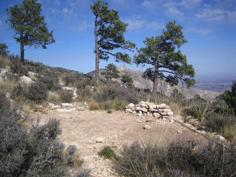 Campground · 1.4 mi awayGuadalupe Peak Wilderness CampgroundOvernight on the steep climb to Guadalupe Peak.
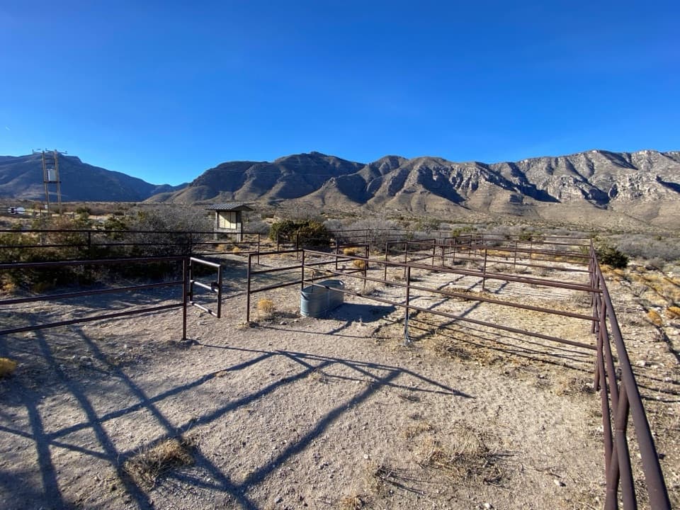 Campground · 1.7 mi awayFrijole Horse Corral CampgroundHorse camping with a clear view of the park's high peaks.
Parkwolf’s Guadalupe Mountains ranking
The audio tour guide for the drive, plus offline maps, trails, and wildlife heatmaps for when the signal drops.