Parking
Use the Frijole Ranch Trailhead at the end of Frijole Ranch access road, about one mile north of Pine Springs.

#6 of 32 trails in Guadalupe Mountains
Guadalupe Mountains National Park, TX
A desert loop to a shady spring and tiny waterfall.
Overview
Map & elevation
Plan your hike

The highest, rockiest slopes around here are a summer buffet for grizzly bears.
Guadalupe Mountains Tour Guide
Parkwolf is a GPS audio tour guide for Guadalupe Mountains National Park. As you drive, it chimes in with what’s ahead: hidden gems, upcoming stops, history, geology, and wildlife, right through your car’s speakers.
Recorded for this trailhead
Frijole Ranch: An Orchard Fed by Springs“You're approaching Frijole Ranch, where spring water supported an orchard and a small ranching community. Stop for the old stone house, one-room schoolhouse and shaded grounds.”
Plays as you drive up to this trailhead in the Parkwolf Guadalupe Mountains Tour Guide.
More stories near here in the app
“Fantastic app with many points of information… It’s great to just turn on while you’re driving and it gives you an audio tour of the national Park. We love it!!!!”


Trail guide
Smith Spring Trail Loop is a 2.3-mile circuit from Frijole Ranch to two springs on the east side of the Guadalupe escarpment. The route pairs a paved orchard walk with a rocky climb to a shaded spring and a return over open foothills. Allow one to two hours for the easy-to-moderate loop, which has 402 feet of listed elevation change. It is a good choice when you want a short walk with more than one landscape, but the rough section feels like a real hike. For a shorter, accessible outing, the separate paved Manzanita Spring walk is about half a mile round-trip and turns back before Smith Spring.
The circuit starts at the signed Frijole Ranch Trailhead. The first leg to Manzanita Spring is paved and passes the ranch buildings and orchard. Beyond Manzanita, the trail leaves pavement for loose or hardened rock and climbs through lower, open slopes toward Smith Spring. The published segment breakdown gives about 0.2 mile from the trailhead to Manzanita, 0.9 mile to Smith Spring, another 0.9 mile to the Frijole Trail junction, and 0.3 mile back. You can walk either way; there is no clear agreement on which direction makes the steeper steps easier. Hiking poles are useful on the uneven upper tread.
Smith Spring is a small, shaded pocket against the mountain, with a short waterfall feeding a clear pool beneath a canopy that feels out of place in the surrounding desert. Water seeps from cracks in the limestone, flows underground below the spring, then appears again at Manzanita Spring. Ponderosa pine, Texas madrone and big-toothed maple grow in this damp patch. The madrone flowers in spring and carries red berries in fall; the maple can turn red-orange later in the year.
The walk begins in the landscape of Frijole Ranch, once called Spring Hill Ranch by John Thomas Smith, who filed on the site in 1906. He and Nella May Smith raised ten children there and irrigated a 15-acre orchard and garden with local spring water. They hauled produce to Van Horn, about 65 miles away, on two-day wagon trips. The orchard was partially replanted in 2006, a century after the Smith family settled here. It gives the paved opening a human story before the route climbs into the mountain foothills.
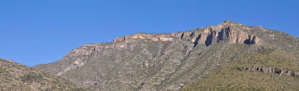
Away from the springs, the route looks out across the foothills, desert and the limestone mountains above. The open stretches have little shade, while the spring areas are greener and cooler by contrast; take that exposure into account on hot days. Scars from wildland fires in 1990 and 1993 are still visible along the walk. Watch for birds, mule deer and elk; sightings are never guaranteed.
Drive Frijole Ranch access road to its end, about a mile north of Pine Springs, and use the signed trailhead parking area. Shade structures, picnic tables and vault toilets are available at the parking area. Bring drinking water from the start because the route has exposed sections and no verified drinking-water source along the loop. Dogs are not allowed on park trails; trained service animals are permitted.
Wildlife
 33 sightingsAoudadMost seen around 6 AMSighting map
 162 sightingsMule DeerMost seen around 6 AMSighting map
 11 sightingsWild TurkeyMost seen around 7 AMSighting map
 34 sightingsCollared PeccaryMost seen around 7 AMSighting map
 37 sightingsDiamondback RattlesnakeMost seen around 6 PMSighting map
 42 sightingsBlack-tailed RattlesnakeMost seen around 7 PMSighting map
Sighting maps show where each species has been reported across Guadalupe Mountains. Wildlife moves, so no sighting is guaranteed.
Keep exploring
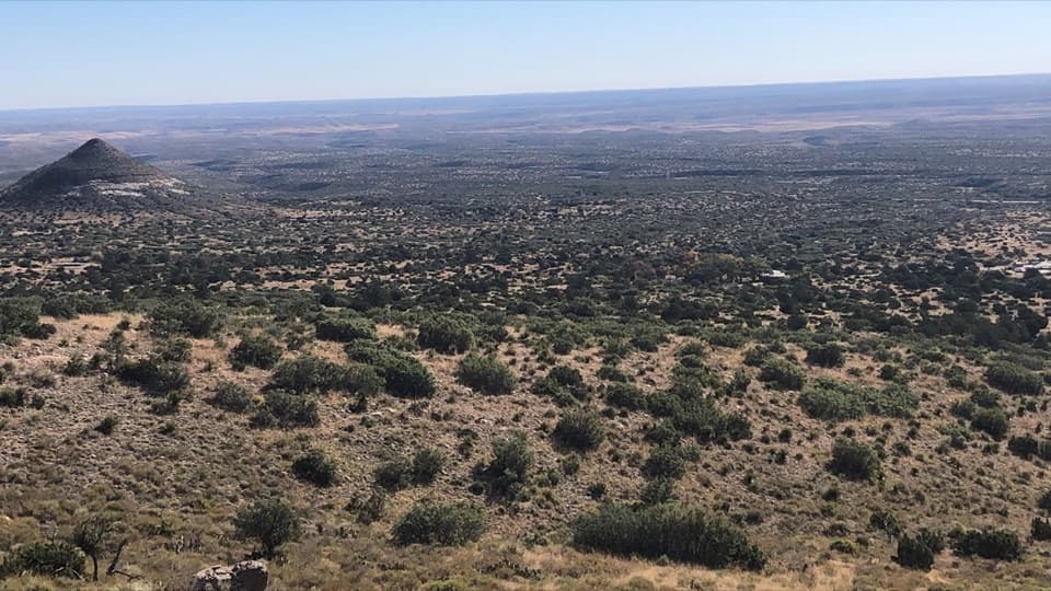 ModerateFoothills Loop4.5 mi · 3 hr · 0.1 mi awayOpen grassland and juniper, with Bear Canyon and El Capitan views.
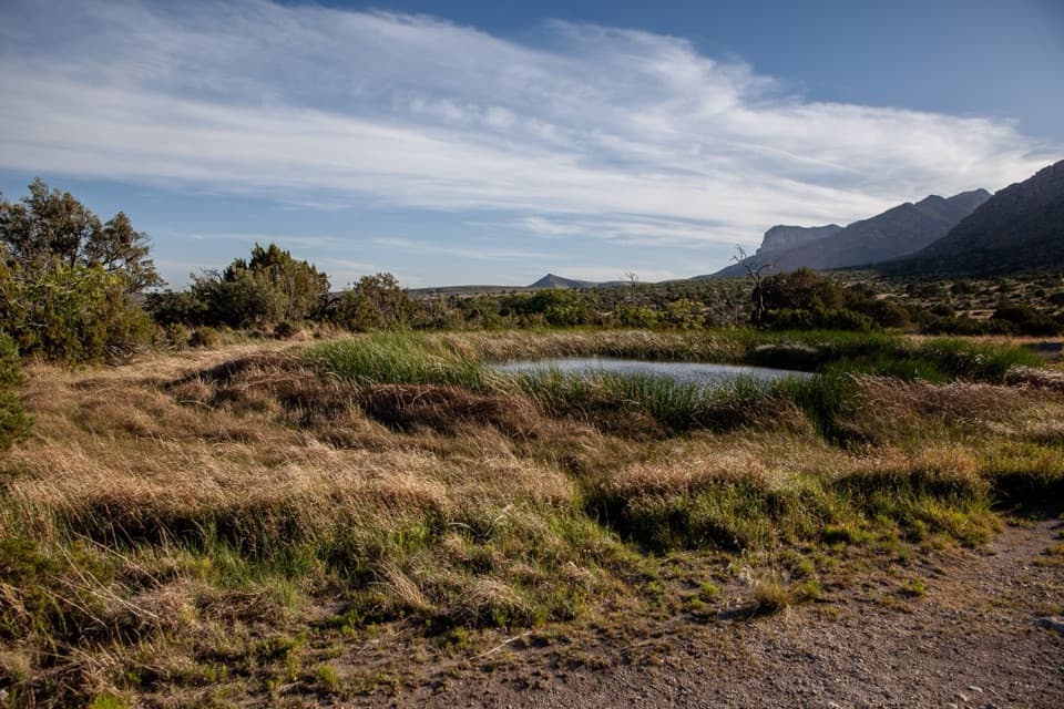 EasyManzanita Spring Trail0.5 mi · 24 min · 0.1 mi awayA short paved walk through an old orchard to a spring.
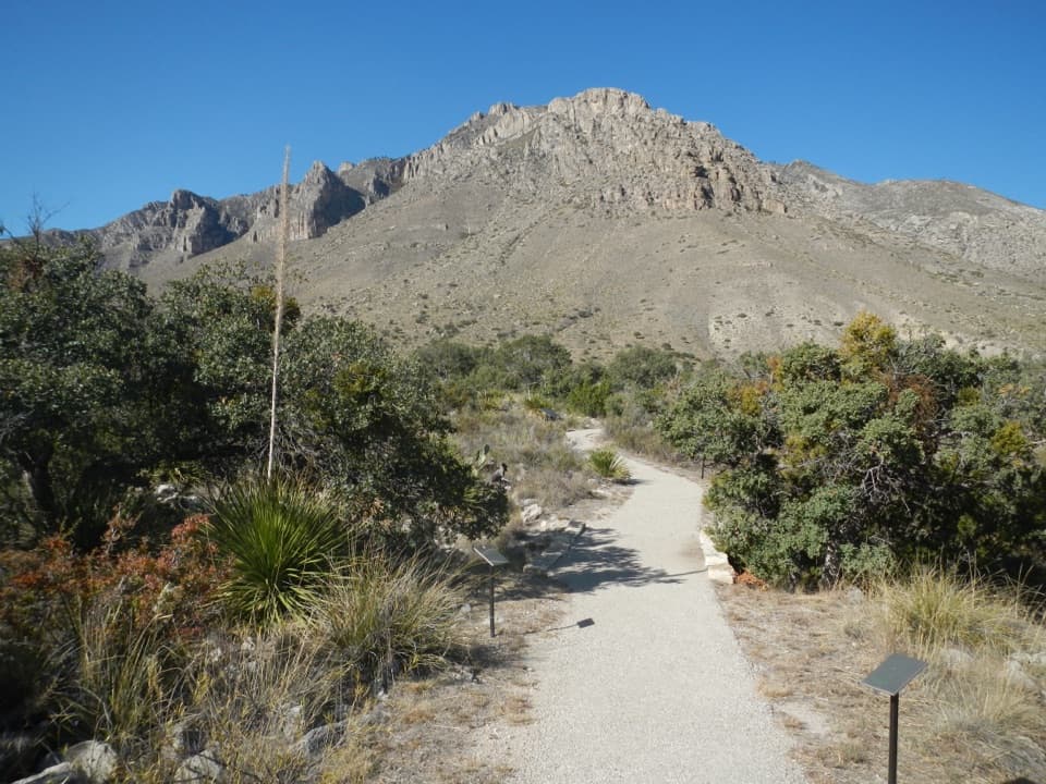 EasyPinery Trail0.8 mi · 25 min · 1.5 mi awayA quick paved walk to an 1858 Butterfield stage station.
 ChallengingHunter Peak Loop8.7 mi · 7 hr · 1.7 mi awayBear Canyon up, Tejas down, and a summit over the desert.
 ChallengingDevil's Hall Trail4.2 mi · 4 hr · 1.7 mi awayBoulder scrambling leads to a natural staircase and narrow canyon hall.
 ChallengingBowl Trail11 mi · 9 hr · 1.7 mi awayA long Tejas climb reaches a remnant forest in the high country.
 ChallengingSalt Basin Overlook Trail11.3 mi · 8 hr · 1.7 mi awayA long, open loop to the Salt Basin’s wide western views.
 ChallengingBush Mountain Summit Hike13.3 mi · 8.5 hr · 1.7 mi awayA long ridge hike to Texas’s second-highest summit.
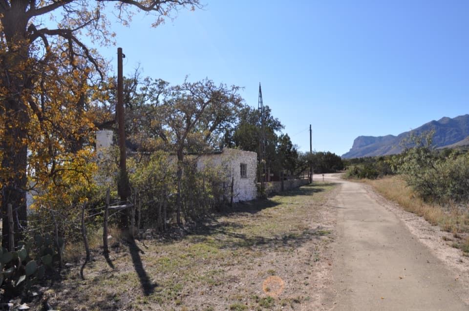 Sight · At the trailheadFrijole Ranch MuseumA spring-fed ranch oasis with a schoolhouse and orchard.
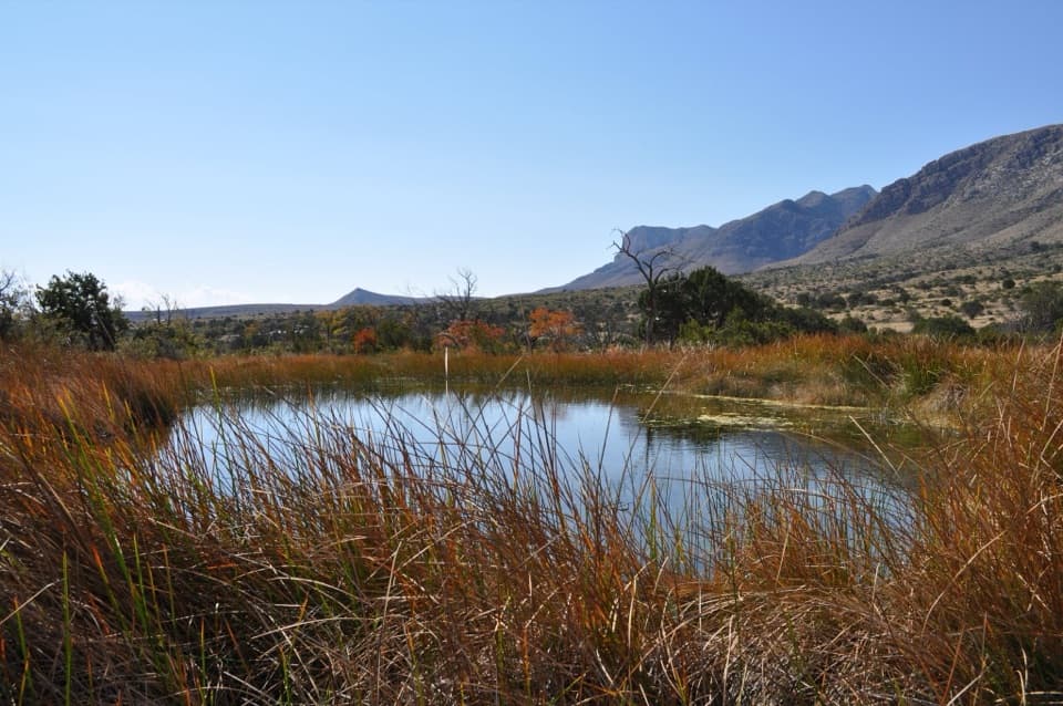 Sight · 0.3 mi awayManzanita SpringShort spring walk, ranch history, and a chance to see desert birds.
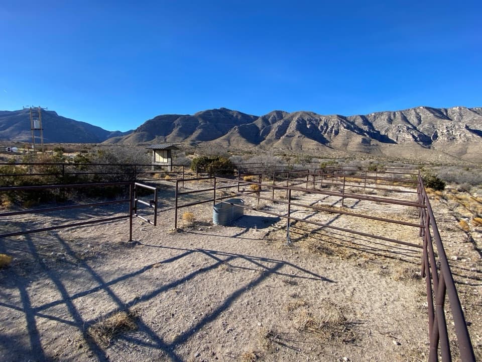 Campground · 0.6 mi awayFrijole Horse Corral CampgroundHorse camping with a clear view of the park's high peaks.Sight · 0.8 mi awaySmith SpringA small cascade feeds a shady pool under the eastern escarpment.
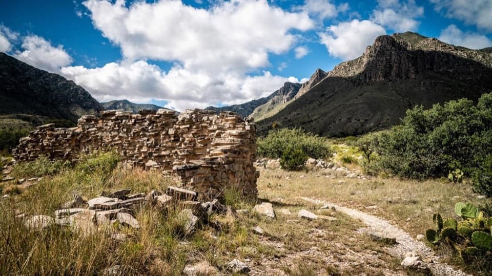 Sight · 1.3 mi awayThe PineryAn easy walk to the Butterfield route's highest station.
 Visitor center · 1.5 mi awayPine Springs Visitor CenterStart here for permits, maps, and advice before your hike.
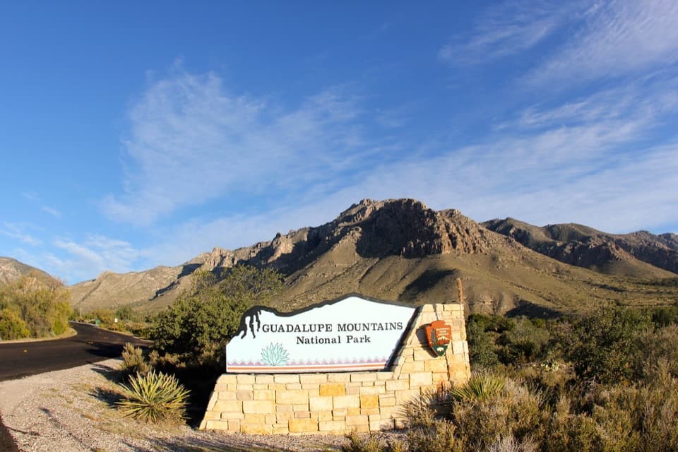 Sight · 1.5 mi awayGuadalupe Mountains National Park Entrance Sign (Pine Springs)A quick entrance photo with Hunter Peak behind the sign.
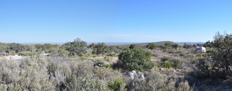 Campground · 1.7 mi awayPine Springs CampgroundA practical hiking base with tent sites, RV space, and mountain views.
Parkwolf’s Guadalupe Mountains ranking

The audio tour guide for the drive, plus offline maps, trails, and wildlife heatmaps for when the signal drops.