
Place · 0.8 mi away
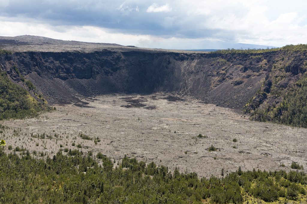
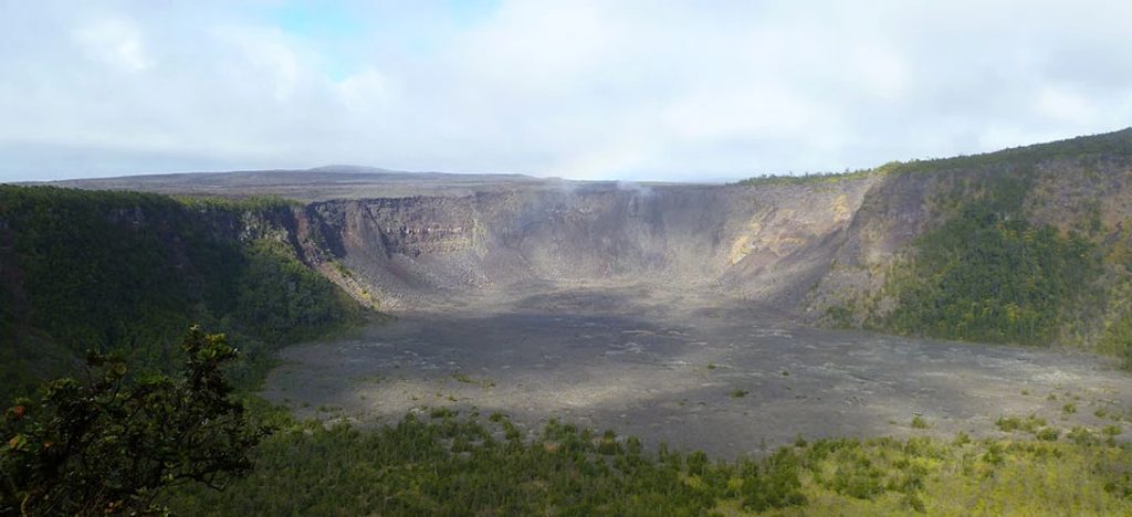
Makaopuhi is a remote, steep-walled pit crater deep in the East Rift Zone, reached via the Nāpau Trail from the Mauna Ulu area. It’s a classic backcountry stop: rugged, raw, and far less visited than roadside viewpoints.
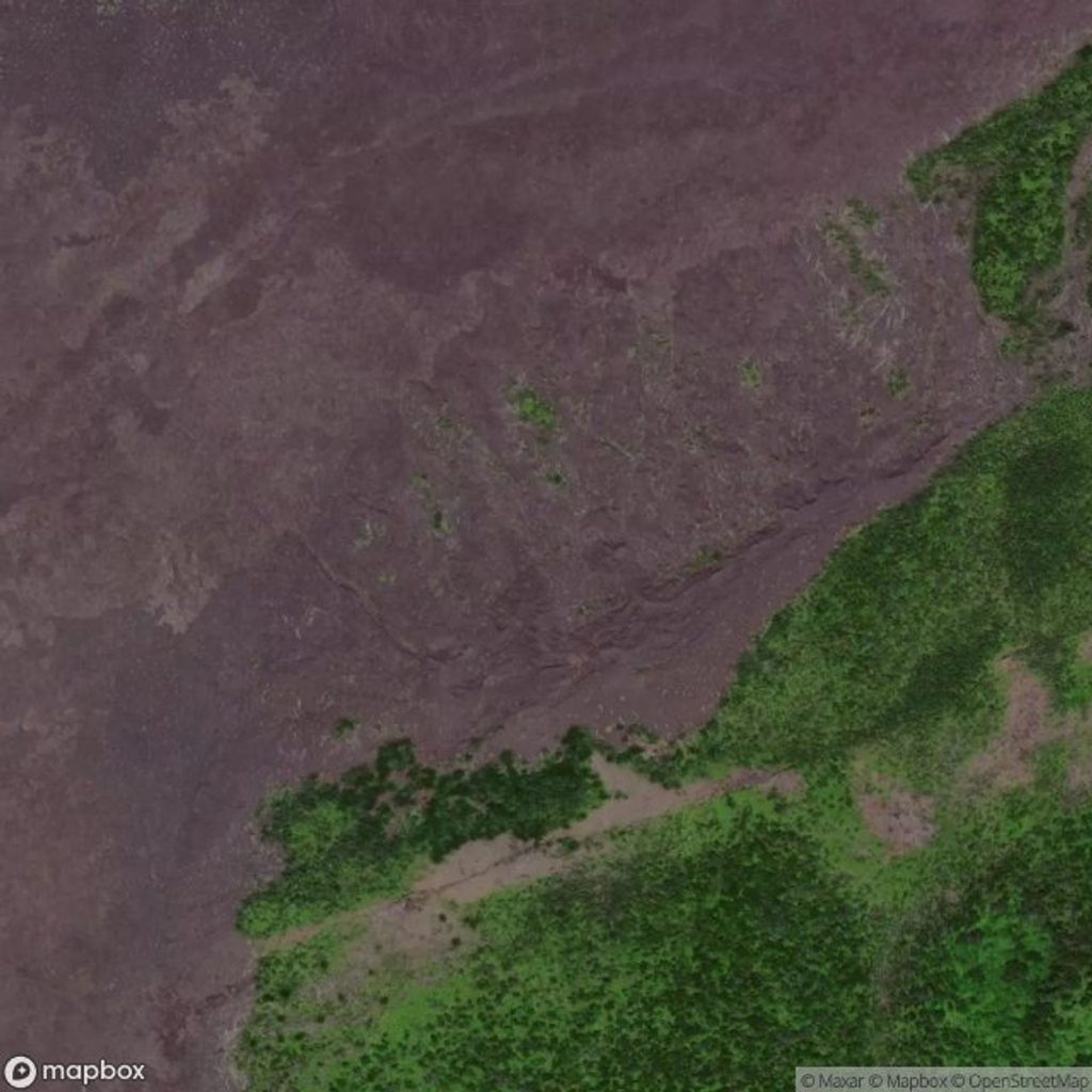
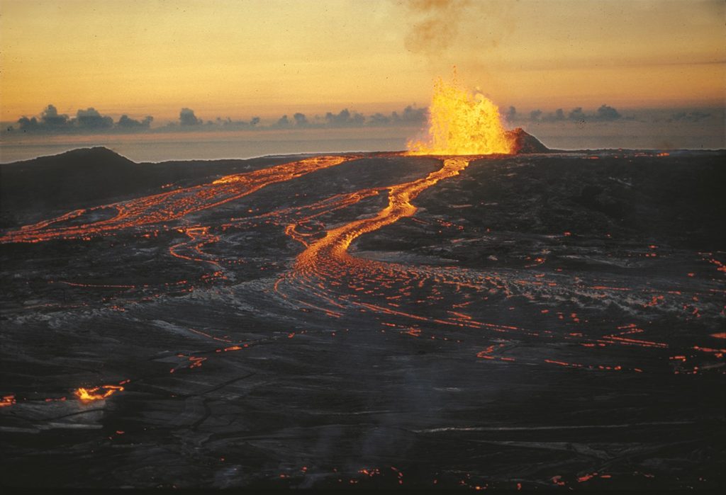
This is a double pit crater—two adjoining collapse features—so the shape is more complex than a simple bowl. The 1969–1974 Mauna Ulu eruption spilled lava into the western side, leaving a stark split personality: fresh, dark lava on one half; older, green forest on the other. It’s a textbook look at rift-zone collapse and how eruptions remodel the landscape.
Hike the Nāpau Trail from the Mauna Ulu parking area off Chain of Craters Road. Sources describe it as roughly 5 miles to reach Makaopuhi, over uneven, sometimes sharp pāhoehoe/‘ā‘ā. Expect cairn-marked lava crossings, minor ups and downs, and little shade. There are no facilities at the crater; the nearest basic services are back at the trailhead.
Sun and heat are the main hazards—much of the route is exposed. The lava can be sharp and glassy, so sturdy footwear and a small first-aid kit are smart. Carry ample water and snacks; there’s no water on the trail or at the crater. Check the park’s Nāpau Trail page for current conditions and any closures before you go.
Pit craters here formed when magma withdrew and the ground above collapsed. Makaopuhi sits between Mauna Ulu and Puʻuʻōʻō along Kīlauea’s East Rift. Chain of Craters Road once reached this area, but subsequent eruptions—including Mauna Ulu—reworked the terrain and ended vehicle access, leaving it a hikers-only destination.
This hike is about geology and big scenery. Specific wildlife sightings aren’t well documented for this spot; don’t count on fauna as the highlight.
Place · 0.8 mi away
Place · 1.5 mi away
Place · 2 mi away
Place · 2 mi away
Challenging · 2.9 mi away
Challenging · 2.9 mi away
Moderate · 3 mi away
Easy · 5.5 mi away

Parkwolf Tour Guide
