
Place · 0.5 mi away
Moderate
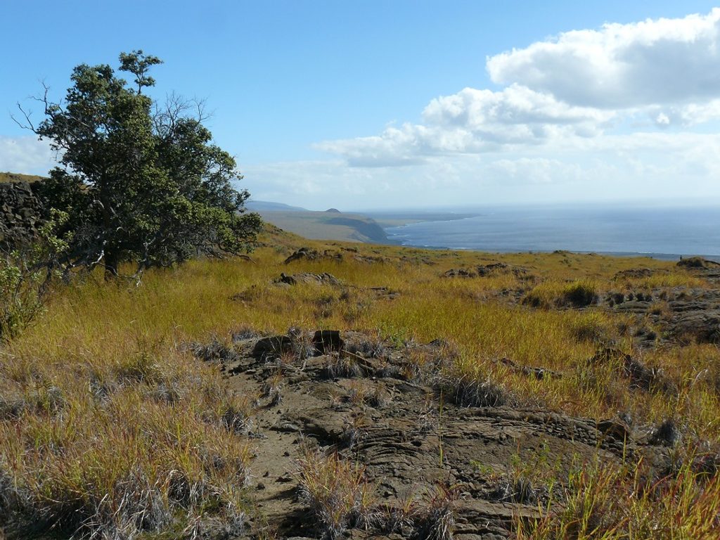
The Ka‘ū Desert Trail is for hikers who love raw geology and big, empty space. You’re crossing a volcanic ash plain and young lava on Kīlauea’s leeward side—harsh, windy, and wide open. It’s not lush or “pretty” in the classic sense; it’s about solitude, history, and the feel of a living volcano underfoot.
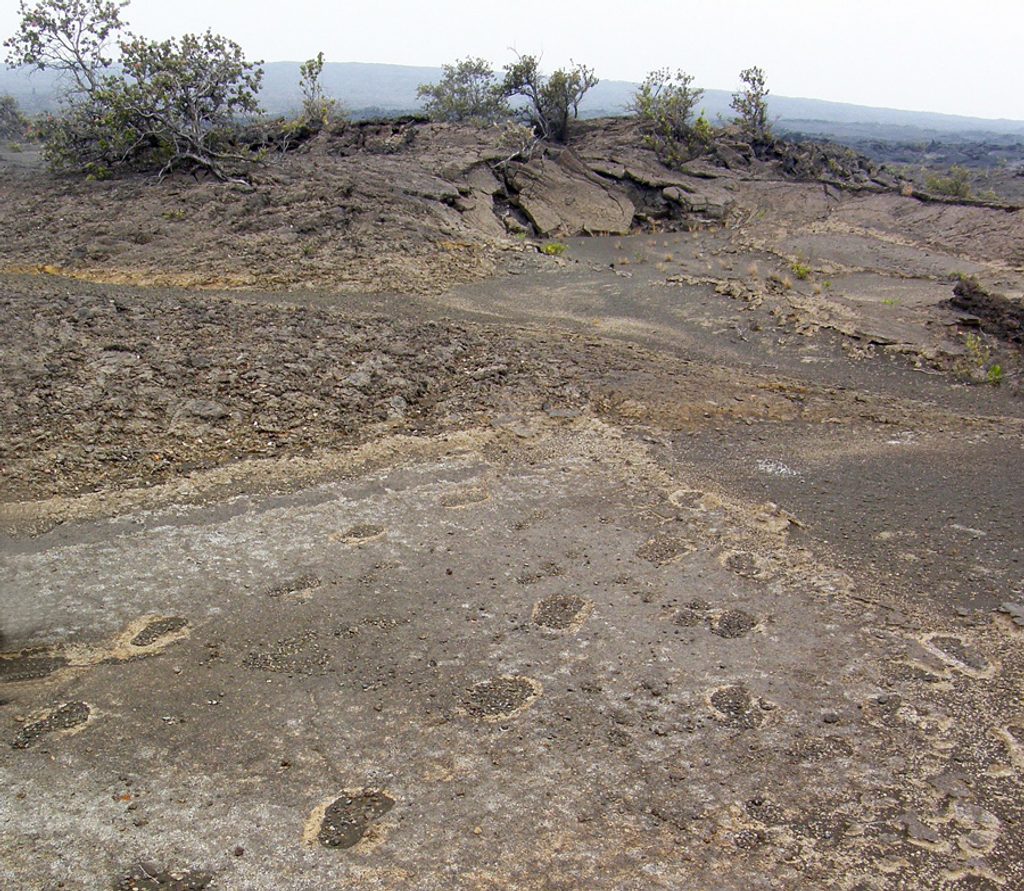
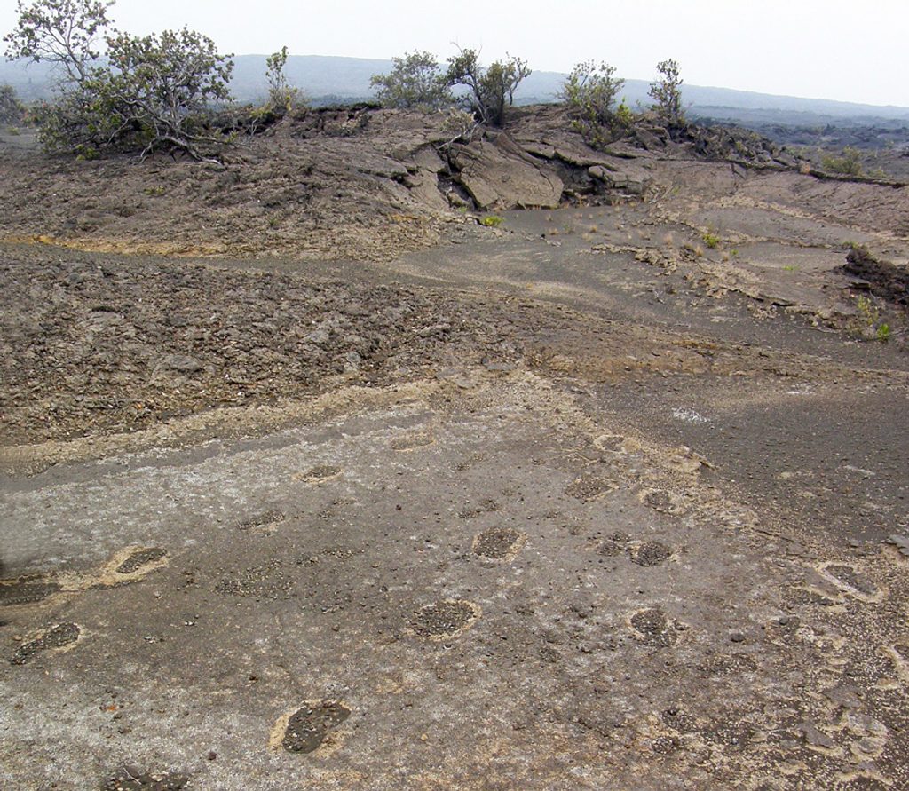
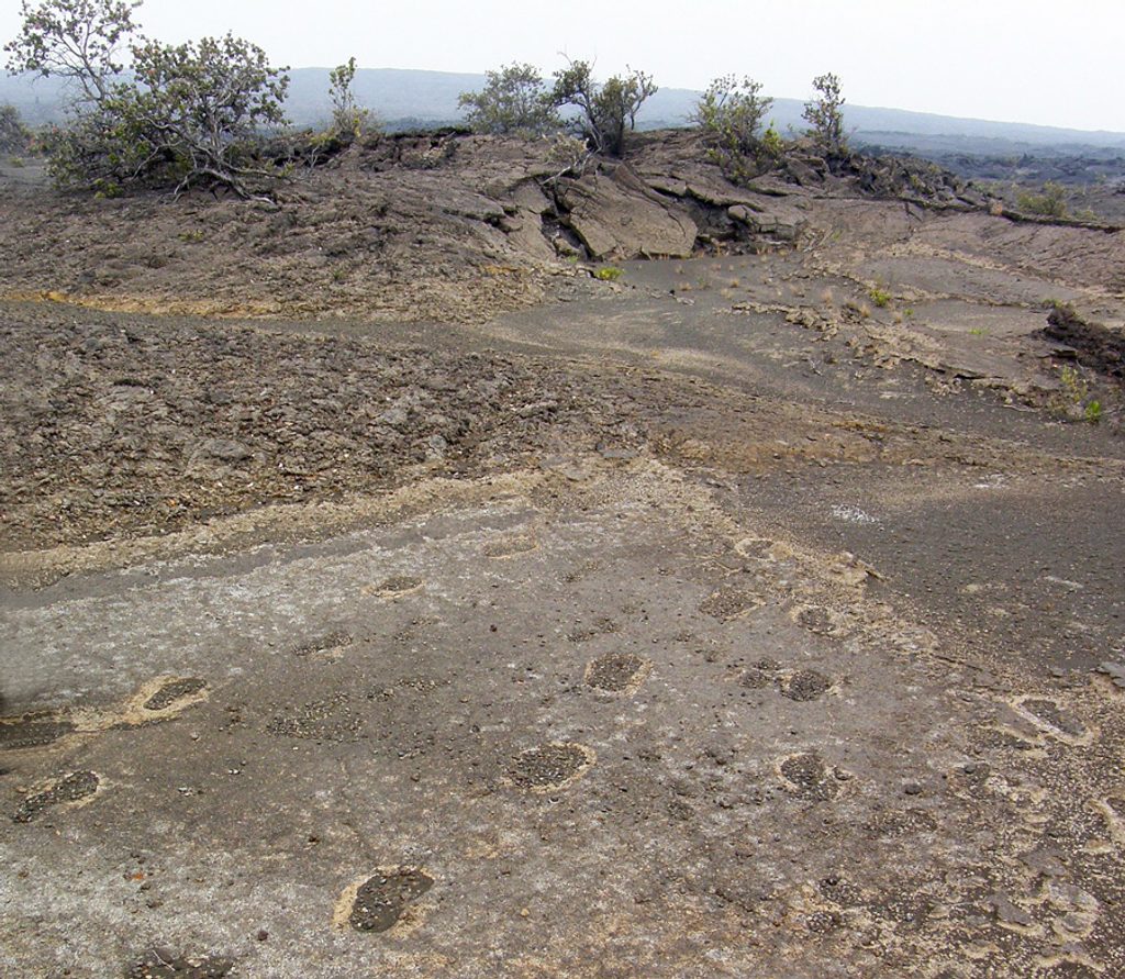
From the Highway 11 trailhead, many people make a short outing to the 1790 Footprints—preserved in ash from an explosive eruption—before turning back. That’s a quick taste of the desert and the story it tells. If you keep going, the corridor continues past Maunaiki (a 1919–1920 eruption feature) and, for strong day hikers, out toward Kamakai‘a Hills. The full out-and-back to Kamakai‘a Hills is about 10.5 miles total and typically takes 5–7 hours. Distances here depend entirely on your turnaround point—go as short or long as conditions and water allow.
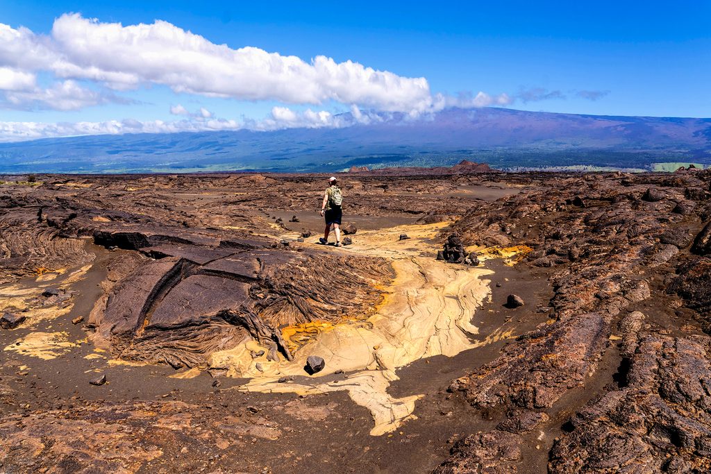
Expect hot, shadeless travel across pāhoehoe and patches of rougher ‘a‘ā and ash. The route is marked by ahu (rock cairns); you’ll want to keep your head up and follow them closely across the open slabs. It’s usually quiet out here—fewer crowds than the park’s marquee stops—so you’ll get that big-sky, windswept feel with Mauna Loa on the horizon. Interpretive signs near the Footprints area add context to what you’re seeing.
Navigation is simple in concept but surprisingly easy to fumble if you stop watching the cairns. There’s no water, no shade, and the surface can chew up thin shoes—come prepared or choose a cooler, shorter outing. If you’re after greenery or waterfalls, this isn’t it. If you want a backcountry-feeling traverse without big elevation, it delivers.
Overall: underrated if you like austere volcanic scenery and history; a pass if you crave shade and classic tropical views.
Park at the Ka‘ū Desert Trailhead directly off Highway 11 (between mile markers ~38–39). No water or services at the trailhead.
Full exposure, no water, and cairn-based navigation across lava and ash. Heat, wind, and occasional acid rain are real factors. The Footprints area is fragile—stay on marked paths.
Place · 0.5 mi away
Place · 1.7 mi away
Place · 6 mi away
Place · 6.1 mi away
Easy · 0 mi away
Easy · 0 mi away
Challenging · 6.3 mi away
Easy · 6.3 mi away

Parkwolf Tour Guide
