
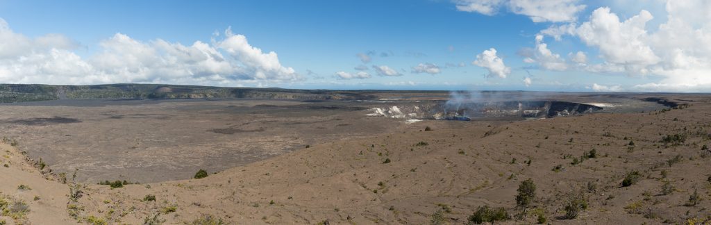
Place
Challenging
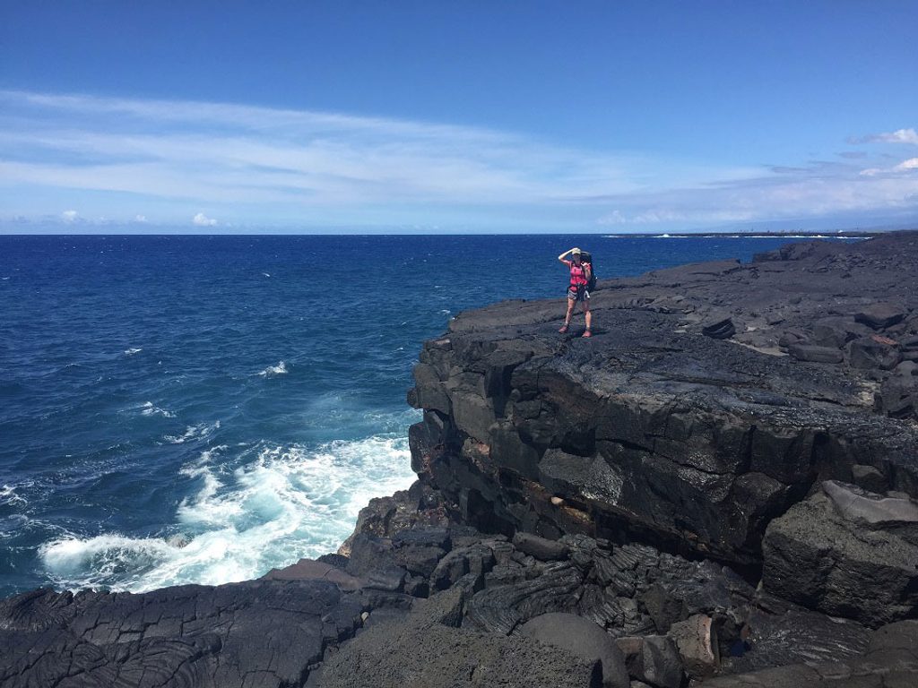
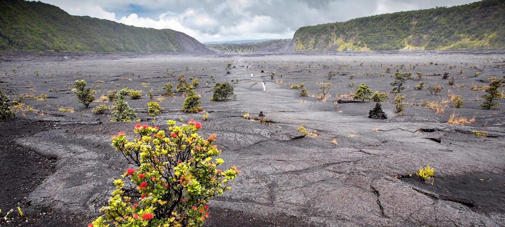
This is a stark, scenic grind over young lava to one of the park’s most remote shorelines. From the Puʻu Loa parking area, you follow ahu (tall lava-rock cairns) across broad pāhoehoe flows—with occasional rough, jagged ʻaʻā from the 1969–1974 Mauna Ulu eruptions—until the ocean fills your view. It’s raw, exposed, and beautiful, with surf pounding black lava benches and hardy green splashes of naupaka and sea purslane breaking up the black.
Most day hikers aim for ʻĀpua Point, an oasis-like promontory with a sandy pocket, a few palms, and a composting toilet—13.2 miles round-trip. Strong backpackers continue along the coast toward Halapē (about 11.3 miles one-way from Puʻu Loa), but that’s truly backcountry.
Make no mistake: this route is hard because of the surface and exposure, not the elevation. You’re walking on uneven, sharp lava for hours with virtually no shade. Wind, heat, and sudden coastal showers are common. Cell service is limited and you’ll likely have the place to yourself.
There’s no traditional dirt tread—wayfinding is by ahu marking the route across lava. In flat light or rain, staying on line can take focus. A map (and GPS as backup) helps, especially if you push beyond ʻĀpua.
You’re literally hiking a living geologic timeline—smooth pāhoehoe, pockets of rough ʻaʻā, and shiny young flows from the early 1970s. Near the coast, watch for sea life: turtles and seabirds often work the surf. ʻĀpua (“fish trap”) hints at the coast’s long fishing history and makes a fitting turnaround.
Hikeable year-round. The coast is exposed, so earlier starts are kinder for heat and wind. Drier months (roughly April–October) are generally more comfortable; avoid heavy rain and high heat if you can. Crowds are rare any time—solitude is part of the draw.
If you want solitude, big ocean energy, and the unique feel of lava underfoot, this is a memorable day out to ʻĀpua Point. If you prefer shade, soft tread, or lots of amenities, skip it—this one’s for prepared hikers who don’t mind a rugged, no-frills adventure.
Park at the Puʻu Loa (Petroglyphs) parking area off Chain of Craters Road; the route begins there.
Fully exposed lava hiking with sharp, uneven footing; limited cell service; route-finding by cairns; sudden coastal showers; hazardous surf; no potable water or shade.
Place
Place
Place
Place
Moderate
Moderate
Easy
Easy

Parkwolf Tour Guide
