
Place
Easy
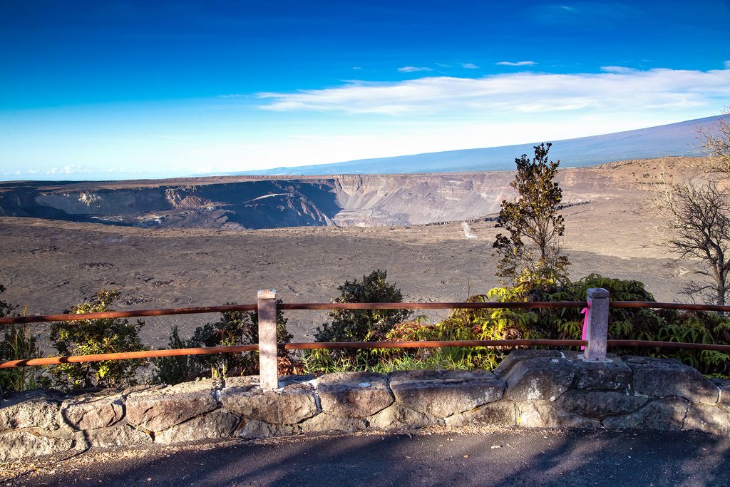
Waldron Ledge is the easy win at Kīlauea’s summit: a short, paved out-and-back with an oversized payoff. It’s about 1.0 mile round-trip to the main overlook, starting across the street from the Kīlauea Visitor Center, just left of Volcano House. The path follows a closed section of the old Crater Rim Drive, and yes—you’ll literally walk over painted road lines.
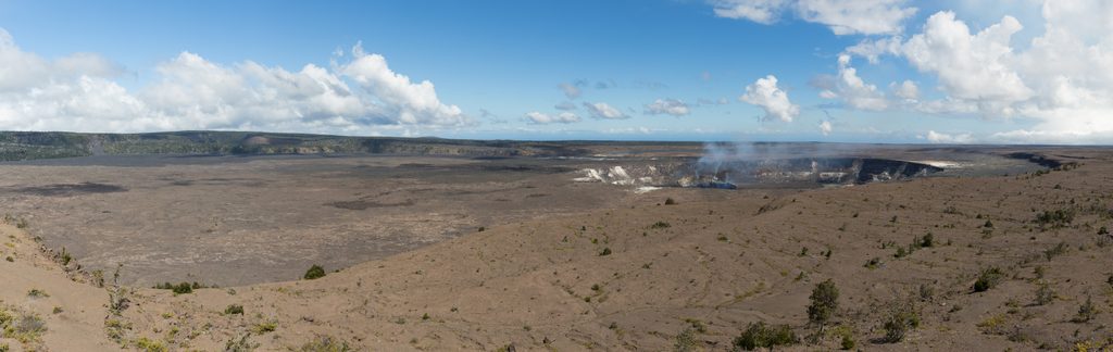
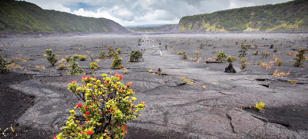
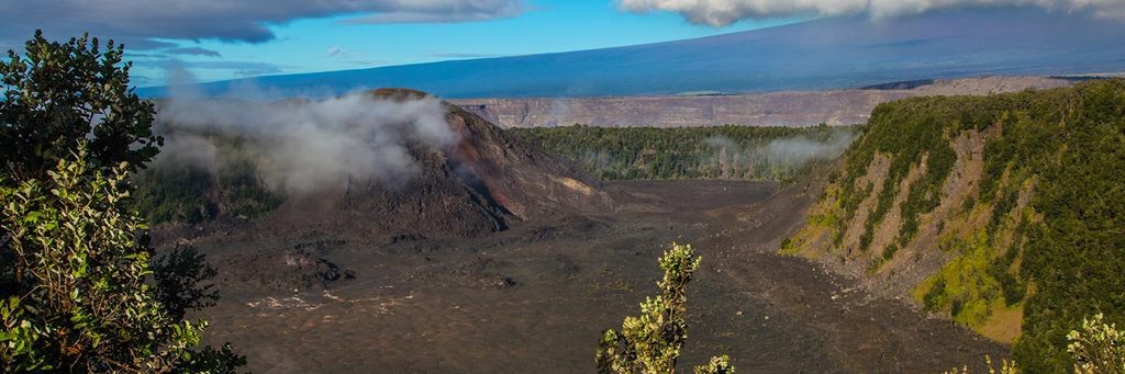
This is all about the view. The overlook peers straight into Kaluapele (Kīlauea caldera) and Halemaʻumaʻu, with the scale of the 2018 summit collapse on full display. Along the way, look for cracked and tilted pavement—scars from past earthquakes that turned a roadway into a trail and a living geology lesson.
It’s paved, mostly gentle, and generally stroller- and wheelchair-friendly, though you’ll encounter uneven, quake-buckled sections. One small overlook just past Volcano House drops steeply; skip that if you’re using a wheelchair or stroller and head for the larger, wheelchair-accessible main overlook. Bikes are suitable on this surface.
You’re walking the remnants of Crater Rim Drive, shuttered after significant damage from a 1983 earthquake. The ledge has since witnessed major change, including the 2018 caldera collapse that reshaped the landscape you’re staring into—crisp context for the volcano’s restless nature.
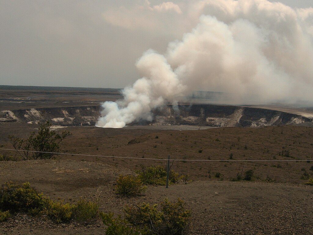
Year-round is fair game at this elevation. Go early or late for cooler temps, softer light, and better photos. Midday can be harsh and exposed. Steam vents and sulfur banks are nearby; heed any volcanic gas warning signs and move through sensitive areas promptly if fumes bother you.
Park at Kīlauea Visitor Center. The trail starts across the street, left of Volcano House, down the service road to the rock wall on the left.
Expect cracked and tilted pavement with some steep grades; avoid the steep small overlook if using a wheelchair or stroller. Heed volcanic gas warning signs and move through fume-prone areas promptly if sensitive.
Place
Place
Place
Place
Moderate
Moderate
Easy
Easy

Parkwolf Tour Guide
