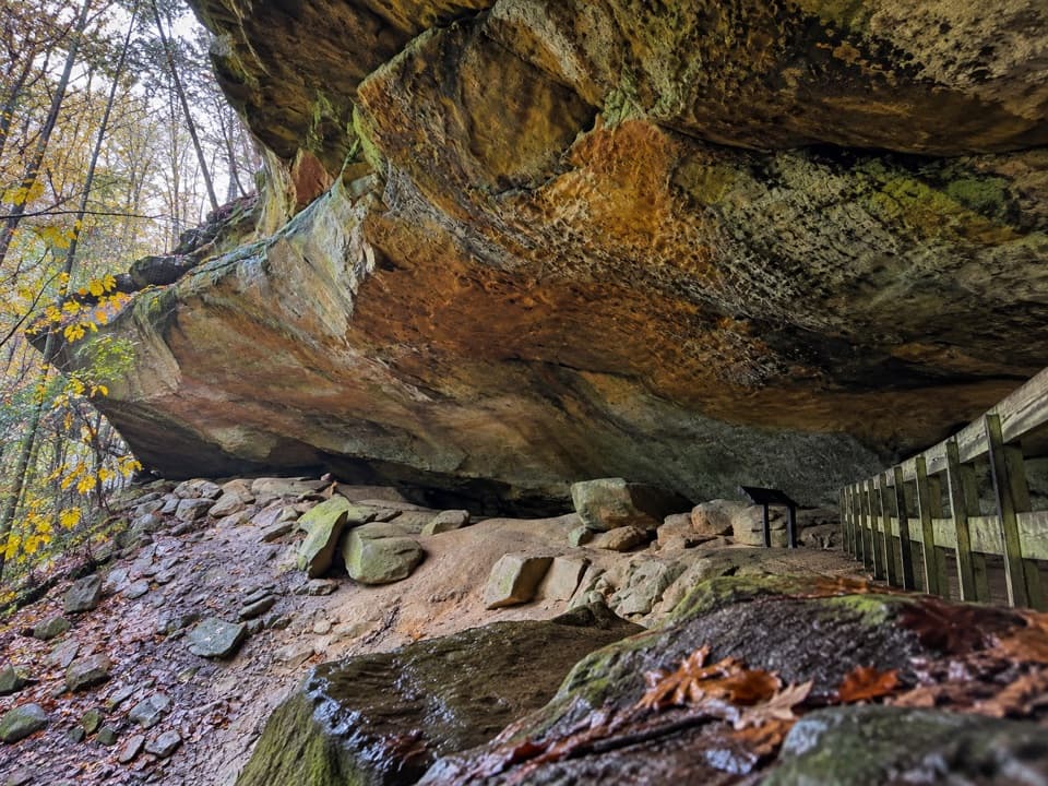
Ash Cave in Hocking Hills State Park

#2 of 21 sights in Hocking Hills

Sight · Hocking Hills State Park

Ash Cave

A vast sandstone cave, seasonal waterfall, and easy gorge walk.

Photo: Wikimedia Commons
Type
Sight
Nearest trail
0.3 mi
Audio stories
5 nearby
  • Trailhead
  • Parking
  • Restrooms
  • Scenic viewpoint

Hear the audio tour

Ash Cave

Overview

About Ash Cave

Why stop

  • The geology and long human history give the stop more than a quick view.

Heads up

  • The waterfall can be only a trickle after dry weather.

Map

Where it is

Loading the Hocking Hills map
Full map
SightAsh Cave39.39939, -82.54435
Keep this map with you offline in the Parkwolf app

Plan your stop

Before you go

Best time to go

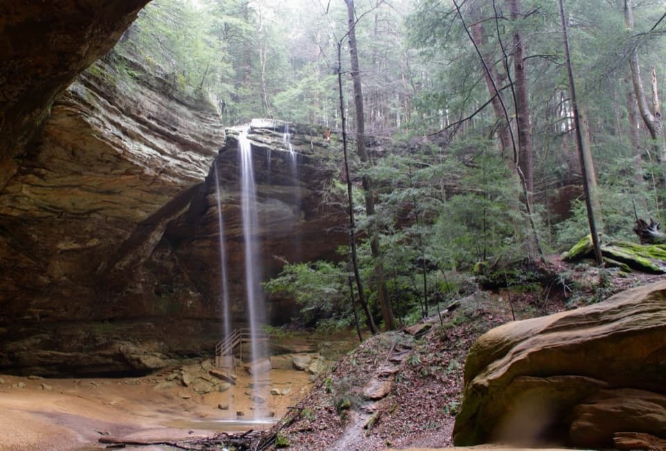
Water falls over the rim into the cave, but after dry weather it can shrink to a trickle. In winter it may freeze along the ledge. For the best sense of scale, frame the full overhang from the sandy floor with someone beneath it; the waterfall is a bonus, not a guarantee.

A park ranger sits on a dash-mounted phone, talking, as Parkwolf’s Tour Guide plays “Army Cutworm Moths: A Grizzly Bear Buffet” on Grand Loop Road below Dunraven Pass in Yellowstone
Parkwolf Tour GuideThe highest, rockiest slopes around here are a summer buffet for grizzly bears.

Hocking Hills Tour Guide

Your drive to Ash Cave, narrated.

Parkwolf is a GPS audio tour guide for Hocking Hills State Park. As you drive, it chimes in with what’s ahead: hidden gems, upcoming stops, history, geology, and wildlife, right through your car’s speakers.

Recorded for this place

Ash Cave
0:00 / 0:29
“Ash Cave is coming up, a sandstone amphitheater nearly seven hundred feet wide.”

Plays as you drive up to Ash Cave in the Parkwolf Hocking Hills Tour Guide.

More stories near here in the app

  • Ash Cave Fire Tower
  • The Walker behind the Trail
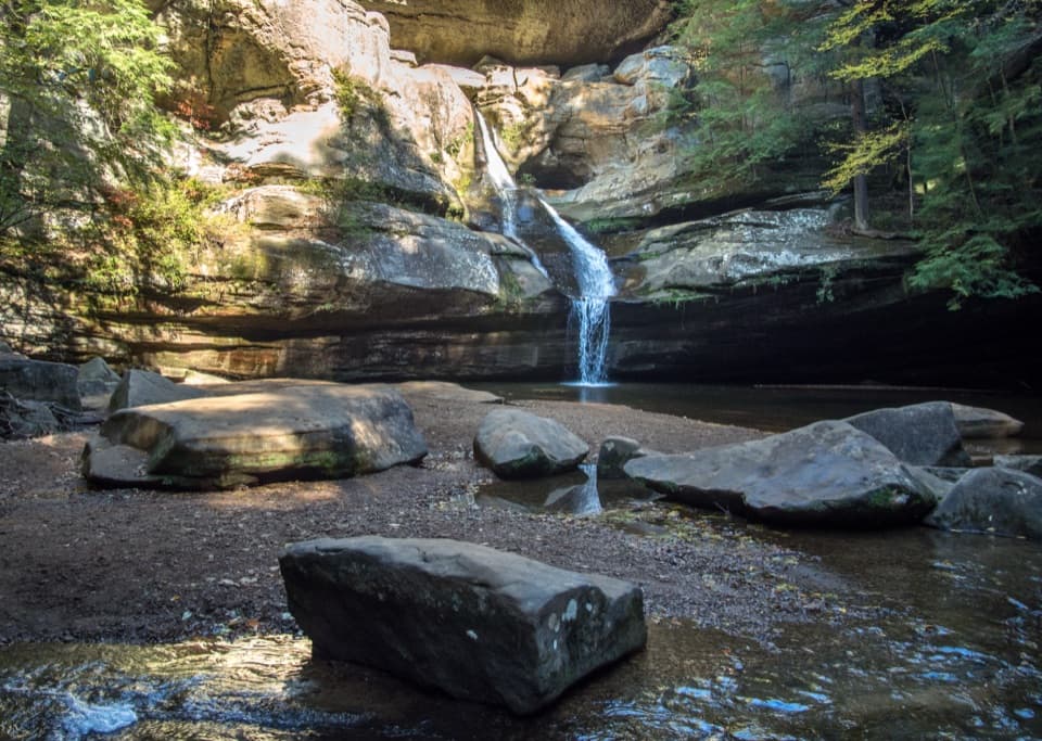
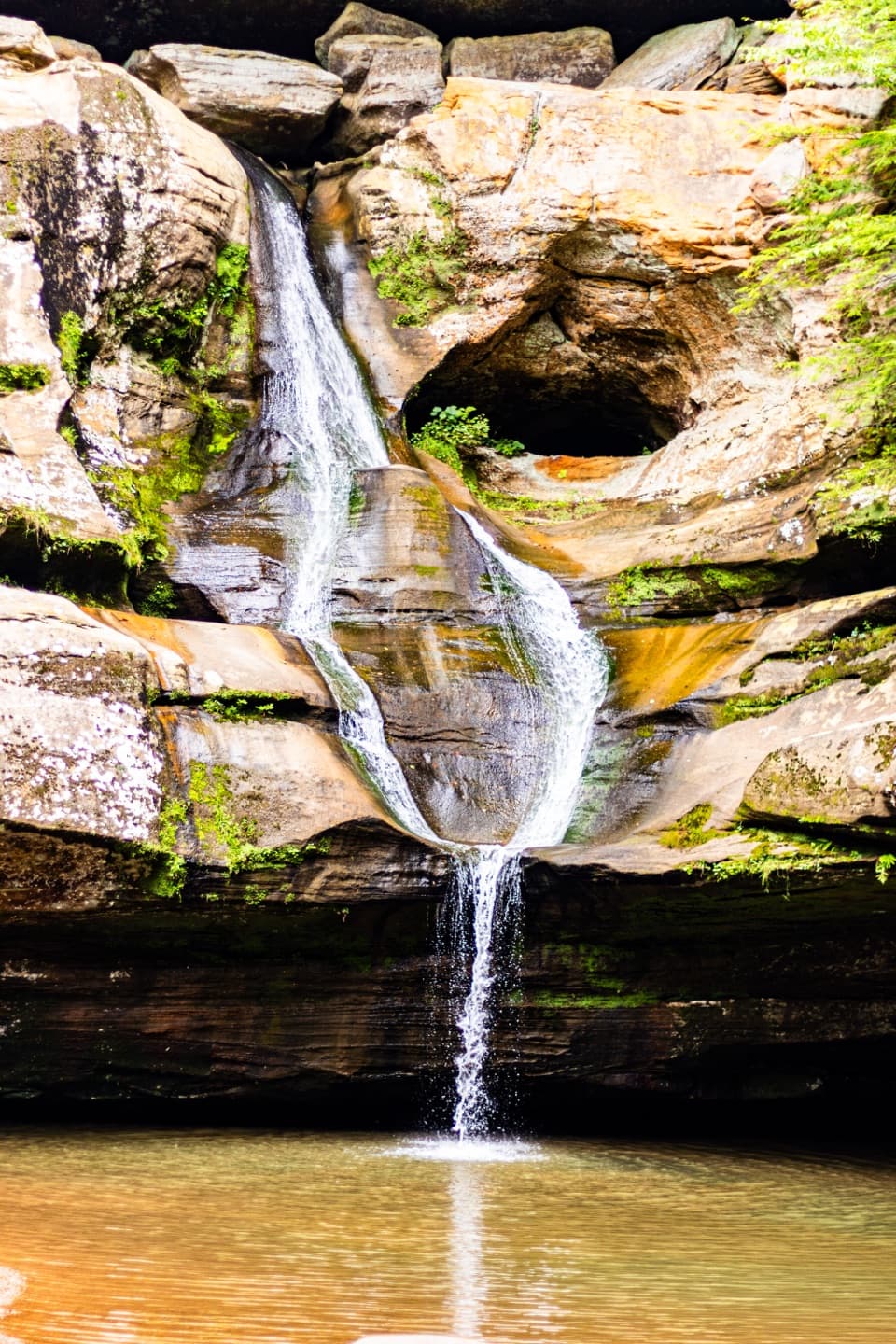
  • Cedar Falls
  • Whispering Cave and the Lodge
  • 22 audio storiesacross Hocking Hills’s roads, triggered by GPS as you drive
  • Wildlife heatmapsfor White-tailed Deer, Snapping Turtle, Chipmunk, and 9 more
  • Works offlinemaps, 18 trails, 29 places, and audio download before you lose signal
  • CarPlay readysimple controls built for the drive
★★★★★
“Fantastic app with many points of information… It’s great to just turn on while you’re driving and it gives you an audio tour of the national Park. We love it!!!!”
JMJamesApp Store review
Download Parkwolf on the App StoreGet Parkwolf on Google Play

4.7 from 8,600+ ratings

Guide

More about Ash Cave

Start at the cave floorAsh Cave is Ohio's largest recess cave: a horseshoe-shaped sandstone amphitheater nearly 700…

Ash Cave is Ohio's largest recess cave: a horseshoe-shaped sandstone amphitheater nearly 700 feet wide, set at the end of a short, wooded gorge. The broad overhang and sandy floor make this a standout stop even if you're here for only about half an hour. The separate rim trail adds a climb and a different angle above the cave.

Choose your routeThe gorge approach is about a quarter mile and is rated easy and wheelchair accessible.

The gorge approach is about a quarter mile and is rated easy and wheelchair accessible. The rim trail is separate and moderate. Visitors report different experiences on the return, including stairs and rough, sandy stretches, so don't assume the whole cave-and-rim outing is step-free. If accessible travel matters, check the route before branching onto the rim.

How the sandstone wore awayThe cave is carved into Black Hand Sandstone, rock laid down more than 350 million years ago.

The cave is carved into Black Hand Sandstone, rock laid down more than 350 million years ago. Its softer middle layer eroded faster than the harder layers above and below, leaving the enormous recess and the gorge around it.

The ash pile behind the nameSettlers named the cave for a huge ash deposit found inside: roughly 100 feet long, 30 feet…

Settlers named the cave for a huge ash deposit found inside: roughly 100 feet long, 30 feet wide and three feet deep. Its origin is still uncertain. Long-accumulated campfires, ceremonial use and saltpeter making have all been suggested, but none is settled as the explanation.

A natural gathering hallArchaeological finds connect the cave with Adena people, who used it between about 500 BCE and…

Archaeological finds connect the cave with Adena people, who used it between about 500 BCE and 100 CE; pottery, tools, corn cobs and animal bones have been found here. Much later, the shelter's acoustics made it a gathering place for community events and church services. A rock at the entrance, Pulpit Rock, served as the preacher's stand.

Pack a picnicThe parking area has restrooms, picnic tables and park shelters, making this an easy place to…

The parking area has restrooms, picnic tables and park shelters, making this an easy place to pair a short walk with a meal. Bring your own food; a concession isn't listed for the cave.

Wildlife

Wildlife in Hocking Hills

All Hocking Hills wildlife maps

Sighting maps show where each species has been reported across Hocking Hills. Wildlife moves, so no sighting is guaranteed.

Keep exploring

Near Ash Cave

See it all on the map

Trails nearby

More stops nearby

Parkwolf’s Hocking Hills ranking

Top sights in Hocking Hills

All 29 places
  1. 1Old Man's CaveSight
  2. 3Cedar FallsSight
  3. 4Rock HouseSight
  4. 5Conkles Hollow State Nature PreserveSight
  5. 6Whispering CaveSight
  6. 7Cantwell CliffsSight

Take Parkwolf to Hocking Hills.

The audio tour guide for the drive, plus offline maps, trails, and wildlife heatmaps for when the signal drops.

4.7 from 8,600+ ratings

Download Parkwolf on the App StoreGet Parkwolf on Google Play