Overview
About Conkles Hollow State Nature Preserve
Why stop
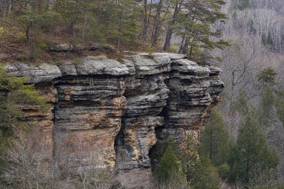
- The lower trail gets you beneath towering sandstone walls in about a mile.
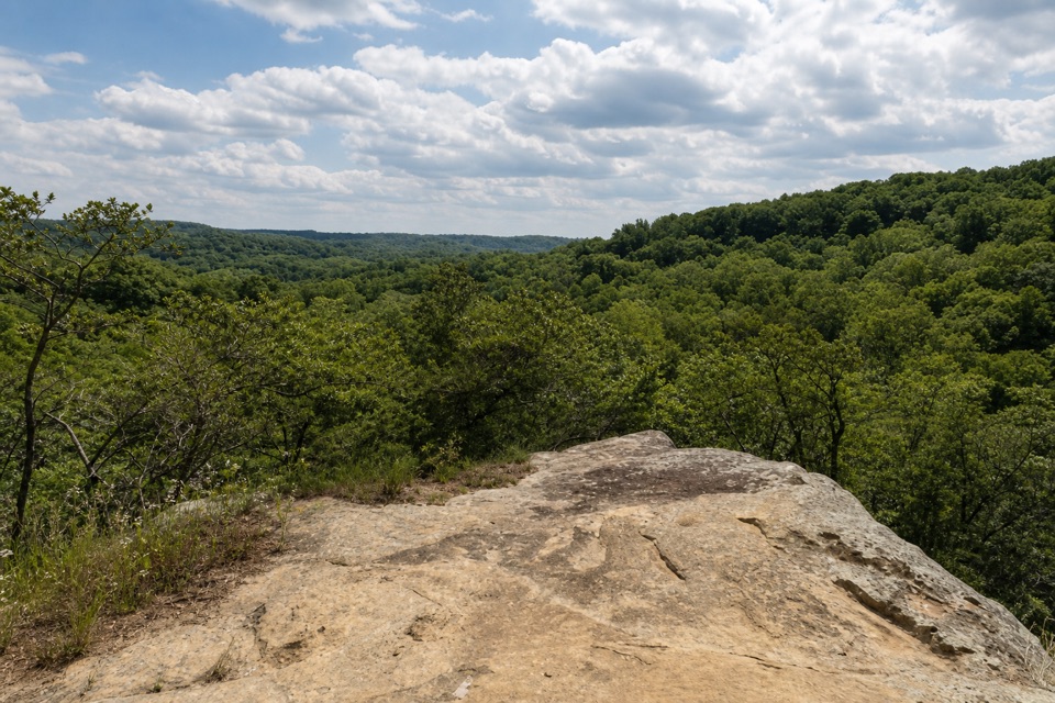
- The rim offers a very different view from above.
Heads up
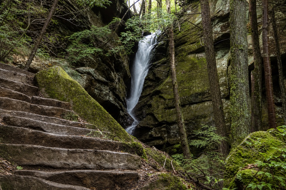
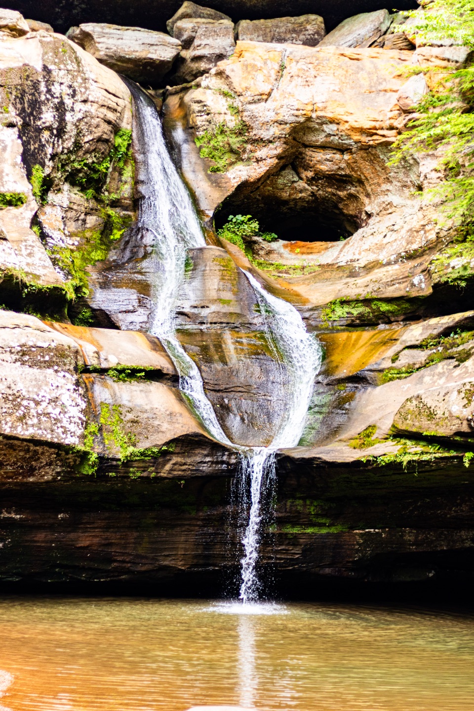
- The rim is steep and exposed, while the falls may be only a trickle in dry weather.
Map
Where it is

The highest, rockiest slopes around here are a summer buffet for grizzly bears.
Hocking Hills Tour Guide
Your drive to Conkles Hollow State Nature Preserve, narrated.
Parkwolf is a GPS audio tour guide for Hocking Hills State Park. As you drive, it chimes in with what’s ahead: hidden gems, upcoming stops, history, geology, and wildlife, right through your car’s speakers.
Recorded for this place
Conkles Hollow“You're nearing Conkles Hollow, a shaded gorge beneath sandstone walls nearly two hundred feet high.”
Plays as you drive up to Conkles Hollow State Nature Preserve in the Parkwolf Hocking Hills Tour Guide.
More stories near here in the app
- Chapel Cave from Big Pine Road
- Grandma Faye's Grocery and Carryout
- Breathing Through Skin
- John Glenn Astronomy Park
- 22 audio storiesacross Hocking Hills’s roads, triggered by GPS as you drive
- Wildlife heatmapsfor White-tailed Deer, Snapping Turtle, Chipmunk, and 9 more
- Works offlinemaps, 18 trails, 29 places, and audio download before you lose signal
- CarPlay readysimple controls built for the drive
“Fantastic app with many points of information… It’s great to just turn on while you’re driving and it gives you an audio tour of the national Park. We love it!!!!”


Guide
More about Conkles Hollow State Nature Preserve
Two very different ways into the gorgeConkles Hollow is a narrow sandstone gorge in the Hocking Hills region, with walls rising…
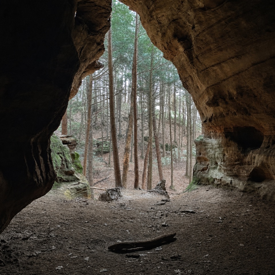
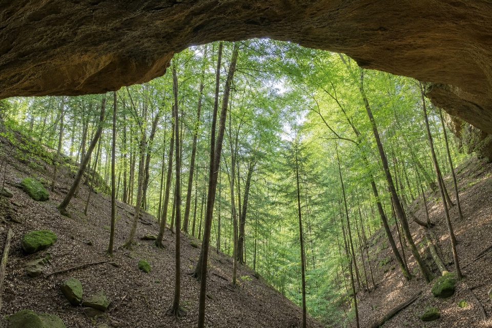
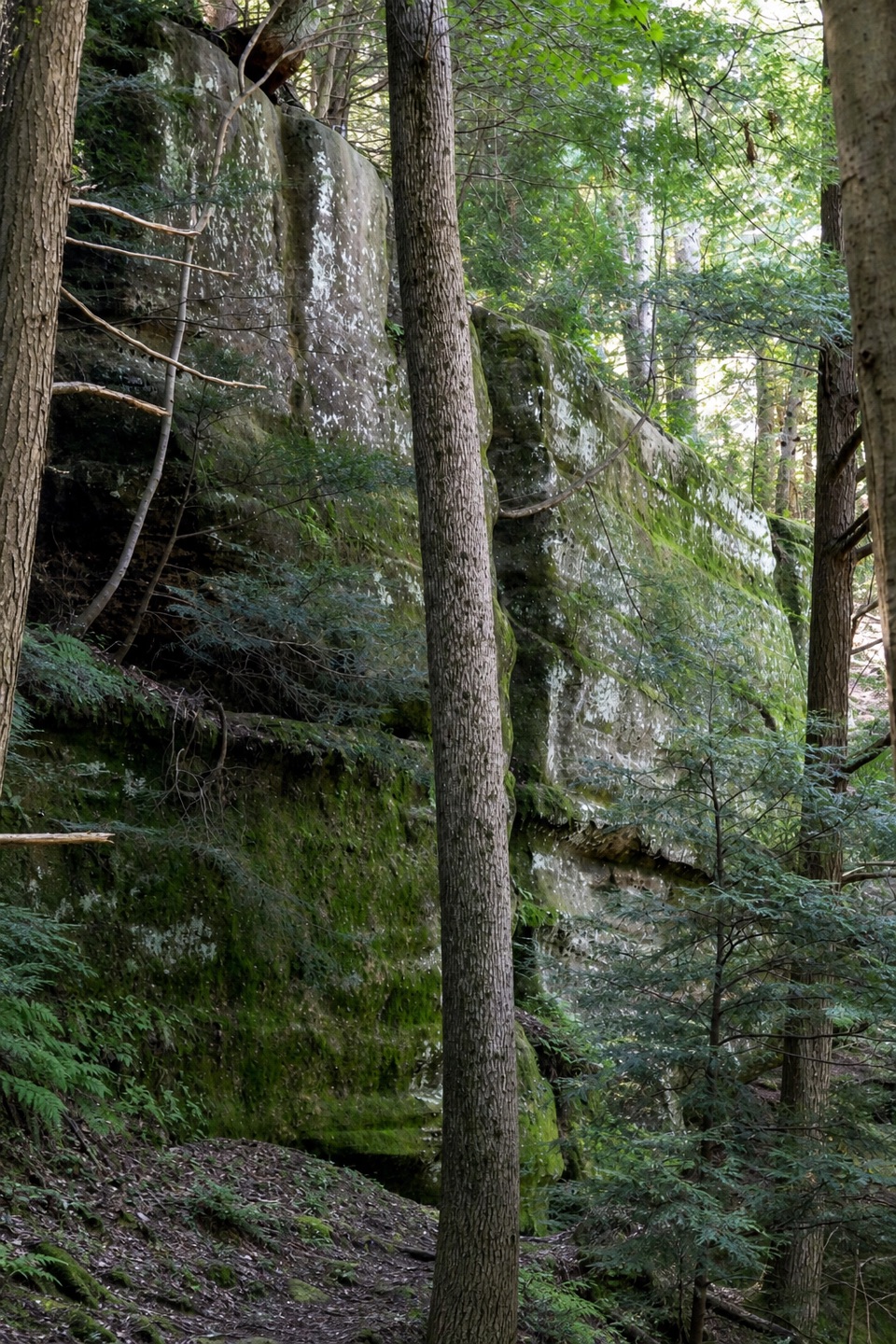
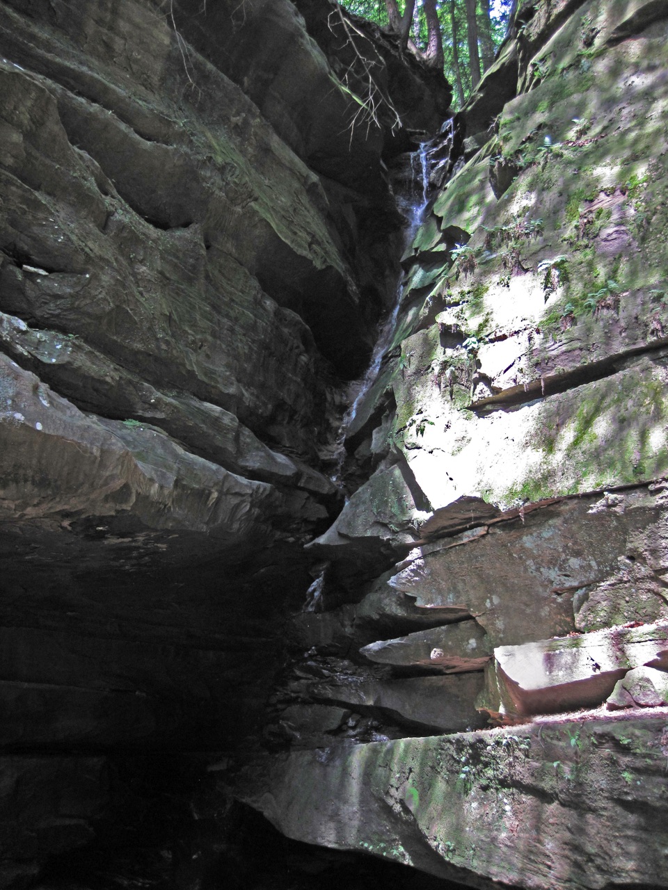
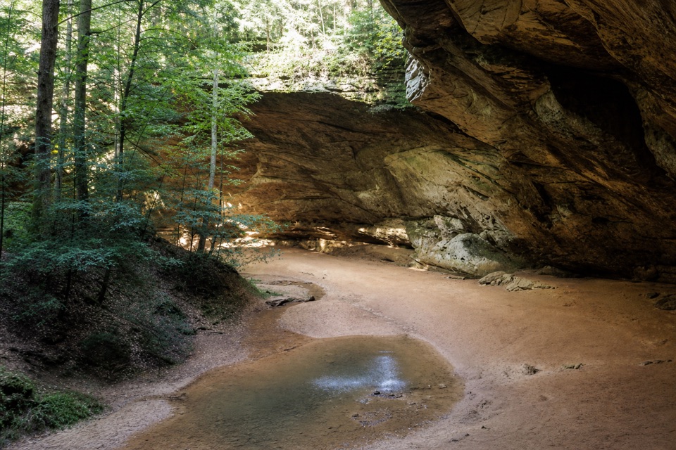
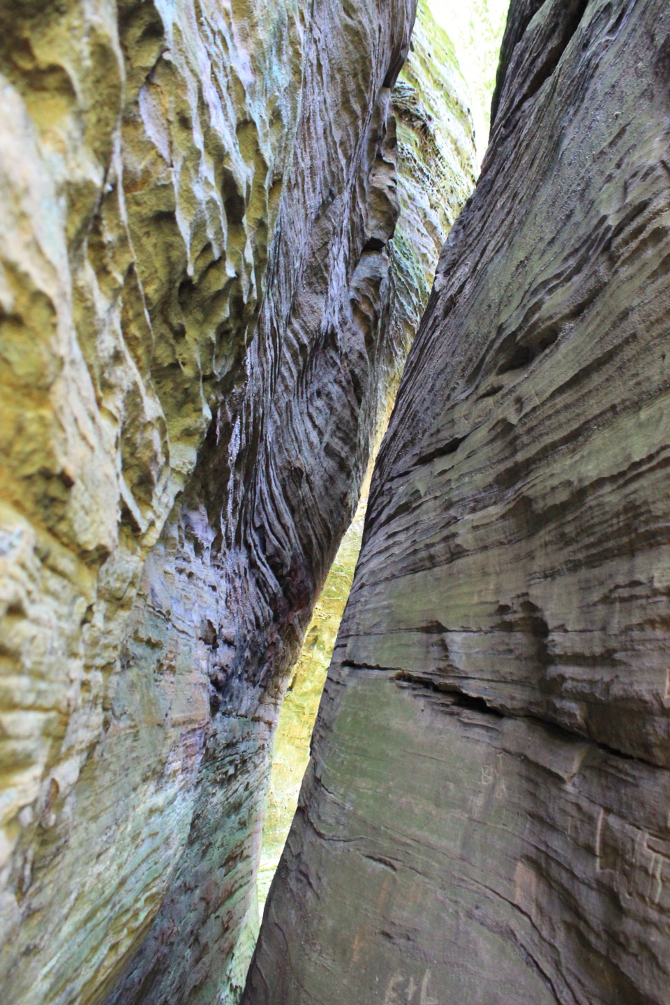
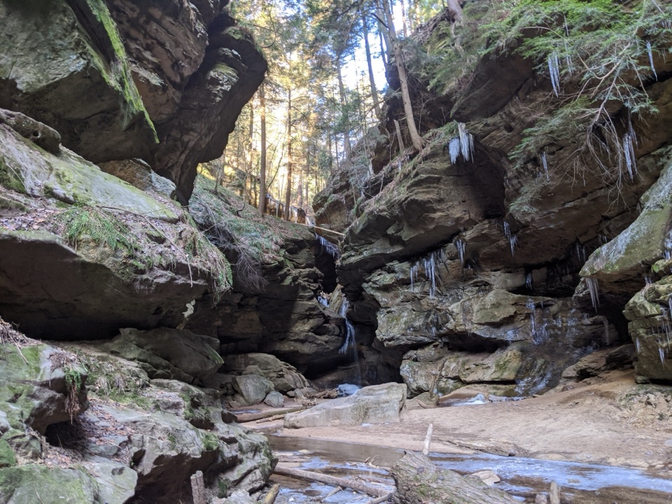
Conkles Hollow is a narrow sandstone gorge in the Hocking Hills region, with walls rising nearly 200 feet and pinching to about 100 feet across. You can walk the partly paved gorge floor or take a much steeper loop high along the rim. The lower walk is the better fit for most visitors; choose the rim only if steep stairs, rough footing and open cliff edges sound comfortable. Dogs are not allowed, and visitors must stay on designated trails.
The gorge trailThe Gorge Trail is about a mile round trip and follows a mostly level route through the cool,…
The Gorge Trail is about a mile round trip and follows a mostly level route through the cool, shaded bottom of the gorge. Much of it is paved, but the pavement ends before the falls; the last stretch is uneven rock and steps. The paved section is a useful partial-access option, but do not count on rolling all the way to the waterfall.
The rim loopThe Rim Trail circles the gorge from above.
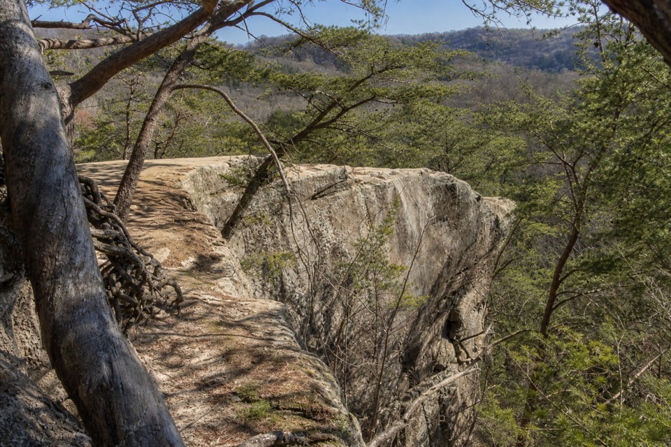
The Rim Trail circles the gorge from above. It is listed at two miles, though some walkers report a longer outing. Expect steep stairs, rocky footing and narrow, exposed sections along the cliff edge. The high views are the payoff, but this is a poor choice for anyone uncomfortable with heights, and it needs more care than the easier lower walk.
How the sandstone got hereThe walls are Black Hand sandstone, formed from coarse river sands laid down in deltas about…
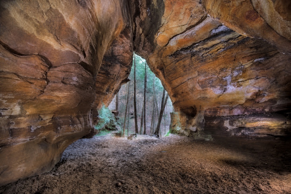
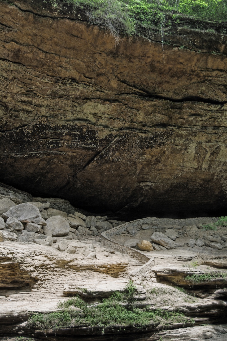
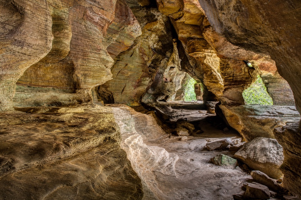
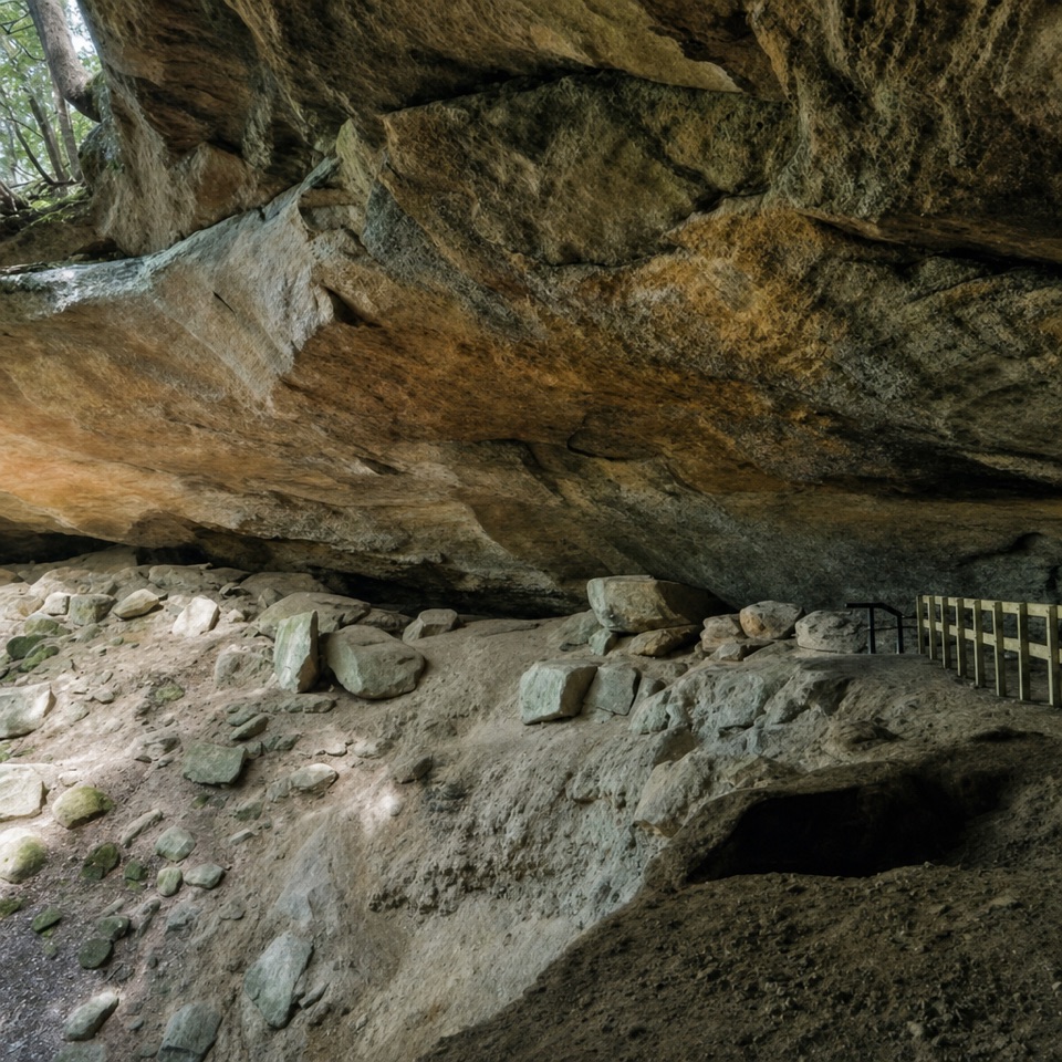
The walls are Black Hand sandstone, formed from coarse river sands laid down in deltas about 350 million years ago, when much of Ohio lay under an inland sea. Silt and clay buried the sand and pressed it into hard rock. Later uplift and erosion stripped away softer layers and opened the deep, narrow gorge you see today.
Waterfalls and the viewWater spills over the gorge walls at several points, but the flow can dwindle to a trickle in…
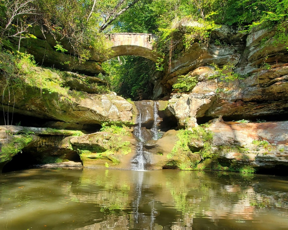
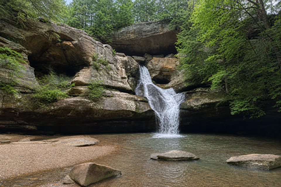
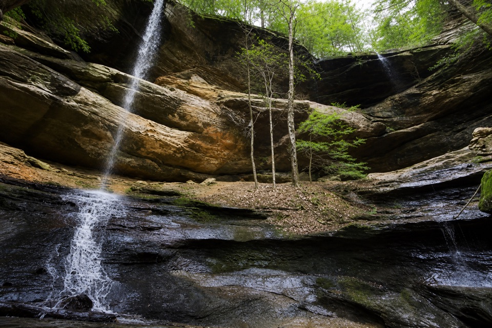
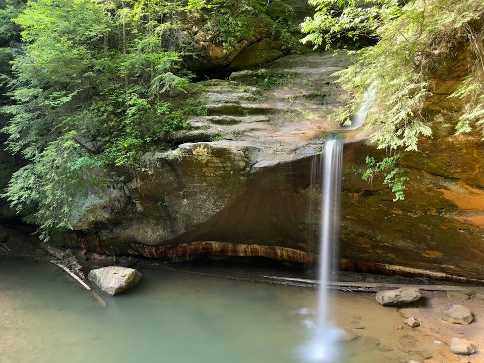
Water spills over the gorge walls at several points, but the flow can dwindle to a trickle in dry summer or fall weather. The rock walls and shaded creek are the more reliable reason to come. On the lower trail, look up to fit the overhangs and narrow gap of sky into the view; the wider outlooks require hiking the rim loop. Spring wildflowers and fall color add another layer to the preserve's contrast between the cool gorge floor and the sunnier cliff tops.
Keeping the preserve wildOhio bought the site in 1925 to protect its scenery, then dedicated it as a state nature…
Ohio bought the site in 1925 to protect its scenery, then dedicated it as a state nature preserve in 1977. Stay on marked trails; going off trail in an Ohio nature preserve requires a permit.
Wildlife
Wildlife in Hocking Hills
 15 sightingsWhite-tailed DeerMost seen around 7 AMSighting map
 83 sightingsSnapping TurtleMost seen around 5 PMSighting map
 13 sightingsChipmunkMost seen around 8 AMSighting map
 19 sightingsGray RatsnakeMost seen around 6 PMSighting map
 47 sightingsWatersnakeMost seen around 10 AMSighting map
 11 sightingsRing-necked SnakeMost seen around 7 PMSighting map
Sighting maps show where each species has been reported across Hocking Hills. Wildlife moves, so no sighting is guaranteed.