Parking
Use the signed Ash Cave parking area off OH-56. The marked gorge-and-rim loop starts from the lot and returns to it; restrooms and picnic facilities are nearby.

Hocking Hills State Park, OH
A short loop to Ash Cave's vast sandstone shelter.
Overview
Ash Cave Rim Trail is a roughly 0.55-mile loop from the Ash Cave lot on OH-56. Follow the paved gorge path to the cave, climb steep steps just beyond it, then return along the upper rim. The stairs, not the distance, make this moderate; allow about 40 minutes. If you want to avoid the stairs, visit the cave on the lower gorge path and retrace it. That lower section is marked wheelchair-accessible; the full loop isn't.
 Parkwolf’s verdictIs this the hike for you?
Map & elevation
Plan your hike

The highest, rockiest slopes around here are a summer buffet for grizzly bears.
Hocking Hills Tour Guide
Parkwolf is a GPS audio tour guide for Hocking Hills State Park. As you drive, it chimes in with what’s ahead: hidden gems, upcoming stops, history, geology, and wildlife, right through your car’s speakers.
Recorded for this trailhead
Ash Cave“Ash Cave is coming up, a sandstone amphitheater nearly seven hundred feet wide.”
Plays as you drive up to this trailhead in the Parkwolf Hocking Hills Tour Guide.
More stories near here in the app
“Fantastic app with many points of information… It’s great to just turn on while you’re driving and it gives you an audio tour of the national Park. We love it!!!!”


Trail guide
Stay on the marked one-way route. The steps take you from the cave floor to the rim, where the trail splits. Turn right to return to Ash Cave parking; left continues about 2.3 miles toward Cedar Falls, a different walk. Don't follow that branch if you're doing the short loop.
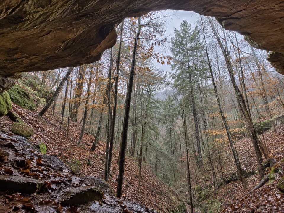
Ash Cave is a horseshoe-shaped recess in a cliff, about 700 feet wide, 100 feet deep and 90 feet high. The cave sits in Blackhand sandstone. Its softer middle band eroded away while the harder upper and lower layers held their shape, leaving the overhang above the sandy floor.
Early settlers found large deposits of ash on the cave floor, which gave the place its name. An 1837 account estimated 300 to 400 bushels; how the ash accumulated is still uncertain. Archaeological evidence supports the cave's use as shelter, and Shawnee travelers used this area between villages in present-day Ohio and West Virginia. A large slump block called Pulpit Rock served as a Sunday-worship pulpit before a local church was built.
A small tributary drops over the rim into a shallow pool; after a dry stretch, the waterfall can dwindle. In spring, look for trillium, Dutchman's breeches, trout lily and jack-in-the-pulpit on the shaded gorge floor. From the cave floor, frame the sandstone lip, waterfall and sandy floor together; the floor gives the overhang scale. The upper rim has a bird's-eye view into the cave.
Restrooms and picnic facilities are beside the Ash Cave lot. Dogs are allowed on a leash no longer than six feet. Trails open half an hour before sunrise and close half an hour after sunset.
Wildlife
 16 sightingsWhite-tailed DeerMost seen around 7 AMSighting map
 87 sightingsSnapping TurtleMost seen around 5 PMSighting map
 14 sightingsChipmunkMost seen around 8 AMSighting map
 19 sightingsGray RatsnakeMost seen around 6 PMSighting map
 47 sightingsWatersnakeMost seen around 10 AMSighting map
 11 sightingsRing-necked SnakeMost seen around 7 PMSighting map
Sighting maps show where each species has been reported across Hocking Hills. Wildlife moves, so no sighting is guaranteed.
Keep exploring
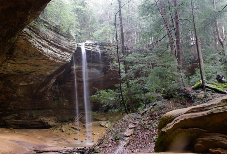 EasyAsh Cave Gorge Trail0.6 mi · 36 min · At the trailheadAn easy paved walk to a huge sandstone cave and seasonal falls.
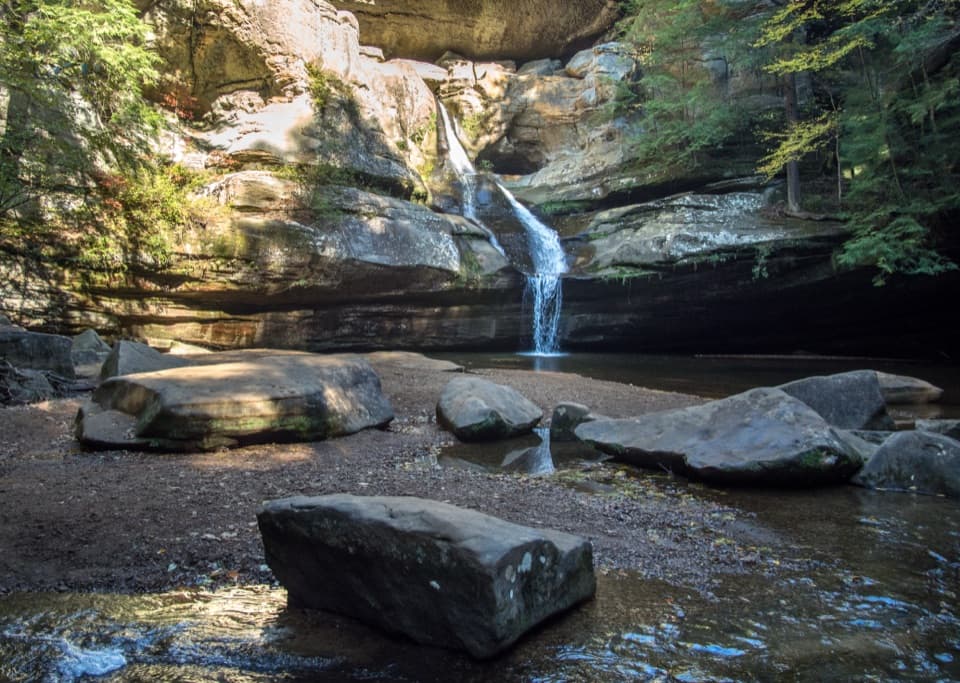 ModerateAsh Cave to Cedar Falls Trail6 mi · 4 hr · At the trailheadA cave-to-falls hike passes a 1934 fire tower.
 ModerateCedar Falls Trail0.6 mi · 40 min · 1.9 mi awayA short waterfall loop with uneven, stepped gorge trails.
 ModerateWhispering Cave Trail from the Lodge0.6 mi · 45 min · 2 mi awayFrom the Lodge, steep steps lead to a broad sandstone recess.
 ModerateBroken Rock Trail0.3 mi · 20 min · 2.6 mi awayA short, steep stair climb to a sandstone cleft waterfall
 ModerateRose Lake Trail2.5 mi · 1.5 hr · 2.7 mi awayA rooty 2.5-mile walk to loop Hocking Hills’ 17-acre lake.
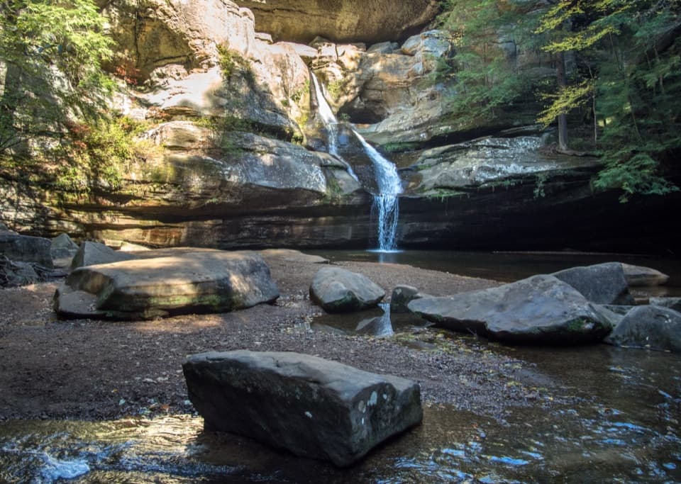 ModerateGorge Overlook Trail2.8 mi · 1.8 hr · 2.8 mi awayA point-to-point gorge walk from Old Man’s Cave to Cedar Falls.
 ChallengingGrandma Gatewood Trail5.3 mi · 3.5 hr · 2.8 mi awayA tough 5.3-mile crossing for waterfalls, caves and sandstone gorge.
 Sight · 0.3 mi awayAsh CaveA vast sandstone cave, seasonal waterfall, and easy gorge walk.
 Campground · 1.1 mi awayHocking Hills State Park Youth Group CampgroundA primitive tent base between Cedar Falls and Ash Cave.
 Sight · 1.1 mi awayAsh Cave Fire TowerA 1934 steel lookout with a weather-dependent climb and wooded views
 Sight · 1.8 mi awayWhispering FallsA narrow fall on Queer Creek, strongest after rain.
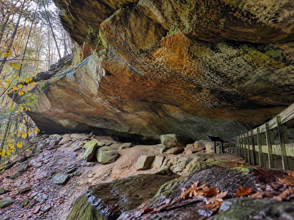 Sight · 1.9 mi awayWhispering CaveA vast sandstone roof shelters a 105-foot seasonal waterfall.
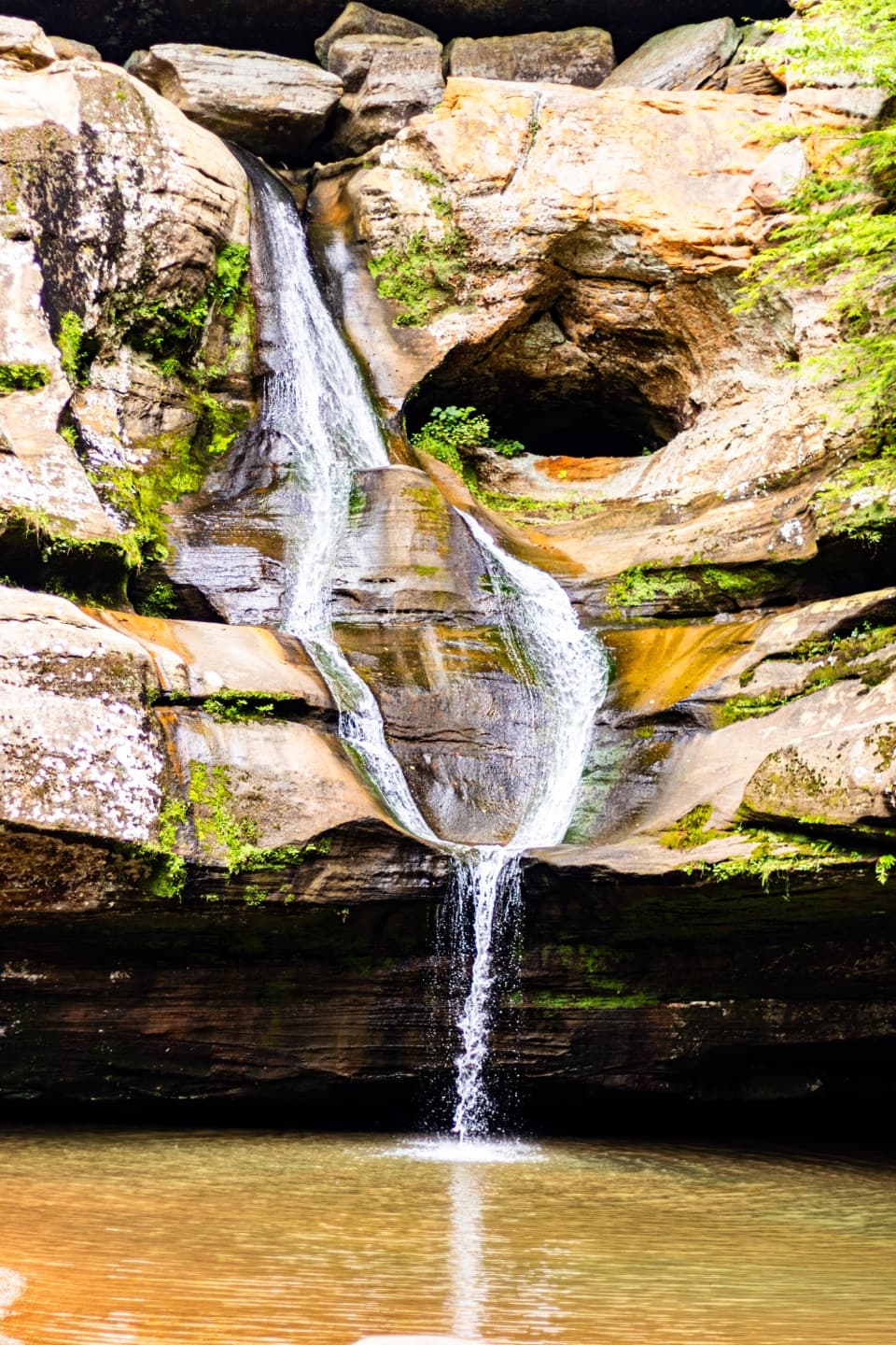 Sight · 2 mi awayCedar FallsA sandstone gorge walk where rain gives the waterfall its show.
 Restaurant · 2 mi awayRock House RestaurantA sit-down meal at the park lodge with a forest view.
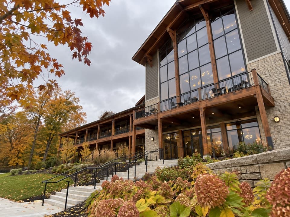 Lodging · 2 mi awayHocking Hills Lodge & Conference CenterAn 81-room stay with cabins, trail access and indoor-outdoor pools.
Parkwolf’s Hocking Hills ranking
The audio tour guide for the drive, plus offline maps, trails, and wildlife heatmaps for when the signal drops.