Moderate

Oertel Trail

Quick downtown-to-forest climb that punches above its length
Oertel Trail, Hot Springs National Park
Distance1.4 mi
Typical time45 min
DifficultyModerate
PetsAllowed

Overview

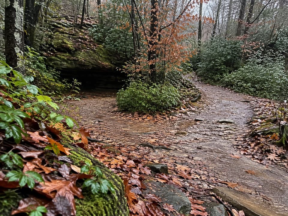
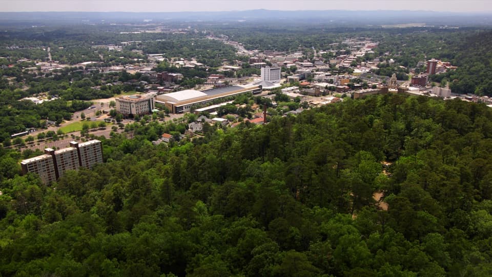
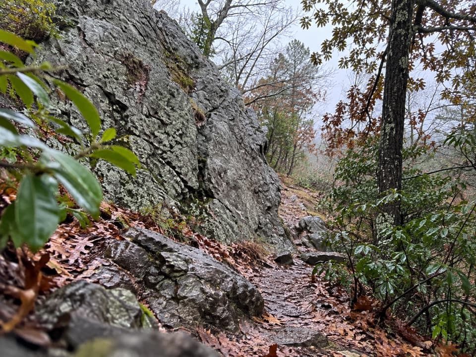
A classic “from town to woods” climb, the Oertel Trail (formerly the Dead Chief Trail) shoots you from Bathhouse Row into the Hot Springs/North Mountain trail network. It’s 1.4 miles one way, with grades that range from moderate to very steep, on a steep, bumpy gravel tread. Expect a legit workout in a short package. Pets are allowed on leash, and there are no trail-specific fees or reservations required.

Getting There & Route

From the Fordyce Visitor Center, ascend Stephen’s Balustrade to the Grand Promenade, continue up two more sets of steps to a gravel road, turn right, and walk to the iron gate—your trailhead. The path is shaded, mostly singletrack, and climbs steadily; plan on 30–60 minutes one way. Many hikers simply do it as a 2.8-mile out-and-back, but Oertel is also a handy connector: it links to Short Cut (toward Hot Springs Mountain) and Gulpha Gorge (toward the campground and further loops). Facilities like restrooms and water are available at the mountain summit area or the Gulpha Gorge Campground—both reached via connecting trails.

What You’ll See

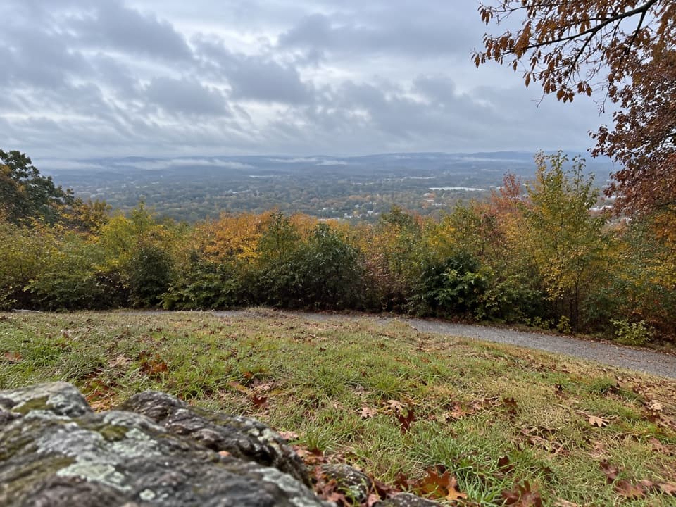
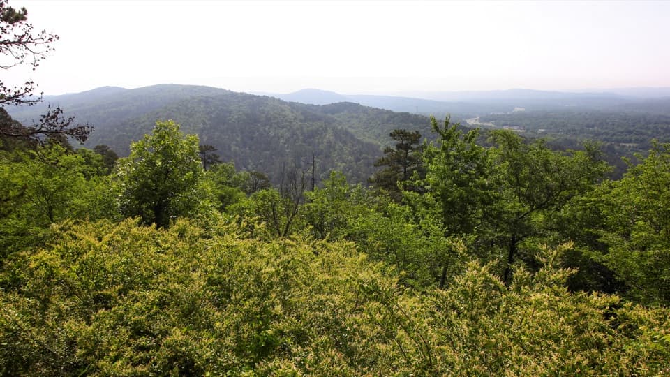
Don’t come for a single blockbuster overlook; come for the satisfying, shaded ascent and the quick access into a larger network. You’re hiking the Zig-Zag Mountains—part of the Ouachitas—where ancient ocean-born layers of sandstone, shale, chert, and novaculite were folded and faulted, leaving the tilted strata that give these hills their “zig-zag” name. The same geologic plumbing that fractured these rocks also circulates rainwater deep underground before it resurfaces as the park’s namesake hot springs; cooled spring water deposits tufa, a spongy rock you’ll spot around display springs in town.

Difficulty & Who It’s For

Oertel is short but stout. The typical grade across the route is moderate, but several segments are very steep with loose gravel. If you enjoy a quick cardio hit and don’t mind footing demands, it’s great. If you want wider views, consider extending via Oertel → Gulpha Gorge → Goat Rock for vistas, or take Short Cut toward the Hot Springs Mountain area.

Best Time to Hike

Open year‑round. The shaded forest makes warm days more tolerable, though the gravel steeps demand attention in any season. March tends to be the park’s busiest month, so aim for early morning or weekdays for more solitude. Shoulder seasons bring comfortable temps and softer light for photos beneath the canopy.

Tips

Wear sturdy footwear and consider trekking poles for the loose, bumpy grades. Pay close attention to signage at junctions—some hikers find markings less than obvious. The trail is not ADA accessible. Keep pets leashed and pack out waste.

Pros

  • Starts steps from Bathhouse Row via the historic Stephen’s Balustrade
  • Fastest link into multiple North Mountain connectors and amenities via spur trails

Cons

  • Short, steep gravel pitches with loose footing can be slick on descents
  • Wayfinding at a few junctions can feel a bit unclear

Parking

Park near the Fordyce Visitor Center; from there, take Stephen’s Balustrade to the Grand Promenade and follow steps and the gravel road to the iron gate trailhead. Parking is generally easy to find.

Caution

Very steep, bumpy gravel with loose rock—watch footing, especially downhill. Signage can be confusing at some junctions. Not ADA accessible.

The Parkwolf tour guide sitting on a phone mounted in a car

Parkwolf Tour Guide

Like a tour guide in your car.

Bring Hot Springs trail research into the car, with offline maps and stories that play as you drive.Download Parkwolf on the App Store