Parking
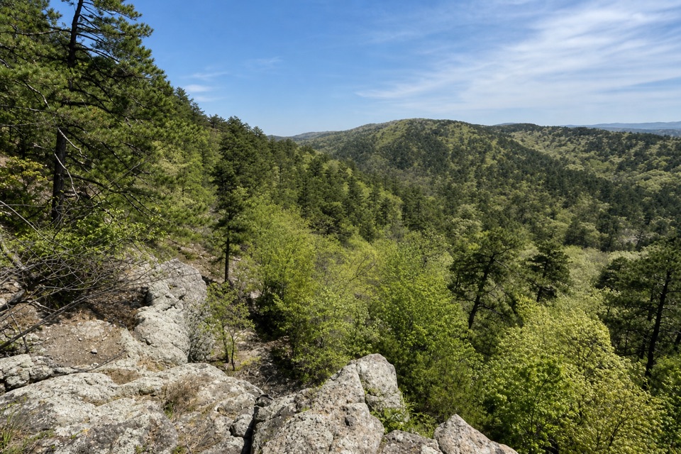
Start at the northeastern end on the Bathhouse Row side. The park map says off-street parking is abundant around Bathhouse Row and shows private lots across from and south of the Row; it does not mark a dedicated Oak Trail lot.
Hot Springs National Park, AR
A short dirt climb from Bathhouse Row into West Mountain’s trails.
Overview
Map & elevation
Plan your hike

The highest, rockiest slopes around here are a summer buffet for grizzly bears.
Hot Springs Tour Guide
Parkwolf is a GPS audio tour guide for Hot Springs National Park. As you drive, it chimes in with what’s ahead: hidden gems, upcoming stops, history, geology, and wildlife, right through your car’s speakers.
Recorded for this area
Superior Bathhouse Brewery: A Meal by the Springs“Bathhouse Row's north end is coming up, with Superior Bathhouse Brewery in the red-brick building. This former bathhouse opened in nineteen sixteen; now its thermal spring water goes into beer.”
Plays on the road 0.2 mi from the trailhead in the Parkwolf Hot Springs Tour Guide.
More stories near here in the app
“Fantastic app with many points of information… It’s great to just turn on while you’re driving and it gives you an audio tour of the national Park. We love it!!!!”


Trail guide
Oak Trail is a 1.0-mile point-to-point trail on West Mountain’s eastern slope, running from the Bathhouse Row side southwest to West Mountain Drive. Allow 25–45 minutes one way. It’s a useful short connector into the park’s mountain trail network, though it isn’t a loop: walking back on Oak makes the outing 2 miles.
The route is packed dirt and not ADA-compliant. Its northeastern end is mostly flat; the short steep section is between West Mountain Trail and West Mountain Drive, so expect the harder grade near the southwest end. Dogs are allowed on leash.
Begin at Oak’s northeastern end on the Bathhouse Row side; the route finishes at West Mountain Drive. The park map marks a Visitor Center, restrooms and off-street parking around Bathhouse Row, including private lots across from and south of the Row. It does not show a dedicated Oak Trail lot. Oak links into the wider West Mountain trail network, so you can continue onto another trail instead of retracing it if you have planned that route.
Wildlife
 71 sightingsWhite-tailed DeerMost seen around 6 PMSighting map
 11 sightingsGroundhogMost seen around 7 AMSighting map
 12 sightingsMexican Long-nosed ArmadilloMost seen around 8 PMSighting map
 16 sightingsTurkey VultureMost seen around noonSighting map
 40 sightingsCardinalMost seen around 7 AMSighting map
 27 sightingsSummer TanagerMost seen around 7 AMSighting map
Sighting maps show where each species has been reported across Hot Springs. Wildlife moves, so no sighting is guaranteed.
Keep exploring
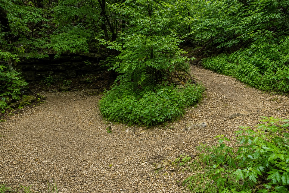 ModerateCanyon Trail0.7 mi · 36 min · 0.1 mi awayA short downtown climb that gets steep on the mountain side.
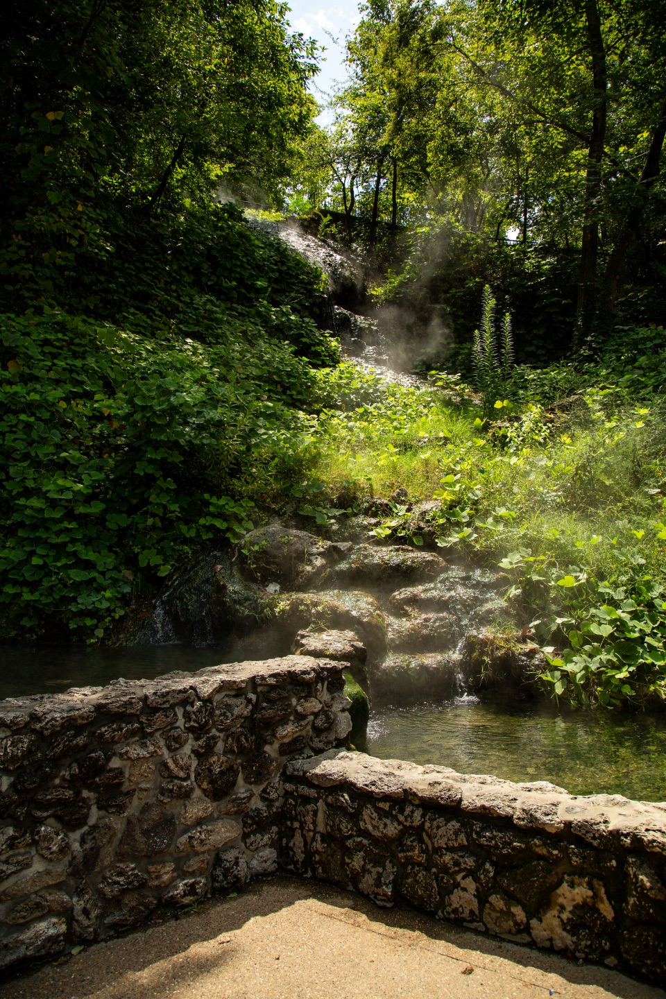 EasyTufa Terrace Trail0.3 mi · 24 min · 0.2 mi awayA short paved climb to pale tufa beside the thermal cascade
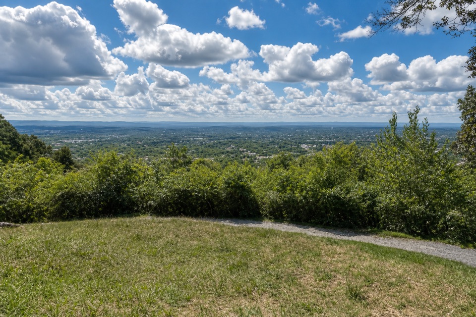 ModeratePeak Trail1.2 mi · 40 min · 0.2 mi awayA 400-foot climb rewards you with summit overlooks and a tower.
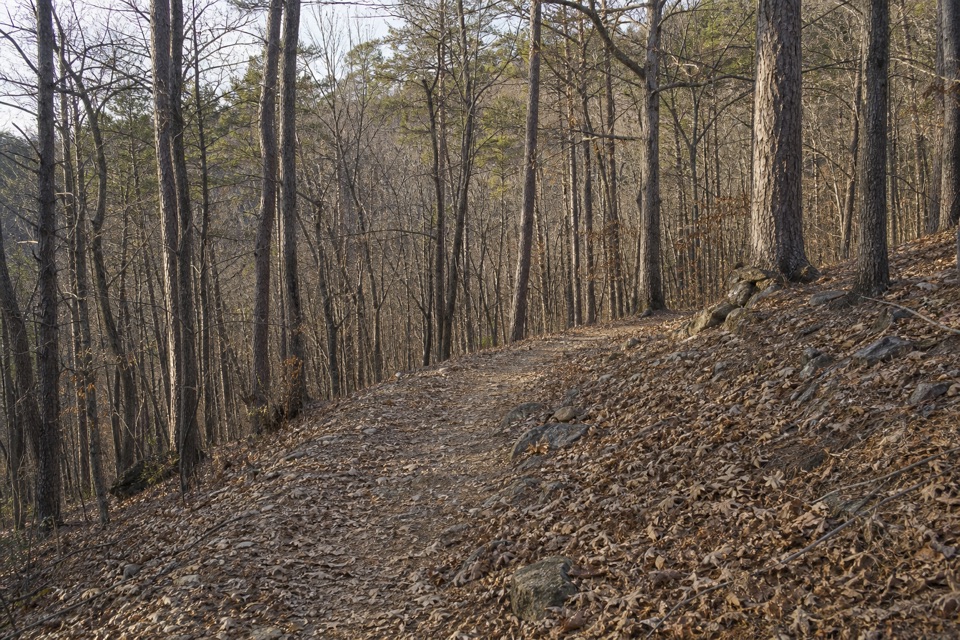 ModerateOertel Trail1.4 mi · 45 min · 0.3 mi awayA steep, bumpy gravel climb links downtown with mountain trails.
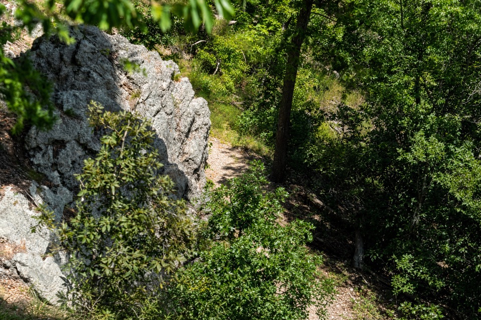 ModerateLower Dogwood Trail0.7 mi · 30 min · 0.3 mi awayBoulders mark a brief mountain climb before the loop drops downhill.
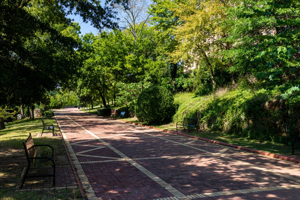 EasyGrand Promenade0.5 mi · 45 min · 0.3 mi awayBenches, spring views, and bathhouses on an easy half-mile walk.
 ModerateFloral Trail0.4 mi · 30 min · 0.4 mi awayA quick valley dip linking two North Mountain trails.
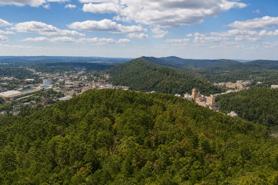 EasyHot Springs Mountain Trail1.7 mi · 1 hr · 0.5 mi awayAn easy loop above Hot Springs, with a view between the trees.
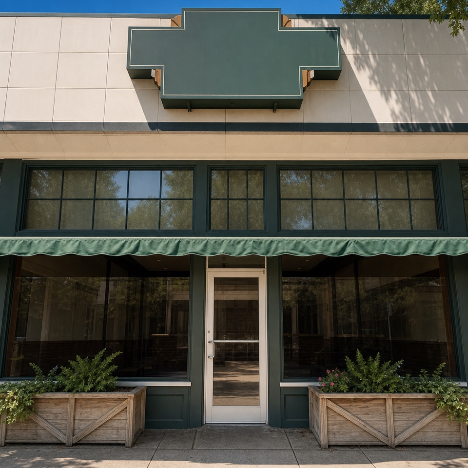 Restaurant · 0.1 mi awayThe Pancake ShopA 1940 breakfast institution a few steps from Bathhouse Row.
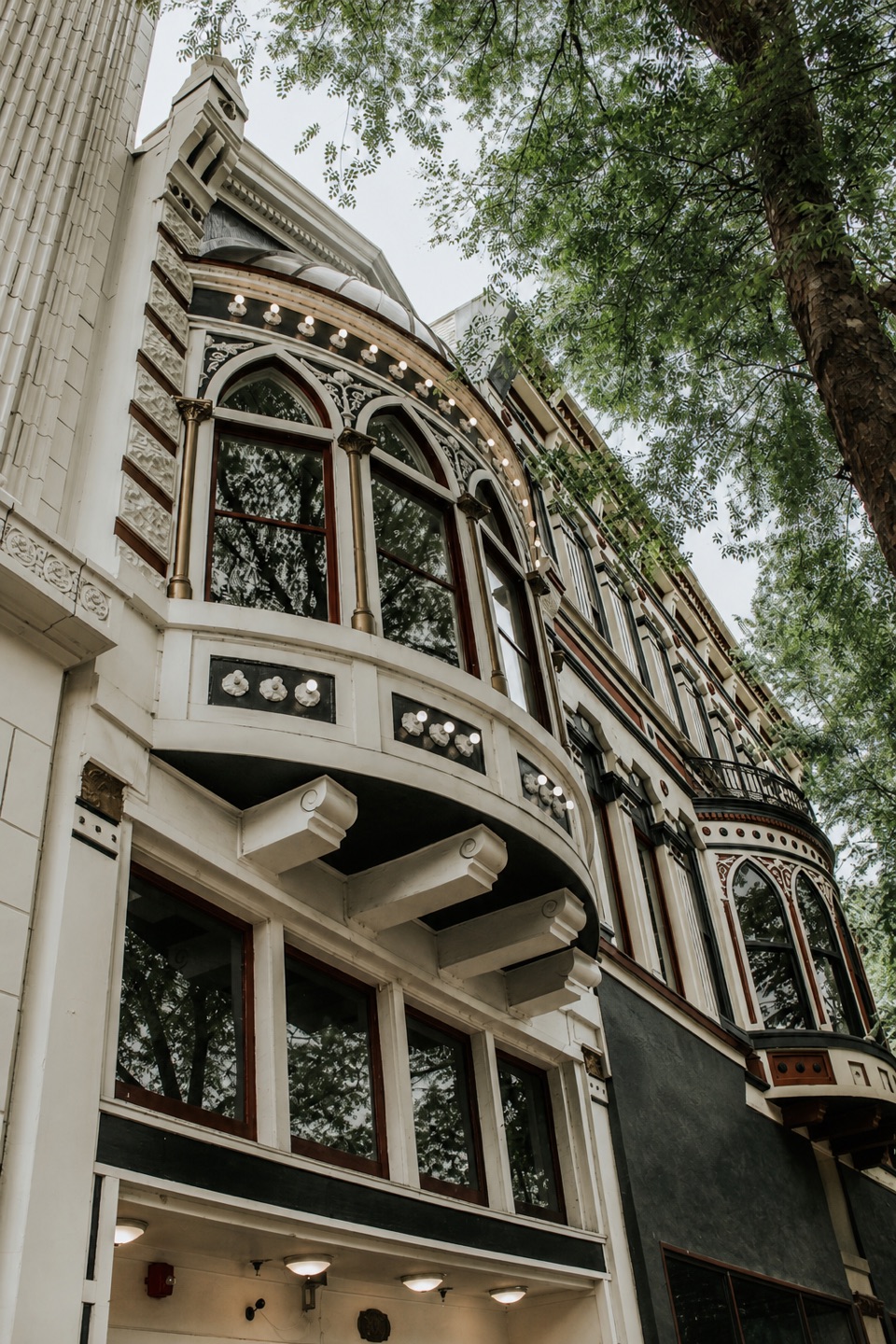 Restaurant · 0.2 mi awayThe Ohio ClubA 1905 bar with live music, a Reuben, and a casino past.
 Lodging · 0.2 mi awayThe Arlington Resort Hotel & SpaA 1924 landmark with twin towers and its own thermal bathhouse.
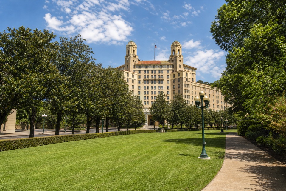 Sight · 0.2 mi awayArlington LawnA lawn where two earlier Arlington Hotels stood.
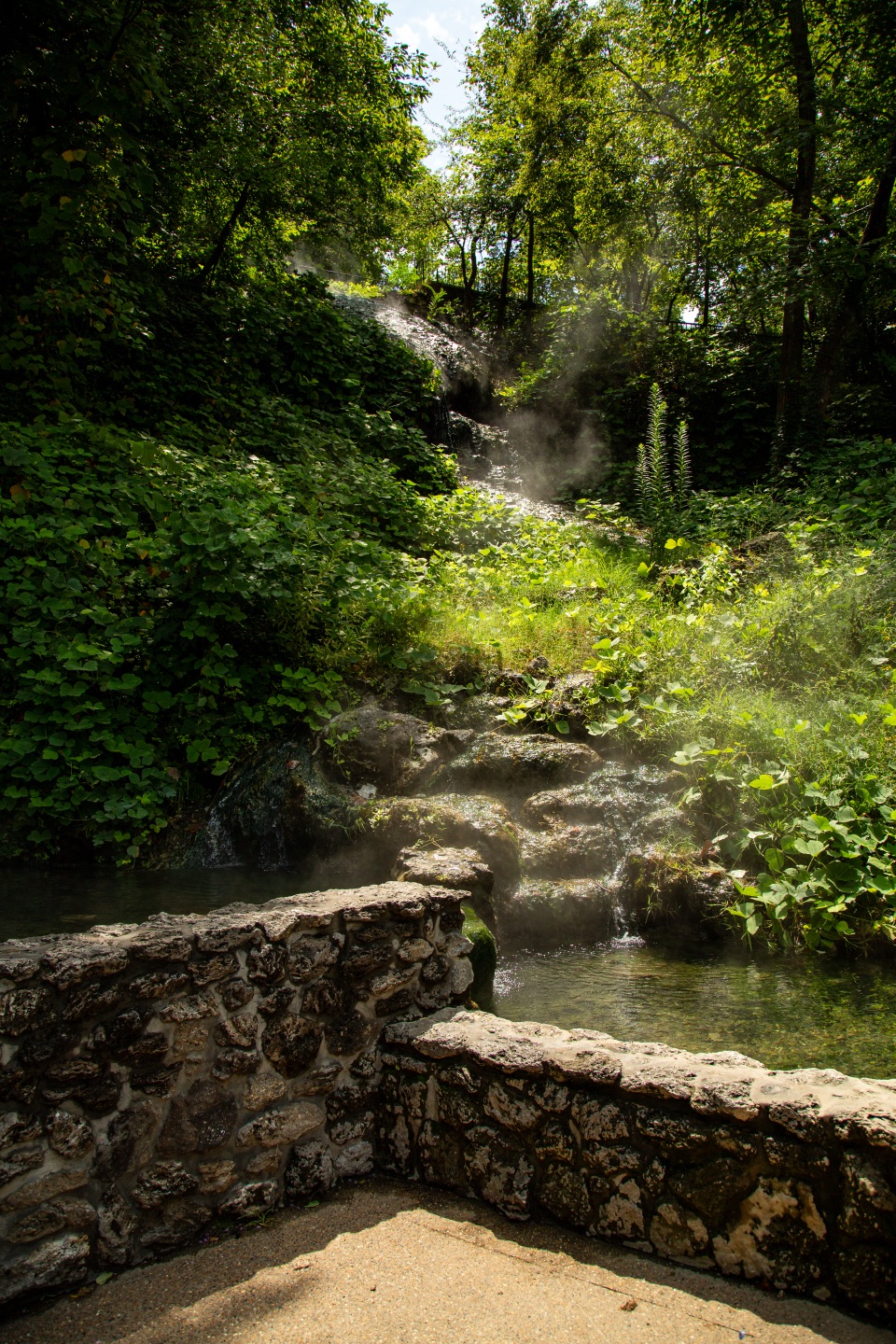 Sight · 0.2 mi awayHot Water CascadeThermal water tumbles through two pools along Bathhouse Row.
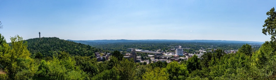 Sight · 0.2 mi awayWest Mountain Lower OverlookBathhouse Row and downtown open up below the road.
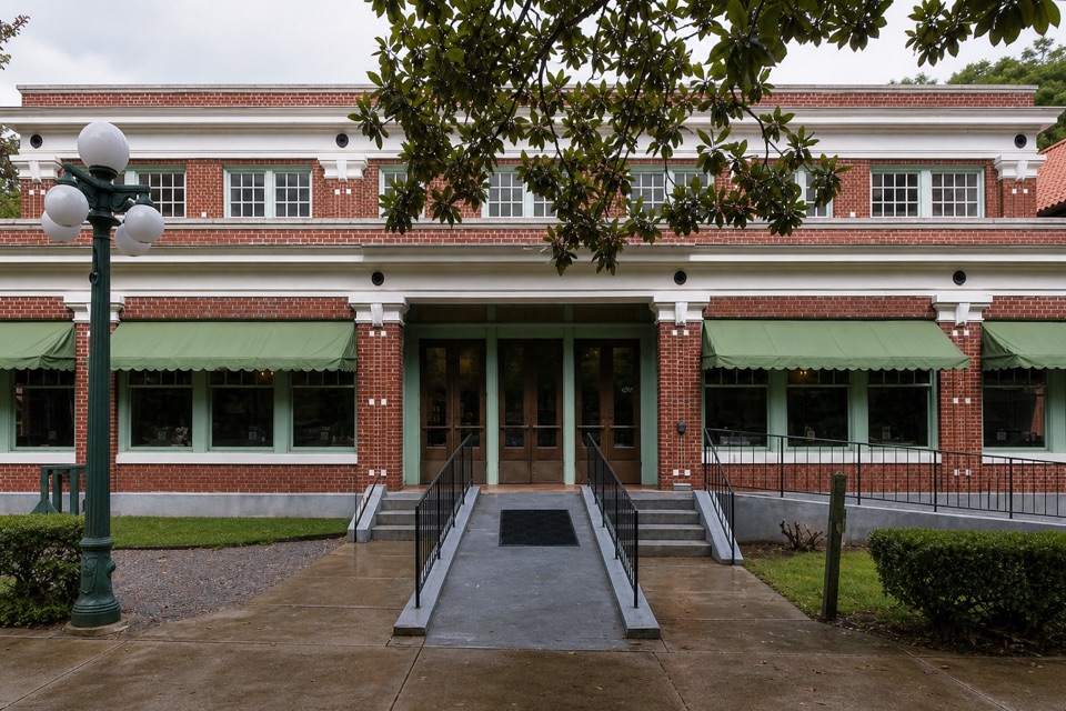 Restaurant · 0.2 mi awaySuperior Bathhouse BreweryThermal-water beer in a 1916 Bathhouse Row landmark.
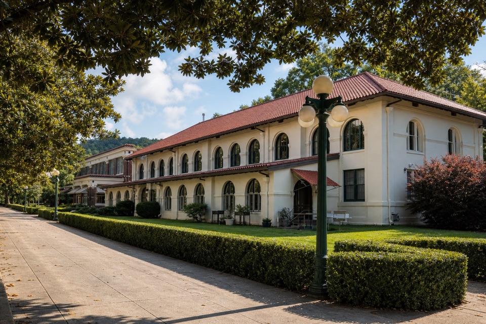 Lodging · 0.2 mi awayHale Bathhouse and Hotel HaleA historic bathhouse where spring water fills your private tub.
Parkwolf’s Hot Springs ranking

The audio tour guide for the drive, plus offline maps, trails, and wildlife heatmaps for when the signal drops.