Peak Trail in Hot Springs National Park

#6 of 19 trails in Hot Springs

Hot Springs National Park, AR

Peak Trail

A 400-foot climb rewards you with summit overlooks and a tower.

Length
1.2mi
Time
40min
Elev. change
371ft
Difficulty
Moderate
  • Dogs allowed
  • High point 1,004 ft

Hear the audio tour

Fordyce Bathhouse: Beyond the Baths

Overview

About Peak Trail

Why go

  • A direct climb to the tower and summit overlooks from the Grand Promenade
  • A short walk with a clear mountain-top payoff

Heads up

  • A sustained 12.6% typical grade makes the short distance feel harder

Map & elevation

The route

Loading the Hot Springs map
Full map
Elevation633–1,004 ft
TrailheadPeak Trail Trailhead (Grand Promenade)34.51464, -93.05273
Keep this map with you offline in the Parkwolf app

Plan your hike

Before you go

Parking

The trailhead is on the Grand Promenade, not at a separate roadside pullout. Privately owned off-street lots are across the street from and south of Bathhouse Row. From Fordyce Bathhouse, take the stairs behind Shell Fountain, turn left along the Promenade, and look for the trail on your right.

Safety

The ascent gains about 400 feet in 0.6 mile at a typical 12.6% grade. Park trails close daily from 10 p.m. to 5 a.m.; dogs must stay on a six-foot leash.

1 active Hot Springs alert

  • InfoBurn ban in parkA burn ban is in effect because of high fire danger. - In the campground and picnic areas, only gas and charcoal grills are currently allowed; the ban was enacted August 15, 2026.Official details
Hot Springs alerts
A park ranger sits on a dash-mounted phone, talking, as Parkwolf’s Tour Guide plays “Army Cutworm Moths: A Grizzly Bear Buffet” on Grand Loop Road below Dunraven Pass in Yellowstone
Parkwolf Tour GuideThe highest, rockiest slopes around here are a summer buffet for grizzly bears.

Hot Springs Tour Guide

Your drive to Peak Trail, narrated.

Parkwolf is a GPS audio tour guide for Hot Springs National Park. As you drive, it chimes in with what’s ahead: hidden gems, upcoming stops, history, geology, and wildlife, right through your car’s speakers.

Recorded for this trailhead

Fordyce Bathhouse: Beyond the Baths
0:00 / 0:29
“You're approaching Fordyce Bathhouse, now the visitor center and a free museum. I'd start here to see what a bathhouse visit used to involve.”

Plays as you drive up to this trailhead in the Parkwolf Hot Springs Tour Guide.

More stories near here in the app

  • Superior Bathhouse Brewery: A Meal by the Springs
  • Arlington Lawn and Hot Water Cascade
  • West Mountain: Town Views and a Stone Shelter
  • Buckstaff and Quapaw: Choose Your Soak
  • 18 audio storiesacross Hot Springs’s roads, triggered by GPS as you drive
  • Wildlife heatmapsfor White-tailed Deer, Groundhog, Mexican Long-nosed Armadillo, and 13 more
  • Works offlinemaps, 19 trails, 33 places, and audio download before you lose signal
  • CarPlay readysimple controls built for the drive
★★★★★
“Fantastic app with many points of information… It’s great to just turn on while you’re driving and it gives you an audio tour of the national Park. We love it!!!!”
JMJamesApp Store review
Download Parkwolf on the App StoreGet Parkwolf on Google Play

4.7 from 8,600+ ratings

Trail guide

Hiking Peak Trail

The climb to the towerPeak Trail is a short out-and-back from the Grand Promenade to Hot Springs Mountain Tower and…

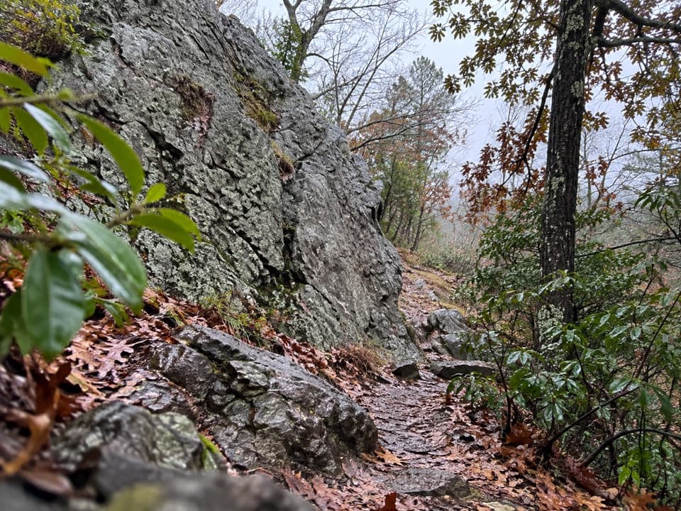
Peak Trail is a short out-and-back from the Grand Promenade to Hot Springs Mountain Tower and the summit. The trail map lists 0.6 mile one way, so the return to your start makes this a 1.2-mile walk. The climb gains about 400 feet; the average round trip takes roughly 40 minutes before stops. This is a direct ascent, not a long ridge walk, and the tower and summit overlooks are the payoff.

Find the startThe trailhead is near the center of the Grand Promenade.

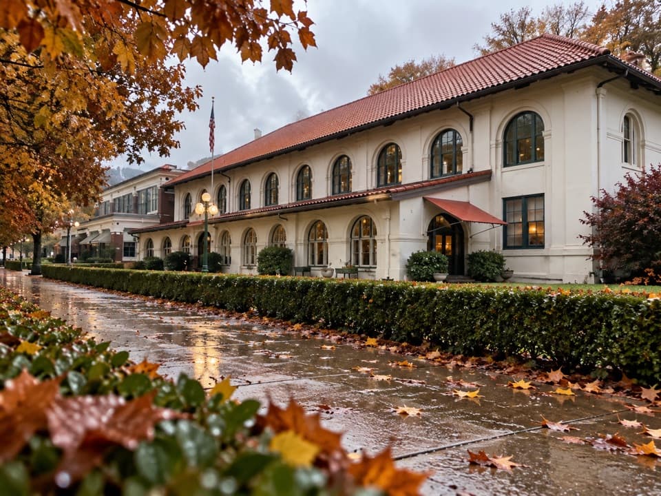
The trailhead is near the center of the Grand Promenade. From Fordyce Bathhouse, take the stairs behind Shell Fountain, turn left along the Promenade, and look for Peak Trail on the right. Downtown parking is the practical starting point: privately owned off-street lots sit across the street from and south of Bathhouse Row.

A short, steady climbThe first part is paved, then the surface changes to gravel. The typical grade is 12.

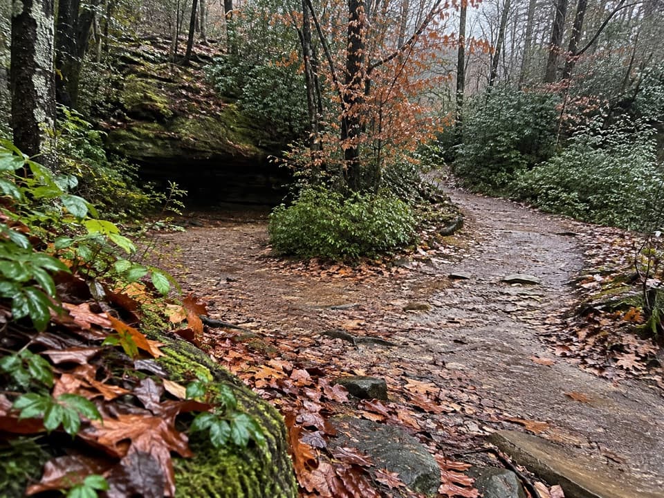
The first part is paved, then the surface changes to gravel. The typical grade is 12.6%, so the short mileage understates the effort; expect a continuous uphill walk rather than a gentle stroll. The hike is moderate, especially for anyone unaccustomed to steep grades. The route is open year-round, though park trails close overnight from 10 p.m. to 5 a.m.

Take time at the topAt the summit you can visit the tower, use the overlooks, or picnic.

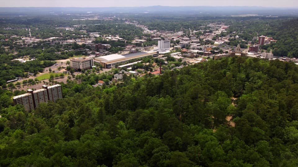
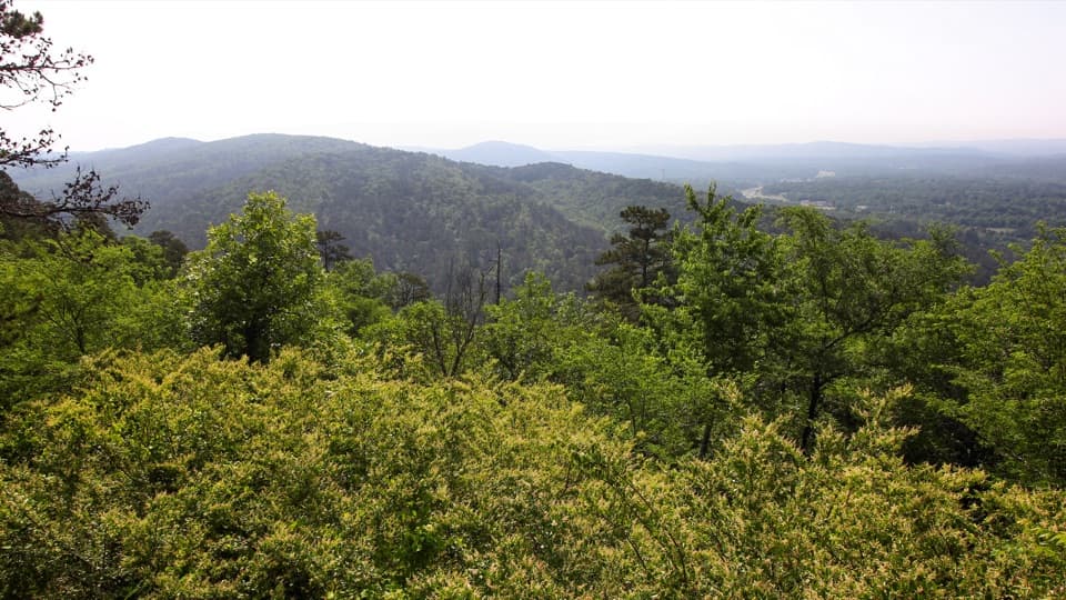
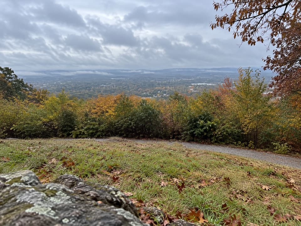
At the summit you can visit the tower, use the overlooks, or picnic. The hike itself has no activity fee or reservation requirement; riding the tower elevator to its observation deck costs extra. Leashed dogs are allowed, with a six-foot leash required. For the broad valley view, leave a little of the grassy clearing in the foreground so the photo shows where you are, not just the horizon. Honeysuckle and Hot Springs Mountain trails connect nearby if you want a longer network walk, but they are separate routes and are not included in this mileage.

Wildlife

Wildlife in Hot Springs

All Hot Springs wildlife maps

Sighting maps show where each species has been reported across Hot Springs. Wildlife moves, so no sighting is guaranteed.

Keep exploring

Near Peak Trail

See it all on the map

Trails that start nearby

Places near the trailhead

Parkwolf’s Hot Springs ranking

Top-rated trails in Hot Springs

All 19 trails
  1. 1Grand PromenadeEasy · 0.5 mi
  2. 2Goat Rock TrailModerate · 2.2 mi
  3. 3Hot Springs Mountain TrailEasy · 1.7 mi
  4. 4Tufa Terrace TrailEasy · 0.3 mi
  5. 5Balanced Rock TrailModerate · 2 mi
  6. 7Sunset TrailChallenging · 9.2 mi

Take Parkwolf to Hot Springs.

The audio tour guide for the drive, plus offline maps, trails, and wildlife heatmaps for when the signal drops.

4.7 from 8,600+ ratings

Download Parkwolf on the App StoreGet Parkwolf on Google Play