Parking
Use the Sunset Trail parking area on Cedar Glades Road; the trailhead is across the road. Visitors report limited spaces.

#5 of 19 trails in Hot Springs
Hot Springs National Park, AR
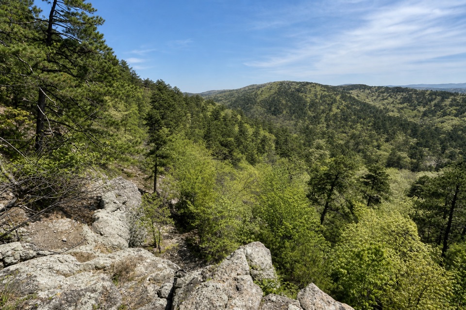
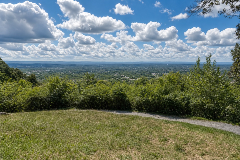
A modest outcrop with wide views across the Ouachita ridges.
Overview
Map & elevation
Plan your hike

The highest, rockiest slopes around here are a summer buffet for grizzly bears.
Hot Springs Tour Guide
Parkwolf is a GPS audio tour guide for Hot Springs National Park. As you drive, it chimes in with what’s ahead: hidden gems, upcoming stops, history, geology, and wildlife, right through your car’s speakers.
Recorded for this trailhead
Cedar Glades Trailhead: Balanced Rock“You're coming up on the Cedar Glades Road trailhead for Balanced Rock, a hike for ridge views rather than a huge rock formation.”
Plays as you drive up to this trailhead in the Parkwolf Hot Springs Tour Guide.
More stories near here in the app
“Fantastic app with many points of information… It’s great to just turn on while you’re driving and it gives you an audio tour of the national Park. We love it!!!!”


Trail guide
Balanced Rock is a short out-and-back on the Sugarloaf ridge, reached from Cedar Glades Road by following Sunset Trail to its Balanced Rock spur. Plan on about 2 miles round trip and roughly 1 to 1.5 hours. The payoff is a Novaculite outcrop and an open look over the wooded Ouachita ridges. I’d choose it for the view and a manageable climb; the rock itself is smaller and easier to miss than its name suggests.
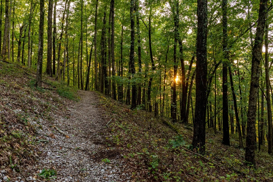
Park at the Sunset Trail lot on Cedar Glades Road and cross to the trailhead. The first quarter mile is the work: a steep, rocky climb with loose footing. After that, the walk eases into more level, wooded trail toward the junction. Turn right there for Balanced Rock; the left branch continues Sunset Trail. Keep to the orange blazes, since false spurs leave the maintained route and can lead onto private property.
The short spur ends among large, blocky rocks, with the wider view opening around them across the park and the Ouachita ridges. Some visitors pass the formation without spotting it right away, so take a moment to look around at the end of the spur. For a photo, put the rough Novaculite blocks in the foreground with the ridges behind them. This route does not loop; return the same way.
Balanced Rock is an outcrop of Arkansas Novaculite, a hard, dense rock made mostly of tiny quartz crystals. The material formed in a deep-ocean setting, then the layers were folded and lifted as the Ouachita Mountains rose during continental collision roughly 300 million years ago. That is why hard rock appears on these high ridges, broken into the blocky outcrops you see at the destination.
The parking area is across Cedar Glades Road from the trailhead, and visitors report limited spaces. Dogs are allowed on park trails on a leash no longer than six feet; pick up after them. There is no entrance fee for the park.
Wildlife
 71 sightingsWhite-tailed DeerMost seen around 6 PMSighting map
 11 sightingsGroundhogMost seen around 7 AMSighting map
 12 sightingsMexican Long-nosed ArmadilloMost seen around 8 PMSighting map
 16 sightingsTurkey VultureMost seen around noonSighting map
 40 sightingsCardinalMost seen around 7 AMSighting map
 27 sightingsSummer TanagerMost seen around 7 AMSighting map
Sighting maps show where each species has been reported across Hot Springs. Wildlife moves, so no sighting is guaranteed.
Keep exploring
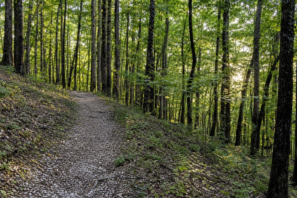 ModerateFordyce Peaks Trail5.8 mi · 3.5 hr · At the trailheadA 5.8-mile out-and-back to views of the Fordyce Peaks.
 ModeratePullman Trail1.6 mi · 1.2 hr · 0.9 mi awayA steep wooded link into the Northwoods trail network.
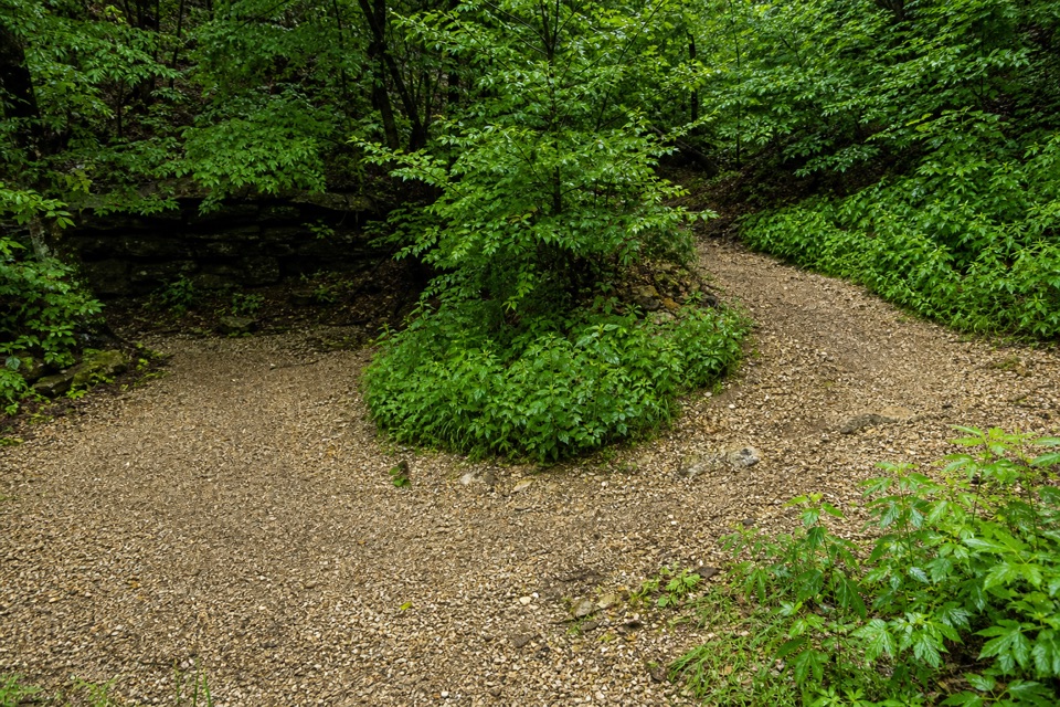 ModerateCanyon Trail0.7 mi · 36 min · 0.9 mi awayA short downtown climb that gets steep on the mountain side.
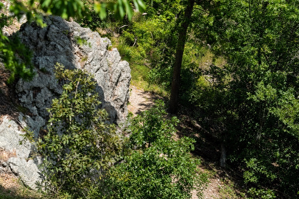 ModerateLower Dogwood Trail0.7 mi · 30 min · 0.9 mi awayBoulders mark a brief mountain climb before the loop drops downhill.
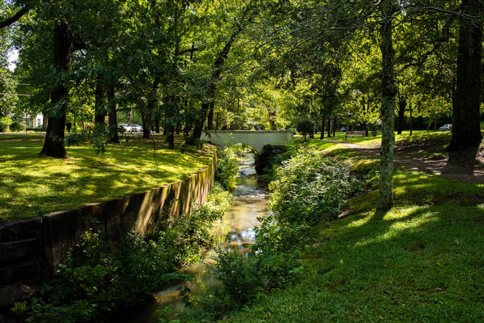 EasyWhittington Trail1.2 mi · 30 min · 0.9 mi awayA flat gravel loop past Whittington Creek's old bridges.
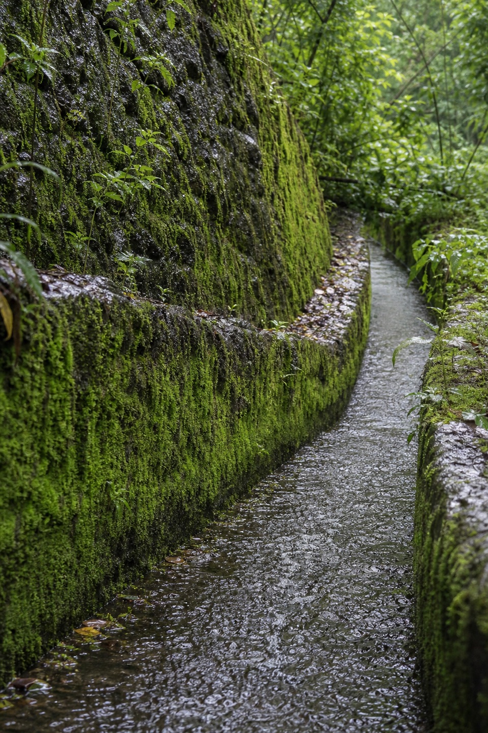 ModerateOak Trail1 mi · 35 min · 1 mi awayA short dirt climb from Bathhouse Row into West Mountain’s trails.
 ModerateFloral Trail0.4 mi · 30 min · 1 mi awayA quick valley dip linking two North Mountain trails.
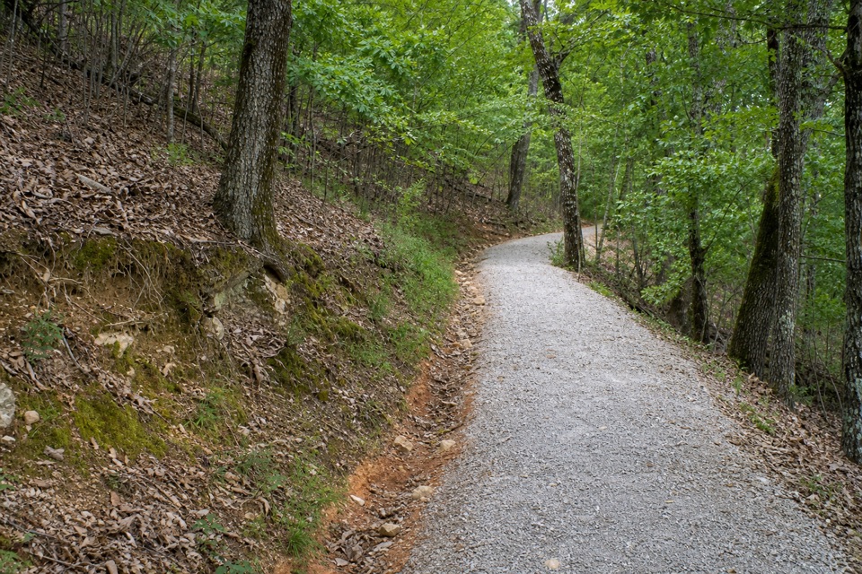 ModerateMountain Top Trail1.5 mi · 1 hr · 1 mi awayA wooded ridge crossing with a steep climb and a sharp descent.Sight · 0.8 mi awayBalanced RockA quiet ridge hike ends at a novaculite outcrop and wide view.
 Restaurant · 1 mi awayThe Pancake ShopA 1940 breakfast institution a few steps from Bathhouse Row.
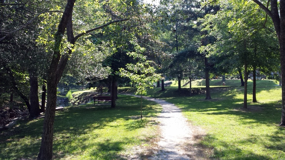 Sight · 1 mi awayWhittington Park and CreekA shaded creek walk through Hot Springs' old pleasure ground.
 Lodging · 1 mi awayThe Arlington Resort Hotel & SpaA 1924 landmark with twin towers and its own thermal bathhouse.
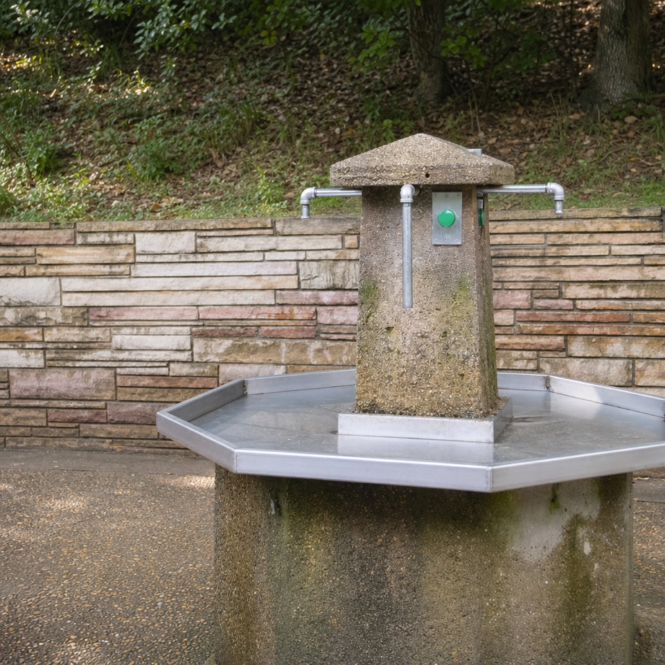 Sight · 1 mi awayHappy Hollow Jug Fountain (Cold)A free cold-spring refill stop, praised for its water.
 Sight · 1.1 mi awayArlington LawnA lawn where two earlier Arlington Hotels stood.
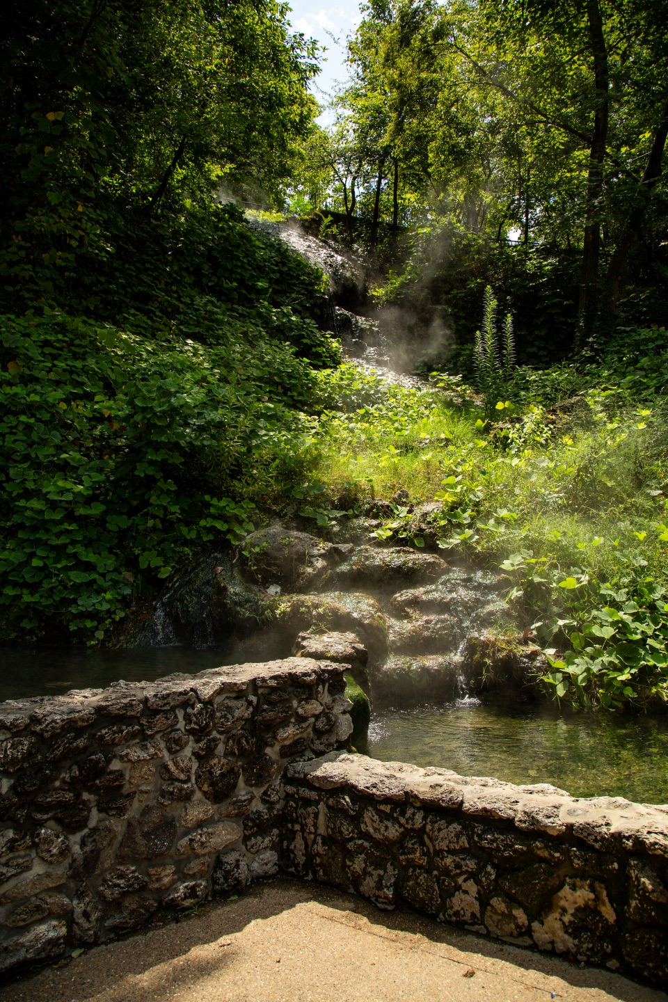
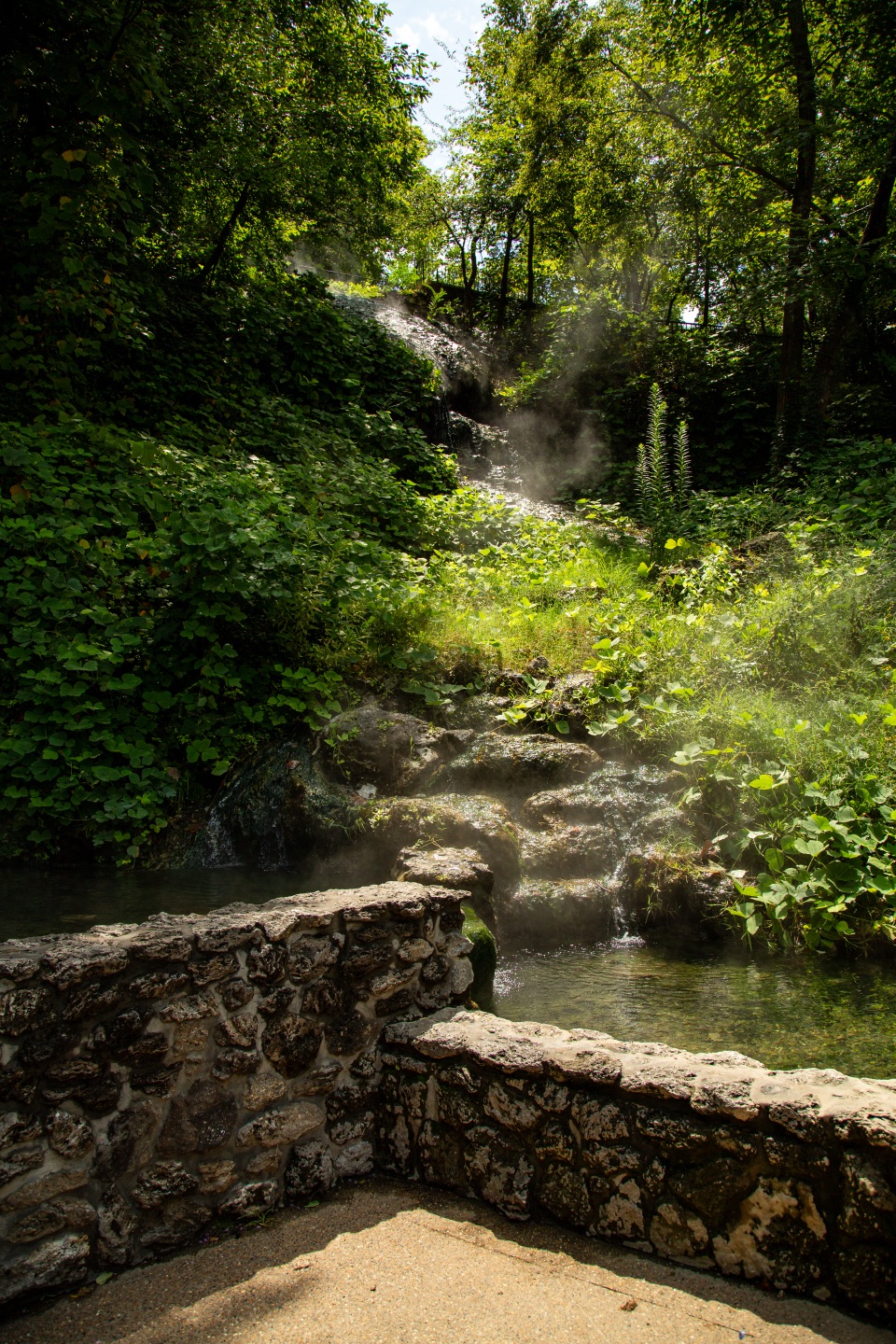 Sight · 1.1 mi awayHot Water CascadeThermal water tumbles through two pools along Bathhouse Row.
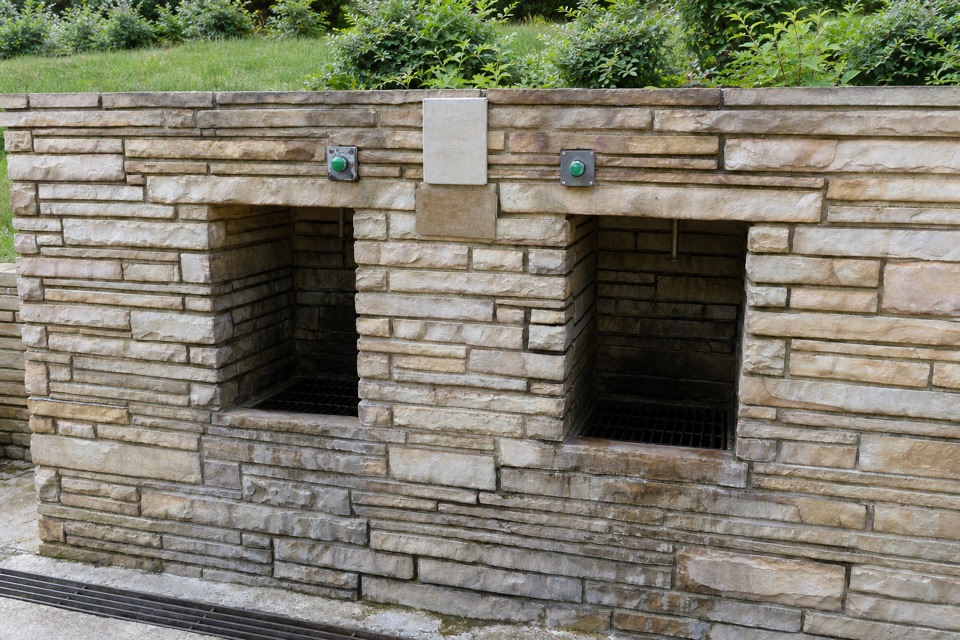 Sight · 1.1 mi awayWhittington Jug FountainFree cold-spring water for bottles and jugs near West Mountain.
Parkwolf’s Hot Springs ranking

The audio tour guide for the drive, plus offline maps, trails, and wildlife heatmaps for when the signal drops.