Sunwapta Falls in Icefields Parkway (Highway 93)

#5 of 30 sights in Icefields Parkway

Sight · Icefields Parkway (Highway 93)

Sunwapta Falls

A quick bridge walk to a split waterfall and a limestone gorge.

Photo: Wikimedia Commons
Type
Sight
Nearest trail
0.1 km
Audio stories
3 nearby
  • Parking
  • Scenic viewpoint

Hear the audio tour

Sunwapta Falls: Island, Gorge and Lunch

Overview

About Sunwapta Falls

Why stop

  • The wooded island and stepping cascade make the upper falls distinctive.
  • The footbridge and viewpoints put a deep limestone gorge within a short walk.

Heads up

  • Lower Sunwapta Falls is a separate, rougher walk rather than part of the quick viewpoint stop.
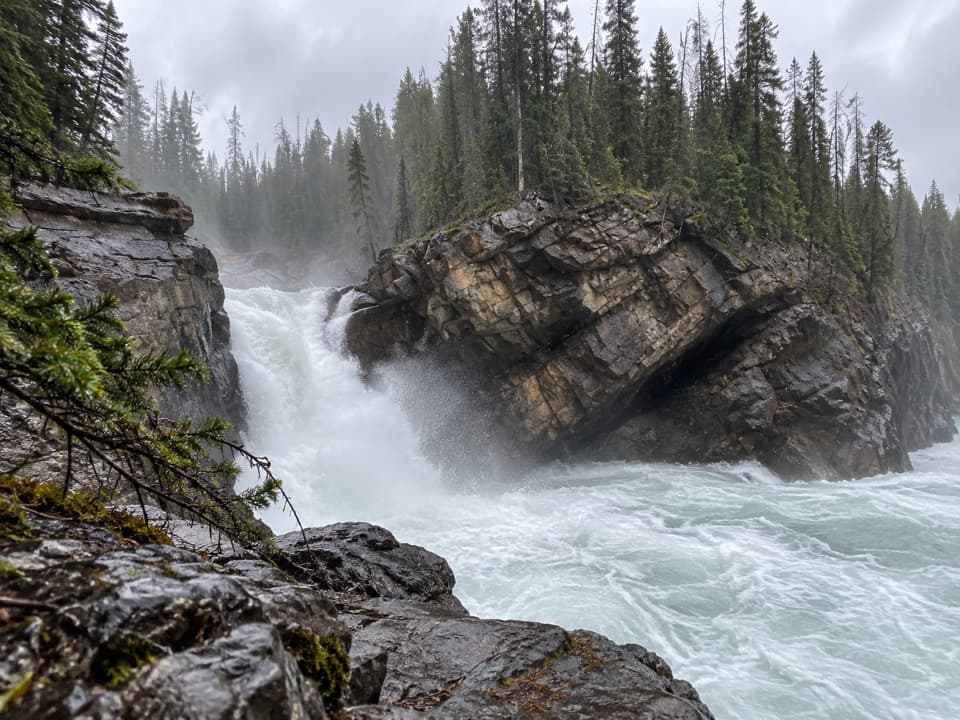
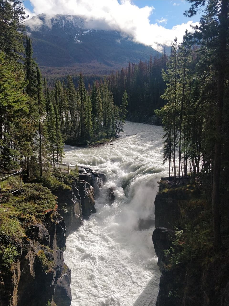
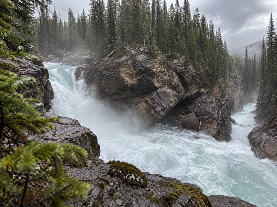
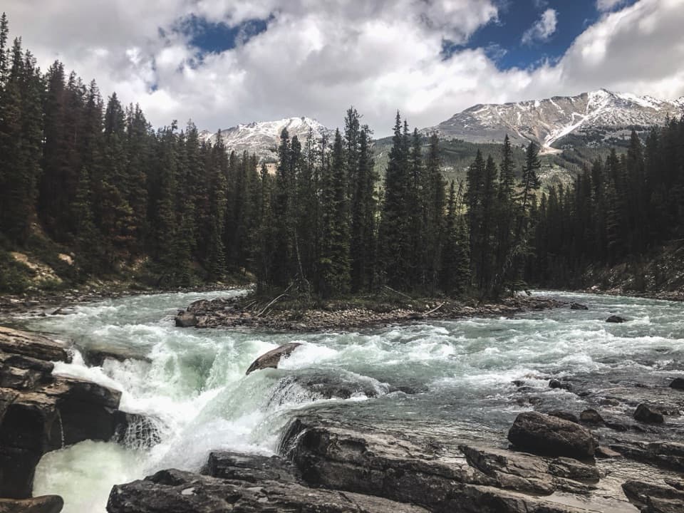
Sunwapta Falls is a stepped waterfall just off the Icefields Parkway in Jasper National Park, where the smaller Chaba Valley meets the deeper Athabasca Valley. The upper falls are the easy roadside stop: a short walk from the parking area brings you to a footbridge and viewpoints over the cascade and deep limestone gorge. I’d make room for it. You get close to the force and sound of the river without committing to a hike.
Parkwolf’s verdictWhy stop here

Map

Where it is

Loading the Icefields Parkway map
Full map
SightSunwapta Falls52.53237, -117.64462
Keep this map with you offline in the Parkwolf app

Plan your stop

Before you go

Food near the access

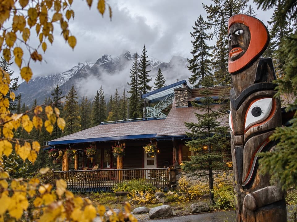
The nearby Sunwapta Lodge restaurant welcomes the public and serves breakfast, fresh lunches, deli sandwiches, soups and salads, with takeaway available. It’s a separate stop near the falls access, not a facility at the waterfall itself.

2 active Icefields Parkway alerts

  • ClosureWildfire-impacted area closures in JasperStay out of the closed wildfire-impacted areas in Jasper National Park; access is prohibited or restricted to protect public safety.Official details
  • ClosureOpal Hills hiking area closed for grizzly bearThe Opal Hills hiking area is closed because a female grizzly bear with two offspring is in the area. - The closure took effect September 25, 2026, and remains in effect until further notice.Official details
Icefields Parkway alerts
A park ranger sits on a dash-mounted phone, talking, as Parkwolf’s Tour Guide plays “Army Cutworm Moths: A Grizzly Bear Buffet” on Grand Loop Road below Dunraven Pass in Yellowstone
Parkwolf Tour GuideThe highest, rockiest slopes around here are a summer buffet for grizzly bears.

Icefields Parkway Tour Guide

Your drive to Sunwapta Falls, narrated.

Parkwolf is a GPS audio tour guide for Icefields Parkway (Highway 93). As you drive, it chimes in with what’s ahead: hidden gems, upcoming stops, history, geology, and wildlife, right through your car’s speakers.

See the Icefields Parkway audio tour

Recorded for this place

Sunwapta Falls: Island, Gorge and Lunch
0:00 / 0:34
“You're coming up on the access road for Sunwapta Falls. Follow it to the falls parking area for a short walk to the upper bridge and viewpoints.”

Plays as you drive up to Sunwapta Falls in the Parkwolf Icefields Parkway Tour Guide.

More stories near here in the app

  • A Frog’s Frozen Winter
  • The Wardens’ Cabin Network
  • Honeymoon Lake: A Simple Lakeside Night
  • The Lichen That Feeds Caribou
  • 141 audio storiesacross Icefields Parkway’s roads, triggered by GPS as you drive
  • Wildlife heatmapsfor Grizzly Bear, Black Bear, Moose, and 13 more
  • Works offlinemaps, 54 trails, 57 places, and audio download before you lose signal
  • CarPlay readysimple controls built for the drive
★★★★★
“Fantastic app with many points of information… It’s great to just turn on while you’re driving and it gives you an audio tour of the national Park. We love it!!!!”
JMJamesApp Store review
Download Parkwolf on the App StoreGet Parkwolf on Google Play

4.7 from 8,600+ ratings

Guide

More about Sunwapta Falls

Follow the split waterAt the upper falls, the river divides around a wooded island before dropping in steps.

At the upper falls, the river divides around a wooded island before dropping in steps. Look upstream at the broad river, then down through the gorge from the bridge; the change from open valley to narrow cut is what makes the view. For a photo, keep the island and falling water together in the frame. A close shot of water alone misses how the river divides. Spray leaves nearby rocks slick, so stay behind the railings even for a closer view.

A gorge shaped by glaciersGlaciers receded about 8,000 years ago, leaving the smaller hanging Chaba Valley above the…

Glaciers receded about 8,000 years ago, leaving the smaller hanging Chaba Valley above the larger Athabasca Valley. Where the two meet, the water steps down into the rock. The falls have cut a deep limestone gorge below the footbridge, making the change in valley scale visible from the overlook.

The lower falls take longerTreat Lower Sunwapta Falls as a separate outing.

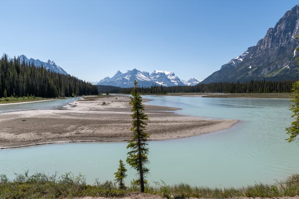
Treat Lower Sunwapta Falls as a separate outing. A longer trail from the same falls area follows the Athabasca River; visitors describe rooted, sloping ground along the way. If you mainly want a quick waterfall stop, stay for the upper bridge and viewpoints. Add the lower route when you want a walk as well as the falls.

Into Chaba ValleyThe falls are also the trailhead for a backcountry route along the Athabasca River.

The falls are also the trailhead for a backcountry route along the Athabasca River. It passes through the Chaba River burn area, left by a 1967 wildfire. The fire helped rejuvenate subalpine forest there, and the wider area is now known as important bear and moose habitat. That’s a worthwhile reason to plan more time if you’re heading beyond the viewpoints.

Wildlife

Wildlife in Icefields Parkway

All Icefields Parkway wildlife maps

Sighting maps show where each species has been reported across Icefields Parkway. Wildlife moves, so no sighting is guaranteed.

Parkwolf’s Icefields Parkway ranking

Top sights in Icefields Parkway

All 57 places
  1. 1Athabasca GlacierSight
  2. 2Peyto Lake ViewpointSight
  3. 3Athabasca FallsSight
  4. 4Bow LakeSight
  5. 6Mistaya CanyonSight
  6. 7Columbia Icefield SkywalkSight

Take Parkwolf to Icefields Parkway.

The audio tour guide for the drive, plus offline maps, trails, and wildlife heatmaps for when the signal drops.

4.7 from 8,600+ ratings

Download Parkwolf on the App StoreGet Parkwolf on Google Play