Athabasca Falls in Icefields Parkway (Highway 93)

#3 of 30 sights in Icefields Parkway

Sight · Icefields Parkway (Highway 93)

Athabasca Falls

A forceful river drop into a short, water-carved canyon.

Photo: Wikimedia Commons
Type
Sight
Nearest trail
0.2 km
Audio stories
5 nearby
  • Parking
  • Restrooms
  • Scenic viewpoint

Hear the audio tour

Athabasca Falls: Follow the Canyon

Overview

About Athabasca Falls

Why stop

  • Several viewpoints bring you close to the fast water and gorge.

Heads up

  • The main bridge has 14 steps, and the approach is uneven.

Map

Where it is

Loading the Icefields Parkway map
Full map
SightAthabasca Falls52.66456, -117.88402
Keep this map with you offline in the Parkwolf app

Plan your stop

Before you go

2 active Icefields Parkway alerts

  • ClosureWildfire-impacted area closures in JasperStay out of the closed wildfire-impacted areas in Jasper National Park; access is prohibited or restricted to protect public safety.Official details
  • ClosureOpal Hills hiking area closed for grizzly bearThe Opal Hills hiking area is closed because a female grizzly bear with two offspring is in the area. - The closure took effect September 25, 2026, and remains in effect until further notice.Official details
Icefields Parkway alerts
A park ranger sits on a dash-mounted phone, talking, as Parkwolf’s Tour Guide plays “Army Cutworm Moths: A Grizzly Bear Buffet” on Grand Loop Road below Dunraven Pass in Yellowstone
Parkwolf Tour GuideThe highest, rockiest slopes around here are a summer buffet for grizzly bears.

Icefields Parkway Tour Guide

Your drive to Athabasca Falls, narrated.

Parkwolf is a GPS audio tour guide for Icefields Parkway (Highway 93). As you drive, it chimes in with what’s ahead: hidden gems, upcoming stops, history, geology, and wildlife, right through your car’s speakers.

See the Icefields Parkway audio tour

Recorded for this place

Athabasca Falls: Follow the Canyon
0:00 / 0:34
“Up ahead is Athabasca Falls, where the force of the river is the reason to stop. The drop is only twenty-three metres, but a broad glacier-fed river squeezes into a narrow canyon here.”

Plays as you drive up to Athabasca Falls in the Parkwolf Icefields Parkway Tour Guide.

More stories near here in the app

  • Geraldine Road: Lakes and Backcountry Hikes
  • The Owl That Hears Through Snow
  • Why Jasper Is Called Jasper
  • The Committee’s Punch Bowl
  • 141 audio storiesacross Icefields Parkway’s roads, triggered by GPS as you drive
  • Wildlife heatmapsfor Grizzly Bear, Black Bear, Moose, and 13 more
  • Works offlinemaps, 54 trails, 57 places, and audio download before you lose signal
  • CarPlay readysimple controls built for the drive
★★★★★
“Fantastic app with many points of information… It’s great to just turn on while you’re driving and it gives you an audio tour of the national Park. We love it!!!!”
JMJamesApp Store review
Download Parkwolf on the App StoreGet Parkwolf on Google Play

4.7 from 8,600+ ratings

Guide

More about Athabasca Falls

The force is the showAthabasca Falls is a 23-metre waterfall on the Athabasca River in Jasper National Park, known…

Athabasca Falls is a 23-metre waterfall on the Athabasca River in Jasper National Park, known for the force of its broad, glacier-fed flow dropping into a short canyon. It’s a roadside stop on Highway 93A, about 30 kilometres south of Jasper. It isn’t especially high by Rockies standards, but the rushing water and close gorge views make it one of the most memorable stops on the drive.

Walk beyond the bridgeA paved path runs about 150 metres from the parking area to an upper viewpoint, with other…

A paved path runs about 150 metres from the parking area to an upper viewpoint, with other short walks leading to different angles on the falls and canyon. The path has steep, uneven sections, and the main pedestrian bridge is reached by 14 short steps, so the best-known viewpoint isn’t step-free. Accessible parking stalls are available. Give yourself time to see more than the first railing.

Mist leaves the surrounding rocks slick. Stay on the paths and behind the barriers. The stop gets busy in peak season and the lot can fill; arriving earlier is a good bet, though the crowd varies by time.

See how the river cut the canyonThe water pours over hard quartzite and into softer limestone below.

The water pours over hard quartzite and into softer limestone below. Over time it has drilled potholes and carved the short canyon you can look into from the paths. Watch how the rock layers pinch the river as it drops; the narrow shape helps explain why a 23-metre fall can feel so forceful.

Frame the river with the mountainsFrom the pedestrian bridge, include the river and falls below you, with Mount Kerkeslin beyond.

From the pedestrian bridge, include the river and falls below you, with Mount Kerkeslin beyond. That gives the picture both the water’s scale and the mountain backdrop. Keep walking for closer views into the gorge and at the potholes; the different angles are part of what makes this a better stop than a quick look from the first viewpoint.

A river with a long routeThe Athabasca starts at glaciers of the Columbia Icefield and is Jasper’s largest river system.

The Athabasca starts at glaciers of the Columbia Icefield and is Jasper’s largest river system. David Thompson traveled it in 1810 looking for a fur-trade route to the Pacific; he discovered Athabasca Pass in early January 1811. The Overlanders later followed the river toward the Cariboo Gold Rush in 1862, and railways followed about 30 years after. The Athabasca was designated a Canadian Heritage River in 1989 for its historical, natural and recreational value.

Plan the stopParks Canada lists the falls 30 kilometres from Jasper and 203 kilometres from Lake Louise…

Parks Canada lists the falls 30 kilometres from Jasper and 203 kilometres from Lake Louise along the Icefields Parkway area. The paved parking area has designated accessible stalls and two pit toilets. No café or food service is listed at the falls, so plan food at another stop along the drive.

Wildlife

Wildlife in Icefields Parkway

All Icefields Parkway wildlife maps

Sighting maps show where each species has been reported across Icefields Parkway. Wildlife moves, so no sighting is guaranteed.

Parkwolf’s Icefields Parkway ranking

Top sights in Icefields Parkway

All 57 places
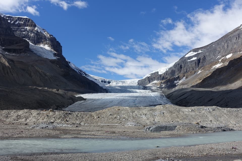
  1. 1Athabasca GlacierSight
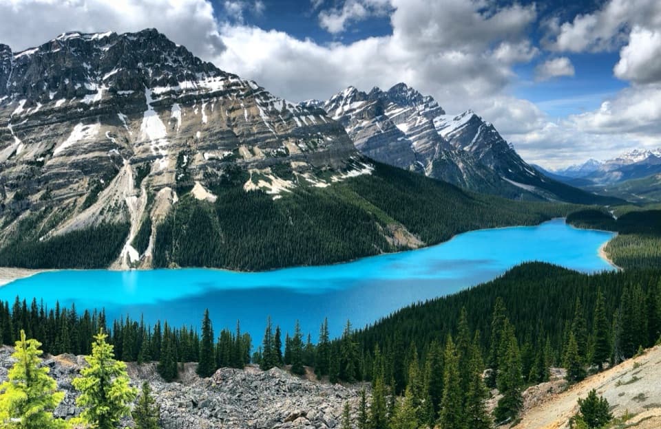
  2. 2Peyto Lake ViewpointSight
  3. 4Bow LakeSight
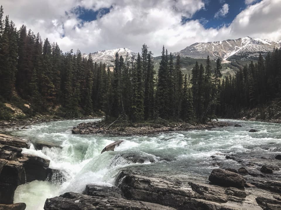
  4. 5Sunwapta FallsSight
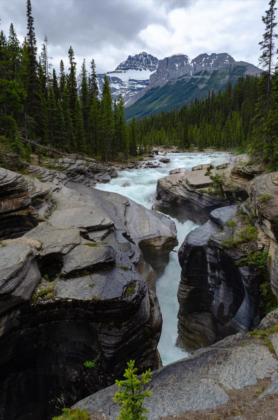
  5. 6Mistaya CanyonSight
  6. 7Columbia Icefield SkywalkSight

Take Parkwolf to Icefields Parkway.

The audio tour guide for the drive, plus offline maps, trails, and wildlife heatmaps for when the signal drops.

4.7 from 8,600+ ratings

Download Parkwolf on the App StoreGet Parkwolf on Google Play