Parking
Turn off the Icefields Parkway at Sunwapta Falls Resort and follow the side road to its end by Sunwapta Falls. Parks Canada directs trail users to park there; start by the viewpoint bridge.
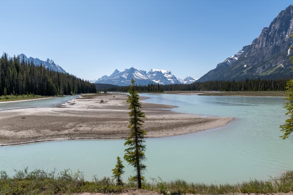
Icefields Parkway (Highway 93), AB
An old forest road opens onto Dragon Peak above the Athabasca.
Overview
Map & elevation
Plan your hike

The highest, rockiest slopes around here are a summer buffet for grizzly bears.
Icefields Parkway Tour Guide
Parkwolf is a GPS audio tour guide for Icefields Parkway (Highway 93). As you drive, it chimes in with what’s ahead: hidden gems, upcoming stops, history, geology, and wildlife, right through your car’s speakers.
See the Icefields Parkway audio tourRecorded for this trailhead
Sunwapta Falls: Island, Gorge and Lunch“You're coming up on the access road for Sunwapta Falls. Follow it to the falls parking area for a short walk to the upper bridge and viewpoints.”
Plays as you drive up to this trailhead in the Parkwolf Icefields Parkway Tour Guide.
More stories near here in the app
“Fantastic app with many points of information… It’s great to just turn on while you’re driving and it gives you an audio tour of the national Park. We love it!!!!”


Trail guide
The Chaba Trail follows an old fire road from Sunwapta Falls to two backcountry campgrounds beside the Athabasca River. It is 6.3 km one way to Big Bend, then another 8.5 km to Athabasca Crossing: 14.8 km out and 29.6 km return. Parks Canada describes Trail 126 as a two-to-three-day trip, a sensible plan for the full route. Expect roughly ten hours of walking in total, before campsite time. Parks Canada also lists it as a good early- or late-season option. If you want a shorter walk, turn around at Big Bend for 12.6 km round trip.
The first 6.3 km runs through dense forest on a broad, old road, with a gradual downhill overall and some rolling sections. Roots and muddy patches have been reported. The river stays mostly hidden until the trail opens at Big Bend Campground, right beside the Athabasca. This is the route’s big reward: a wide gravel bar, pale turquoise water and Dragon Peak across the valley. For a photo, frame the river bend with the mountain ridge behind it.
From Big Bend, the trail continues 8.5 km over gently rolling ground with a slight climb to Athabasca Crossing Campground. The upper Athabasca is visible near the end. Stop at the campground: the river crossing beyond it is unbridged, so this is not a through-route toward Fortress Lake. The trail is also open to bikes, which suit the long, relatively gentle road.
Turn off the Icefields Parkway at Sunwapta Falls Resort and park at the end of the side road by Sunwapta Falls. The route begins by the viewpoint bridge. Dogs are permitted. Big Bend and Athabasca Crossing each have four backcountry sites, a toilet and food lockers; there is no food service along the trail, so carry provisions and a way to treat water. An overnight backcountry permit is mandatory. Horses may use the trail but are not permitted at either campground.
Wildlife
 12 sightingsGrizzly BearMost seen around 6 AMSighting map
 127 sightingsBlack BearMost seen around 7 PMSighting map
 16 sightingsMooseMost seen around 6 AMSighting map
 100 sightingsElkMost seen around 8 PMSighting map
 34 sightingsMountain GoatMost seen around 7 PMSighting map
 53 sightingsBighorn SheepMost seen around 6 PMSighting map
Sighting maps show where each species has been reported across Icefields Parkway. Wildlife moves, so no sighting is guaranteed.
Keep exploring
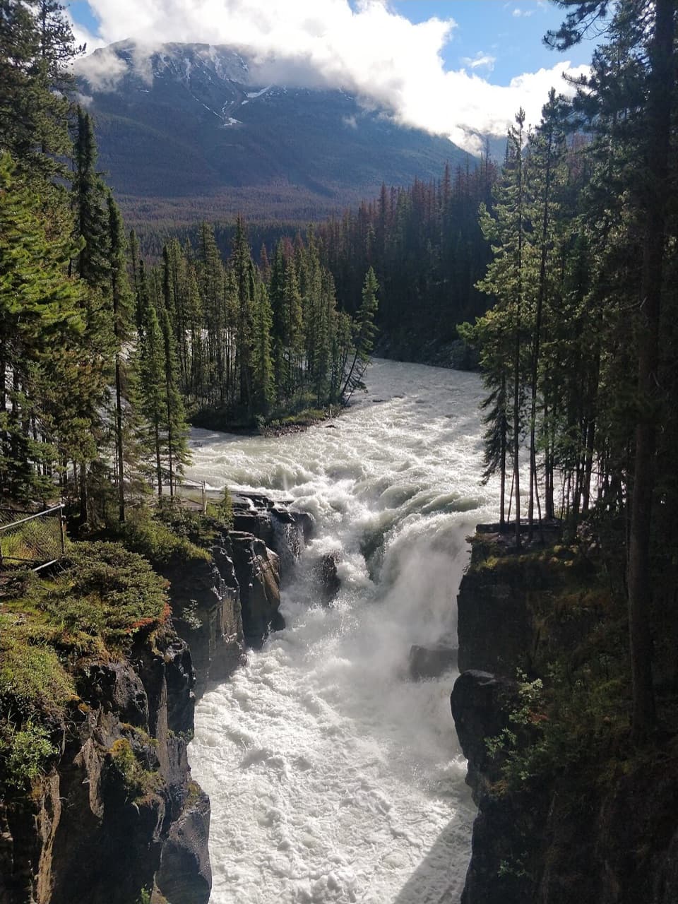 EasySunwapta Falls Trail0.4 km · 15 min · At the trailheadA quick paved walk to roaring water and a deep limestone gorge.
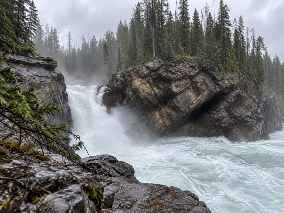 ModerateLower Sunwapta Falls Trail2.6 km · 1 hr · At the trailheadThree cascades await beyond the upper falls access
 ChallengingMaligne Pass Trail48 km · 2.5 days · 16.6 km awayA rough 48 km traverse to an alpine lake, fords, and wildflowers.
 ChallengingPoboktan Pass Trail37.1 km · 16 hr · 16.6 km awayCreek forest leads to a broad pass and Brazeau Lake
 ChallengingGeraldine Lakes Trail12.4 km · 5.5 hr · 21.1 km awayA rugged climb to alpine lakes, waterfalls, and a backcountry camp.
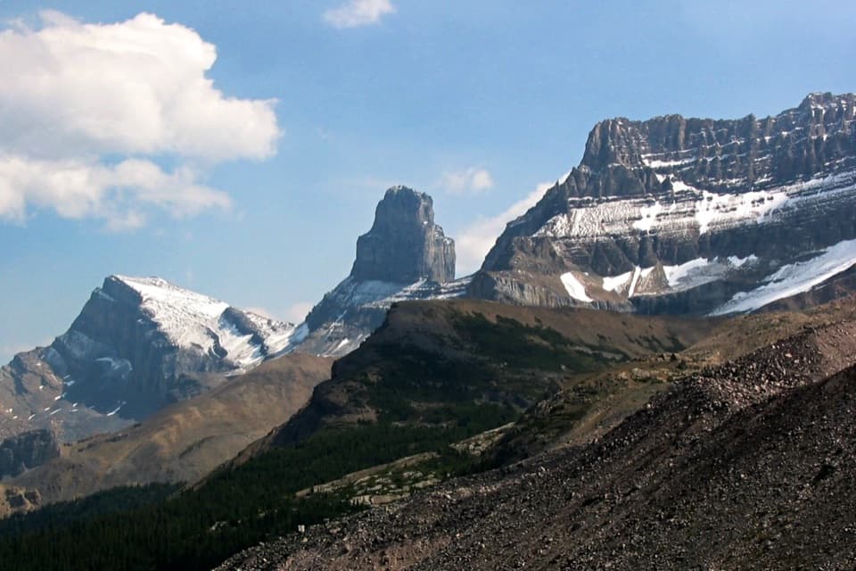 ChallengingFryatt Trail44 km · 16 hr · 21.5 km awayA long valley approach ends at a hut beyond a steep headwall.
 EasyAthabasca Falls Trail1 km · 45 min · 21.8 km awayA short circuit links powerful falls and a sculpted limestone canyon.
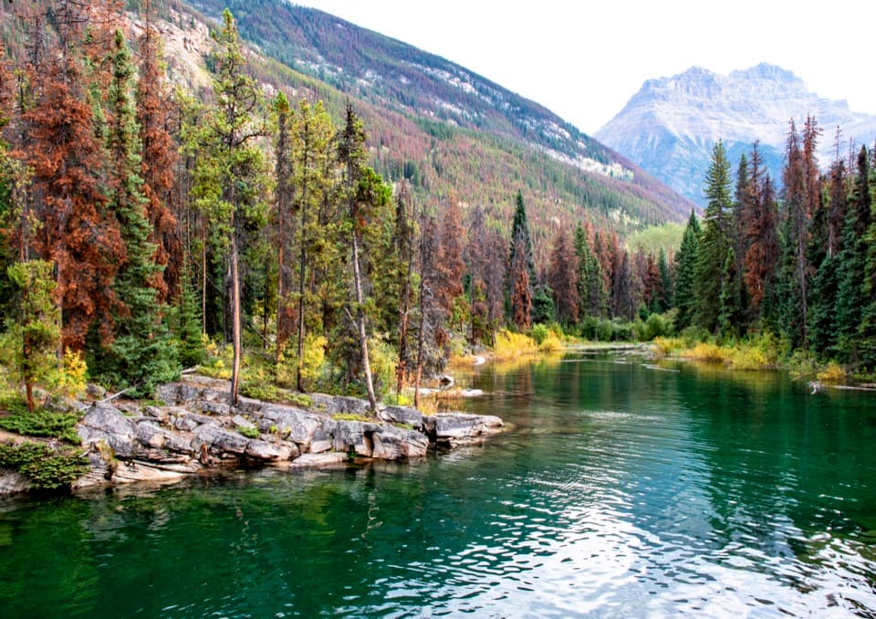 EasyHorseshoe Lake Trail1.6 km · 30 min · 23.4 km awayA short loop for clear water and cliff-framed lake views.
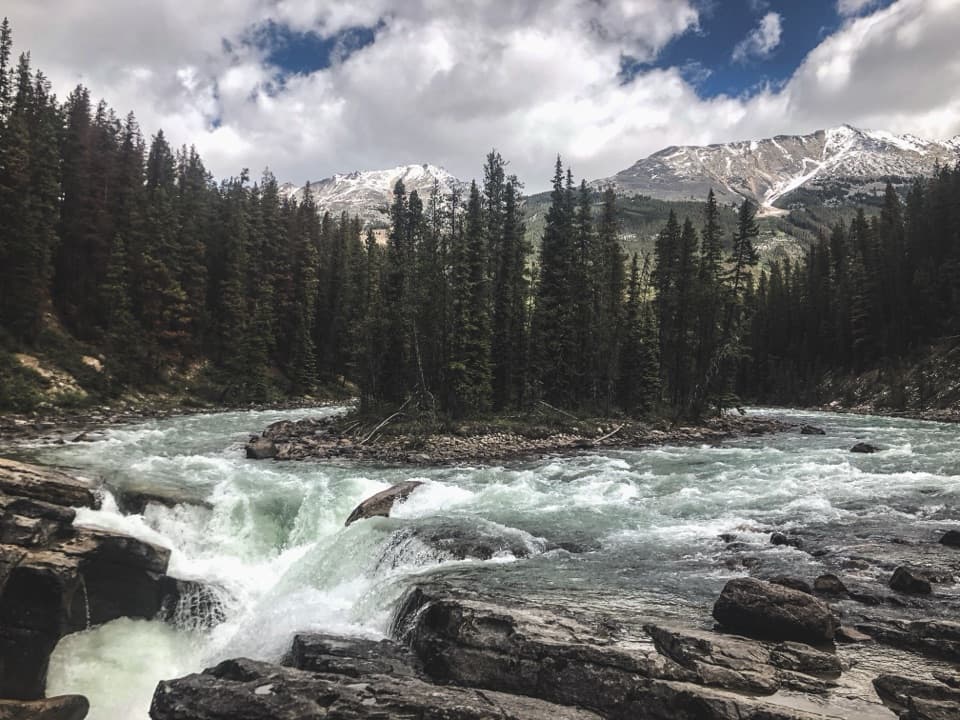 Sight · 0.1 km awaySunwapta FallsA quick bridge walk to a split waterfall and a limestone gorge.
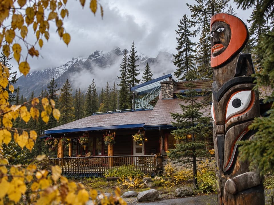 Lodging · 0.6 km awaySunwapta Falls Rocky Mountain LodgeA cabin stay and meal break up a long mountain drive.
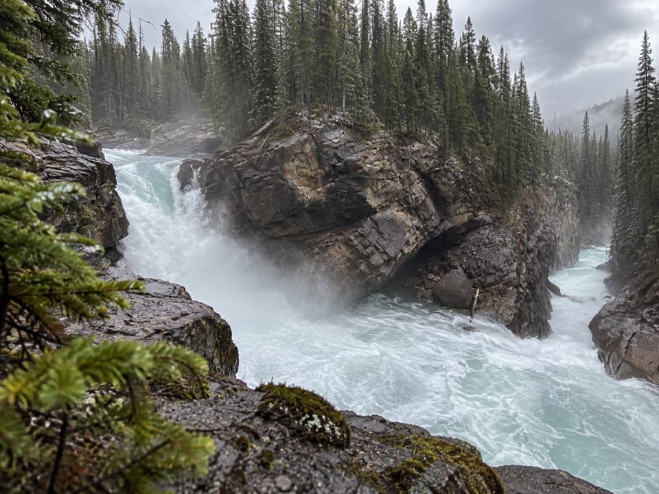 Sight · 1.1 km awayLower Sunwapta FallsThree canyon drops make a worthwhile detour past the upper falls.
 Campground · 3.5 km awayHoneymoon Lake CampgroundA lakeside night capped by calm, mountain-reflecting mornings.
 Scenic pullout · 12.9 km awayMount Christie ViewpointRed chairs frame Mount Christie’s pyramid above the Athabasca Valley.
Parkwolf’s Icefields Parkway ranking

The audio tour guide for the drive, plus offline maps, trails, and wildlife heatmaps for when the signal drops.





