Weeping Wall Viewpoint in Icefields Parkway (Highway 93)

#9 of 30 sights in Icefields Parkway

Scenic pullout · Icefields Parkway (Highway 93)

Weeping Wall Viewpoint

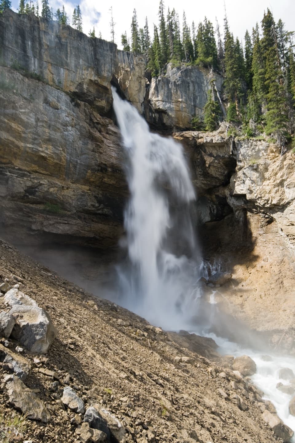
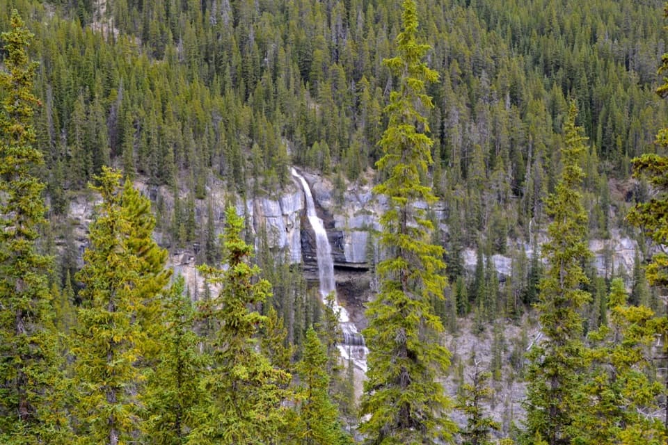
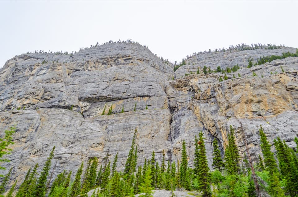
Spring cascades and winter ice transform this 300-m cliff.

Photo: Wikimedia Commons
Type
Scenic pullout
Nearest trail
4.3 km
Audio stories
3 nearby
  • Pullout
  • Parking
  • Scenic viewpoint
  • Restrooms

Hear the audio tour

Weeping Wall: Water, Rock and Ice

Overview

About Weeping Wall Viewpoint

Why stop

  • A towering cliff and a quick, easy roadside stop.

Heads up

  • Water can shrink to trickles or disappear outside the melt season.

Map

Where it is

Loading the Icefields Parkway map
Full map
Scenic pulloutWeeping Wall Viewpoint52.15447, -117.00949
Keep this map with you offline in the Parkwolf app

Plan your stop

Before you go

2 active Icefields Parkway alerts

  • ClosureWildfire-impacted area closures in JasperStay out of the closed wildfire-impacted areas in Jasper National Park; access is prohibited or restricted to protect public safety.Official details
  • ClosureOpal Hills hiking area closed for grizzly bearThe Opal Hills hiking area is closed because a female grizzly bear with two offspring is in the area. - The closure took effect September 25, 2026, and remains in effect until further notice.Official details

Icefields Parkway alerts
A park ranger sits on a dash-mounted phone, talking, as Parkwolf’s Tour Guide plays “Army Cutworm Moths: A Grizzly Bear Buffet” on Grand Loop Road below Dunraven Pass in Yellowstone
Parkwolf Tour GuideThe highest, rockiest slopes around here are a summer buffet for grizzly bears.

Icefields Parkway Tour Guide

Your drive to Weeping Wall Viewpoint, narrated.

Parkwolf is a GPS audio tour guide for Icefields Parkway (Highway 93). As you drive, it chimes in with what’s ahead: hidden gems, upcoming stops, history, geology, and wildlife, right through your car’s speakers.

See the Icefields Parkway audio tour

Recorded for this place

Weeping Wall: Water, Rock and Ice
0:00 / 0:23
“Up ahead is Weeping Wall Viewpoint, facing a cliff roughly three hundred metres high. It's a quick stop with no hike needed, especially rewarding in spring and early summer when snowmelt sends streams down the rock face.”

Plays as you drive up to Weeping Wall Viewpoint in the Parkwolf Icefields Parkway Tour Guide.

More stories near here in the app

  • Charlotte Small’s Work Behind the Maps
  • Under the Squirrel’s Cone Heap
  • How Frost Breaks a Cliff
  • Big Bend: The Road from Above
  • 141 audio storiesacross Icefields Parkway’s roads, triggered by GPS as you drive
  • Wildlife heatmapsfor Grizzly Bear, Black Bear, Moose, and 13 more
  • Works offlinemaps, 54 trails, 57 places, and audio download before you lose signal
  • CarPlay readysimple controls built for the drive
★★★★★
“Fantastic app with many points of information… It’s great to just turn on while you’re driving and it gives you an audio tour of the national Park. We love it!!!!”
JMJamesApp Store review
Download Parkwolf on the App StoreGet Parkwolf on Google Play

4.7 from 8,600+ ratings

Guide

More about Weeping Wall Viewpoint

A quick stop for a huge wallThe Weeping Wall is a roadside viewpoint on the Icefields Parkway, facing a roughly 300 m cliff…

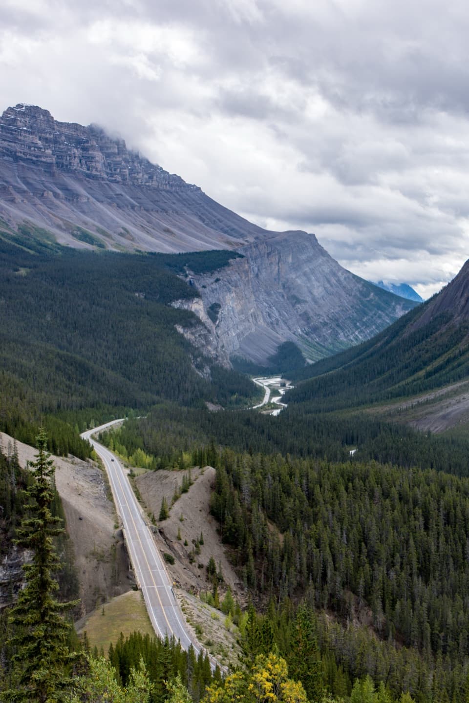
The Weeping Wall is a roadside viewpoint on the Icefields Parkway, facing a roughly 300 m cliff at the west base of Cirrus Mountain. The scale is the draw: you can see the rock face from the turnout without taking on a hike. A short path leads down toward the river if you want a closer second look. A national park entry pass is required to drive the parkway.

What makes it weepIn spring and early summer, snowmelt streams run down the face and create seasonal waterfalls.

In spring and early summer, snowmelt streams run down the face and create seasonal waterfalls. The largest cascade is called Teardrop and is reported at more than 100 m. Flow is not guaranteed: later in summer, visitors sometimes find only trickles or bare rock. In winter, the waterfalls freeze into tall ice pillars; the wall is also known as an ice-climbing site.

See it from above and belowFrom the turnout, photograph the full cliff to show its height.

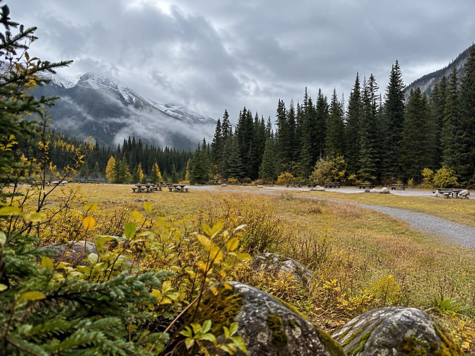
From the turnout, photograph the full cliff to show its height. Then take the short path toward the river and include water at the foot of the frame for scale. A pit toilet has been reported at the turnout, but its operating season has not been established.

Wildlife

Wildlife in Icefields Parkway

All Icefields Parkway wildlife maps

Sighting maps show where each species has been reported across Icefields Parkway. Wildlife moves, so no sighting is guaranteed.

Parkwolf’s Icefields Parkway ranking

Top sights in Icefields Parkway

All 57 places
  1. 1Athabasca GlacierSight
  2. 2Peyto Lake ViewpointSight
  3. 3Athabasca FallsSight
  4. 4Bow LakeSight
  5. 5Sunwapta FallsSight
  6. 6Mistaya CanyonSight

Take Parkwolf to Icefields Parkway.

The audio tour guide for the drive, plus offline maps, trails, and wildlife heatmaps for when the signal drops.

4.7 from 8,600+ ratings

Download Parkwolf on the App StoreGet Parkwolf on Google Play