Nigel Pass Trail in Icefields Parkway (Highway 93)

#9 of 54 trails in Icefields Parkway

Icefields Parkway (Highway 93), AB

Nigel Pass Trail

A wide alpine pass rewards a steady walk up Nigel Creek.

Length
16.8km
Time
5hr
Elev. change
329m
Difficulty
Moderate
  • Dogs allowed
  • High point 2,204 m

Hear the audio tour

Nigel Pass: A Full Valley Walk

Overview

About Nigel Pass Trail

Why go

  • A long, mostly gentle climb ends at a broad alpine pass above the Brazeau Valley.
  • The changing valley route mixes an old road grade, creek bridges, forest and open meadows.

Heads up

  • Return-distance listings range from 14.4 to 16.8 km; use the longer figure for planning.
  • The final kilometre is steeper and eroded after a long approach.

Map & elevation

The route

Loading the Icefields Parkway map
Full map
Elevation1,875–2,204 m
TrailheadNigel Creek Trailhead52.18653, -117.06941
Keep this map with you offline in the Parkwolf app

Plan your hike

Before you go

Parking

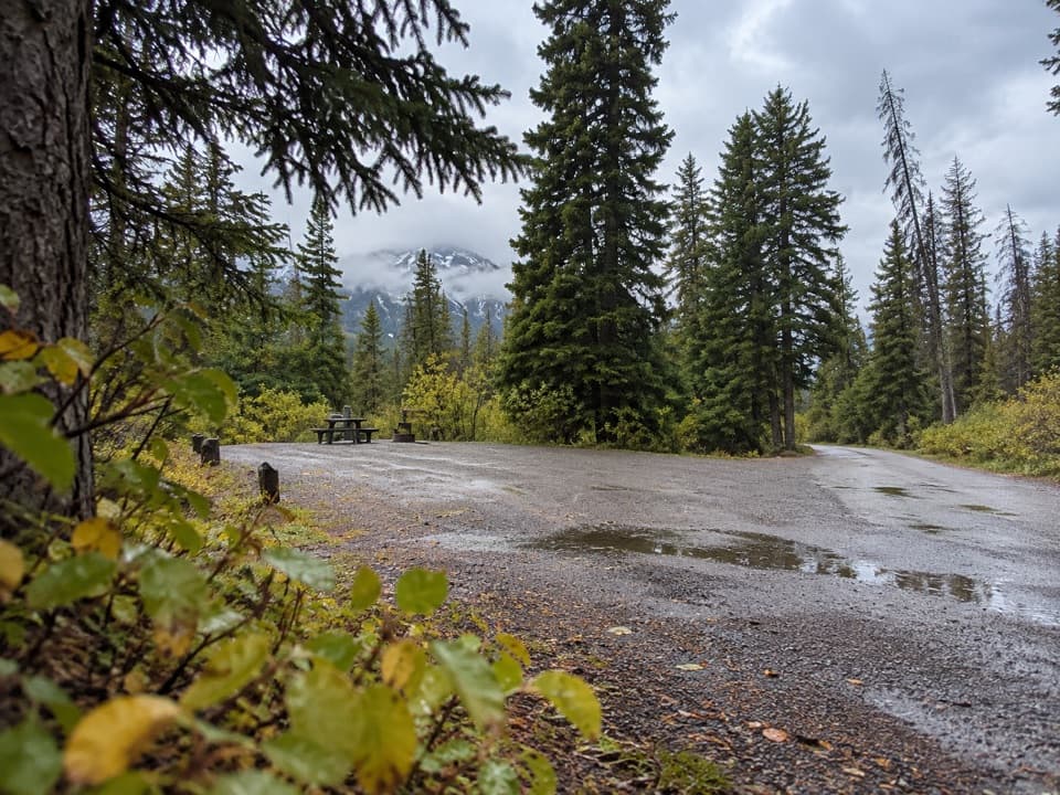
Park at Nigel Creek Trailhead, a signed gated driveway on the east side of Highway 93, about 13 km south of the Columbia Icefield Centre. From Jasper, watch for the southbound turnoff; if you miss it, continue to a safe turnaround rather than reversing on the highway.

Safety

Parks Canada flags avalanche terrain where snow may remain on steep slopes, and the final kilometre to the pass is steep and eroded. Two bridges cross Nigel and Hilda Creeks; smaller tributaries higher up may require careful steps over rocks and logs. Carry bear spray in grizzly habitat. Dogs are allowed on leash.

2 active Icefields Parkway alerts

  • ClosureWildfire-impacted area closures in JasperStay out of the closed wildfire-impacted areas in Jasper National Park; access is prohibited or restricted to protect public safety.Official details
  • ClosureOpal Hills hiking area closed for grizzly bearThe Opal Hills hiking area is closed because a female grizzly bear with two offspring is in the area. - The closure took effect September 25, 2026, and remains in effect until further notice.Official details
Icefields Parkway alerts
A park ranger sits on a dash-mounted phone, talking, as Parkwolf’s Tour Guide plays “Army Cutworm Moths: A Grizzly Bear Buffet” on Grand Loop Road below Dunraven Pass in Yellowstone
Parkwolf Tour GuideThe highest, rockiest slopes around here are a summer buffet for grizzly bears.

Icefields Parkway Tour Guide

Your drive to Nigel Pass Trail, narrated.

Parkwolf is a GPS audio tour guide for Icefields Parkway (Highway 93). As you drive, it chimes in with what’s ahead: hidden gems, upcoming stops, history, geology, and wildlife, right through your car’s speakers.

See the Icefields Parkway audio tour

Recorded for this trailhead

Nigel Pass: A Full Valley Walk
0:00 / 0:26
“You're nearing Nigel Creek Trailhead, where the Nigel Pass hike leads to an open saddle on the Banff–Jasper boundary.”

Plays as you drive up to this trailhead in the Parkwolf Icefields Parkway Tour Guide.

More stories near here in the app

  • Bridal Veil and Panther Falls: Choose Your Stop
  • Big Bend: The Road from Above
  • A Dragonfly’s Underwater Childhood
  • Rain That Disappears in Midair
  • 141 audio storiesacross Icefields Parkway’s roads, triggered by GPS as you drive
  • Wildlife heatmapsfor Grizzly Bear, Black Bear, Moose, and 13 more
  • Works offlinemaps, 54 trails, 57 places, and audio download before you lose signal
  • CarPlay readysimple controls built for the drive
★★★★★
“Fantastic app with many points of information… It’s great to just turn on while you’re driving and it gives you an audio tour of the national Park. We love it!!!!”
JMJamesApp Store review
Download Parkwolf on the App StoreGet Parkwolf on Google Play

4.7 from 8,600+ ratings

Trail guide

Hiking Nigel Pass Trail

A full valley dayNigel Pass Trail is an out-and-back from Nigel Creek Trailhead to the open pass on the…

Nigel Pass Trail is an out-and-back from Nigel Creek Trailhead to the open pass on the Banff–Jasper boundary. Plan for 16.8 km (10.4 mi) return and about five hours, with roughly 365 m of elevation gain and loss. Most of the climb is gentle, so distance is the main commitment; the last kilometre steepens and is eroded. The latest park guide lists 16.8 km, while older guides say 14.4 km and GPS-based route lengths fall between them. Plan for the longer figure.

Old roadbed and creek crossingsThe lower stretch follows the broad old Wonder Road grade, then narrows into subalpine forest.

The lower stretch follows the broad old Wonder Road grade, then narrows into subalpine forest. Camp Parker, an unused warden cabin and footbridges over Nigel and glacially silty Hilda Creeks sit along this lower valley section. Stay with the signed hiking route at the forks; a separate horse trail follows the other bank. Nigel Creek usually looks clearer than Hilda because Hilda carries fine glacial rock flour.

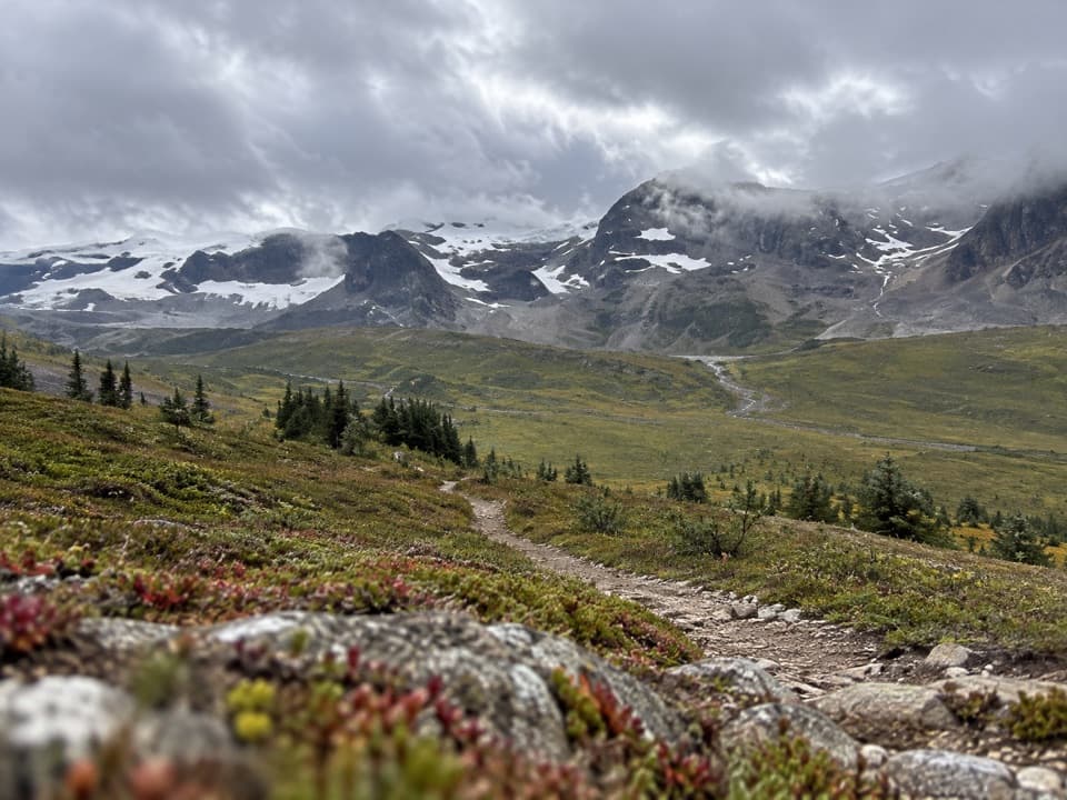
When the valley opensAfter the forest, the trail crosses shrub-covered avalanche slopes and reaches open meadows…

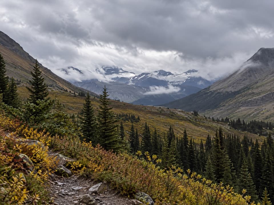
After the forest, the trail crosses shrub-covered avalanche slopes and reaches open meadows near Nigel Creek’s headwaters. Smaller tributaries cross this open stretch, where you may need to step carefully over rocks and logs. A short side path reaches a fast rapid on Nigel Creek. The final kilometre climbs more steeply on an eroded path to the pass.

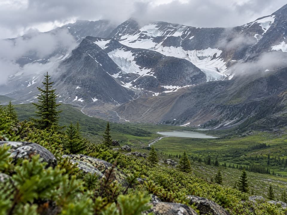
The view at Nigel PassThe wide saddle marks the Banff–Jasper boundary, with the Brazeau River valley opening beyond…

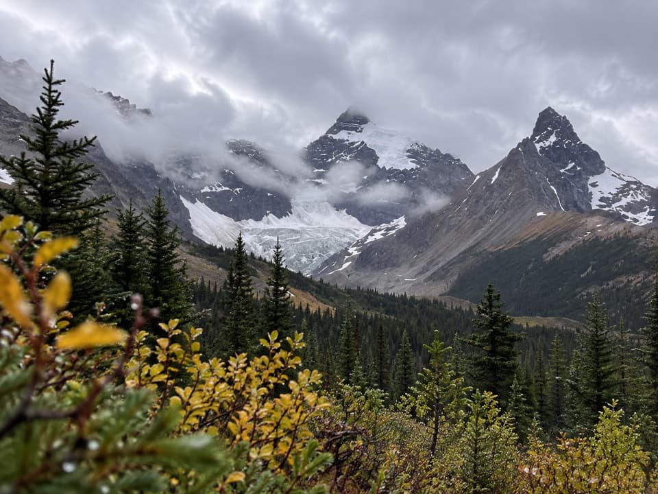
The wide saddle marks the Banff–Jasper boundary, with the Brazeau River valley opening beyond it. Looking back, the views take in Parker Ridge and Mount Saskatchewan. Keep a little trail or grass in the foreground to show the scale of the open pass in a photo. Treat Nigel Pass as the turnaround for this day hike; travel farther toward Cataract Pass or the Brazeau Loop enters the remote backcountry network.

Parking and conditionsPark at Nigel Creek Trailhead on the east side of Highway 93, about 13 km south of the Columbia…

Park at Nigel Creek Trailhead on the east side of Highway 93, about 13 km south of the Columbia Icefield Centre. The signed driveway can be easy to miss when driving south from Jasper, so continue to a safe turnaround if you pass it. Dogs are allowed on leash. The route has two creek bridges, smaller stream crossings and flagged avalanche terrain; check snow and trail conditions when travelling early or late in the season. Carry bear spray in this grizzly habitat.

Wildlife

Wildlife in Icefields Parkway

All Icefields Parkway wildlife maps

Sighting maps show where each species has been reported across Icefields Parkway. Wildlife moves, so no sighting is guaranteed.

Keep exploring

Near Nigel Pass Trail

See it all on the map

Trails that start nearby

Places near the trailhead

Parkwolf’s Icefields Parkway ranking

Top-rated trails in Icefields Parkway

All 54 trails
  1. 1Parker Ridge TrailModerate · 5.6 km
  2. 2Peyto Lake Lookout TrailEasy · 1.2 km
  3. 3Wilcox PassModerate · 6.8 km
  4. 4Bow Glacier Falls TrailModerate · 9.1 km
  5. 5Helen Lake TrailModerate · 11.8 km
  6. 6Path of the Glacier TrailModerate · 1.6 km

Take Parkwolf to Icefields Parkway.

The audio tour guide for the drive, plus offline maps, trails, and wildlife heatmaps for when the signal drops.

4.7 from 8,600+ ratings

Download Parkwolf on the App StoreGet Parkwolf on Google Play