Parking
Start at the Nigel Creek parking lot on Highway 93 North, about 13 km south of the Icefields Centre. The lot also serves Nigel Pass.
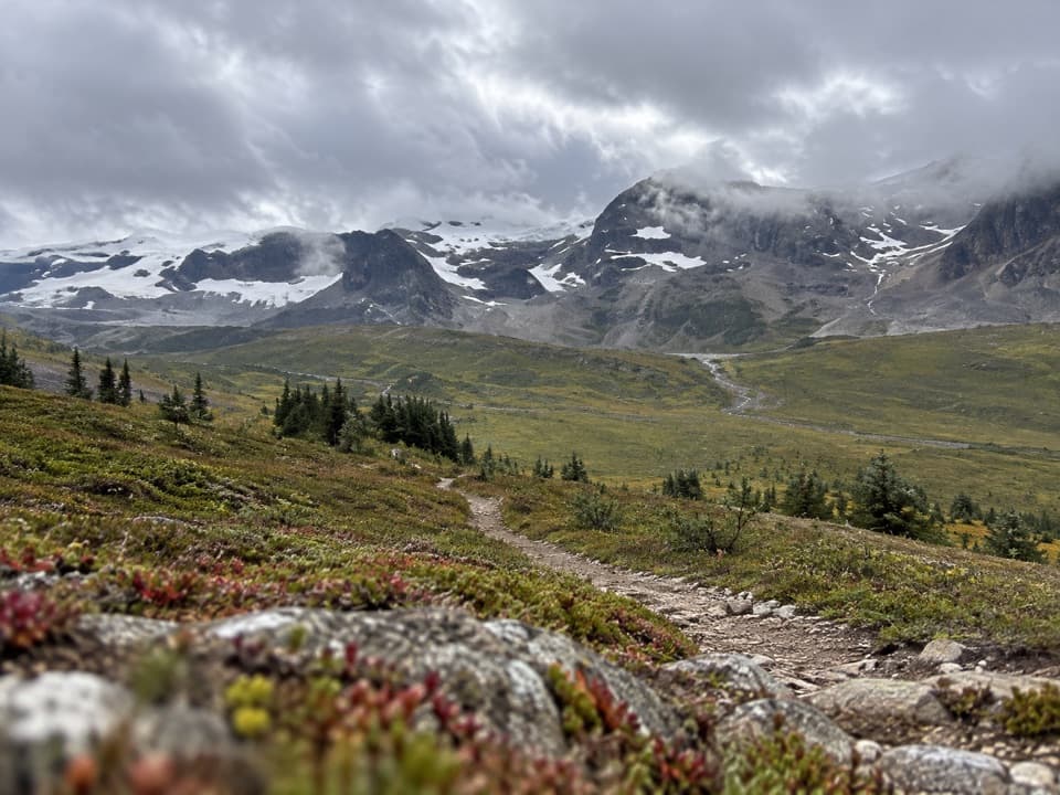
Icefields Parkway (Highway 93), AB
Five days over three passes to Brazeau Lake and Jonas Shoulder.
Overview
Map & elevation
Plan your hike

The highest, rockiest slopes around here are a summer buffet for grizzly bears.
Icefields Parkway Tour Guide
Parkwolf is a GPS audio tour guide for Icefields Parkway (Highway 93). As you drive, it chimes in with what’s ahead: hidden gems, upcoming stops, history, geology, and wildlife, right through your car’s speakers.
See the Icefields Parkway audio tourRecorded for this trailhead
Nigel Pass: A Full Valley Walk“You're nearing Nigel Creek Trailhead, where the Nigel Pass hike leads to an open saddle on the Banff–Jasper boundary.”
Plays as you drive up to this trailhead in the Parkwolf Icefields Parkway Tour Guide.
More stories near here in the app
“Fantastic app with many points of information… It’s great to just turn on while you’re driving and it gives you an audio tour of the national Park. We love it!!!!”


Trail guide
The Brazeau Loop is an 81 km (50.3 mi) backcountry circuit from Nigel Creek and back, usually completed in five days. It follows maintained trails 130, 131 and 132 in a counter-clockwise lollipop around Marble Mountain and Flat Top. The route crosses Nigel and Poboktan passes, climbs Jonas Shoulder and passes Jonas Pass, with Brazeau Lake on the loop. Expect a remote high-country backpack with long stages; this is not a day hike. The official elevation profile runs from about 1,737 m at Brazeau River campground to 2,470 m at Jonas Shoulder.
A common itinerary goes from Nigel Creek to Four Point (about 13.9 km), Four Point to Brazeau Lake (18.1 km), Brazeau Lake past John-John Creek and Poboktan Pass to Jonas Cutoff (16.2 km), Jonas Cutoff over Jonas Shoulder and Jonas Pass to Four Point (18.7 km), then back to Nigel Creek over Nigel Pass (14.2 km). These stages add up to about 81 km; day lengths and time on trail vary with pack weight, weather and stops. Overnight travel requires a backcountry camping permit, and campsites need to be arranged under the park’s current rules. Most of the named campgrounds have toilets and food lockers, but there is no food service along the route. Brazeau Lake campground sits roughly 900 m off the main trail at the lakeshore.
The first day climbs from the Nigel Creek trailhead to Nigel Pass at about 2,195 m, then descends past Boulder Creek toward Four Point. The Brazeau River section is a long valley walk, with uneven, rooty stretches near the water and necessary river fords. Beyond Brazeau Lake, the route spends a long stretch in forest before climbing toward John-John Creek and opening into alpine terrain at Poboktan Pass, about 2,300 m. The fourth day is a major effort: a steep climb of roughly 3.3 km reaches Jonas Shoulder, followed by a steep descent through Jonas Pass at about 2,320 m before Four Point.
The route alternates between river valley, forest, lake shore and open alpine slopes. Brazeau Lake and the surrounding peaks give the middle section a different feel from the long forested approaches. On Jonas Shoulder, the views open toward the Sunwapta range and surrounding high peaks; the descent leads through open meadows before returning toward the Brazeau River. Nigel Pass provides another broad look into the valley on the return. The exposed trail and changing terrain make this a particularly rewarding place to stop for a panorama, but the same open slopes leave little shelter when weather moves in.
Snow can remain on the high passes into July, and earlier travel is not recommended. Conditions can change quickly at elevation, and river levels affect the fords. Check current Parks Canada trail notices before leaving, especially for reroutes and river crossings. Dogs, bikes and horses are prohibited on the loop, and fires are not allowed at Jonas Cutoff. The route has steep high-pass sections and long distances between trailheads, so carry the required gear for a multi-day backcountry trip.
Begin at the Nigel Creek parking lot on Highway 93 North, about 13 km south of the Icefields Centre. This access also serves Nigel Pass, so use the Brazeau Loop itinerary rather than assuming every route from the lot follows the same circuit. Store the full loop distance when comparing maps: the 81 km includes the Nigel Creek stem out and back as part of the closed circuit.
Wildlife
 12 sightingsGrizzly BearMost seen around 6 AMSighting map
 127 sightingsBlack BearMost seen around 7 PMSighting map
 16 sightingsMooseMost seen around 6 AMSighting map
 100 sightingsElkMost seen around 8 PMSighting map
 34 sightingsMountain GoatMost seen around 7 PMSighting map
 53 sightingsBighorn SheepMost seen around 6 PMSighting map
Sighting maps show where each species has been reported across Icefields Parkway. Wildlife moves, so no sighting is guaranteed.
Keep exploring
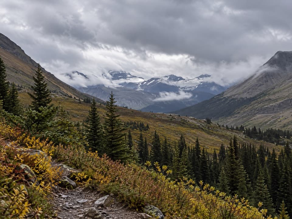 ModerateNigel Pass Trail16.8 km · 5 hr · At the trailheadA wide alpine pass rewards a steady walk up Nigel Creek.
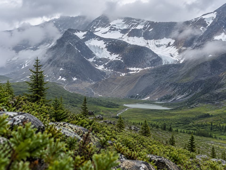 ChallengingJonas Pass-Poboktan Creek54.1 km · 3.5 days · At the trailheadA 54 km, multi-day crossing from Nigel Creek to Poboktan Creek.
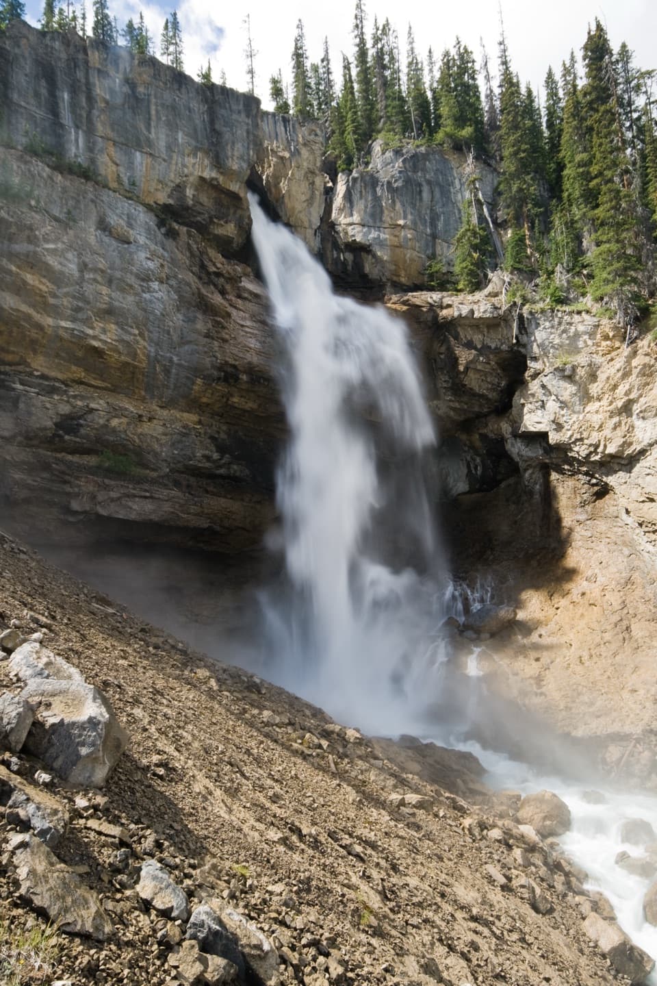 ModeratePanther Falls Trail0.8 km · 36 min · 1.1 km awayA steep little hike drops you close to Panther Falls.
 ModerateParker Ridge Trail5.6 km · 2.5 hr · 3.2 km awayA steady switchback climb ends with Saskatchewan Glacier in front of you.
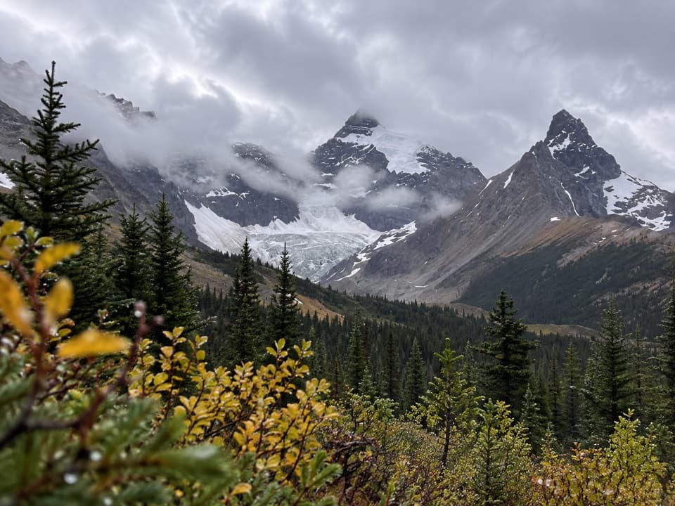 ModerateHilda Creek to Hilda Glacier5 km · 2.5 hr · 4.1 km awayAn unmarked creek climb to Hilda Glacier's moraine flats.
 EasyBoundary Lake Trail2 km · 1 hr · 6.9 km awayA faint route leads to a turquoise lake beneath Mount Athabasca.
 ModerateWilcox Pass6.8 km · 2.5 hr · 8.6 km awayA steep forest climb opens to wildflowers and icefield views.
 ModerateWilcox Ridge Viewpoint Trail9.3 km · 4 hr · 8.6 km awayAlpine meadows and an icefield panorama beyond Wilcox Pass.Sight · 1 km awayPanther FallsA 66-metre plunge tucked below Big Bend’s broad pullout.
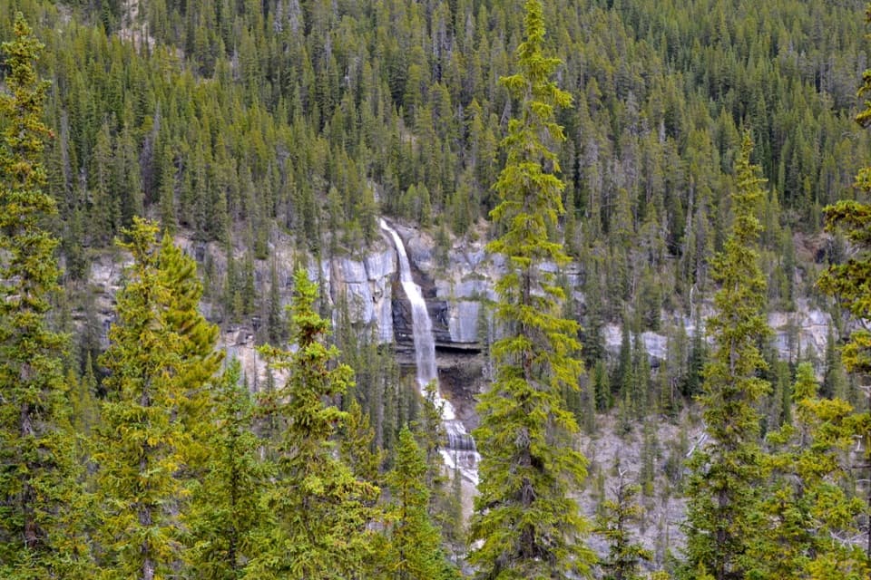 Scenic pullout · 1.1 km awayBridal Veil Falls ViewpointA quick roadside stop for a white cascade on Cirrus Mountain.
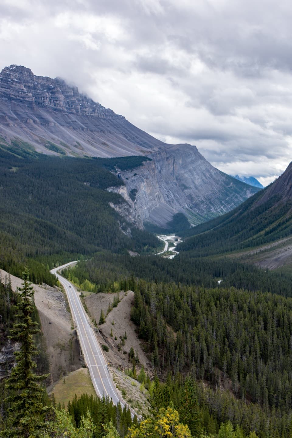 Scenic pullout · 1.5 km awayBig Bend ViewpointA quick roadside look at the Parkway’s Big Bend.
 Lodging · 4.2 km awayHI Hilda Creek Wilderness HostelA six-bed off-grid hostel for a group on the Icefields Parkway.
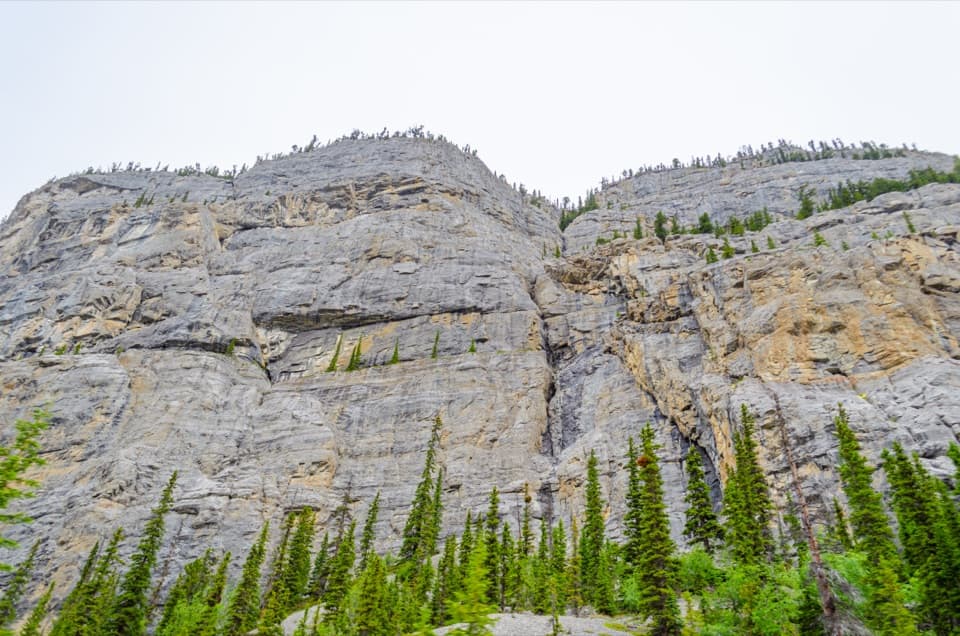 Scenic pullout · 5.4 km awayWeeping Wall ViewpointSpring cascades and winter ice transform this 300-m cliff.
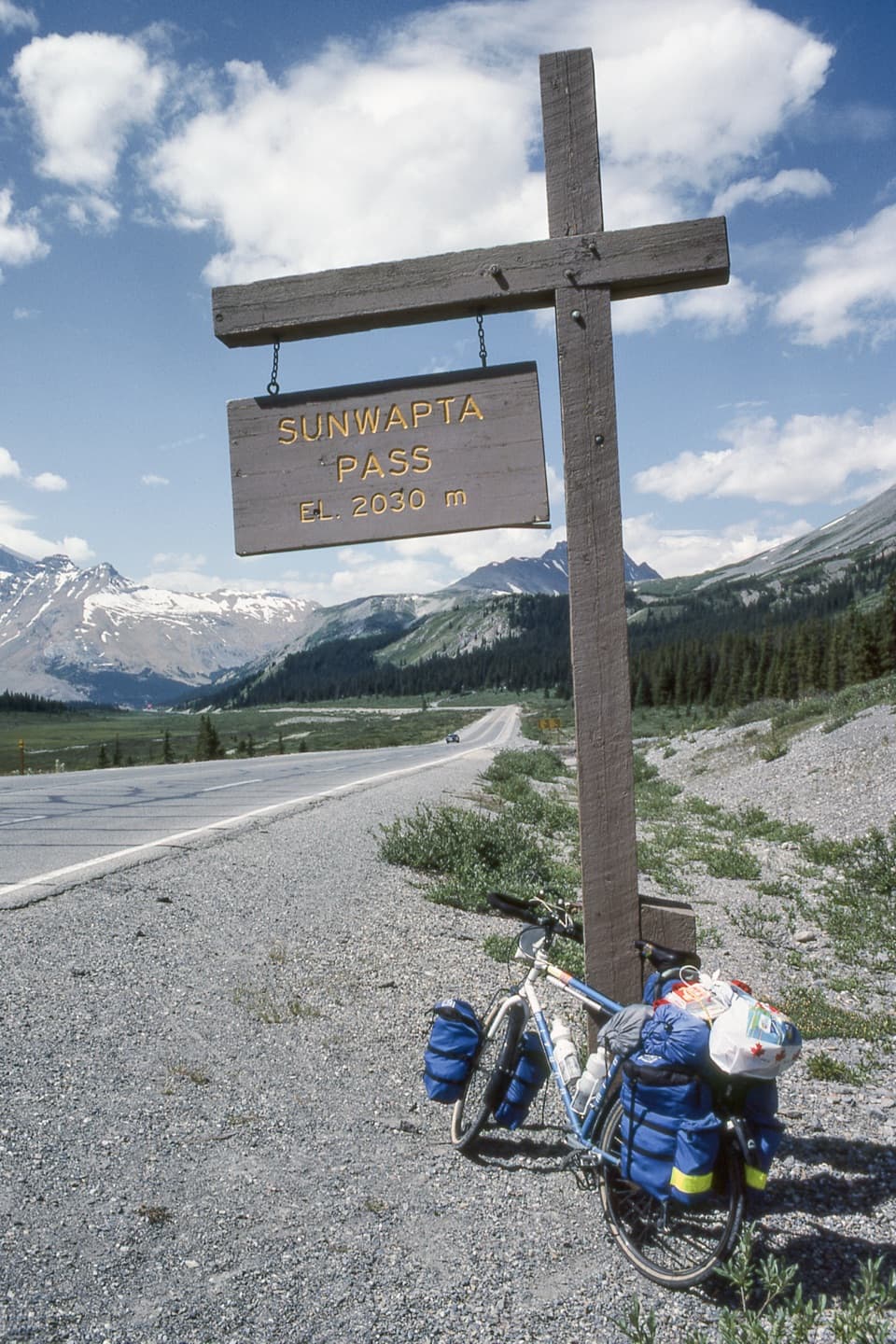 Scenic pullout · 6.9 km awaySunwapta Pass ViewpointA quick pullout at the continental divide with sweeping alpine views.
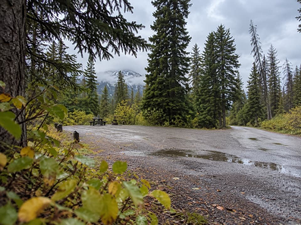 Campground · 8.1 km awayWilcox Creek CampgroundA wooded mountain camp beside the Wilcox Pass trailhead.
 Campground · 9.9 km awayIcefield Tent CampgroundA rustic tent camp with glacier views from many sites.
Parkwolf’s Icefields Parkway ranking

The audio tour guide for the drive, plus offline maps, trails, and wildlife heatmaps for when the signal drops.



