Maligne Pass Trail in Icefields Parkway (Highway 93)

Icefields Parkway (Highway 93), AB

Maligne Pass Trail

A rough 48 km traverse to an alpine lake, fords, and wildflowers.

Length
48km
Time
2.5days
Elev. change
704m
Difficulty
Challenging
  • No dogs
  • High point 2,246 m

Hear the audio tour

Poboktan Creek: A Backcountry Starting Point

Overview

About Maligne Pass Trail

Why go

  • Open alpine meadows and a lake at the pass
  • Four camps with toilets and food storage

Heads up

  • Long point-to-point logistics and advance overnight booking
  • Boggy tread, vulnerable bridges, fords, and deadfall
Maligne Pass is a 48 km (29.8 mi) one-way backcountry traverse from Poboktan Creek on Highway 93 to the trailhead at the end of Maligne Lake Road. Plan two to three days with overnight gear; this is not a loop or a day hike. You climb to a high pass and alpine lake, then descend into the remote Maligne Valley. Arrange transport between the two ends before you start.
Parkwolf’s verdictIs this the trip for you?

Map & elevation

The route

Loading the Icefields Parkway map
Full map
Elevation1,542–2,246 m
TrailheadPoboktan Creek Trailhead parking area52.44930, -117.44190
Keep this map with you offline in the Parkwolf app

Plan your hike

Before you go

Parking

From Jasper, drive south about 75 km on Highway 93. Just beyond Sunwapta Station, cross the small bridge over Poboktan Creek and turn left into the parking lot; the trail begins behind the station. The route finishes at the end of Maligne Lake Road, so arrange transport between the two trailheads.

Best time to go

Four designated campgrounds lie along the route: Avalanche at 11 km, Mary Vaux at 18 km, Schäffer at 29 km, and Trapper Creek at 43 km from the start. Overnight camping requires a backcountry permit and reservation. The campgrounds have toilets and food storage. Snow can linger at this elevation late into the season, so late summer and fall are the better window; the route remains a demanding wilderness trip whenever you go.

Safety

Small Poligne Creek bridges are prone to washouts. Expect multiple river fords, which can be difficult in high water; the northern trail can be faint with significant deadfall. Snow may linger at high elevation late in the season.

2 active Icefields Parkway alerts

  • ClosureWildfire-impacted area closures in JasperStay out of the closed wildfire-impacted areas in Jasper National Park; access is prohibited or restricted to protect public safety.Official details
  • ClosureOpal Hills hiking area closed for grizzly bearThe Opal Hills hiking area is closed because a female grizzly bear with two offspring is in the area. - The closure took effect September 25, 2026, and remains in effect until further notice.Official details
Icefields Parkway alerts
A park ranger sits on a dash-mounted phone, talking, as Parkwolf’s Tour Guide plays “Army Cutworm Moths: A Grizzly Bear Buffet” on Grand Loop Road below Dunraven Pass in Yellowstone
Parkwolf Tour GuideThe highest, rockiest slopes around here are a summer buffet for grizzly bears.

Icefields Parkway Tour Guide

Your drive to Maligne Pass Trail, narrated.

Parkwolf is a GPS audio tour guide for Icefields Parkway (Highway 93). As you drive, it chimes in with what’s ahead: hidden gems, upcoming stops, history, geology, and wildlife, right through your car’s speakers.

See the Icefields Parkway audio tour

Recorded for this trailhead

Poboktan Creek: A Backcountry Starting Point
0:00 / 0:28
“You're nearing Poboktan Creek trailhead, the start of long backcountry routes to alpine passes and lakes.”

Plays as you drive up to this trailhead in the Parkwolf Icefields Parkway Tour Guide.

More stories near here in the app

  • Fossils with Their Insides Intact
  • Samson Beaver’s Map
  • The Raven’s Aerial Acrobatics
  • Why the Valleys Have Wide Floors
  • 141 audio storiesacross Icefields Parkway’s roads, triggered by GPS as you drive
  • Wildlife heatmapsfor Grizzly Bear, Black Bear, Moose, and 13 more
  • Works offlinemaps, 54 trails, 57 places, and audio download before you lose signal
  • CarPlay readysimple controls built for the drive
★★★★★
“Fantastic app with many points of information… It’s great to just turn on while you’re driving and it gives you an audio tour of the national Park. We love it!!!!”
JMJamesApp Store review
Download Parkwolf on the App StoreGet Parkwolf on Google Play

4.7 from 8,600+ ratings

Trail guide

Hiking Maligne Pass Trail

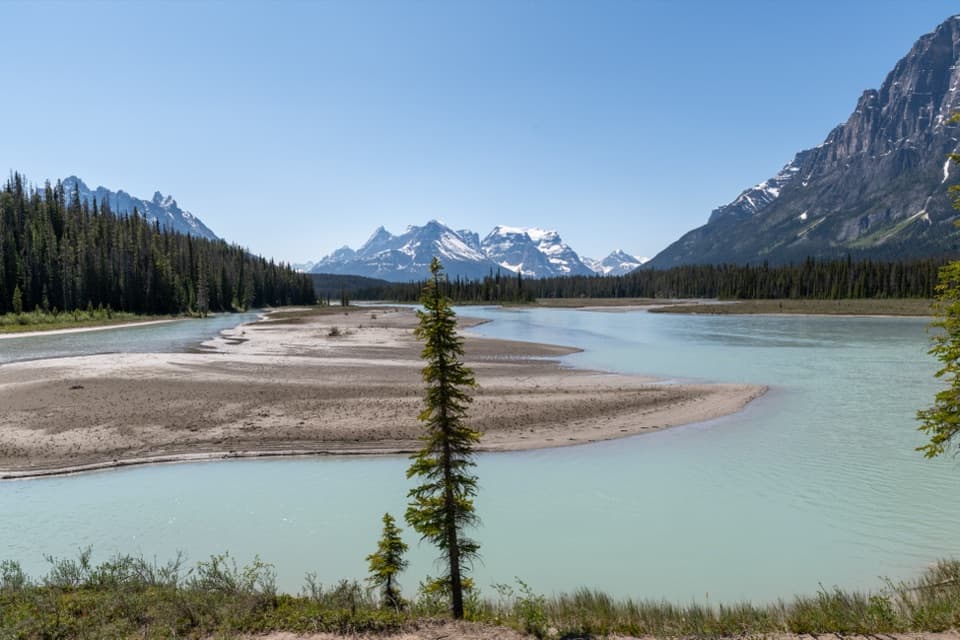
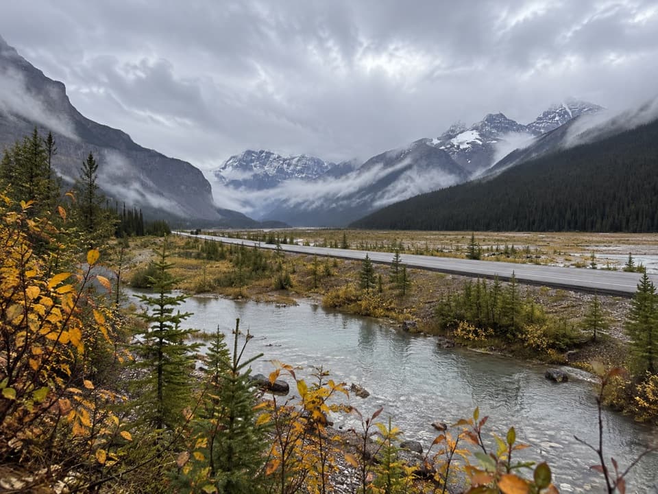
Up Poboktan and into Poligne ValleyThe route climbs steadily for 6 km along the north side of Poboktan Creek.

The route climbs steadily for 6 km along the north side of Poboktan Creek. At the junction, turn left, north into Poligne Valley. You cross Poligne Creek several times on small bridges that can wash out or be damaged. The valley floor levels shortly before Avalanche Campground, then the tread becomes boggy on the approach to the pass.

The pass and its lakeAbout 4 km beyond Avalanche, the trail reaches Maligne Pass and an alpine lake.

About 4 km beyond Avalanche, the trail reaches Maligne Pass and an alpine lake. Open meadows, wildflowers, the tarn, and surrounding ridges make this the scenic high point of the trip. This is a short part of a much longer crossing, so keep the itinerary realistic for the rough miles still ahead.

The rough north sideFrom the pass the route drops to Maligne River and requires fords to reach Mary Vaux Campground.

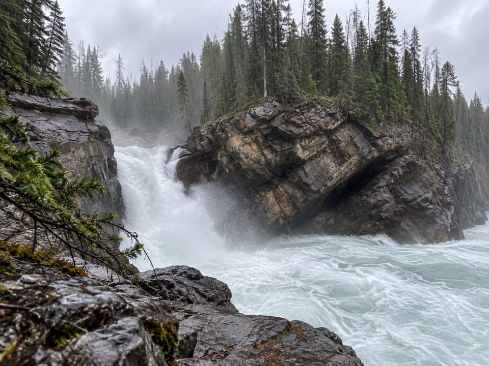
From the pass the route drops to Maligne River and requires fords to reach Mary Vaux Campground. North of there, the tread can grow faint, and significant deadfall slows route-finding. More river fords come farther down the valley. Forest and willow meadows lead past Schäffer and Trapper Creek to the Maligne Lake Road endpoint; high water can make the crossings difficult.

Access, wildlife, and servicesThe start is at Poboktan Creek on the Parkway and the finish is at the end of Maligne Lake…

The start is at Poboktan Creek on the Parkway and the finish is at the end of Maligne Lake Road, so arrange transport between trailheads. The route crosses sensitive grizzly and caribou habitat; follow wildlife-safe practices and use the designated food storage at camp. A small café and gift shop at Maligne Lake are separate stops near the finish, not services along the route. Dogs, bikes, and horses are prohibited.

Wildlife

Wildlife in Icefields Parkway

All Icefields Parkway wildlife maps

Sighting maps show where each species has been reported across Icefields Parkway. Wildlife moves, so no sighting is guaranteed.

Parkwolf’s Icefields Parkway ranking

Top-rated trails in Icefields Parkway

All 54 trails
  1. 1Parker Ridge TrailModerate · 5.6 km
  2. 2Peyto Lake Lookout TrailEasy · 1.2 km
  3. 3Wilcox PassModerate · 6.8 km
  4. 4Bow Glacier Falls TrailModerate · 9.1 km
  5. 5Helen Lake TrailModerate · 11.8 km
  6. 6Path of the Glacier TrailModerate · 1.6 km

Take Parkwolf to Icefields Parkway.

The audio tour guide for the drive, plus offline maps, trails, and wildlife heatmaps for when the signal drops.

4.7 from 8,600+ ratings

Download Parkwolf on the App StoreGet Parkwolf on Google Play