Parking
Start at the designated Parker Ridge parking area and rest stop on the Icefields Parkway, about 9 km south of Icefield Centre. A toilet is available at the lot. Roadside parking is prohibited; use only designated parking.

#1 of 54 trails in Icefields Parkway
Icefields Parkway (Highway 93), AB
A steady switchback climb ends with Saskatchewan Glacier in front of you.
Overview
Parker Ridge Trail is a signed out-and-back from the Icefields Parkway to a tundra ridge and a view of Saskatchewan Glacier. From the designated parking area, allow about 3.45 miles (5.55 km) round trip and two to three hours. The route climbs switchbacks through stunted trees, crosses the ridge and drops slightly on its far side to the glacier-facing lookout. Choose it if you want a proper uphill walk for a high, open view; skip it if you need a flat stroll or only have time for a quick roadside stop. The climb is steady, and the trail is classified as moderate.
 Parkwolf’s verdictIs the climb worth it?
Map & elevation
Plan your hike

The highest, rockiest slopes around here are a summer buffet for grizzly bears.
Icefields Parkway Tour Guide
Parkwolf is a GPS audio tour guide for Icefields Parkway (Highway 93). As you drive, it chimes in with what’s ahead: hidden gems, upcoming stops, history, geology, and wildlife, right through your car’s speakers.
See the Icefields Parkway audio tourRecorded for this trailhead
Parker Ridge: Beyond the First Crest“You're approaching the Parker Ridge trailhead, my pick for a proper uphill walk with a glacier view.”
Plays as you drive up to this trailhead in the Parkwolf Icefields Parkway Tour Guide.
More stories near here in the app
“Fantastic app with many points of information… It’s great to just turn on while you’re driving and it gives you an audio tour of the national Park. We love it!!!!”


Trail guide
The path rises almost from the start, following a succession of turns on a gravel path. The first part is the most demanding, with the sustained climb continuing for much of the way to treeline. Stunted trees give way to open alpine ground, and views back toward the Icefields Parkway and surrounding peaks appear as the slope clears. The path is visible, so the main work is the climb rather than route-finding. Save some energy for the descent: loose gravel can slide underfoot, especially after rain or when snow is melting.
The first crest is not the end of the marked walk. Continue over the top and slightly down the other side; that is where the fuller view opens toward Saskatchewan Glacier. At the upper junction, follow the marked glacier-facing route rather than wandering onto an unmarked branch. The trail record ends at this ordinary viewpoint. Continuing along the ridge toward West Peak is a longer, rougher scramble, not part of the standard hike.
Saskatchewan Glacier spills down from the Columbia Icefield into the valley below and feeds the North Saskatchewan River. From Parker Ridge you see it from above and across the valley; this trail does not take you to the ice. The glacier tongue, pale meltwater lake and braided riverbed make a wide, layered view, with steep rock walls and high peaks around them. For a photo, include some of the foreground slope or forest as well as the ice so the valley's scale stays visible.
In midsummer, pink heather, fleabane and Indian paintbrush add colour among the rock and low alpine plants. Give the plants space and keep to the path: the ground above treeline is fragile, and shortcuts wear new lines into it. The open ridge is also more exposed to wind than the trees below, so bring a warm layer even when the parking area feels mild.
Use the designated Parker Ridge parking area and rest stop on the Icefields Parkway, about 9 km south of Icefield Centre. A toilet is available at the lot. Roadside parking is prohibited, so do not count on the highway shoulder as overflow. There is no food or water service along the hike; carry what you need, or use the Icefield Centre as a separate stop. Dogs may accompany hikers on summer trails unless a trail restriction says otherwise; keep them leashed and under physical control.
Published round trips range from about 4.0 to 6.8 km. The 4.0 km figure stops at the ridge saddle; the 5.1 km and 6.8 km reports may use different endpoints or route traces. This record follows the mapped access from the parking area to the marked glacier-facing viewpoint, then returns on the same path; its one-way geometry measures about 2.77 km. It excludes informal ridge wandering and the West Peak scramble. Snow can linger into July, so check current conditions before setting out, especially early in the season.
Wildlife
 12 sightingsGrizzly BearMost seen around 6 AMSighting map
 127 sightingsBlack BearMost seen around 7 PMSighting map
 16 sightingsMooseMost seen around 6 AMSighting map
 100 sightingsElkMost seen around 8 PMSighting map
 34 sightingsMountain GoatMost seen around 7 PMSighting map
 53 sightingsBighorn SheepMost seen around 6 PMSighting map
Sighting maps show where each species has been reported across Icefields Parkway. Wildlife moves, so no sighting is guaranteed.
Keep exploring
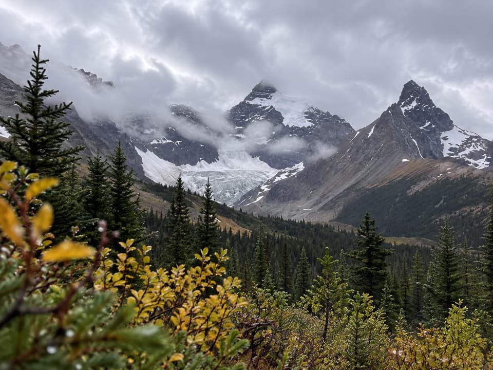 ModerateHilda Creek to Hilda Glacier5 km · 2.5 hr · 0.9 km awayAn unmarked creek climb to Hilda Glacier's moraine flats.
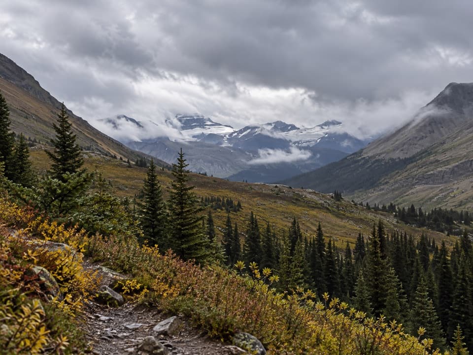 ModerateNigel Pass Trail16.8 km · 5 hr · 3.2 km awayA wide alpine pass rewards a steady walk up Nigel Creek.
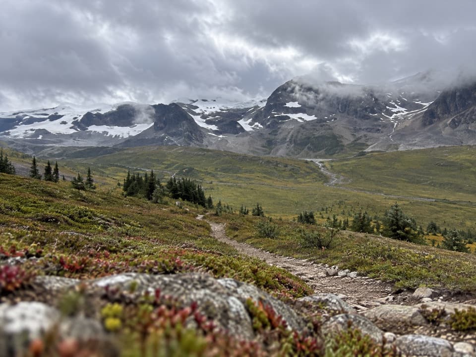 ChallengingThe Brazeau Loop81 km · 1.3 days · 3.2 km awayFive days over three passes to Brazeau Lake and Jonas Shoulder.
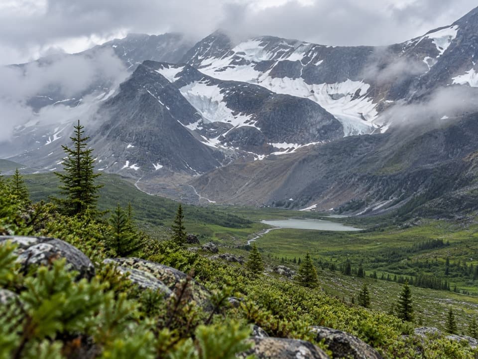 ChallengingJonas Pass-Poboktan Creek54.1 km · 3.5 days · 3.2 km awayA 54 km, multi-day crossing from Nigel Creek to Poboktan Creek.
 EasyBoundary Lake Trail2 km · 1 hr · 3.9 km awayA faint route leads to a turquoise lake beneath Mount Athabasca.
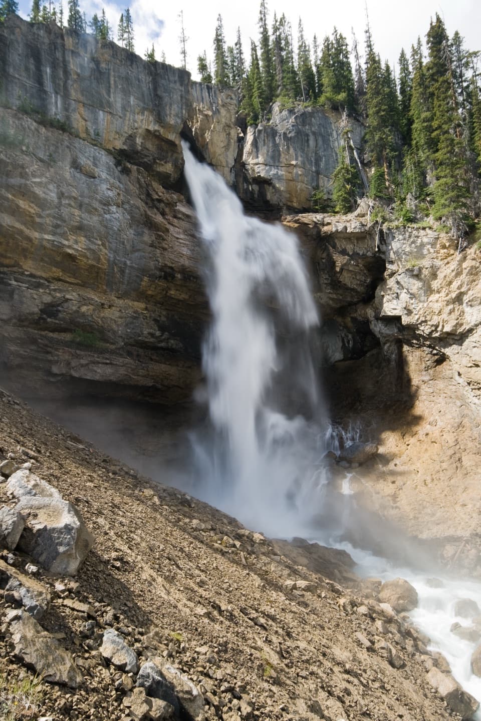 ModeratePanther Falls Trail0.8 km · 36 min · 4.2 km awayA steep little hike drops you close to Panther Falls.
 ModerateWilcox Pass6.8 km · 2.5 hr · 5.6 km awayA steep forest climb opens to wildflowers and icefield views.
 ModerateWilcox Ridge Viewpoint Trail9.3 km · 4 hr · 5.6 km awayAlpine meadows and an icefield panorama beyond Wilcox Pass.
 Lodging · 1 km awayHI Hilda Creek Wilderness HostelA six-bed off-grid hostel for a group on the Icefields Parkway.
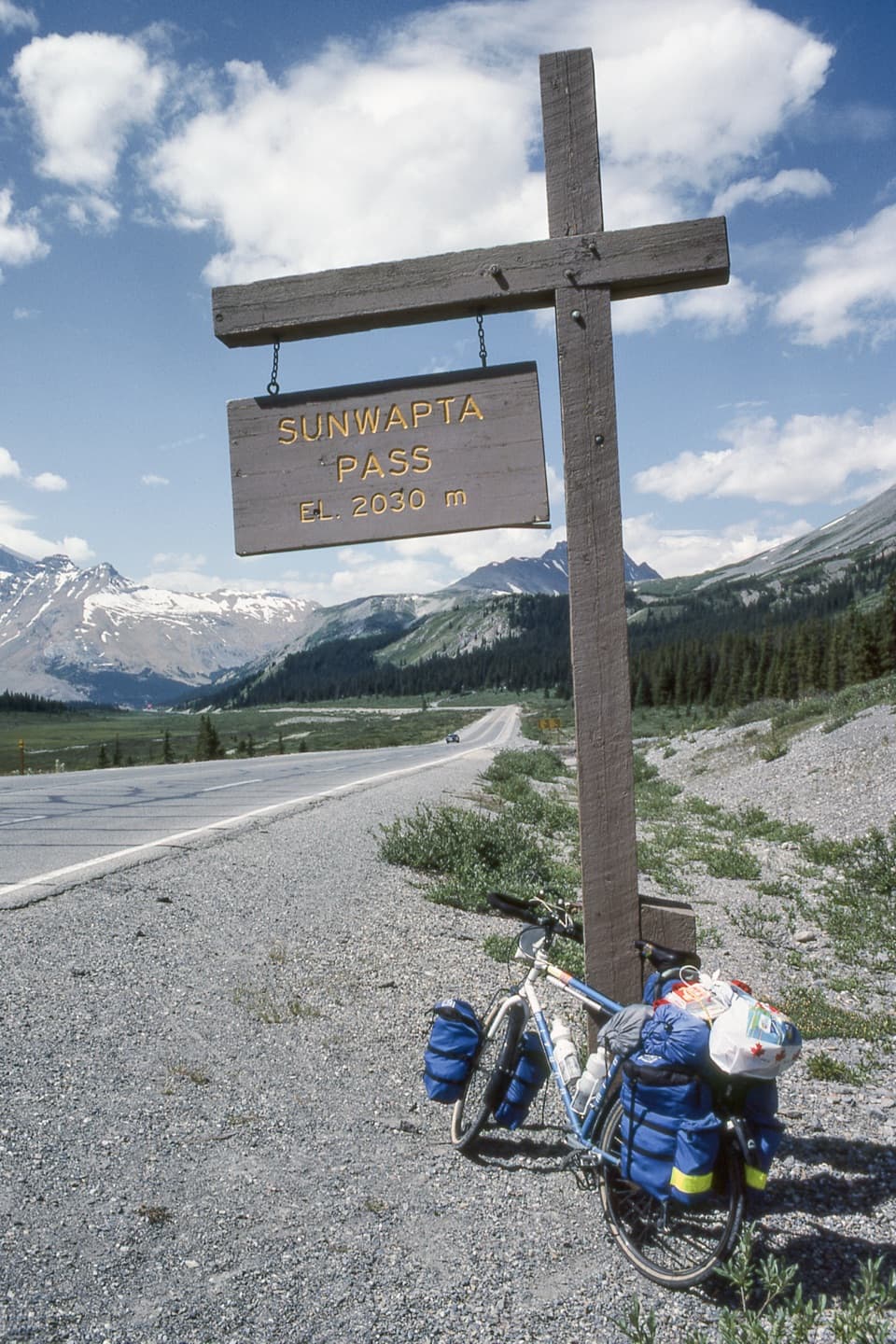 Scenic pullout · 3.9 km awaySunwapta Pass ViewpointA quick pullout at the continental divide with sweeping alpine views.Sight · 4.1 km awayPanther FallsA 66-metre plunge tucked below Big Bend’s broad pullout.
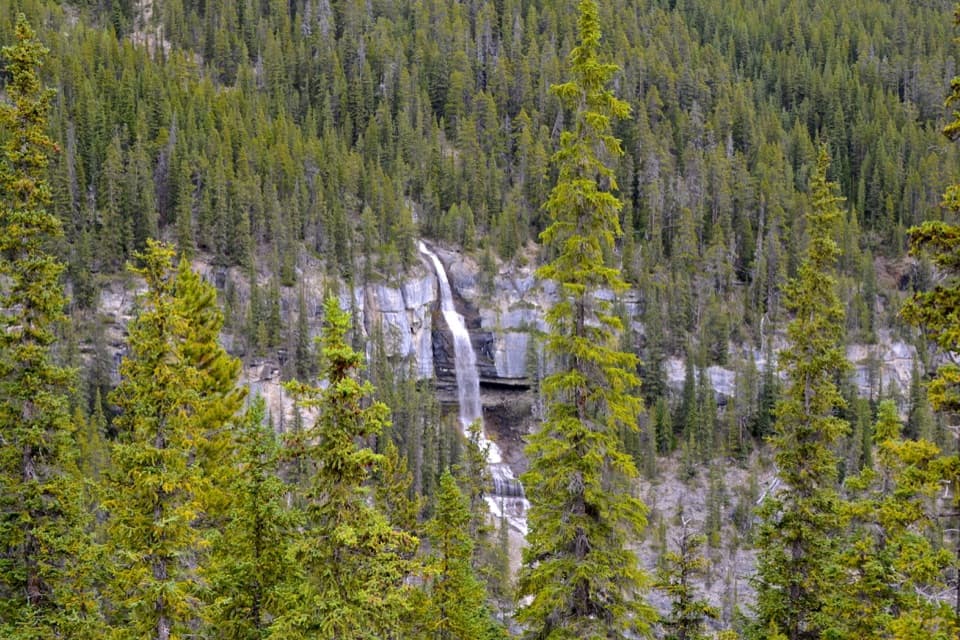 Scenic pullout · 4.2 km awayBridal Veil Falls ViewpointA quick roadside stop for a white cascade on Cirrus Mountain.
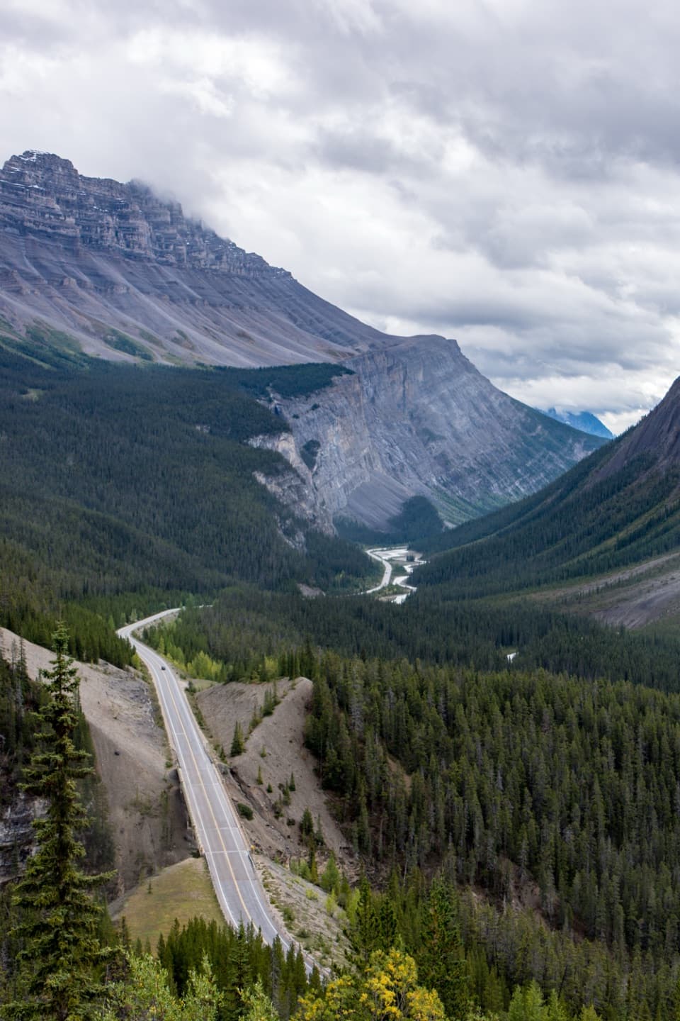 Scenic pullout · 4.5 km awayBig Bend ViewpointA quick roadside look at the Parkway’s Big Bend.
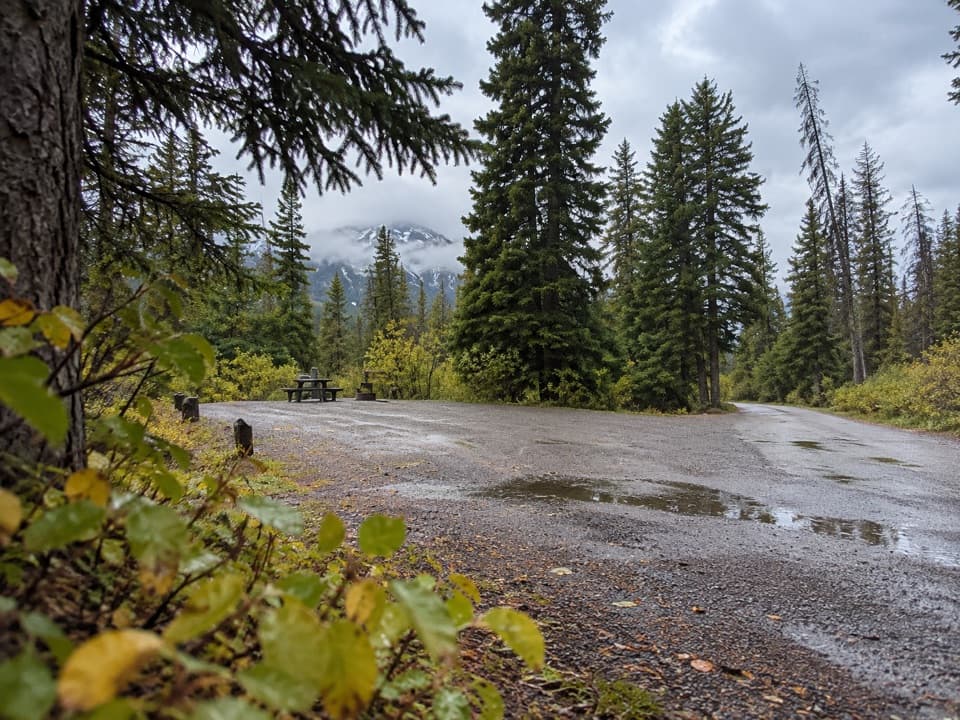 Campground · 5.1 km awayWilcox Creek CampgroundA wooded mountain camp beside the Wilcox Pass trailhead.
 Campground · 6.8 km awayIcefield Tent CampgroundA rustic tent camp with glacier views from many sites.
 Visitor center · 8 km awayColumbia Icefield Discovery CentreA warm indoor stop facing the Athabasca Glacier.
Parkwolf’s Icefields Parkway ranking
The audio tour guide for the drive, plus offline maps, trails, and wildlife heatmaps for when the signal drops.




