Parking
Poboktan Creek trailhead parking is on Highway 93N near Sunwapta Warden Station, north of the bridge. The route ends at a backcountry junction; plan your onward travel or return in advance.

Icefields Parkway (Highway 93), AB
Creek forest leads to a broad pass and Brazeau Lake
Overview
Map & elevation
Plan your hike

The highest, rockiest slopes around here are a summer buffet for grizzly bears.
Icefields Parkway Tour Guide
Parkwolf is a GPS audio tour guide for Icefields Parkway (Highway 93). As you drive, it chimes in with what’s ahead: hidden gems, upcoming stops, history, geology, and wildlife, right through your car’s speakers.
See the Icefields Parkway audio tourRecorded for this trailhead
Poboktan Creek: A Backcountry Starting Point“You're nearing Poboktan Creek trailhead, the start of long backcountry routes to alpine passes and lakes.”
Plays as you drive up to this trailhead in the Parkwolf Icefields Parkway Tour Guide.
More stories near here in the app
“Fantastic app with many points of information… It’s great to just turn on while you’re driving and it gives you an audio tour of the national Park. We love it!!!!”


Trail guide
Poboktan Pass Trail is a remote, one-way backcountry hike from the Poboktan Creek trailhead on Highway 93 to the South Boundary Trail junction beyond Brazeau Lake. It climbs through creekside forest, crosses an open alpine pass and descends the John-John Creek valley. A detailed route listing gives 23.1 miles one way; the connected mapped line measures 24.1 miles. Plan for roughly 23–24 miles, and arrange camps and an exit or return route before setting out. This is a multi-day trip, not a day hike. Overnight travel requires a backcountry camping permit and reservation.
The first eight miles climb gradually through fir forest beside Poboktan Creek, with side creeks along the way. The larger crossings are bridged, though other crossings may not be. Poboktan Trail Camp is about 4.6 miles in; Waterfalls Trail Camp, around mile 7.6, sits beside a prominent waterfall. The forest briefly opens to creek-valley meadows, then closes again as the route climbs toward the Jonas Pass Trail junction at roughly mile 13.3.
Past the junction, the trail climbs through thinning forest and meadow to the open pass. Poboktan Pass stretches across more than two miles of alpine terrain, with broad mountain and valley views. The upper route is exposed to weather, and snow can linger on the pass into July. Elevation references differ: terrain sampling and an independent elevation dataset place a local high point near 2,440 metres, while published route figures list a lower high point and Parks Canada lists the pass at 2,300 metres. Treat those elevations as approximate.
The trail drops steeply from the pass into fir forest, then follows John-John Creek through a narrow valley between high rock ridges. John-John Trail Camp is around mile 17.7. A bridge crosses the creek near mile 20.5; after a short climb, Brazeau Lake first appears through the trees. Another bridge crosses the lake outlet, with a campground spur nearby.
From the outlet, continue about 1.3 miles along the river to the South Boundary Trail junction. The end is another backcountry junction rather than a road, so plan the onward route or return before starting. Dogs are prohibited on the represented trails. The public trailhead parking is at Poboktan Creek on Highway 93, near Sunwapta Warden Station north of the bridge.
Wildlife
 12 sightingsGrizzly BearMost seen around 6 AMSighting map
 127 sightingsBlack BearMost seen around 7 PMSighting map
 16 sightingsMooseMost seen around 6 AMSighting map
 100 sightingsElkMost seen around 8 PMSighting map
 34 sightingsMountain GoatMost seen around 7 PMSighting map
 53 sightingsBighorn SheepMost seen around 6 PMSighting map
Sighting maps show where each species has been reported across Icefields Parkway. Wildlife moves, so no sighting is guaranteed.
Keep exploring
 ChallengingMaligne Pass Trail48 km · 2.5 days · At the trailheadA rough 48 km traverse to an alpine lake, fords, and wildflowers.
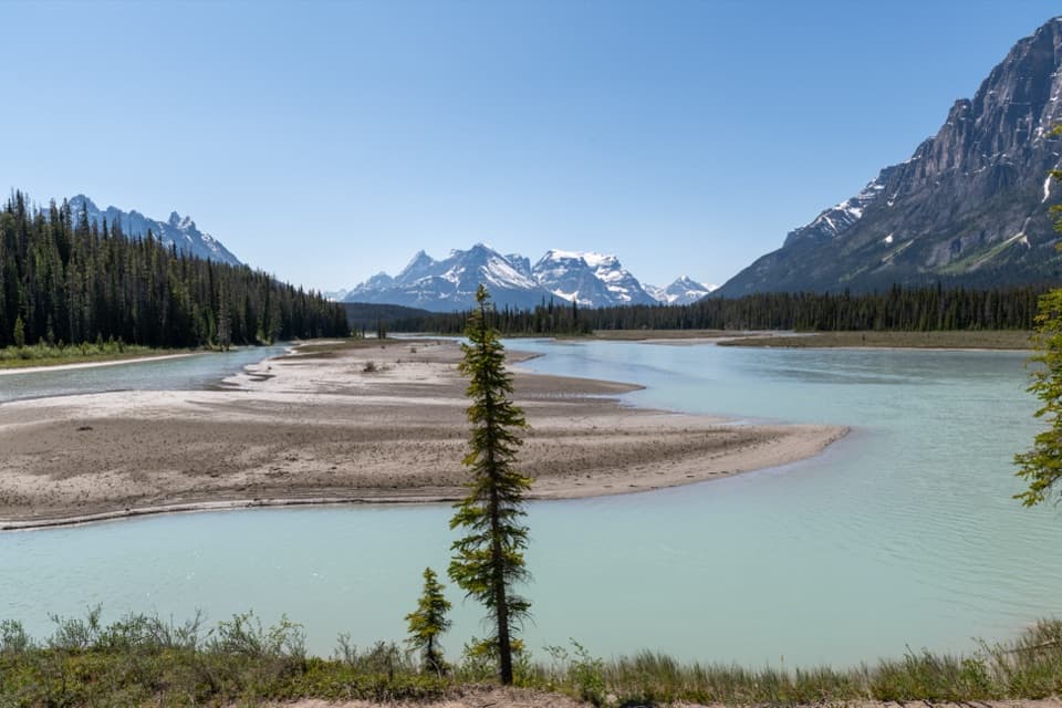 ModerateChaba Trail: Big Bend and Athabasca Crossing29.6 km · 10 hr · 16.6 km awayAn old forest road opens onto Dragon Peak above the Athabasca.
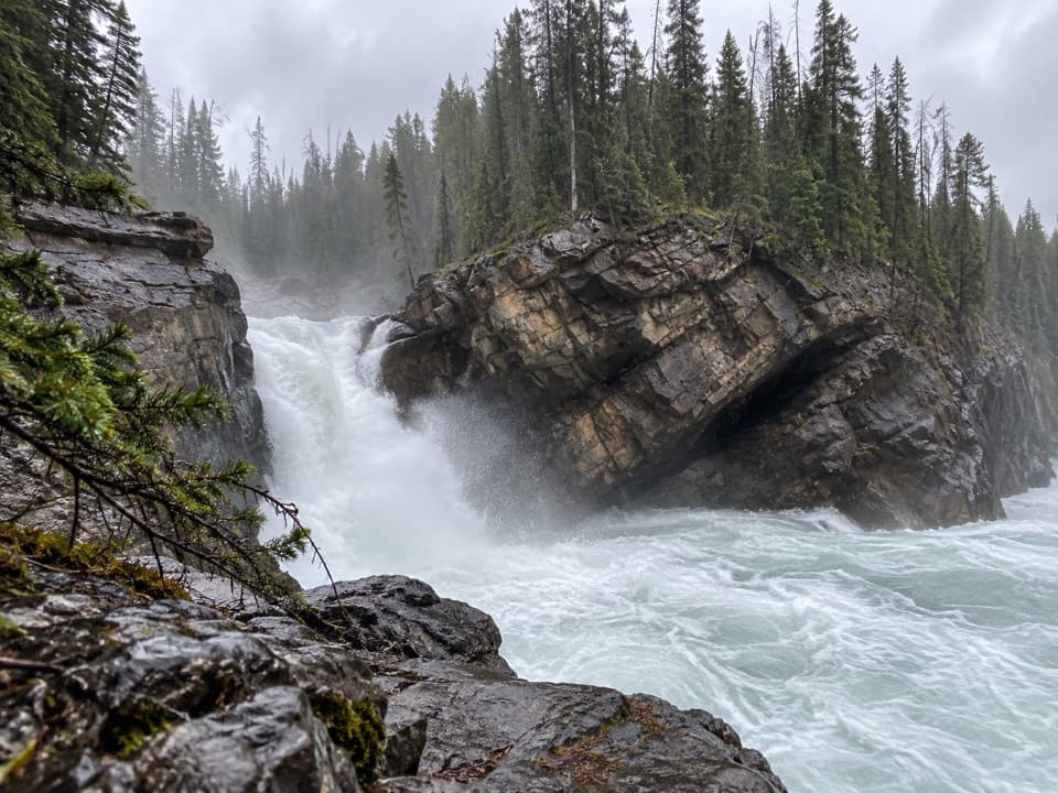 ModerateLower Sunwapta Falls Trail2.6 km · 1 hr · 16.6 km awayThree cascades await beyond the upper falls access
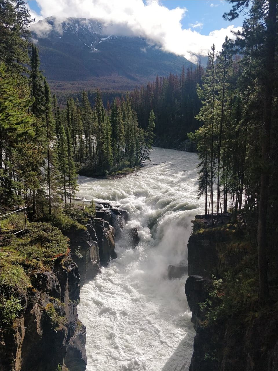 EasySunwapta Falls Trail0.4 km · 15 min · 16.6 km awayA quick paved walk to roaring water and a deep limestone gorge.
 Campground · 4.8 km awayJonas Creek CampgroundA wooded first-come campground for an overnight on the Icefields Parkway.
 Scenic pullout · 12 km awayMushroom and Diadem Peaks ViewpointTwo glacier-covered peaks, no hike required.
 Lodging · 13.6 km awayHI Beauty Creek Wilderness HostelSleep by the Sunwapta under Jasper's dark skies.
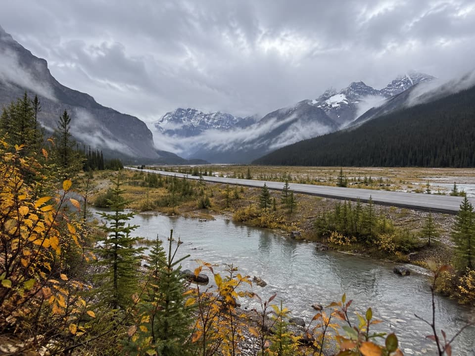 Scenic pullout · 15.5 km awayBeauty Creek ViewpointA quick creekside pause before the Stanley Falls hike.
Parkwolf’s Icefields Parkway ranking

The audio tour guide for the drive, plus offline maps, trails, and wildlife heatmaps for when the signal drops.





