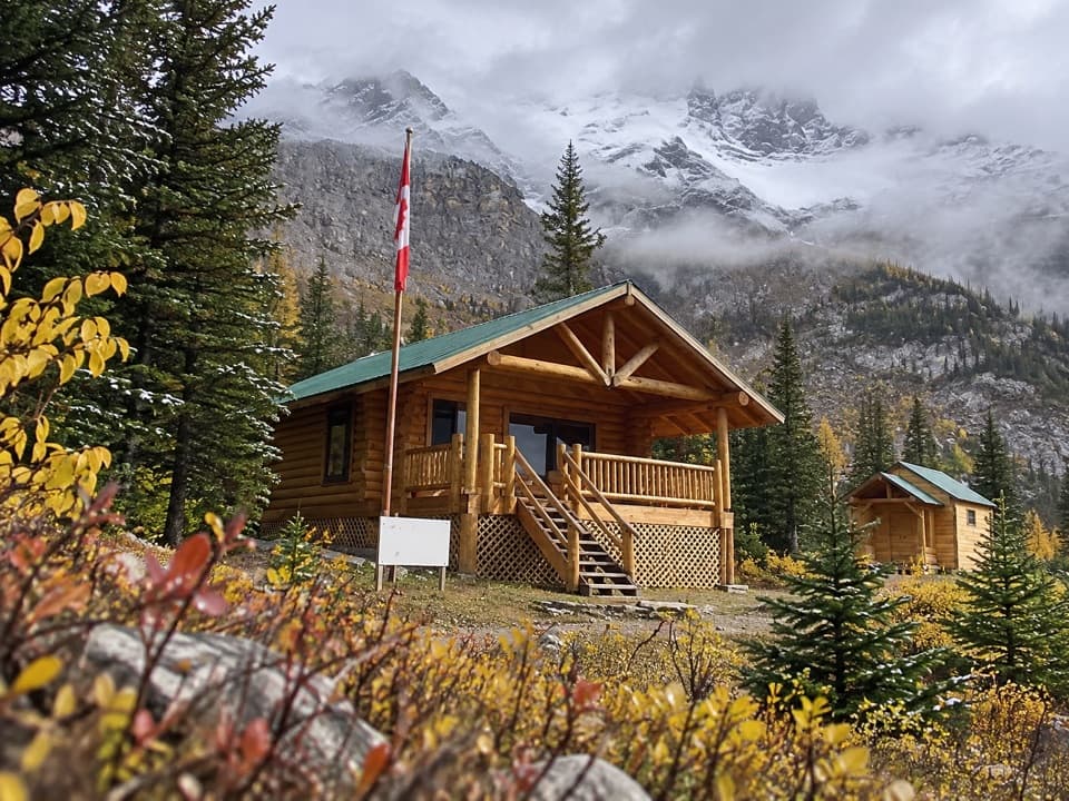
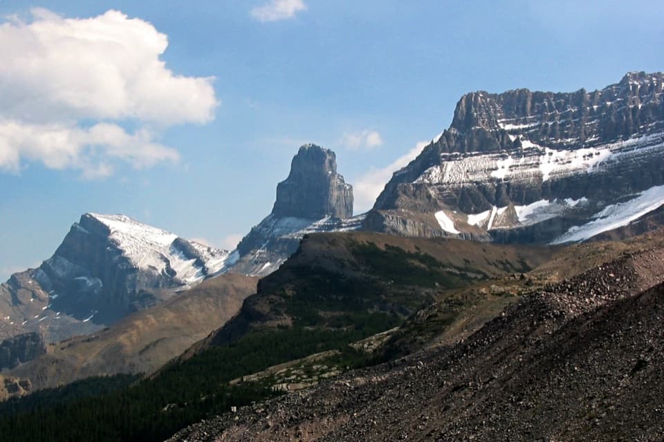
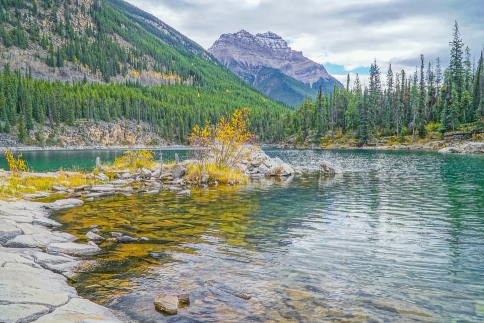
Path of the Glacier Trail in Icefields Parkway (Highway 93)

#6 of 54 trails in Icefields Parkway

Icefields Parkway (Highway 93), AB

Path of the Glacier Trail

A steady climb to Angel Glacier's high cirque viewpoint

Photo: Wikimedia Commons
Length
1.6km
Time
1hr
Elev. change
72m
Difficulty
Moderate
  • No dogs
  • High point 1,810 m

Hear the audio tour

Path of the Glacier: The Cavell Viewpoint

Overview

About Path of the Glacier Trail

Why go

  • A short walk reaches a defining view of Cavell Pond and Angel Glacier.

Heads up

  • The steady uphill grade and rocky upper tread make it more than a stroll.

Map & elevation

The route

Loading the Icefields Parkway map
Full map
Elevation1,738–1,810 m
TrailheadMount Edith Cavell Parking Lot, end of Cavell Road52.68733, -118.05578
Keep this map with you offline in the Parkwolf app

Plan your hike

Before you go

Parking

Use the Mount Edith Cavell parking lot at the end of Cavell Road, a 14 km narrow, winding spur from Highway 93A. Vehicles longer than 7.5 m (25 ft), trailers, and large motorhomes cannot continue up the road; an oversized-vehicle drop-off is at its entrance on 93A.

Best time to go

All access to the Cavell area is prohibited from November 1 through May 15 to protect winter habitat for the Tonquin caribou herd. Dogs are also prohibited in the Cavell Meadows area and within 500 m of Trail 42. Path 41 shares its first 0.5 km with that trail, so leave pets behind for this walk. The road and trail can have additional seasonal or temporary closures; check current access before driving up.

Safety

Falling boulders and ice, and snow avalanches, remain hazards in this unstable glacial basin. Stay on the marked trail; do not approach Angel Glacier or the pond edge. Dogs are prohibited on the shared first 0.5 km with Trail 42. All access is prohibited November 1 through May 15.

2 active Icefields Parkway alerts

  • ClosureWildfire-impacted area closures in JasperStay out of the closed wildfire-impacted areas in Jasper National Park; access is prohibited or restricted to protect public safety.Official details
  • ClosureOpal Hills hiking area closed for grizzly bearThe Opal Hills hiking area is closed because a female grizzly bear with two offspring is in the area. - The closure took effect September 25, 2026, and remains in effect until further notice.Official details
Icefields Parkway alerts
A park ranger sits on a dash-mounted phone, talking, as Parkwolf’s Tour Guide plays “Army Cutworm Moths: A Grizzly Bear Buffet” on Grand Loop Road below Dunraven Pass in Yellowstone
Parkwolf Tour GuideThe highest, rockiest slopes around here are a summer buffet for grizzly bears.

Icefields Parkway Tour Guide

Your drive to Path of the Glacier Trail, narrated.

Parkwolf is a GPS audio tour guide for Icefields Parkway (Highway 93). As you drive, it chimes in with what’s ahead: hidden gems, upcoming stops, history, geology, and wildlife, right through your car’s speakers.

See the Icefields Parkway audio tour

Recorded for this trailhead

Path of the Glacier: The Cavell Viewpoint
0:00 / 0:27
“You're coming up on Path of the Glacier, at the end of Cavell Road. Allow an hour for the one point six kilometre return walk, with a steady climb and rough ground beyond the pavement.”

Plays as you drive up to this trailhead in the Parkwolf Icefields Parkway Tour Guide.

More stories near here in the app

  • Retreating Ice Still Moves
  • The Pika’s Winter Pantry
  • An Ancient Seabed, Folded Up
  • A Nurse’s Name on a Mountain
  • 141 audio storiesacross Icefields Parkway’s roads, triggered by GPS as you drive
  • Wildlife heatmapsfor Grizzly Bear, Black Bear, Moose, and 13 more
  • Works offlinemaps, 54 trails, 57 places, and audio download before you lose signal
  • CarPlay readysimple controls built for the drive
★★★★★
“Fantastic app with many points of information… It’s great to just turn on while you’re driving and it gives you an audio tour of the national Park. We love it!!!!”
JMJamesApp Store review
Download Parkwolf on the App StoreGet Parkwolf on Google Play

4.7 from 8,600+ ratings

Trail guide

Hiking Path of the Glacier Trail

The short viewpoint walkPath of the Glacier is Trail 41, a 1.

Path of the Glacier is Trail 41, a 1.6 km (about 1 mile) out-and-back from the end of Cavell Road. Plan for 70 m of climbing and about an hour. The steady grade makes this a moderate walk despite its short distance. It is the quick choice for the Angel Glacier view if you do not want the longer Cavell Meadows hike. Start at the far end of the parking lot and return the same way; this route ends at the designated viewpoint, not at the pond shore.

Follow the right branchA display about Edith Cavell and a short stairway mark the start.

A display about Edith Cavell and a short stairway mark the start. The path is paved at first and climbs steadily for about 0.5 km to a junction near the end of the pavement. Continue straight for Trail 41. The Cavell Meadows route turns left soon after the paved section and is a separate, much longer hike: 6 to 7 km return with 500 m of climbing. The two trails share the start; at the junction, stay straight for the viewpoint.

Beyond the pavement, the path crosses rough, exposed ground in the glacial basin. Loose rock and the open terrain make it feel more like a mountain walk than a garden path, even though the distance stays short. The viewpoint comes at the end of this rise; retrace the same path to the parking lot.


Look across Cavell PondThe viewpoint looks down on Cavell Pond and the layered ice of Cavell Glacier.

The viewpoint looks down on Cavell Pond and the layered ice of Cavell Glacier. Across the valley, Angel Glacier hangs in a cirque between Mount Edith Cavell and Sorrow Peak. Icebergs sometimes float in the pond. For a photo, keep the pond in the foreground and the hanging glacier across the basin. Stay at the designated viewpoint; the pond edge and glacier approach are unsafe.

A recently uncovered landscapeTrail 41 crosses rocky ground that was covered by glacial ice until relatively recently.

Trail 41 crosses rocky ground that was covered by glacial ice until relatively recently. Interpretive signs describe how plants and animals are returning to the exposed terrain. The view makes the change visible: ice, bare moraine, and new growth sit close together in the same basin.

That landscape has changed abruptly before. In summer 2012, Ghost Glacier fell from Mount Edith Cavell and sent a major debris flood down the valley. Falling rock and ice, along with snow avalanches, remain hazards beyond the viewpoint. Keep to the marked path and do not approach Angel Glacier or the pond shore.

The name on the trailhead displayThe mountain was named for Edith Cavell, a British nurse executed during World War I for…

The mountain was named for Edith Cavell, a British nurse executed during World War I for helping Allied prisoners escape occupied Brussels. French-Canadian voyageurs had earlier called it La Montagne de la Grande Traverse, a name tied to fur-trade travel through nearby Athabasca Pass. The display at the start gives that history a place in the walk before the trail turns toward the glacier.

Wildlife

Wildlife in Icefields Parkway

All Icefields Parkway wildlife maps

Sighting maps show where each species has been reported across Icefields Parkway. Wildlife moves, so no sighting is guaranteed.

Parkwolf’s Icefields Parkway ranking

Top-rated trails in Icefields Parkway

All 54 trails
  1. 1Parker Ridge TrailModerate · 5.6 km
  2. 2Peyto Lake Lookout TrailEasy · 1.2 km
  3. 3Wilcox PassModerate · 6.8 km
  4. 4Bow Glacier Falls TrailModerate · 9.1 km
  5. 5Helen Lake TrailModerate · 11.8 km
  6. 7Emerald Loop at the Valley of the Five LakesModerate · 5.4 km

Take Parkwolf to Icefields Parkway.

The audio tour guide for the drive, plus offline maps, trails, and wildlife heatmaps for when the signal drops.

4.7 from 8,600+ ratings

Download Parkwolf on the App StoreGet Parkwolf on Google Play