
Place · 0 mi away
Easy
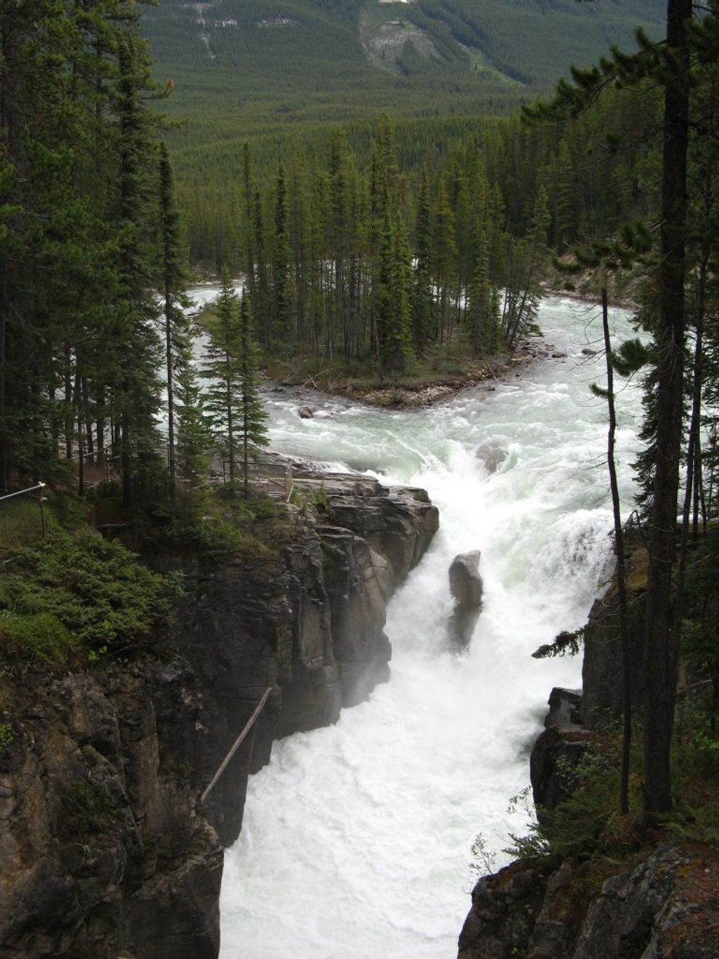
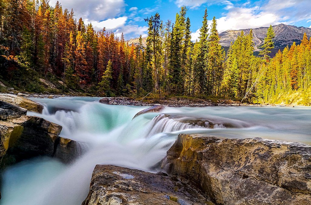
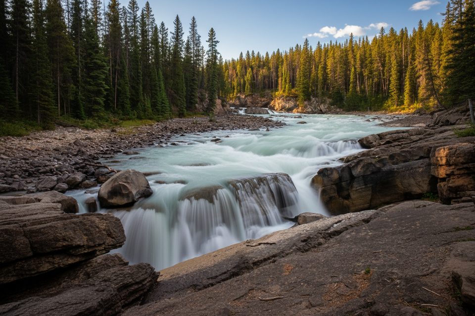
Steps from the parking lot, the Upper Sunwapta Falls roars through a tight limestone gorge—classic Canadian Rockies drama with almost no effort. If you want more than a roadside viewpoint, continue the easy out-and-back along the canyon to the Lower Sunwapta Falls. Expect about 1.5 miles total (round-trip) with a gentle descent on the way out and a gradual climb back.
From the lot, a very short path leads to bridge-top views straight into the gorge and the thundering upper cascade. For the lower falls and a quieter feel, take the forested trail that stays on the same side of the river as the parking area. The path rolls gently, with packed dirt and roots under subalpine forest, and offers canyon glimpses en route to additional falls. It’s a short, rewarding add-on that most drive-by visitors skip.
Important route tip: Do not cross the bridge if your goal is the lower falls—trails over there lead toward much longer backcountry routes and away from the lower-falls viewpoints.
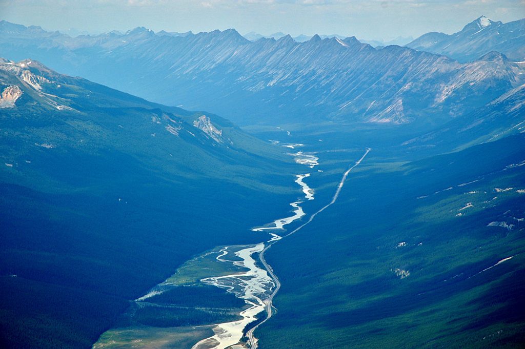
Sunwapta means “turbulent water,” and it fits. Glacial melt from the Athabasca Glacier fuels the river’s surge—most dramatic in late spring and early summer. The falls drop through a limestone gorge shaped by a hanging-valley setup after the last glaciation. Surrounding forest includes areas regenerating from past wildfire, good habitat where you might spot bear sign or moose tracks.
Late spring through early fall is prime: big water, lush forest, and comfortable temps. Summer mid‑day brings the biggest crowds—go early or in the evening for fewer people and softer light. Autumn trades a bit less flow for quieter paths and fall color. Winter access varies with conditions; expect ice and use extreme caution if you go.
Bottom line: As a stop on Highway 93, Sunwapta delivers maximum scenery for minimal effort, and the short walk to the lower falls is absolutely worth the extra time.
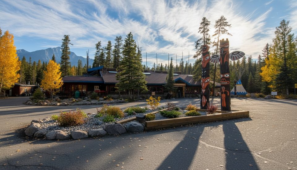
Turn off Hwy 93 at the signed Sunwapta Falls road by the lodge and drive ~500–600 m to the main lot next to the bridge and viewpoints. Spaces can fill at mid‑day; accessible parking is available. Display a valid Parks Canada pass.
Stay behind railings—wet rock and canyon edges are slippery. The lower-falls trail is uneven with roots. For the lower falls, remain on the parking-lot side of the river; crossing the bridge leads to longer backcountry trails. Keep dogs leashed and be bear aware.
Place · 0 mi away
Place · 0.4 mi away
Place · 10.3 mi away
Place · 11.7 mi away
Easy · 0 mi away
Easy · 13.6 mi away
Moderate · 19.4 mi away
Challenging · 23.7 mi away

Parkwolf Tour Guide
