Goats and Glaciers Viewpoint in Icefields Parkway (Highway 93)

Scenic pullout · Icefields Parkway (Highway 93)

Goats and Glaciers Viewpoint

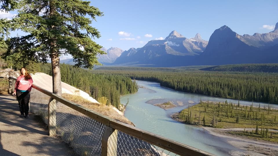
A short paved walk to a wide river valley, goats optional.

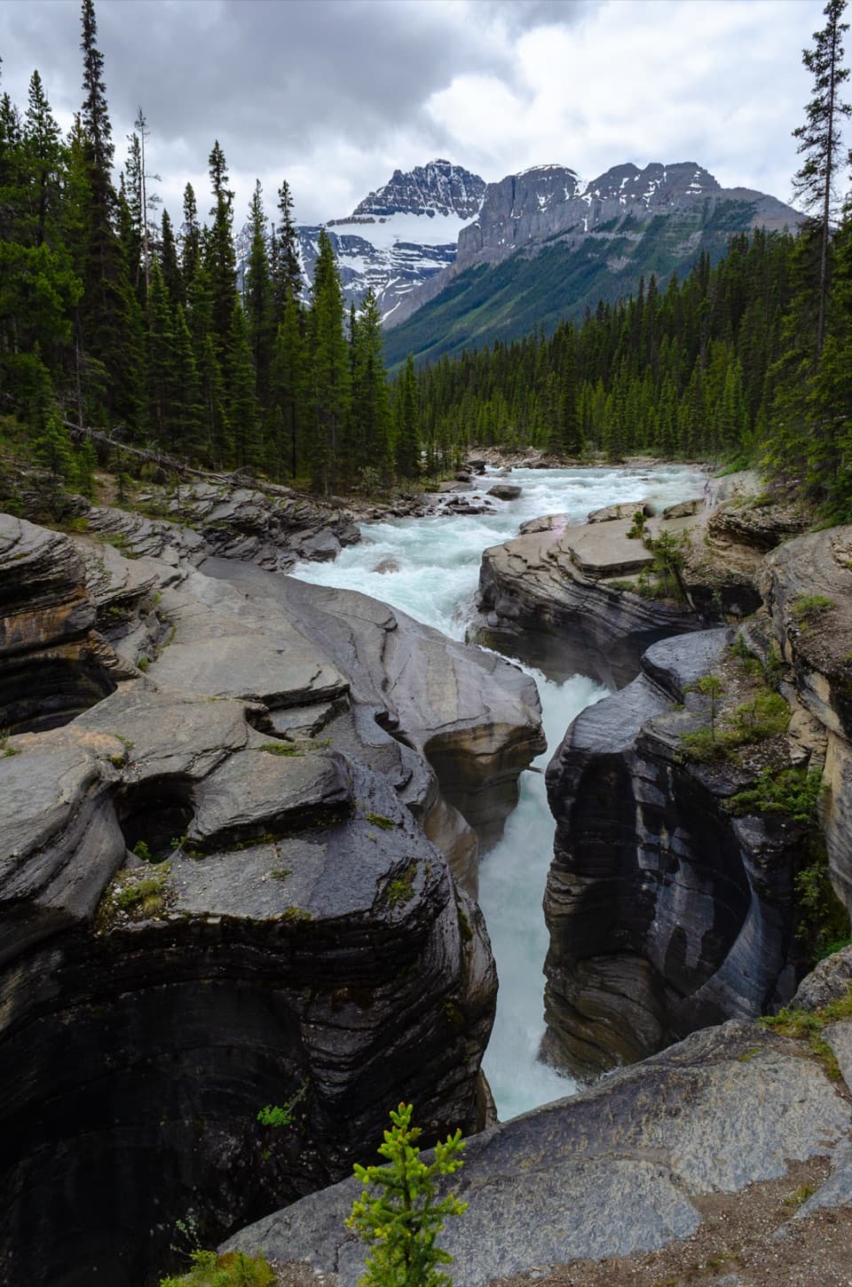
Photo: Wikimedia Commons
Type
Scenic pullout
Nearest trail
4.8 km
Audio stories
3 nearby
  • Pullout
  • Parking
  • Scenic viewpoint

Hear the audio tour

Goats and Glaciers: The Valley View

Overview

About Goats and Glaciers Viewpoint

Why stop

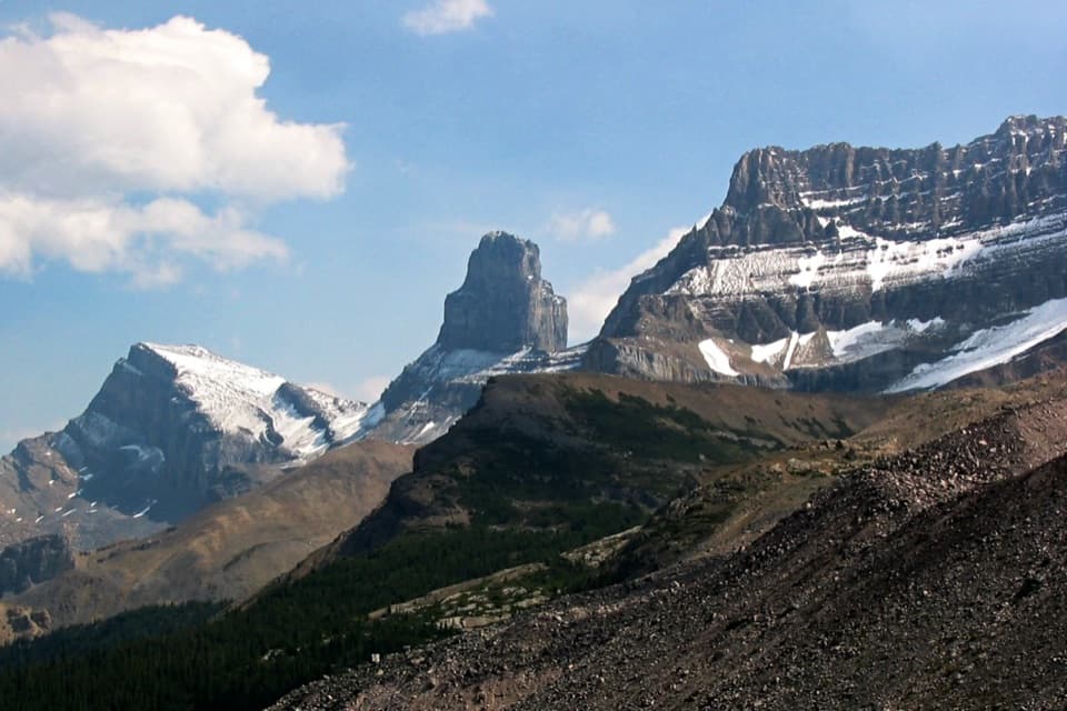
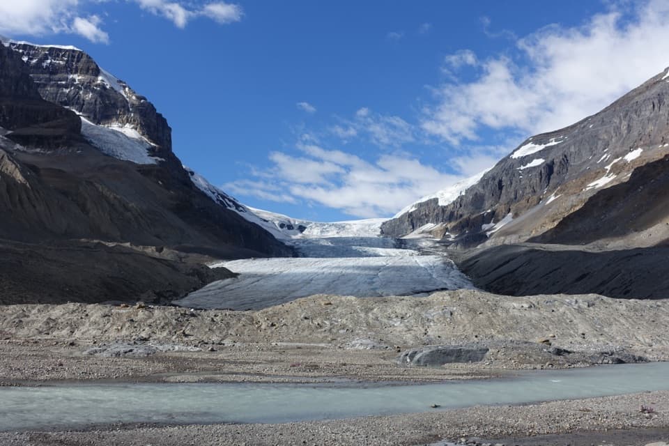
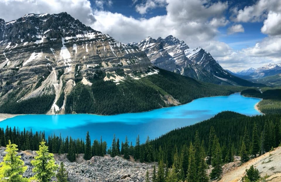
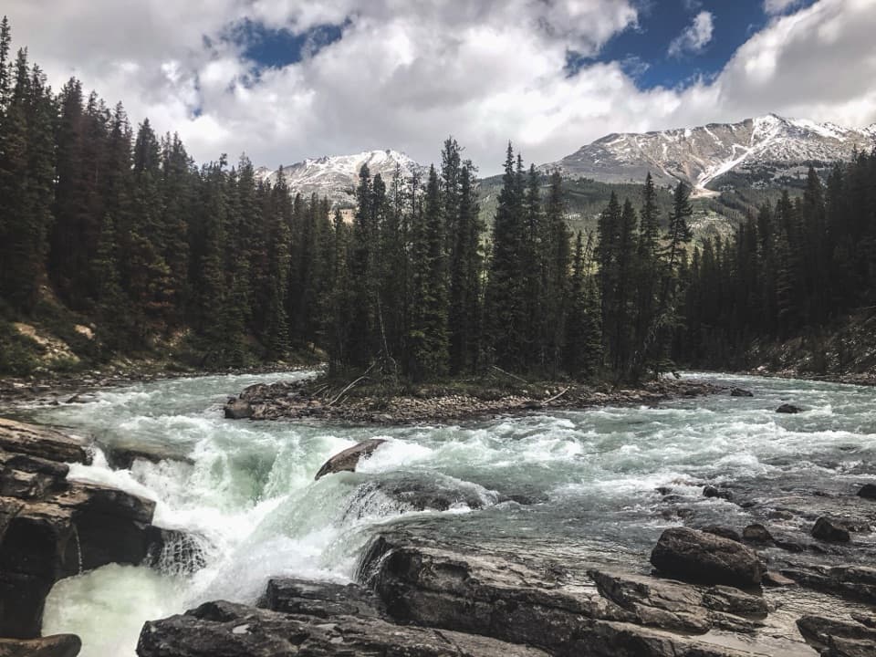
  • Steep slopes, river channels and distant hanging glaciers share one broad view.

Heads up

  • Goat sightings are uncertain, so wildlife can be a no-show.

Map

Where it is

Loading the Icefields Parkway map
Full map
Scenic pulloutGoats and Glaciers Viewpoint52.61662, -117.84637
Keep this map with you offline in the Parkwolf app

Plan your stop

Before you go

2 active Icefields Parkway alerts

  • ClosureWildfire-impacted area closures in JasperStay out of the closed wildfire-impacted areas in Jasper National Park; access is prohibited or restricted to protect public safety.Official details
  • ClosureOpal Hills hiking area closed for grizzly bearThe Opal Hills hiking area is closed because a female grizzly bear with two offspring is in the area. - The closure took effect September 25, 2026, and remains in effect until further notice.Official details

Icefields Parkway alerts
A park ranger sits on a dash-mounted phone, talking, as Parkwolf’s Tour Guide plays “Army Cutworm Moths: A Grizzly Bear Buffet” on Grand Loop Road below Dunraven Pass in Yellowstone
Parkwolf Tour GuideThe highest, rockiest slopes around here are a summer buffet for grizzly bears.

Icefields Parkway Tour Guide

Your drive to Goats and Glaciers Viewpoint, narrated.

Parkwolf is a GPS audio tour guide for Icefields Parkway (Highway 93). As you drive, it chimes in with what’s ahead: hidden gems, upcoming stops, history, geology, and wildlife, right through your car’s speakers.

See the Icefields Parkway audio tour

Recorded for this place

Goats and Glaciers: The Valley View
0:00 / 0:20
“Goats and Glaciers Viewpoint is coming up, a short stop for a broad river-valley view. The paved approach is about fifty metres.”

Plays as you drive up to Goats and Glaciers Viewpoint in the Parkwolf Icefields Parkway Tour Guide.

More stories near here in the app

  • The Waterways Inside a Glacier
  • The Sundew’s Sticky Meal
  • The Committee’s Punch Bowl
  • Mount Christie Viewpoint: Red Chairs and Elk Clues
  • 141 audio storiesacross Icefields Parkway’s roads, triggered by GPS as you drive
  • Wildlife heatmapsfor Grizzly Bear, Black Bear, Moose, and 13 more
  • Works offlinemaps, 54 trails, 57 places, and audio download before you lose signal
  • CarPlay readysimple controls built for the drive
★★★★★
“Fantastic app with many points of information… It’s great to just turn on while you’re driving and it gives you an audio tour of the national Park. We love it!!!!”
JMJamesApp Store review
Download Parkwolf on the App StoreGet Parkwolf on Google Play

4.7 from 8,600+ ratings

Guide

More about Goats and Glaciers Viewpoint

A short stop with a wide valley viewGoats and Glaciers Viewpoint is a roadside pullout on the Icefields Parkway, known for the…

Goats and Glaciers Viewpoint is a roadside pullout on the Icefields Parkway, known for the river valley, mountain-goat slopes and hanging glaciers farther off. A 50 m paved approach leads to the overlook, making this an easy pause on a long drive. The valley is worth the stop even if no goats appear. For a photo, frame the braided river channels and gravel islands below the steep mountains; the foreground shows the scale of the valley better than a crop of peaks alone.

Looking for mountain goatsGoats use the steep slopes above the river, but sightings are unpredictable.

Goats use the steep slopes above the river, but sightings are unpredictable. Bring binoculars to scan the rock faces and give yourself a little time; some visitors see none. Treat the goats as a bonus, not the whole reason to stop.

What to plan forThe paved approach is about 50 m from the roadside stop.

The paved approach is about 50 m from the roadside stop. Toilet, water and picnic-table availability isn't clear here, so make a proper rest or supply stop elsewhere if you need one. This is a quick viewpoint pause, not a place to count on for food or services.

Wildlife

Wildlife in Icefields Parkway

All Icefields Parkway wildlife maps

Sighting maps show where each species has been reported across Icefields Parkway. Wildlife moves, so no sighting is guaranteed.

Parkwolf’s Icefields Parkway ranking

Top sights in Icefields Parkway

All 57 places
  1. 1Athabasca GlacierSight
  2. 2Peyto Lake ViewpointSight
  3. 3Athabasca FallsSight
  4. 4Bow LakeSight
  5. 5Sunwapta FallsSight
  6. 6Mistaya CanyonSight

Take Parkwolf to Icefields Parkway.

The audio tour guide for the drive, plus offline maps, trails, and wildlife heatmaps for when the signal drops.

4.7 from 8,600+ ratings

Download Parkwolf on the App StoreGet Parkwolf on Google Play