Parking
Hoosier Prairie Parking Lot, a gravel lot off E 53rd Avenue (Main Street), east of US 41 in Schererville. Paper trail maps are available at the kiosk.
Indiana Dunes National Park, IN
A short prairie walk where savanna and marsh meet.
Overview
Map & elevation
Plan your hike

The highest, rockiest slopes around here are a summer buffet for grizzly bears.
Indiana Dunes Tour Guide
Parkwolf is a GPS audio tour guide for Indiana Dunes National Park. As you drive, it chimes in with what’s ahead: hidden gems, upcoming stops, history, geology, and wildlife, right through your car’s speakers.
Recorded for this trailhead
Hoosier Prairie: A Short Walk Through Three Habitats“You're approaching Hoosier Prairie, where a short walk links dry prairie, marsh and scattered oaks.”
Plays as you drive up to this trailhead in the Parkwolf Indiana Dunes Tour Guide.
“Fantastic app with many points of information… It’s great to just turn on while you’re driving and it gives you an audio tour of the national Park. We love it!!!!”


Trail guide
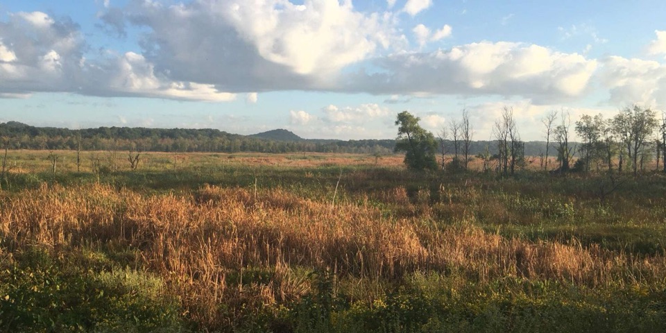
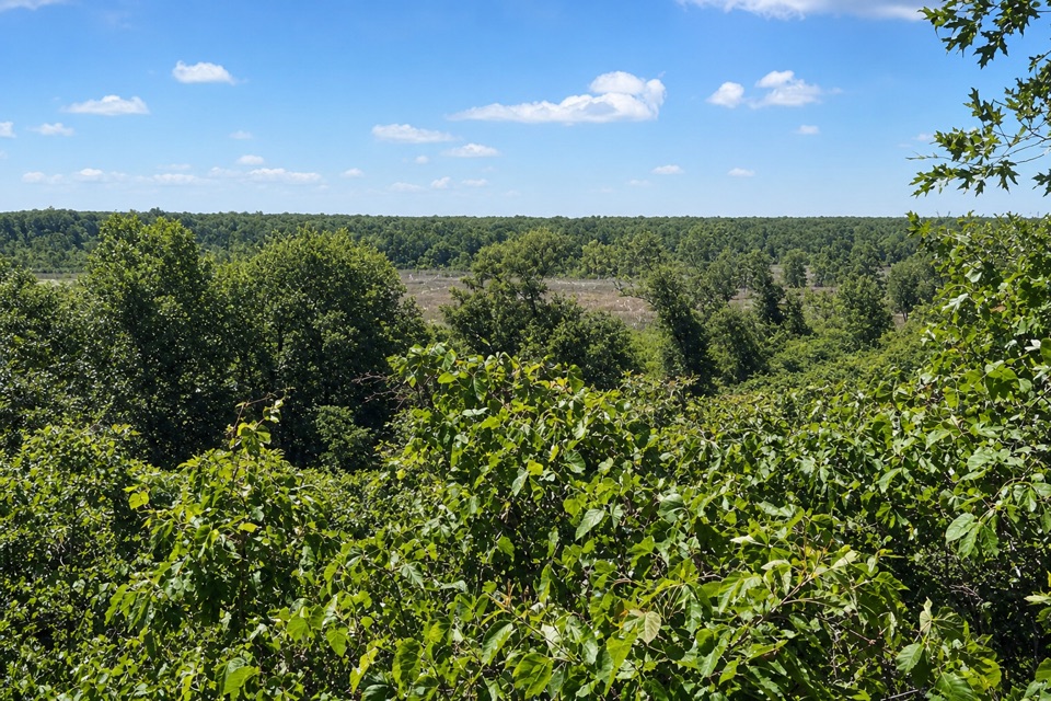
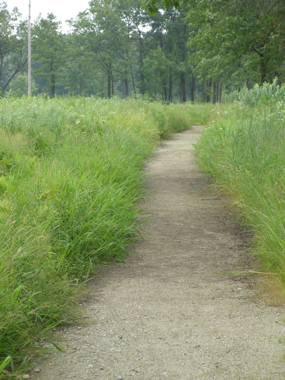
Hoosier Prairie Trail is an easy, about 0.8-mile round-trip network walk from the gravel lot. It links a flat, 0.15-mile crushed-gravel entrance with the Prairie Marsh loop and a spur to the Savanna loop; allow 30 minutes to an hour. Only the entrance segment is wheelchair-accessible. Beyond it, the tread mixes loose sand, packed dirt and gravel. Go for a quick look at oak savanna, prairie and wetland packed into a short walk.
From the parking lot, take the accessible path to Prairie Marsh, then follow the mapped loop and its spur to the Savanna loop. The route crosses higher, drier prairie and lower wet ground before reaching the scattered oaks of the savanna. Follow the connecting path back through the marsh route and out to the lot. A paper map is available at the trailhead kiosk; staying on the marked tread protects fragile plants.
The preserve lies on the Glenwood Spit, whose sands accumulated about 13,000 years ago as the landscape left by glacial Lake Chicago took shape. This is the oldest relic shoreline in the park. The route crosses the rises, slopes and shallow depressions that help create its close succession of dry prairie, wet prairie and marsh.
Hoosier Prairie supports more than 350 native plant species, including at least 43 considered rare or uncommon in Indiana. Fire is part of the prairie’s ecology: after settlement interrupted natural burning, land managers used controlled burns to keep woody growth from overtaking the open habitat. Conservationist Irene Herlocker-Meyer led a decade-long campaign to protect the prairie; Indiana bought it for permanent protection in 1977.
Use the Hoosier Prairie gravel lot off E 53rd Avenue (Main Street), east of US 41 in Schererville. There are no restrooms or potable water. Leashed pets are allowed on a leash no longer than six feet. Ticks are present year-round, and poison ivy can grow along the trail edges; stay on the path and leave plants undisturbed.
Wildlife
 85 sightingsBald EagleMost seen around 8 AMSighting map
 48 sightingsSandhill CraneMost seen around 6 PMSighting map
 113 sightingsWhite-tailed DeerMost seen around 6 PMSighting map
 23 sightingsCoyoteMost seen around 8 PMSighting map
 49 sightingsBeaverMost seen around 8 PMSighting map
 13 sightingsBarred OwlMost seen around 6 AMSighting map
Sighting maps show where each species has been reported across Indiana Dunes. Wildlife moves, so no sighting is guaranteed.
Keep exploring
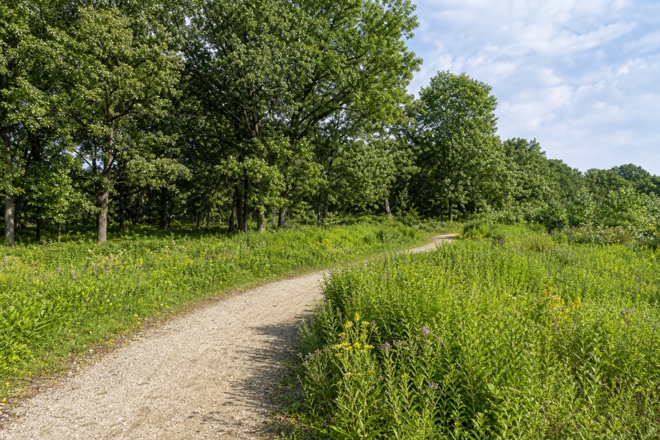 EasyHoosier Prairie Accessible Trail0.2 mi · 12 min · At the trailheadA flat gravel path opens a short window into rare prairie.
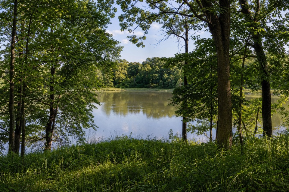 EasyHobart Woodland Trail2.2 mi · 1.3 hr · 7.8 mi awayFollow the old rail trail to a small Lake George loop.
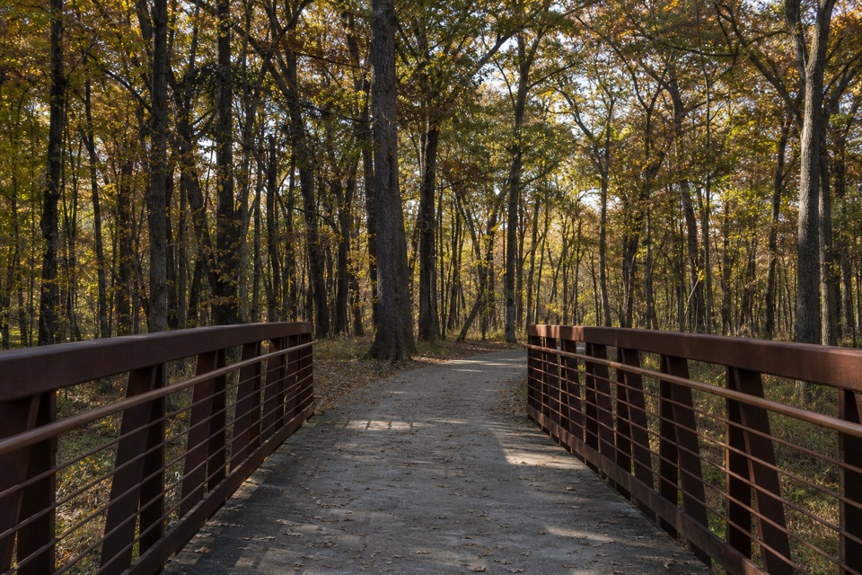 EasyOak Savannah Bike Trail4 mi · 2 hr · 7.8 mi awayA flat paved rail-trail walk crossing Lake George.
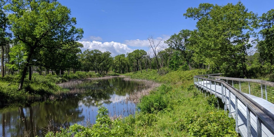 ModeratePaul H. Douglas Trail (Miller Woods)3.4 mi · 2 hr · 11.4 mi awayWetlands, oak savanna and dunes on the way to Lake Michigan.EasyDouglas Center Loop0.9 mi · 30 min · 11.4 mi awayA half-hour loop through wetlands and rare black oak savanna.
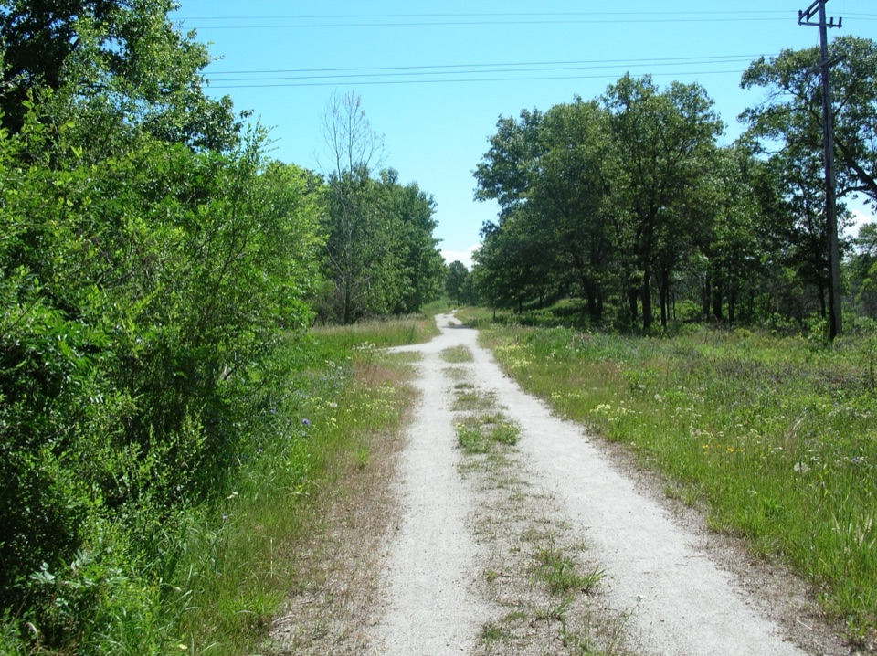 EasyMarquette Trail4.6 mi · 2 hr · 13.8 mi awayA flat rail trail through woods and wetlands
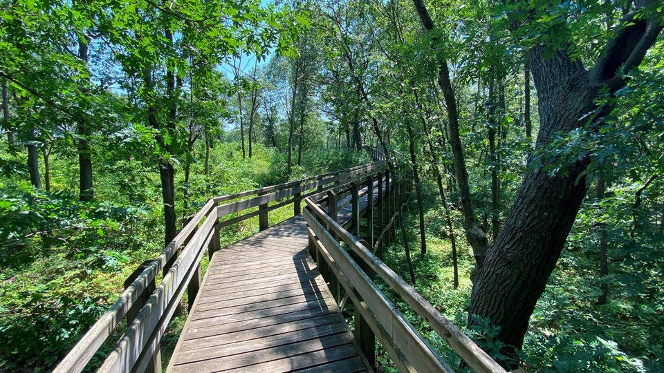 EasyTolleston Dunes Overlook Boardwalk0.2 mi · 15 min · 14.4 mi awayA brief boardwalk leads to two shaded wetland overlooks.
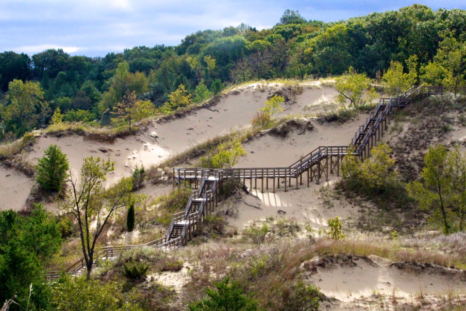 ModerateDune Succession Trail0.9 mi · 1 hr · 14.7 mi awayA sandy loop, 270 stairs and a Chicago view over Lake Michigan.
Parkwolf’s Indiana Dunes ranking

The audio tour guide for the drive, plus offline maps, trails, and wildlife heatmaps for when the signal drops.