Parking
Start at the paved Paul H. Douglas Center lot, 100 North Lake Street, Gary. It accommodates RVs and buses. A national-park pass is required. The Center has restrooms and potable water while open.
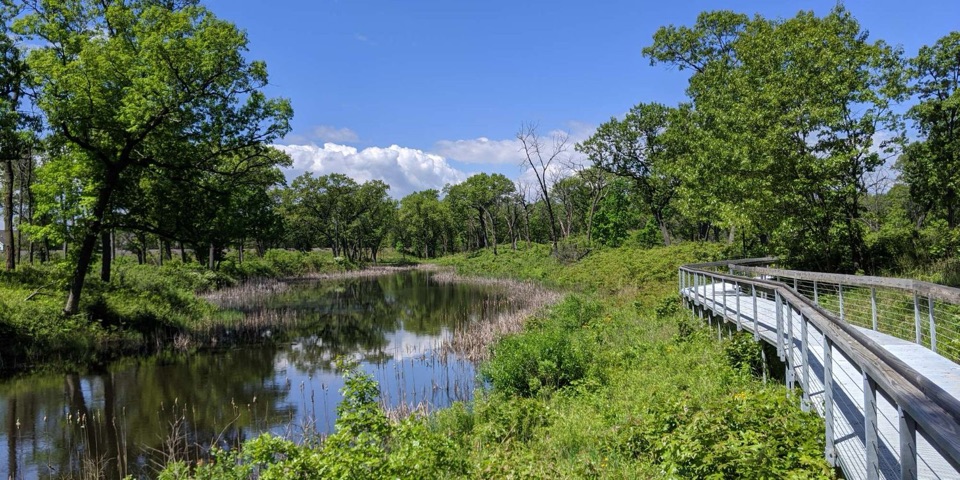
#3 of 34 trails in Indiana Dunes
Indiana Dunes National Park, IN
Wetlands, oak savanna and dunes on the way to Lake Michigan.
Overview
Map & elevation
Plan your hike

The highest, rockiest slopes around here are a summer buffet for grizzly bears.
Indiana Dunes Tour Guide
Parkwolf is a GPS audio tour guide for Indiana Dunes National Park. As you drive, it chimes in with what’s ahead: hidden gems, upcoming stops, history, geology, and wildlife, right through your car’s speakers.
Recorded for this trailhead
Douglas Center and Miller Woods“You're coming up on the Paul H. Douglas Center, where hands-on exhibits and live park animals make a good family stop. Outside, kids can dig, climb and build in the Nature Play Zone.”
Plays as you drive up to this trailhead in the Parkwolf Indiana Dunes Tour Guide.
More stories near here in the app
“Fantastic app with many points of information… It’s great to just turn on while you’re driving and it gives you an audio tour of the national Park. We love it!!!!”


Trail guide
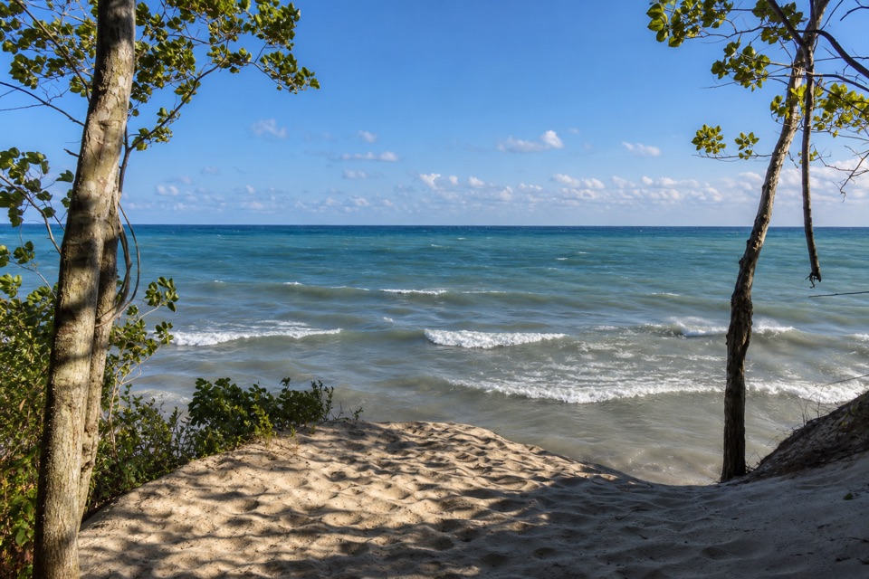
The Paul H. Douglas Trail (Miller Woods) is a 3.4-mile round trip from the Paul H. Douglas Center to Lake Michigan. It starts along a wetland, crosses black oak savanna and small interdunal ponds, reaches the open dunes and beach, then returns by the wetland’s other edge. The beach section itself is out and back, so you’ll retrace that sandy leg before the last stretch to the Center. It’s a good choice if you want to see the woods-to-lake transition in one hike; it isn’t a quick beach access walk. Plan on about two hours, with extra time if you want to linger at the water.
From the Center, follow the north, counter-clockwise side around the wetland. At the junction, turn right and head north; this is the out-and-back leg to the beach. The first stretch is relatively shaded. The path follows the wetland before it crosses a bridge and enters taller dunes. You’ll see open oak savanna, ponds tucked between sandy ridges, and the lake at the end. Return to the junction, then follow the other edge of the wetland back to the Center. Keep to the signed tread—the wetland plants and lupine habitat beside it are fragile. Beavers are sometimes active near the wetland, though sightings aren’t guaranteed.
Most of the 3.4 miles is on sand, with packed soil, gravel and short boardwalk sections. The hike is moderate and gains 46 feet, but loose sand can make it feel slower than that small elevation number suggests. It starts in relative shade and finishes in full sun; the lakefront can feel much colder or hotter than the woods. Fill up at the Center before leaving, and bring sun protection and a layer for the shore.
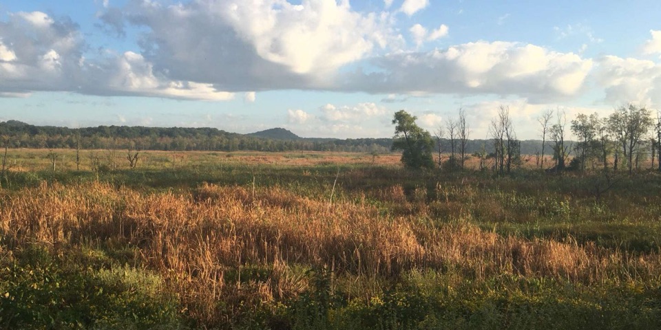
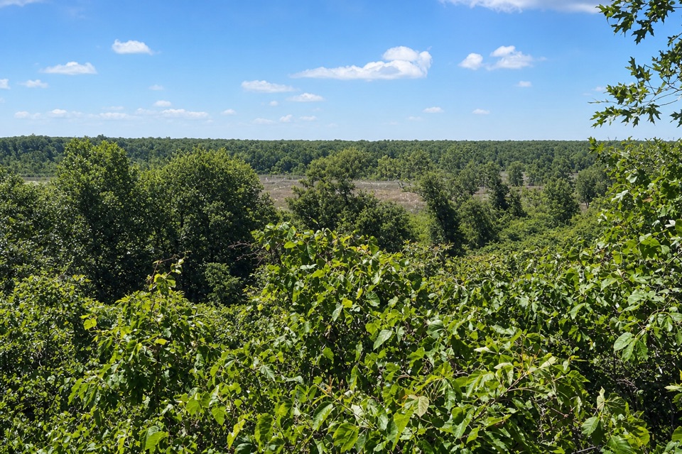
Miller Woods is a dune-and-swale landscape. Long sandy ridges mark old Lake Michigan shorelines; the low spaces between them hold shallow freshwater pools called pannes. Black oak savanna grows on the higher ground, where prescribed fire helps keep grasses and wildflowers in the open. In spring and summer, look for lupine, puccoon, asters and native grasses. The combination of wet pockets and dry ridges changes the scene every few minutes.
The wetlands are used by migrating and nesting birds, and the route passes beaver habitat near its first wetland stretch. Don’t count on a sighting; pay attention near the water and listen for birds in the savanna. At the beach, take a moment to look back at the dunes before turning around. The boardwalk beside the pond also makes a clear photo stop; at the lake, include a little dune edge with the water to show how quickly the route changes.
Use the paved Paul H. Douglas Center lot at 100 North Lake Street in Gary; the lot can fit RVs and buses. A national-park pass is required. The Center has restrooms and potable water while open, but there’s no water on the route. Leashed pets are allowed on leashes no longer than six feet. The full beach trail isn’t wheelchair accessible, though the walkway from the Center to the marsh boardwalk and picnic tables is. If the sandy beach route is more than you want, the separate 0.9-mile Douglas Center loop stays near the wetlands. High lake levels and storms can change trail conditions, so check park status before heading out.
Wildlife
 85 sightingsBald EagleMost seen around 8 AMSighting map
 48 sightingsSandhill CraneMost seen around 6 PMSighting map
 113 sightingsWhite-tailed DeerMost seen around 6 PMSighting map
 23 sightingsCoyoteMost seen around 8 PMSighting map
 49 sightingsBeaverMost seen around 8 PMSighting map
 13 sightingsBarred OwlMost seen around 6 AMSighting map
Sighting maps show where each species has been reported across Indiana Dunes. Wildlife moves, so no sighting is guaranteed.
Keep exploring
EasyDouglas Center Loop0.9 mi · 30 min · At the trailheadA half-hour loop through wetlands and rare black oak savanna.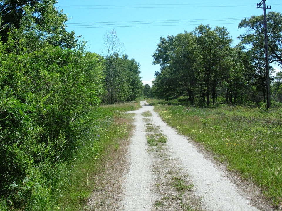 EasyMarquette Trail4.6 mi · 2 hr · 2.5 mi awayA flat rail trail through woods and wetlands
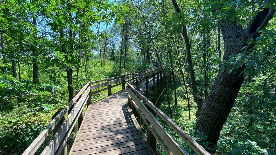 EasyTolleston Dunes Overlook Boardwalk0.2 mi · 15 min · 3.2 mi awayA brief boardwalk leads to two shaded wetland overlooks.
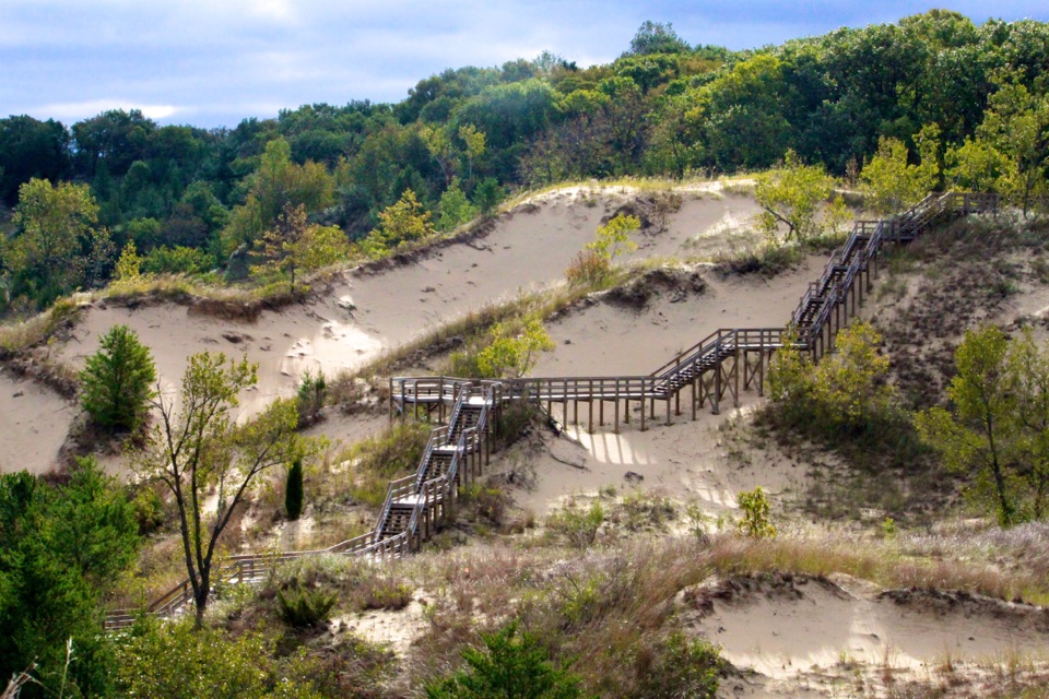 ModerateDune Succession Trail0.9 mi · 1 hr · 3.3 mi awayA sandy loop, 270 stairs and a Chicago view over Lake Michigan.ModerateWest Beach 3-Loop Trail3.4 mi · 2.5 hr · 3.3 mi awayStairs to the skyline, then soft sand beside Long Lake.
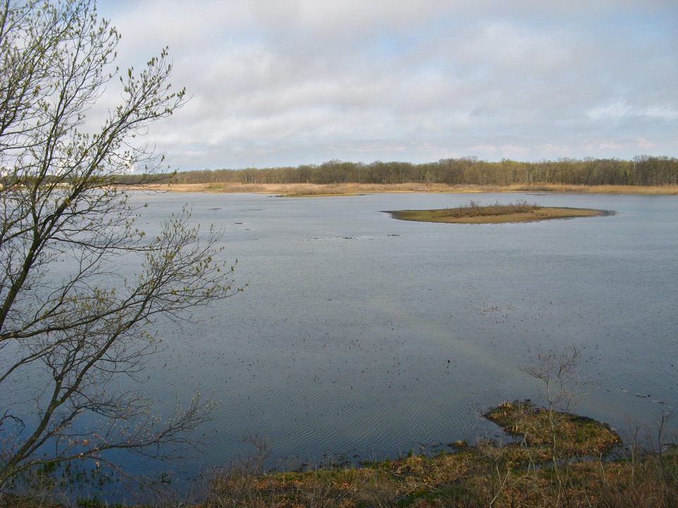 ModerateLong Lake Loop Trail (Loop 3)2.4 mi · 1.8 hr · 3.3 mi awayA sandy lake loop with dune climbs and a steep picnic-area descent
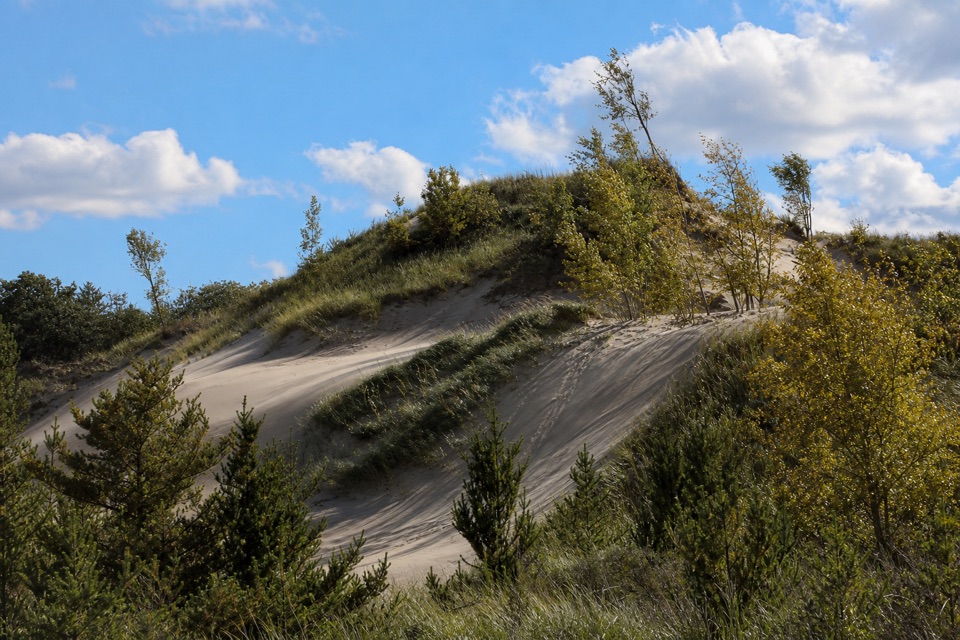 EasyWest Beach Trail Loop 21.4 mi · 48 min · 3.3 mi awayLoose sand winds through West Beach dunes and a recovering oak savanna.
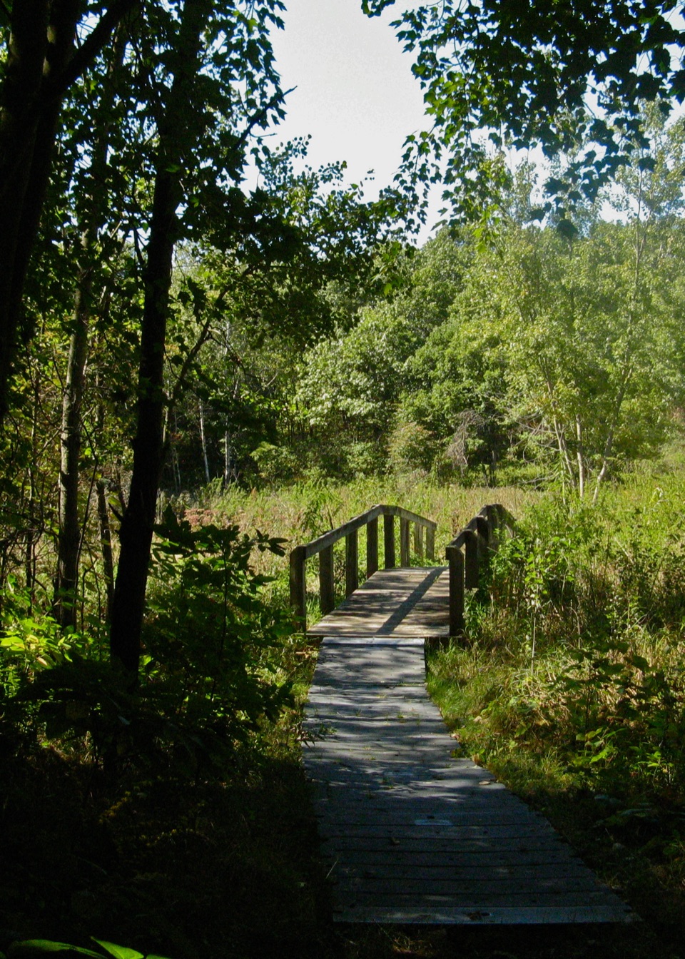 ModerateTolleston Dunes Trail2.9 mi · 2 hr · 4 mi awayFollow young dunes, marsh edges, and a boardwalk on this lollipop loop.
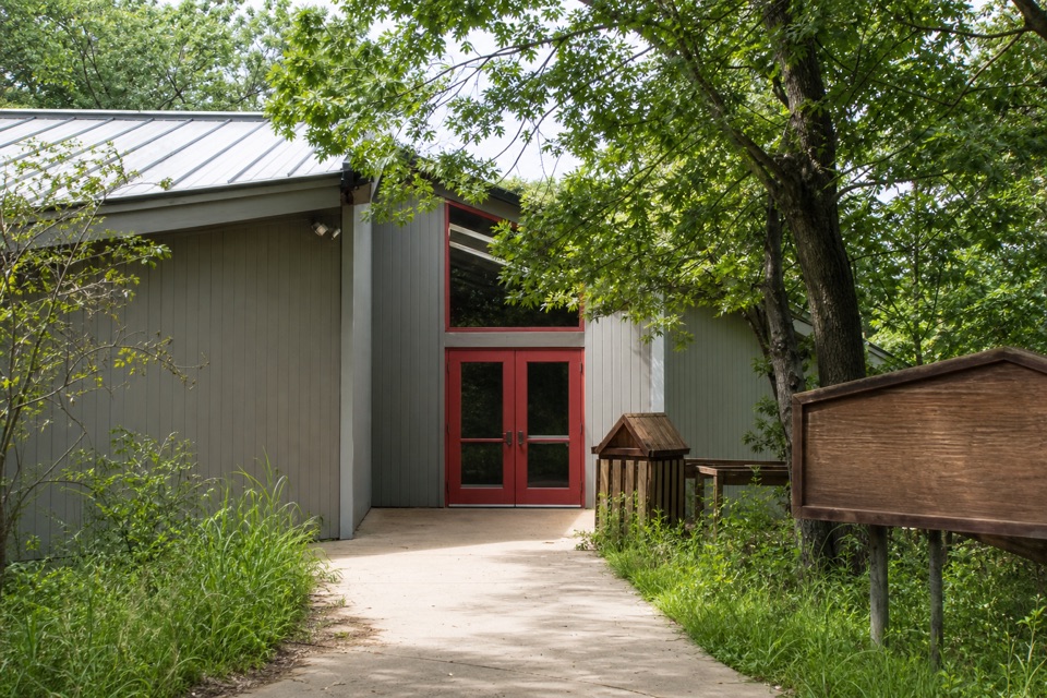 Visitor center · At the trailheadPaul H. Douglas Center for Environmental EducationStart with hands-on nature, then step into Miller Woods.
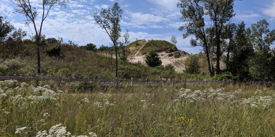 Beach · 3.2 mi awayWest BeachSandy Lake Michigan shore with a 270-step view toward Chicago.Sight · 3.3 mi awayTolleston Dunes OverlookA quick, accessible boardwalk to shaded wetland overlooks.
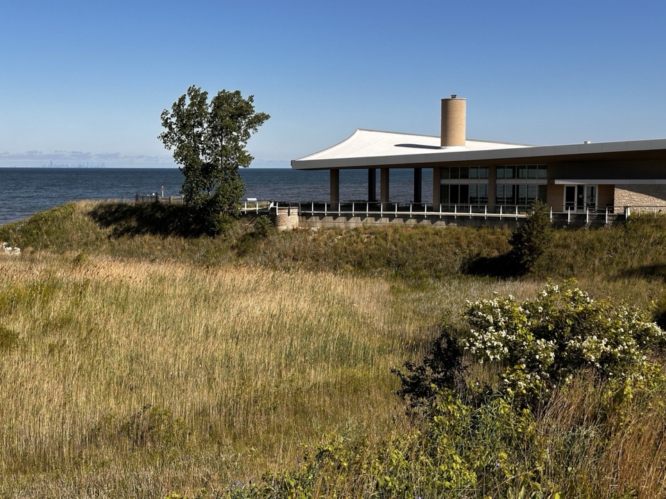 Beach · 5 mi awayPortage Lakefront and RiverwalkA quick walk links dunes, the beach and a Lake Michigan pier.
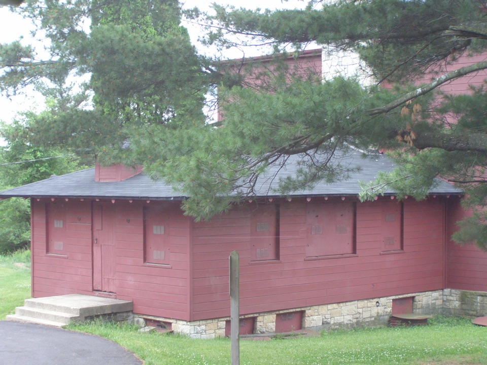 Sight · 8.8 mi awayGood Fellow Lodge at Dunes Learning CenterA 1941 camp survives as an outdoor school; register before you go.
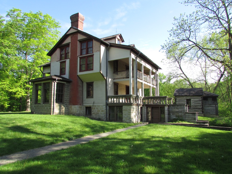 Sight · 9.1 mi awayBailly HomesteadA fur-trading homestead tied to Potawatomi removal and regional settlement.
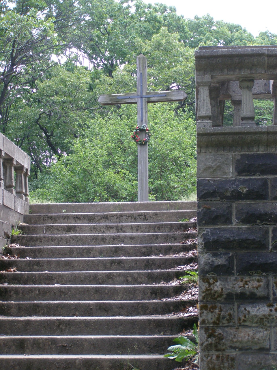 Sight · 9.3 mi awayBailly CemeteryA walled hilltop cemetery whose original graves lie beneath the surface.
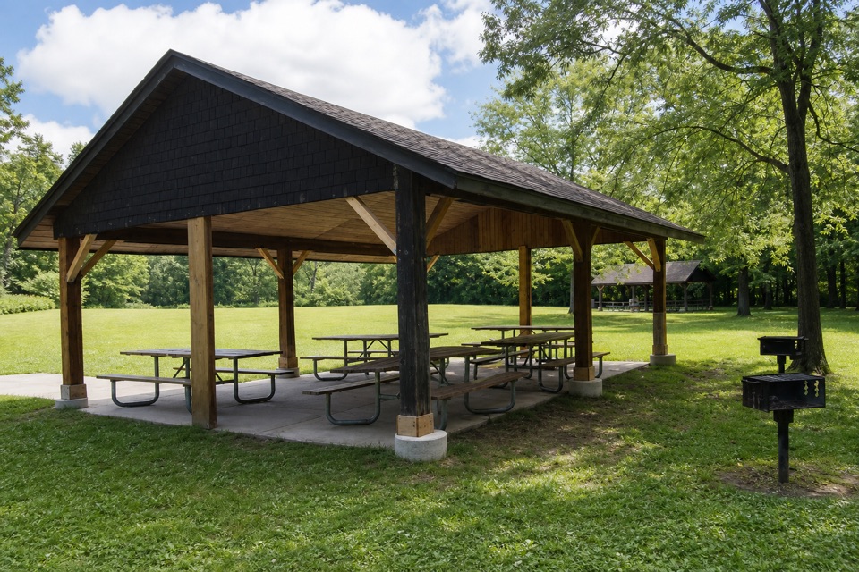 Picnic area · 9.4 mi awayBailly–Chellberg Picnic AreaThree reservable shelters for a picnic beside Bailly and Chellberg.
Parkwolf’s Indiana Dunes ranking

The audio tour guide for the drive, plus offline maps, trails, and wildlife heatmaps for when the signal drops.