Parking
Use the paved Kemil Beach parking lot; the trail starts at its southeast corner. The shared beach lot fills quickly on summer weekends. Year-round restrooms and potable water are at the lot.

#6 of 34 trails in Indiana Dunes
Indiana Dunes National Park, IN
A sandy 0.7-mile lollipop with a Great Marsh overlook.
Overview
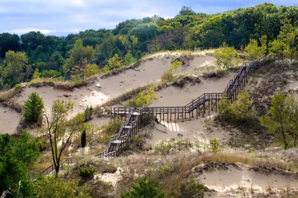
Dune Ridge Trail is a 0.7-mile lollipop from the southeast corner of the Kemil Beach lot: walk out on a sandy stem, make a small ridge loop, then retrace that same stem to the car. In a compact walk it passes from open foredune to oak savanna and shaded woods before climbing to a south-facing view over Great Marsh. Plan on 30 to 60 minutes; about 45 minutes is a sensible allowance if you stop at the overlook. The route gains about 73 feet. It is short, but the loose sand and steep descent make it feel more like a moderate hike than a stroll. Some GPS-based descriptions come closer to 0.8 mile, so expect a little measurement variation.
 Parkwolf’s verdictIs this the short dune walk for you?
Map & elevation
Plan your hike

The highest, rockiest slopes around here are a summer buffet for grizzly bears.
Indiana Dunes Tour Guide
Parkwolf is a GPS audio tour guide for Indiana Dunes National Park. As you drive, it chimes in with what’s ahead: hidden gems, upcoming stops, history, geology, and wildlife, right through your car’s speakers.
See the Indiana Dunes audio tourRecorded for this trailhead
Kemil Beach and the Great Marsh View“You're nearing the Kemil Beach parking area, where the lake is about a quarter-mile walk from the car. Most of the approach is paved before it turns sandy, and parts of the shore are rough and pebbly.”
Plays as you drive up to this trailhead in the Parkwolf Indiana Dunes Tour Guide.
More stories near here in the app
“Fantastic app with many points of information… It’s great to just turn on while you’re driving and it gives you an audio tour of the national Park. We love it!!!!”


Trail guide
Begin at the lot’s southeast corner and head south through loose sand. At the junction with the loop, turn left for the clockwise route. You’ll cross a broader old roadbed, then turn right onto narrower singletrack. The path climbs through woods and follows the ridge until the Great Marsh opens below to the south. After the view, a steep slope of loose sand drops you back to the loop junction; turn left and follow the same short access trail north to the lot. The route is easy to understand once you reach that junction, but the direction matters if you want to follow the park’s suggested sequence.
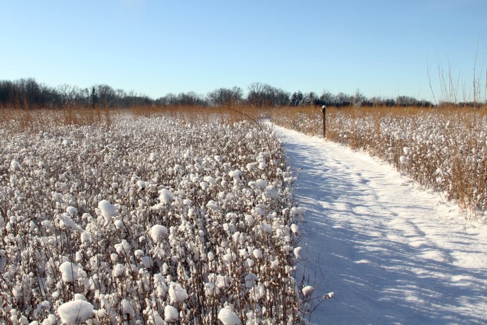
The first stretch crosses a foredune, where wind-shifted sand can bury or uncover plants. Marram and little bluestem grasses and cottonwoods are adapted to this moving ground, but trampling can kill the grasses, so stay on the tread. The route then reaches oak savanna, where the soil is firmer and footing improves. That change is part of the hike’s appeal: you get the open dune edge, a more stable wooded stretch, and then a higher ridge without needing a long approach.
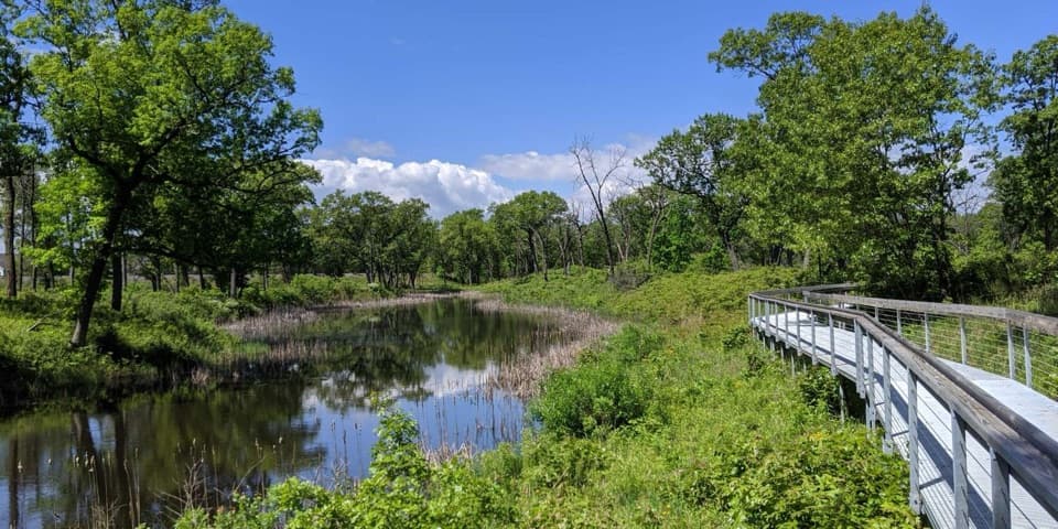
The ridge’s main payoff is the view south across Great Marsh and its surrounding forest. This is a wetland landscape, not a big Lake Michigan panorama; dense dune growth can screen the lake to the north. Great Marsh is the largest interdunal wetland in the Lake Michigan watershed. Much of it was drained for development and farming in the early 1900s, and restoration in this section began in 1998. The restored landscape includes fens, sedge meadows, and wet prairie. Its wider habitat supports birds such as kingfishers, green herons, egrets, and Sandhill cranes, especially during migration, though seeing any one species from this short loop is never guaranteed. The marsh opening framed by nearby leaves is the trail’s best photo view.
Use the paved Kemil Beach parking lot, north of U.S. 12 on East State Park Road (300E); the road is called Kemil Road south of the highway. The trail starts at the lot’s southeast corner. The shared beach lot fills quickly on summer weekends. Year-round restrooms and potable water are at the lot, not along the trail. Park passes are required. Leashed dogs are allowed on a leash no longer than six feet; bicycles and motor vehicles are prohibited. The trail is not wheelchair accessible. Loose sand makes the downhill section the part to take most carefully, and ticks are present year-round; poison ivy may grow along the trail edges.
Wildlife
 85 sightingsBald EagleMost seen around 8 AMSighting map
 48 sightingsSandhill CraneMost seen around 6 PMSighting map
 114 sightingsWhite-tailed DeerMost seen around 6 PMSighting map
 23 sightingsCoyoteMost seen around 8 PMSighting map
 49 sightingsBeaverMost seen around 8 PMSighting map
 13 sightingsBarred OwlMost seen around 6 AMSighting map
Sighting maps show where each species has been reported across Indiana Dunes. Wildlife moves, so no sighting is guaranteed.
Keep exploring
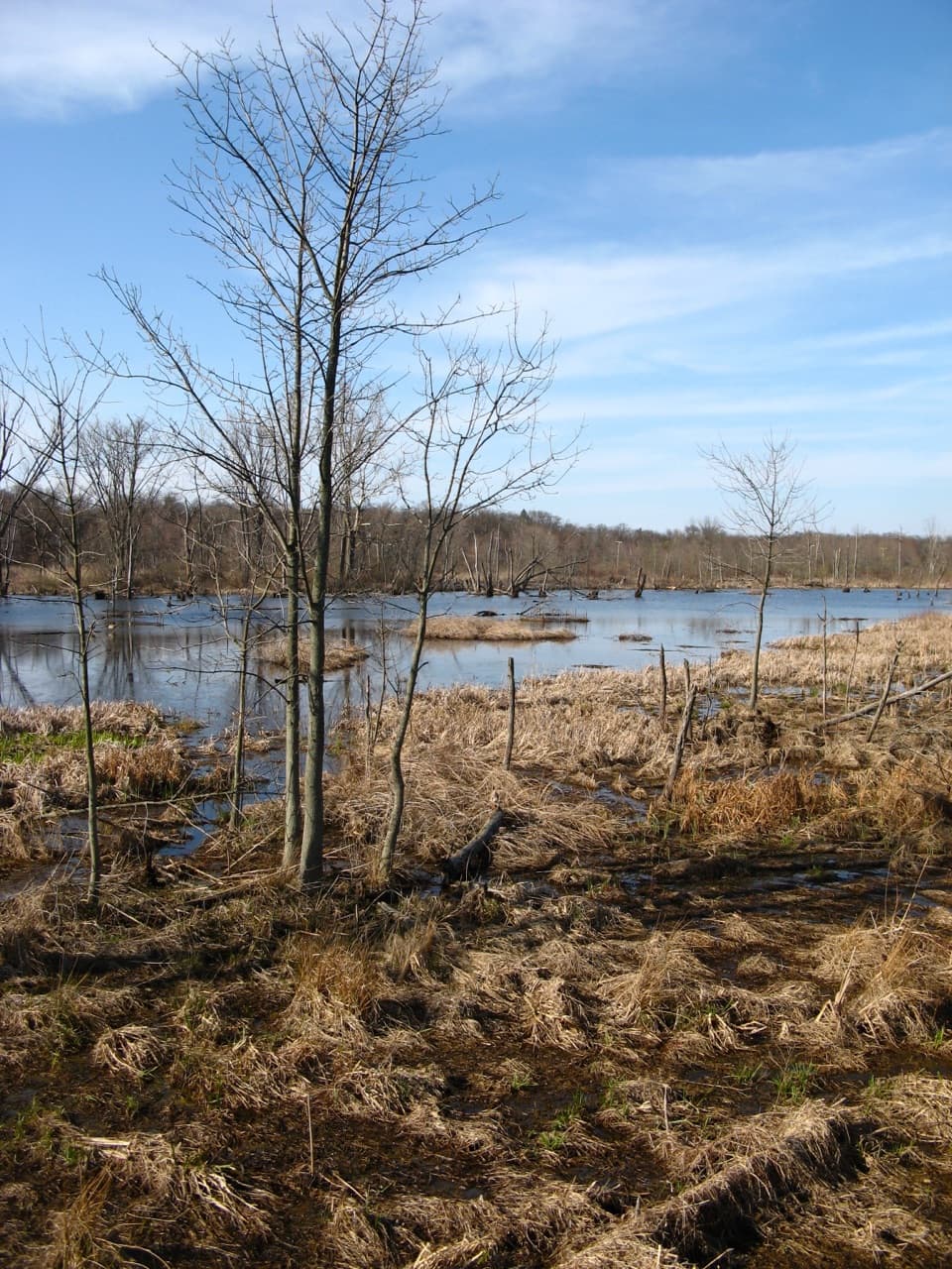 EasyGreat Marsh Accessible Trail0.2 mi · 15 min · 1.1 mi awayA short paved route to the marsh's bird-viewing deck.
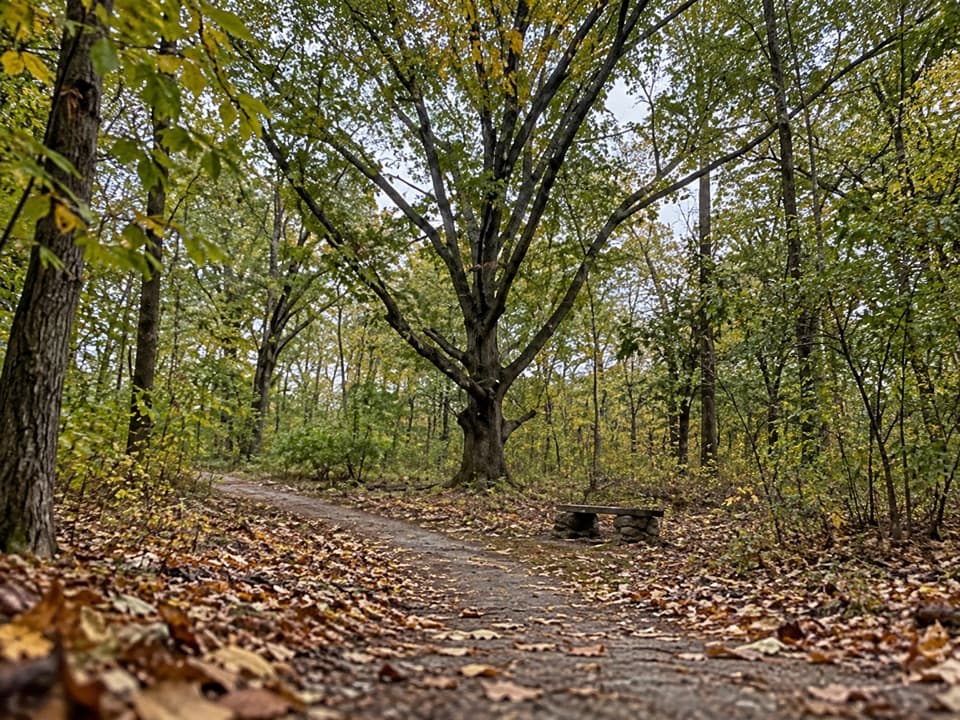 EasyCalumet Dunes Trail0.6 mi · 20 min · 1.1 mi awayA quick paved loop on Lake Michigan's old shoreline
 EasyDunewood Trace Campground Trail4.4 mi · 2.5 hr · 1.1 mi awayAn easy, sandy out-and-back to Dunewood Campground.
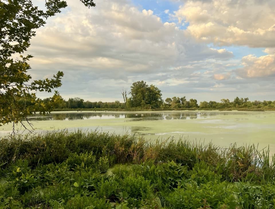 EasyGreat Marsh Trail1.3 mi · 1 hr · 1.2 mi awayA flat marsh loop with an observation deck for birding.
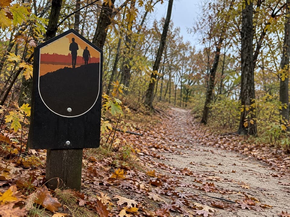 ModerateGlenwood Dunes Extension Trail5.7 mi · 3 hr · 2 mi awayA flat, sandy extension with a longer walk from the main lot.
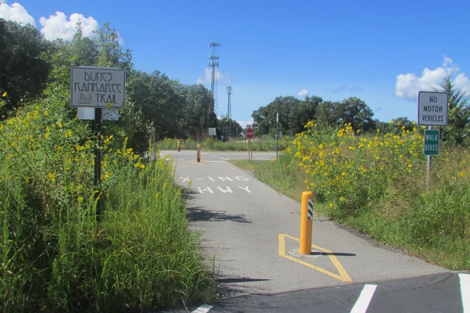 EasyDunes Kankakee Trail3.6 mi · 1.8 hr · 3.8 mi awayA paved, accessible link between the Visitor Center and State Park.
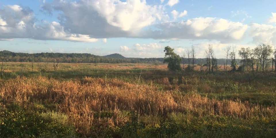 ModerateCowles Bog Trail4.7 mi · 4 hr · 4.5 mi awayWetland, savanna, and dunes lead to a steep Lake Michigan finish
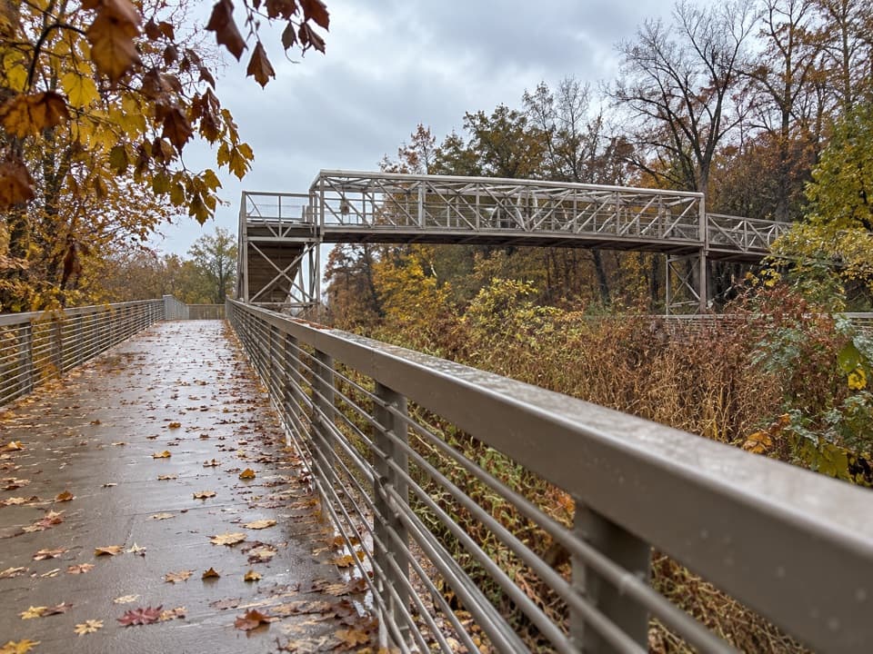 EasyPorter Brickyard Bike Trail4 mi · 1.8 hr · 4.5 mi awayA paved connector with forest stretches and two highway overpasses.
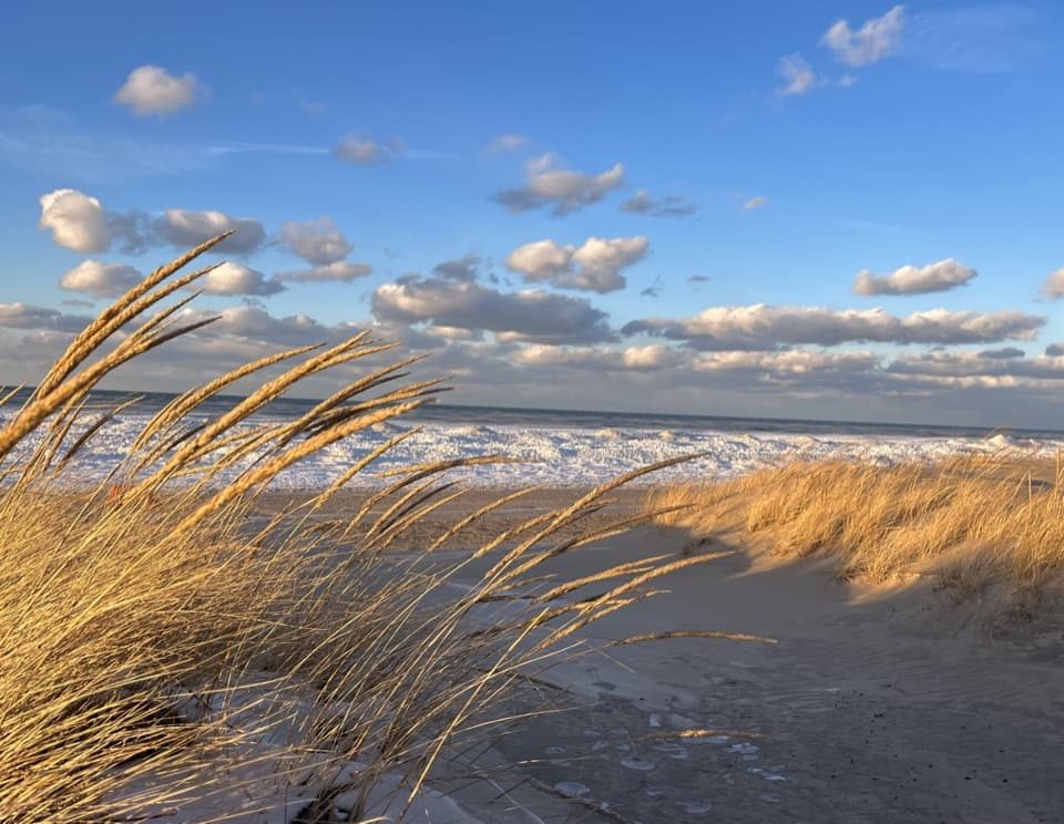 Beach · 0.3 mi awayKemil BeachA Lake Michigan beach with a Great Marsh hike from its lot.
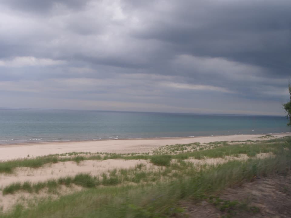 Beach · 0.5 mi awayDunbar BeachA sandy Lake Michigan beach with an uphill walk back.
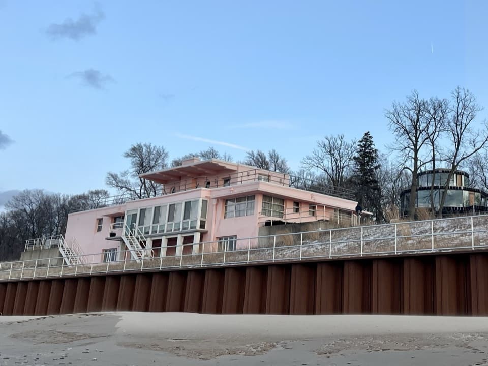 Sight · 0.6 mi awayCentury of Progress HomesFive 1933 fair homes show five different ideas of modern living.
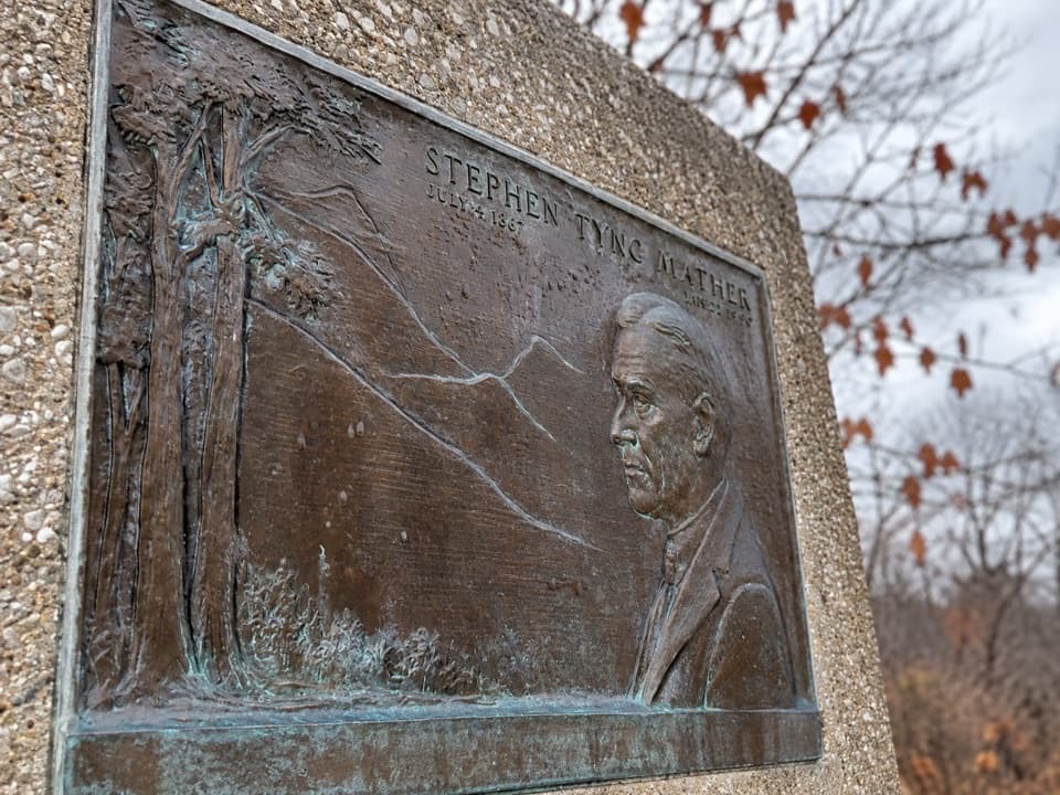 Historic marker · 0.8 mi awayStephen Mather Memorial PlaqueA quick stop for the dunes' conservation story.
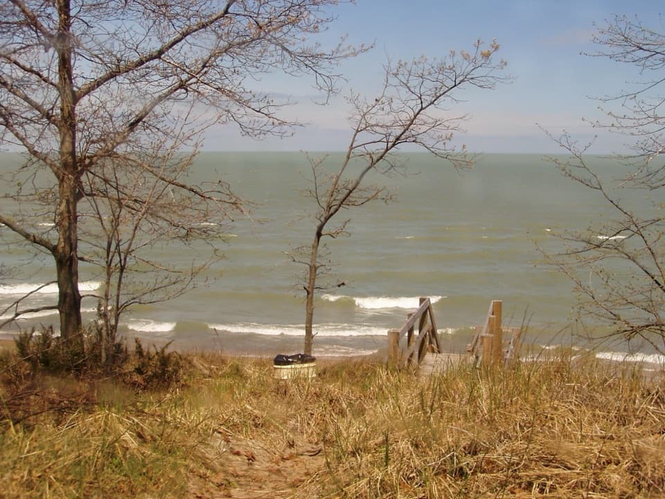 Beach · 1 mi awayLake View BeachPicnic above the lake, with stairs down to the sand.
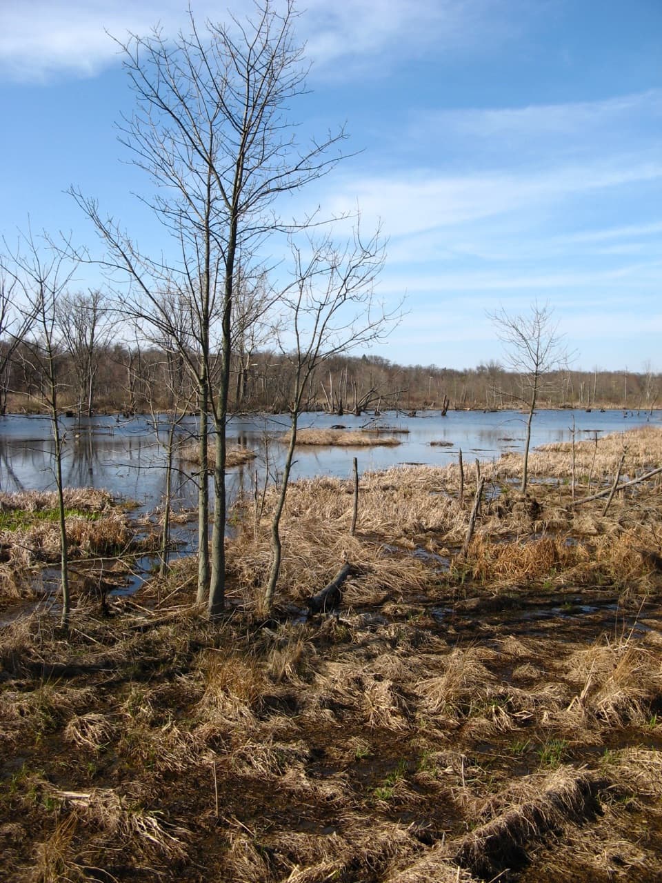 Sight · 1.1 mi awayGreat Marsh Observation DeckA short accessible walk to the Great Marsh
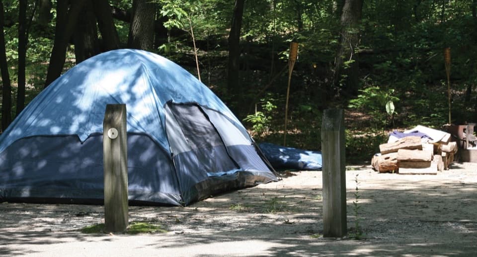 Campground · 1.3 mi awayDunewood CampgroundA wooded base, with lake beaches a short drive away.
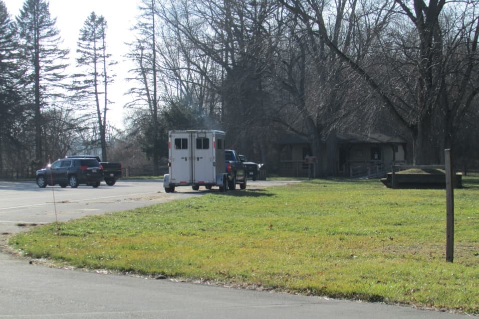 Picnic area · 2 mi awayGlenwood Dunes Picnic AreaA first-come shelter beside a web of dune trails.
Parkwolf’s Indiana Dunes ranking
The audio tour guide for the drive, plus offline maps, trails, and wildlife heatmaps for when the signal drops.