Parking
Use Mount Baldy Parking Lot at 101 Rice Street (U.S. 12) in Michigan City. The lot is paved and an entrance pass is required. Year-round restrooms and potable water are on site.

#5 of 34 trails in Indiana Dunes
Indiana Dunes National Park, IN
A short walk ends in a steep scramble down to Lake Michigan.
Overview
Map & elevation
Plan your hike

The highest, rockiest slopes around here are a summer buffet for grizzly bears.
Indiana Dunes Tour Guide
Parkwolf is a GPS audio tour guide for Indiana Dunes National Park. As you drive, it chimes in with what’s ahead: hidden gems, upcoming stops, history, geology, and wildlife, right through your car’s speakers.
See the Indiana Dunes audio tourRecorded for this trailhead
Mount Baldy: A Moving Dune“Mount Baldy is coming up, and you can see the dune from the parking lot without taking on the beach walk. Wind pushes its sand inland, burying trees as it goes.”
Plays as you drive up to this trailhead in the Parkwolf Indiana Dunes Tour Guide.
More stories near here in the app
“Fantastic app with many points of information… It’s great to just turn on while you’re driving and it gives you an audio tour of the national Park. We love it!!!!”


Trail guide
Mount Baldy Beach Trail is a 0.75-mile out-and-back from the paved Rice Street lot to Lake Michigan; allow about an hour. The mapped trail to the shore is roughly 0.35 mile one way, matching the park’s 0.33-mile access figure and 0.36-mile trail-map measurement. The round-trip figure includes retracing the same path. There are about 75 feet of elevation gain, but the distance understates the effort: the last slope is a steep scramble down loose sand, and the climb back out is the only way off the beach. Choose this walk for a dune-edge lake view and time on the sand if everyone in your group is comfortable on an unstable slope.
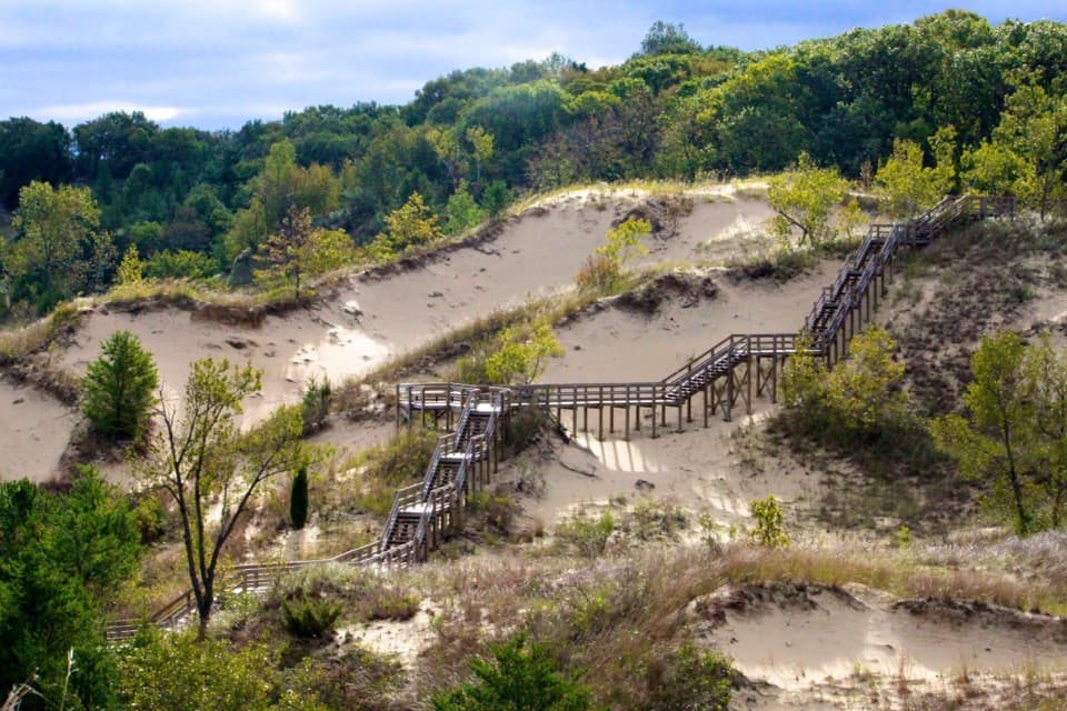
From Mount Baldy Parking Lot, head toward the staircase beside the entrance road. At the top, turn right and follow the packed-dirt trail around the west side of the dune. Keep straight at the junction to reach the dune edge and its sweeping view of Lake Michigan, then descend the loose sand to the shoreline. Walk either way along the beach and retrace the same access path to return. The beach walk itself can add distance beyond the mapped trail. For a shorter outing, stop at the dune-edge view and turn back before the steep descent.
The public route does not include the summit. Access to the top of Mount Baldy is restricted to visits accompanied by authorized staff, including ranger-led programs; stay on the marked beach route and out of closed areas. From the signed dune-edge viewpoint, include some of the sandy foreground with the lake so the picture shows both the view and the drop. At the beach, exposed dark clay layers can be visible beneath lighter sand, though the changing shoreline may cover or reshape them.
The lower approach is loose enough that the climb out can feel much harder than the short walk in. Leave bulky coolers and beach gear at home; everything you carry down has to come back up the same slope. Wind and lake levels continually reshape the dune and shoreline, so follow trail markers rather than stepping across fragile slopes or choosing a new descent. Ticks are present year-round, and poison ivy may grow along the trail edges.
Mount Baldy rises about 126 feet above Lake Michigan and migrates inland as wind shifts its sand. The reported yearly rate varies, so it is better to think of it as a moving dune than to rely on a precise pace. The Michigan City Harbor breakwall changed the supply of sand reaching this shore, and the Army Corps began adding sand in 1974; the history also records replenishment work in 1983 and two rounds in 1996. The dark clay exposed at the beach is another reminder that the layers beneath the sand are part of the scene, not a built wall.
Use Mount Baldy Parking Lot at 101 Rice Street (U.S. 12) in Michigan City. An entrance pass is required to park. The lot has year-round restrooms and potable water, plus a picnic shelter and tables; the shelter and tables are for picnics. Dogs are allowed on a leash no longer than six feet. The trail and picnic shelter are not wheelchair accessible.
Wildlife
 85 sightingsBald EagleMost seen around 8 AMSighting map
 48 sightingsSandhill CraneMost seen around 6 PMSighting map
 114 sightingsWhite-tailed DeerMost seen around 6 PMSighting map
 23 sightingsCoyoteMost seen around 8 PMSighting map
 49 sightingsBeaverMost seen around 8 PMSighting map
 13 sightingsBarred OwlMost seen around 6 AMSighting map
Sighting maps show where each species has been reported across Indiana Dunes. Wildlife moves, so no sighting is guaranteed.
Keep exploring
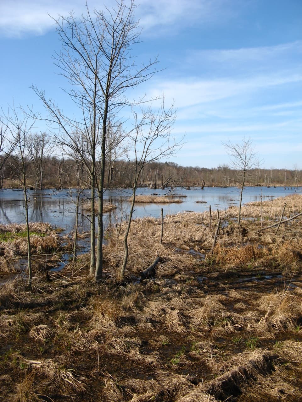 EasyGreat Marsh Accessible Trail0.2 mi · 15 min · 3.6 mi awayA short paved route to the marsh's bird-viewing deck.
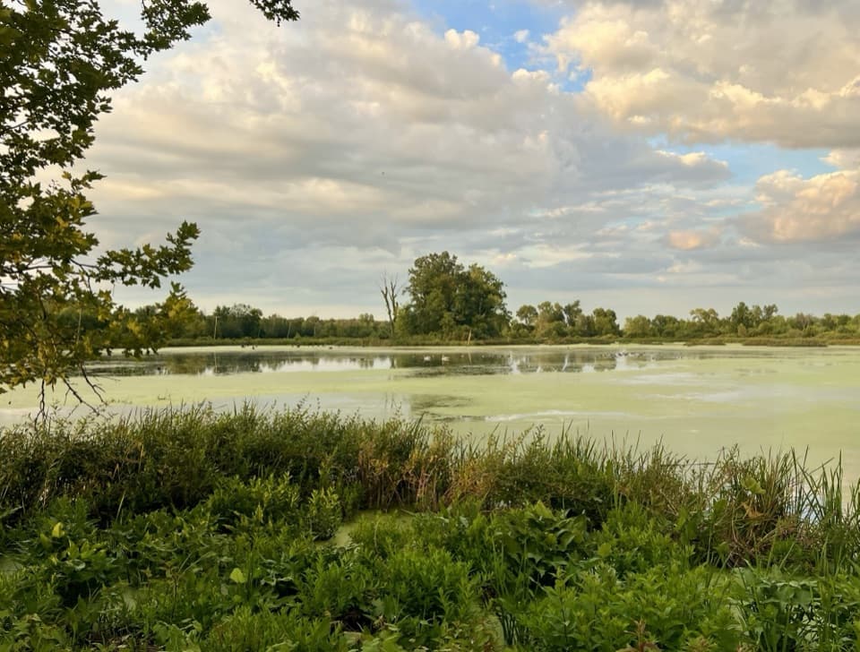 EasyGreat Marsh Trail1.3 mi · 1 hr · 3.7 mi awayA flat marsh loop with an observation deck for birding.
 ModerateDune Ridge Trail0.7 mi · 45 min · 4.6 mi awayA sandy 0.7-mile lollipop with a Great Marsh overlook.
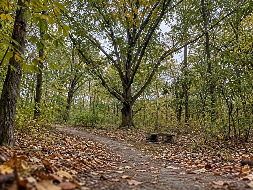 EasyCalumet Dunes Trail0.6 mi · 20 min · 5.2 mi awayA quick paved loop on Lake Michigan's old shoreline
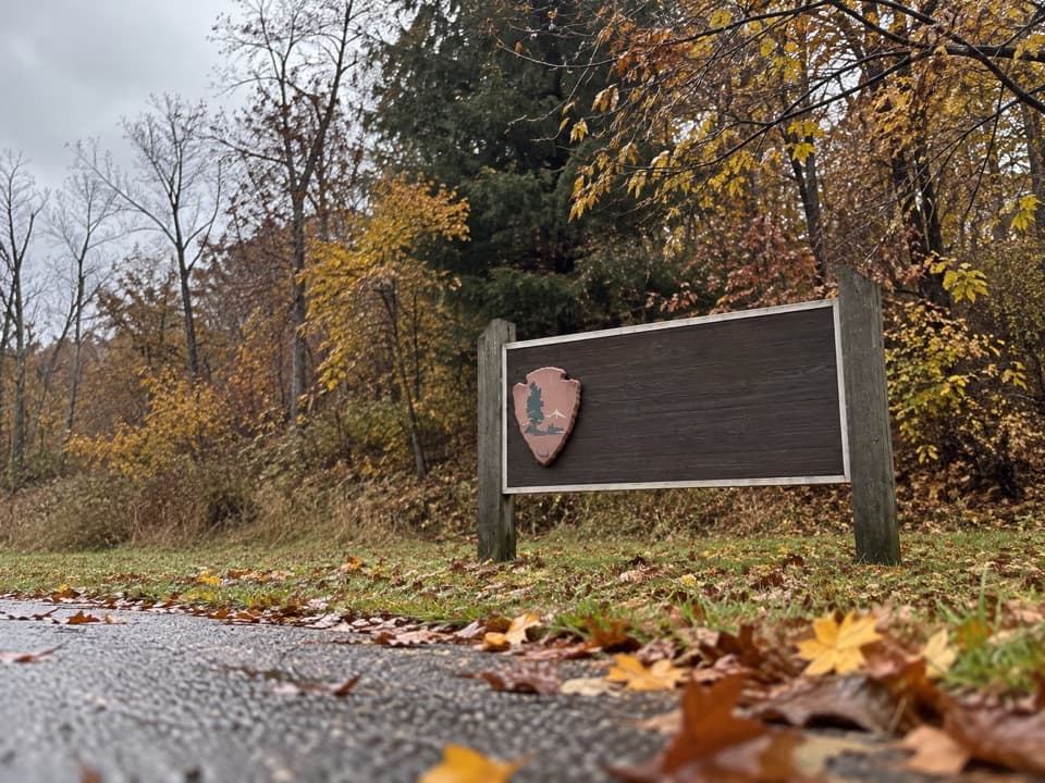 EasyDunewood Trace Campground Trail4.4 mi · 2.5 hr · 5.2 mi awayAn easy, sandy out-and-back to Dunewood Campground.
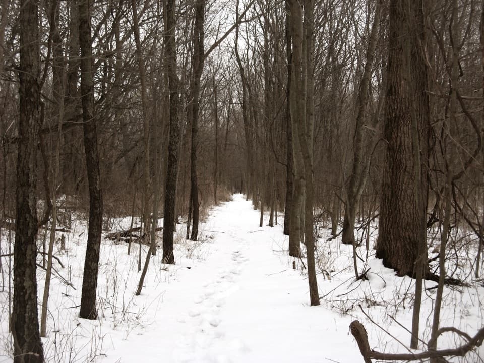 EasyHeron Rookery Trail3.3 mi · 1.8 hr · 5.6 mi awayBest in spring, when woodland flowers brighten the river trail.
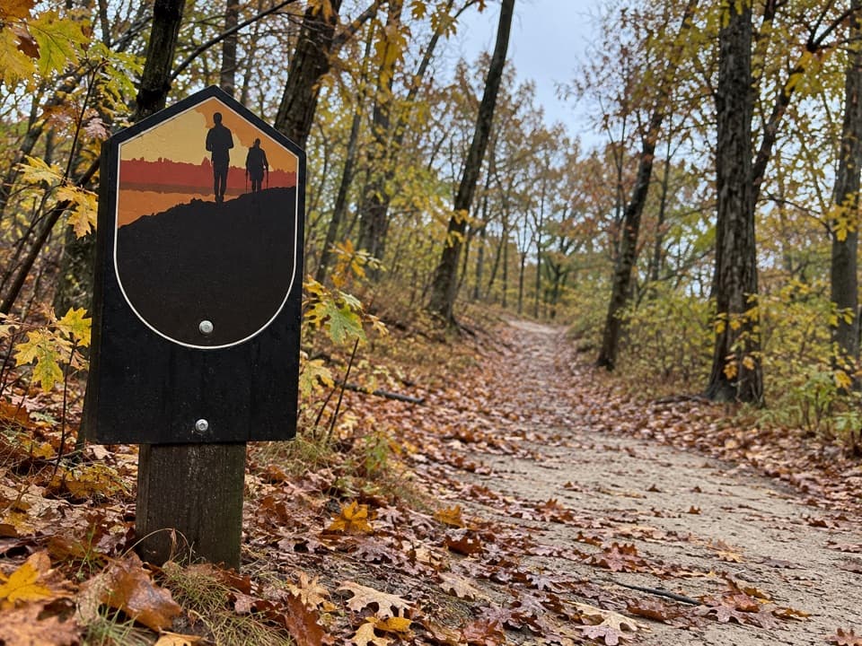 ModerateGlenwood Dunes Extension Trail5.7 mi · 3 hr · 6 mi awayA flat, sandy extension with a longer walk from the main lot.
 EasyPinhook Bog Trail0.9 mi · 1 hr · 7.2 mi awayStep onto a floating boardwalk in a quaking kettle bog.
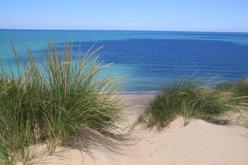 Beach · At the trailheadMount Baldy BeachDune views from the lot; a sandy walk to the lake.
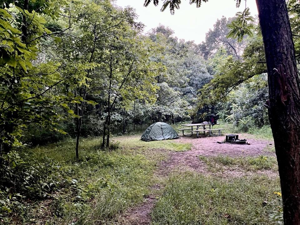 Campground · 1 mi awayCentral Avenue Walk-in CampgroundFive quiet sites near Lake Michigan, reached by a steep gear carry.
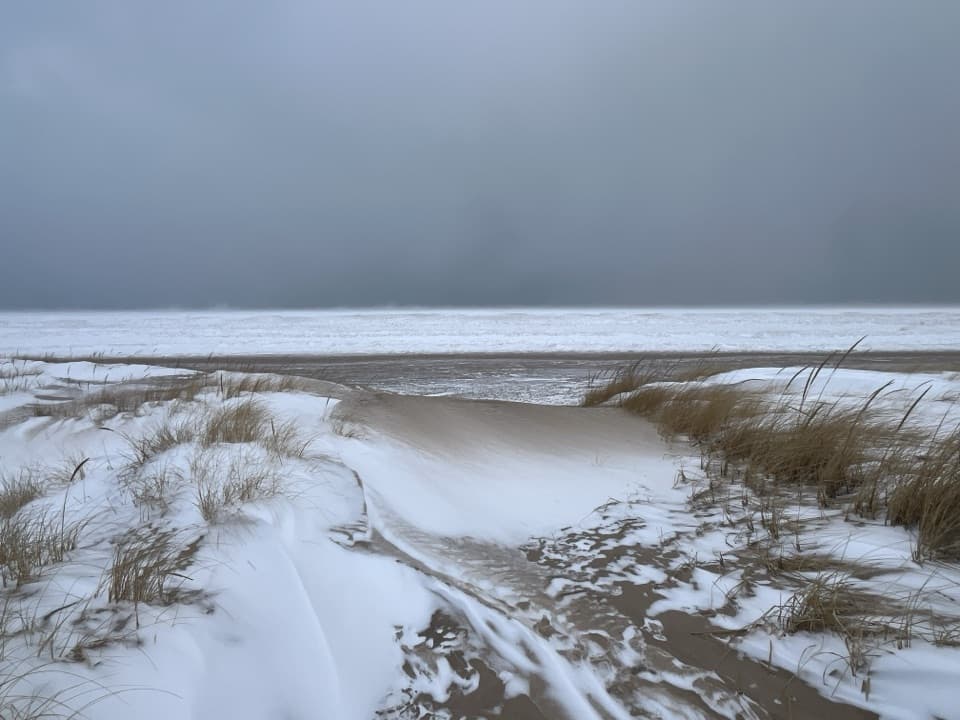 Beach · 1 mi awayCentral Avenue BeachSummer bank swallows shuttle over this sandy Lake Michigan beach.
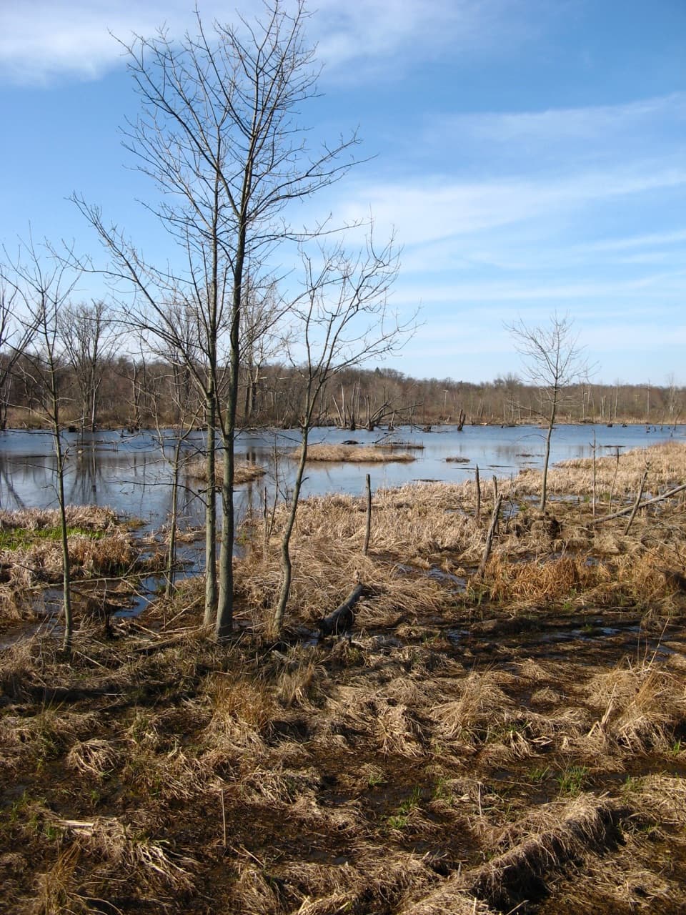 Sight · 3.6 mi awayGreat Marsh Observation DeckA short accessible walk to the Great Marsh
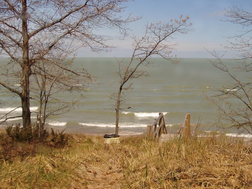 Beach · 3.7 mi awayLake View BeachPicnic above the lake, with stairs down to the sand.
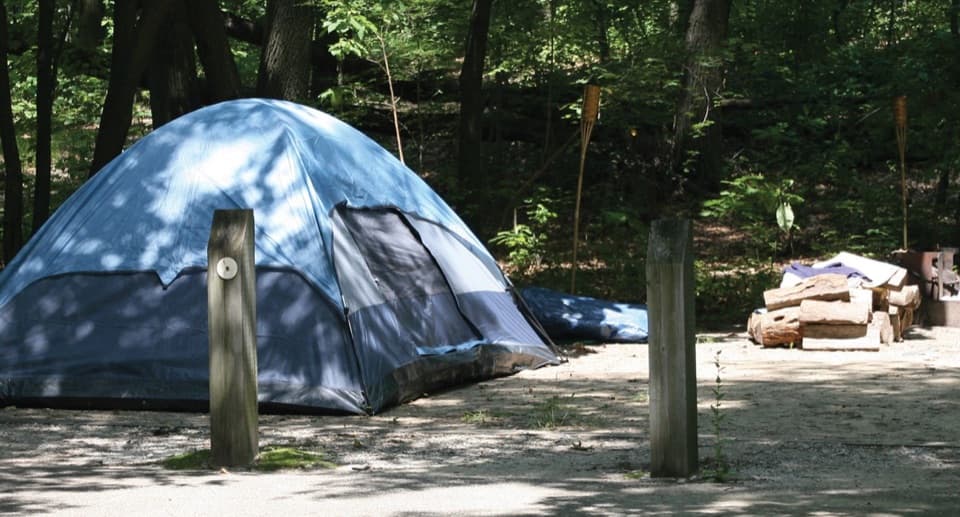 Campground · 3.7 mi awayDunewood CampgroundA wooded base, with lake beaches a short drive away.
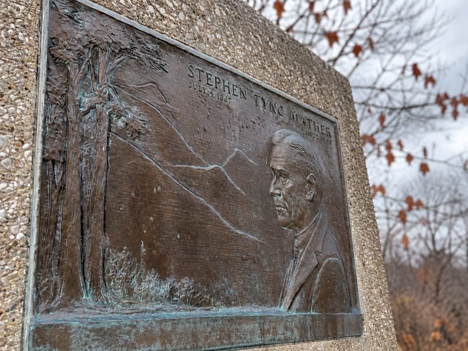 Historic marker · 3.8 mi awayStephen Mather Memorial PlaqueA quick stop for the dunes' conservation story.
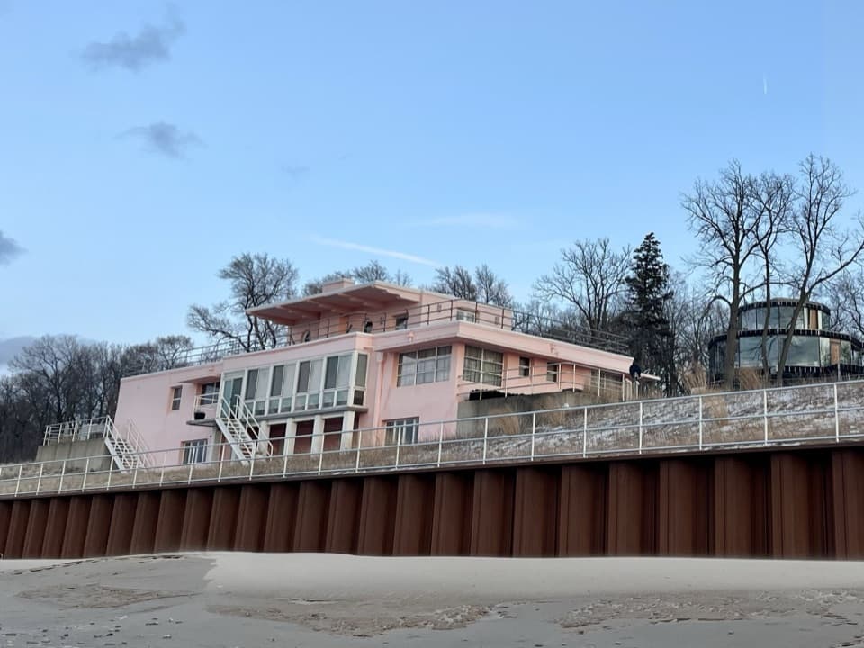 Sight · 4 mi awayCentury of Progress HomesFive 1933 fair homes show five different ideas of modern living.
Parkwolf’s Indiana Dunes ranking

The audio tour guide for the drive, plus offline maps, trails, and wildlife heatmaps for when the signal drops.