Parking
Use the large parking lot after crossing the Maligne River and passing the lake buildings, at the end of paved Maligne Lake Road. Trail 23 starts from the gated track beside the lot.

#4 of 74 trails in Jasper
Jasper National Park, AB
A steep climb ends at a panorama over Maligne Lake.
Photo: Christoph Strässler, CC BY-SA 4.0, via Wikimedia Commons
Overview
Bald Hills Trail is a difficult 6.46-mile (10.4 km) out-and-back from the end of Maligne Lake Road to the former fire lookout at 2,170 m. It climbs about 500 m through open lodgepole pine before the view opens over Maligne Lake and the surrounding ranges. Allow 4–6 hours. Do this one for a big mountain panorama and a proper climb; it is not a quick viewpoint stroll.
 Parkwolf’s verdictIs this the hike for you?
Map & elevation
Plan your hike

The highest, rockiest slopes around here are a summer buffet for grizzly bears.
Jasper Tour Guide
Parkwolf is a GPS audio tour guide for Jasper National Park. As you drive, it chimes in with what’s ahead: hidden gems, upcoming stops, history, geology, and wildlife, right through your car’s speakers.
See the Jasper audio tourRecorded for this trailhead
Maligne Lake Trailheads: Moose Lake Loop“Up ahead are the Maligne Lake hiking trailheads, where I'd choose Moose Lake Loop for a short forest outing.”
Plays as you drive up to this trailhead in the Parkwolf Jasper Tour Guide.
More stories near here in the app
“Fantastic app with many points of information… It’s great to just turn on while you’re driving and it gives you an audio tour of the national Park. We love it!!!!”


Trail guide
Start from the large lot at the end of pavement, after crossing the Maligne River and passing the lake buildings. Trail 23 leaves as a gated track that once served as a fire road. The climb is steady through open pine. At about 3.2 km, keep left and go uphill on the steeper branch; the flatter path to the right leaves the Bald Hills ascent. The flatter right-hand path joins the Skyline and Evelyn Creek network; it is not another way to the Bald Hills lookout. Save some energy for the way back down.
The old lookout site sits at 2,170 m at treeline. From here, Maligne Lake runs below you, with triangular Samson Peak (3,077 m) partway along the far shore. Turn around the panorama for Leah Peak (2,810 m), reddish Opal Peak (2,740 m), the Queen Elizabeth Range, Maligne Valley and the Maligne Range. This is the payoff for the long climb, so give yourself a few minutes to look beyond the lake. As you turn around, Samson is the clear peak above the far shore; Leah and red-toned Opal help orient the rest of the panorama.
A path continues south from the old fire-road end to the foot of a small rounded hill, then climbs steeply across stony tundra to the 2,300 m summit. That is an optional extension beyond the 10.4 km return described here; the distance of the extension is not stated. The last rise is steeper than the fire-road walk and trades the broad lake panorama for a closer, higher ridge experience. Visitors also describe shortcut and multi-summit loops, but their lengths vary. Stick to the same way back if you want the standard return.
Hardy alpine flowers grow on the stony upper ground, and the meadows south of the summit are especially flower-rich in late July and early August. Snow can linger near the high route into early summer and make the path harder to follow, so check trail conditions before setting out. Hikers also describe colder, windier weather near the top than at the lake, so bring a layer for the exposed upper end. Caribou once used snowbanks on these slopes to cool themselves and avoid biting insects; that is a bit of local history, not a promise of a wildlife sighting.
Dogs are not allowed on Trail 23. Maligne Lake is 47 km from Jasper, and there are no gas stations along Maligne Road between Highway 16 and the lake. Fuel up before you turn onto the road.
Wildlife
 175 sightingsGrizzly BearMost seen around 8 PMSighting map
 43 sightingsCaribouMost seen around 7 AMSighting map
 41 sightingsGray WolfMost seen around 6 AMSighting map
 12 sightingsCanada LynxMost seen around 8 PMSighting map
 320 sightingsMooseMost seen around 6 AMSighting map
 1,048 sightingsElkMost seen around 7 AMSighting map
Sighting maps show where each species has been reported across Jasper. Wildlife moves, so no sighting is guaranteed.
Keep exploring
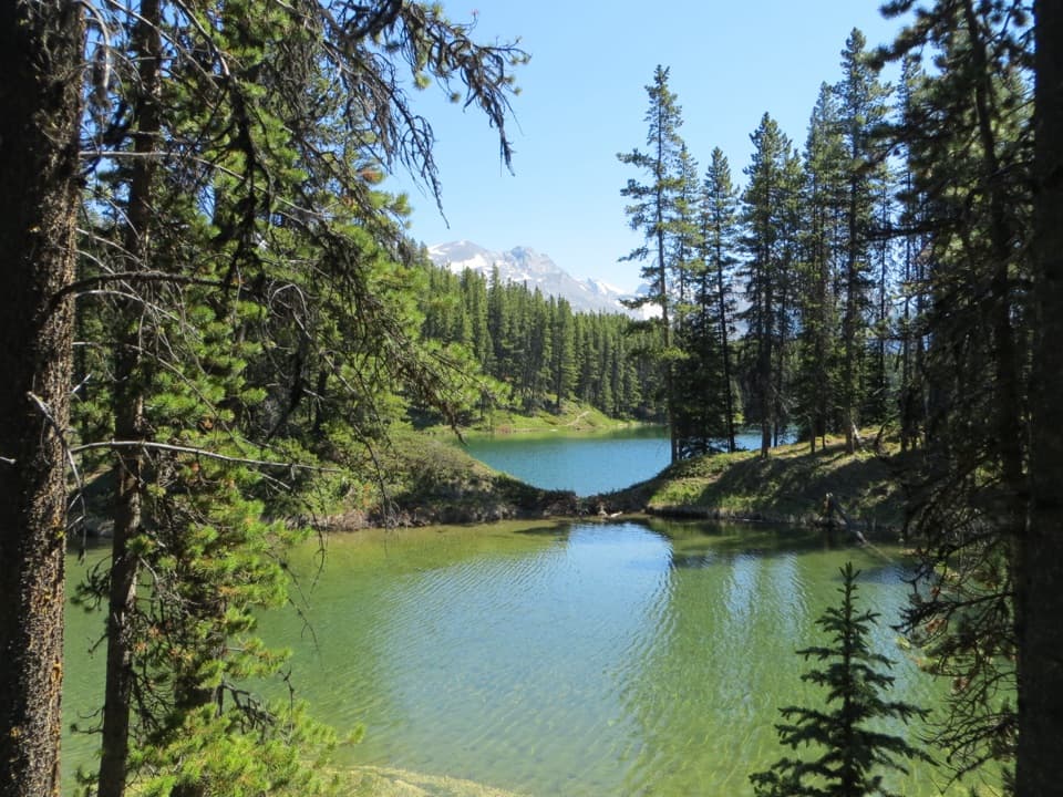 EasyMoose Lake Loop2.7 km · 1.5 hr · At the trailheadAn easy forest loop through rockslide debris to Moose Lake.
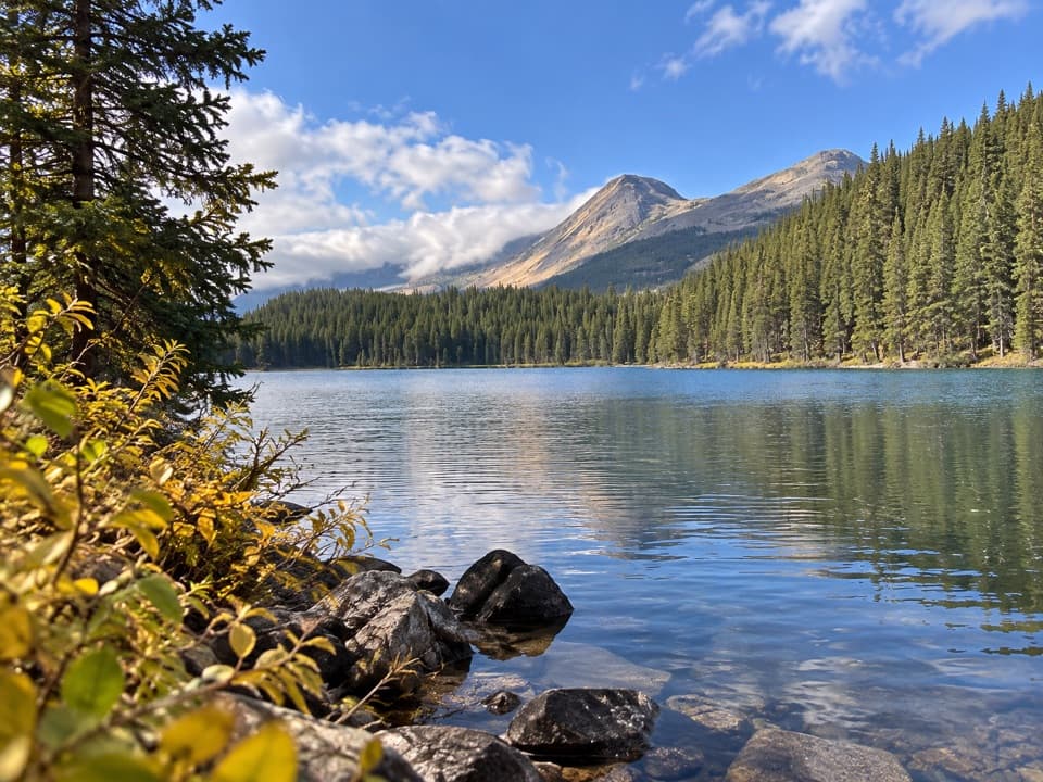 EasyLorraine Lake and Mona Lake Trail5.2 km · 2.5 hr · At the trailheadA gentle Skyline walk to two lakes in landslide hollows.
 ChallengingSkyline Trail44.1 km · 18 hr · At the trailheadA long alpine traverse over three passes, nearly 25 km above treeline.
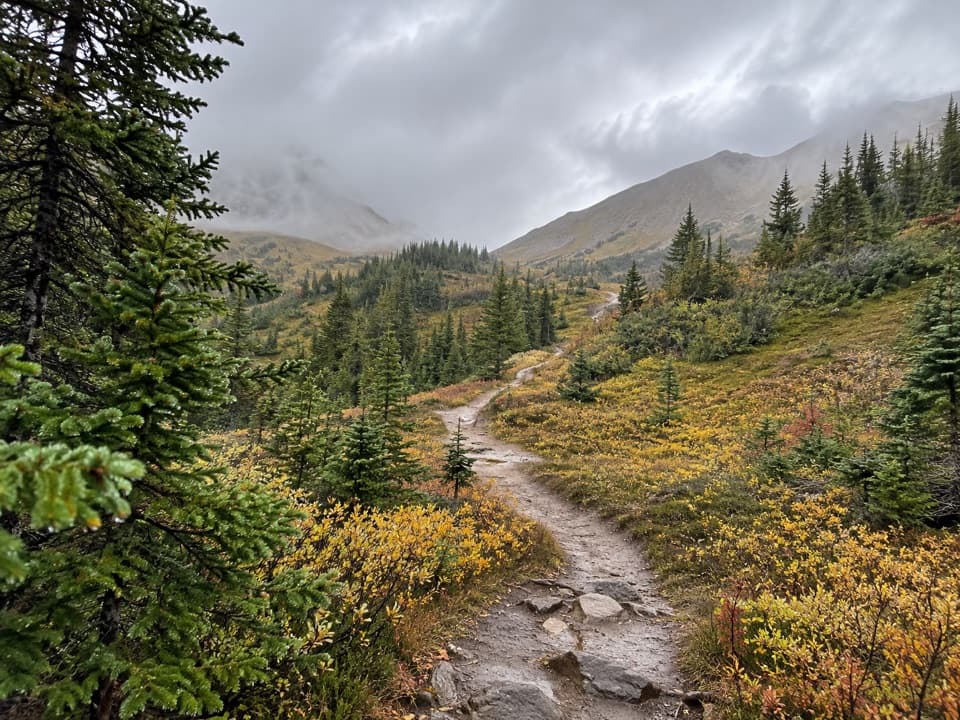 ChallengingLittle Shovel Pass via Skyline Trail20 km · 8 hr · At the trailheadA 20 km return to Little Shovel Pass on the Skyline.
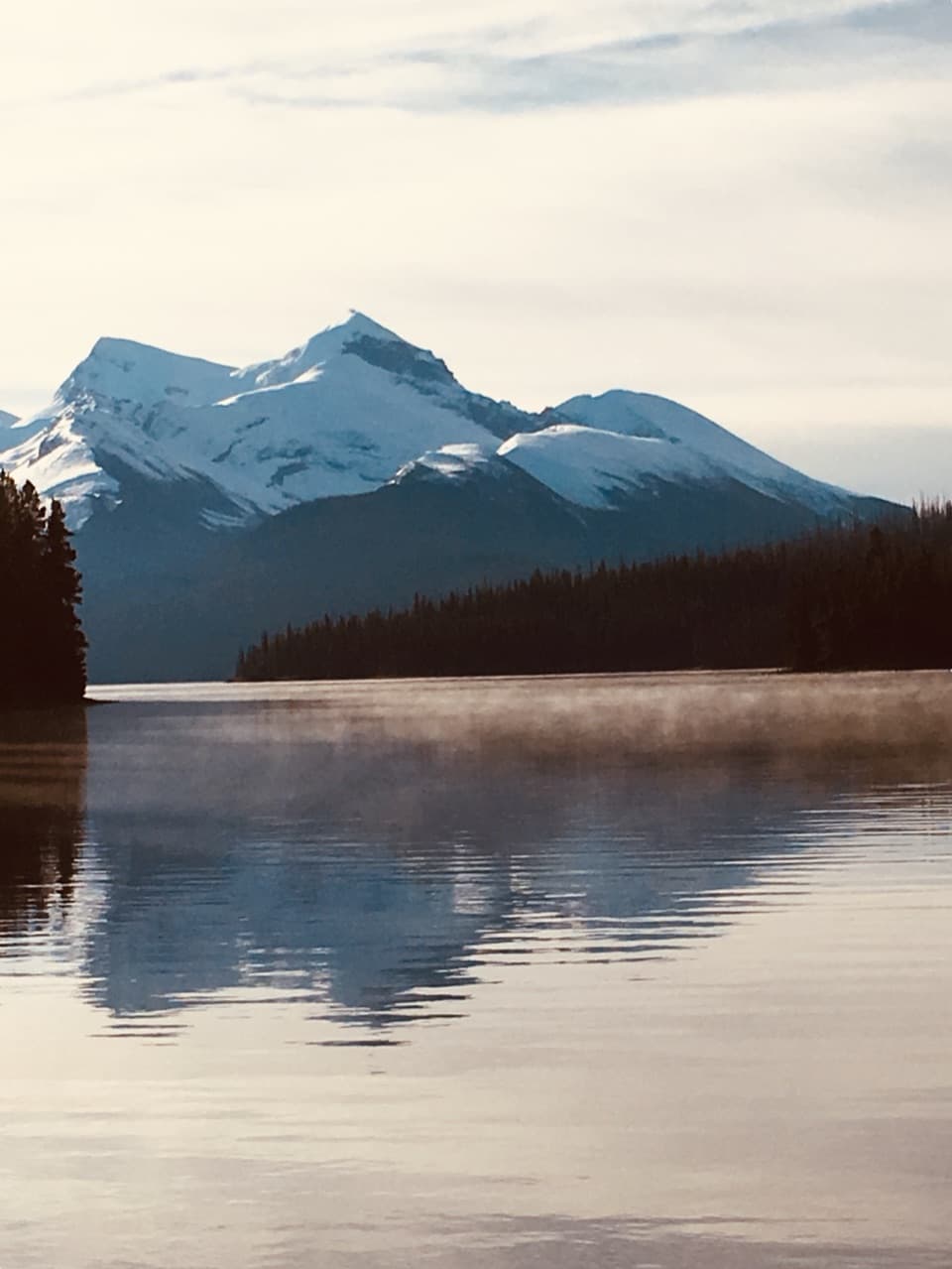 EasyMary Schäffer Loop3.2 km · 1.5 hr · 0.7 km awayA gentle loop beside Maligne Lake, with a story worth the stop.
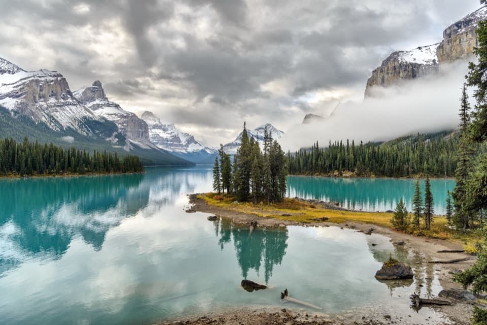 EasySpirit Island Trail0.2 km · 10 min · 13.7 km awayA tiny loop delivers the classic Spirit Island view.
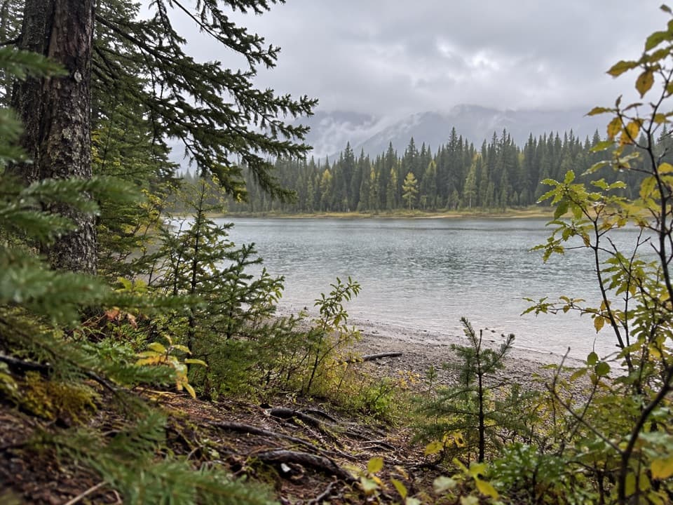 ModerateJacques Lake Trail24.4 km · 8.5 hr · 14.7 km awayTwo small lakes break up a long walk to a lakeside camp.
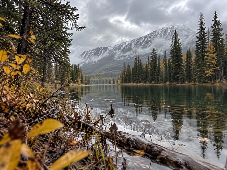 EasyBeaver Lake Trail3.5 km · 1.3 hr · 14.7 km awayA mellow fire-road walk to a small lake beneath Jasper peaks.
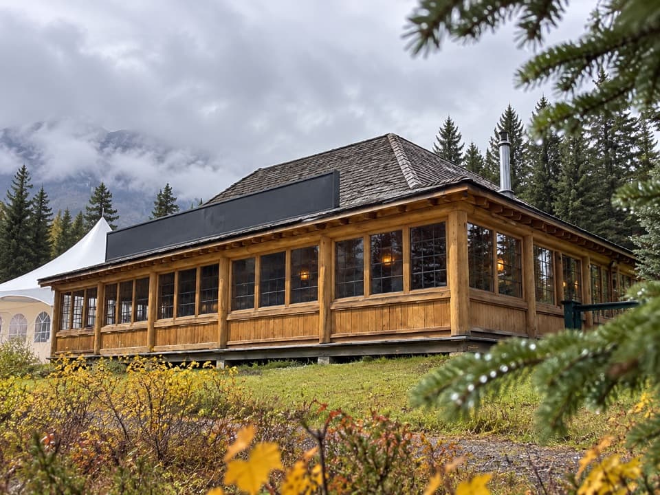 Sight · 0.4 km awayMaligne Lake Chalet and Guest House National Historic SiteA historic log chalet with views over Maligne Lake
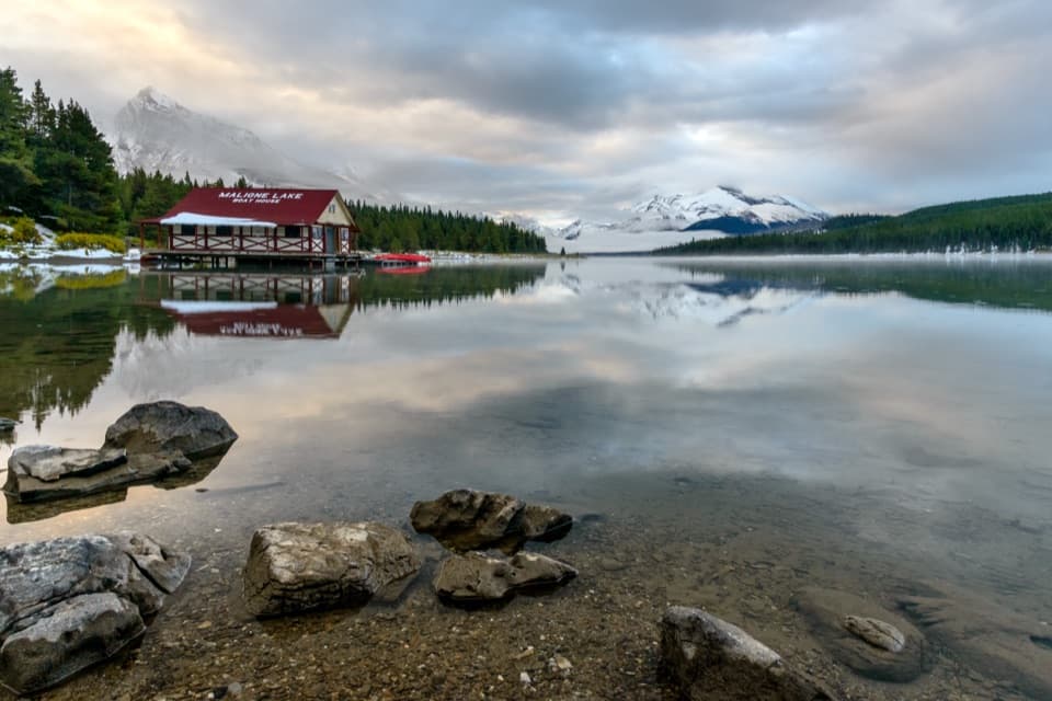 Sight · 0.5 km awayMaligne LakeA 22-kilometre lake, with Spirit Island far upshore.Sight · 0.8 km awayMary Schäffer Day-Use AreaA lakefront pause with history on the shore and an easy loop.
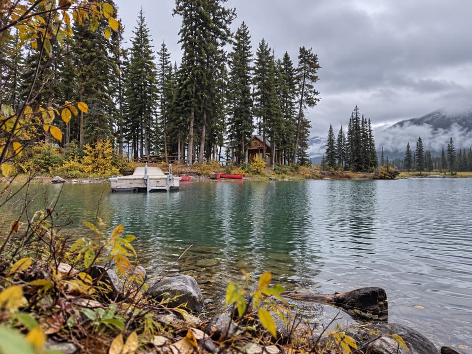 Campground · 3.3 km awayHidden Cove Backcountry CampgroundA 4 km paddle reaches a four-site first camp on Maligne Lake.
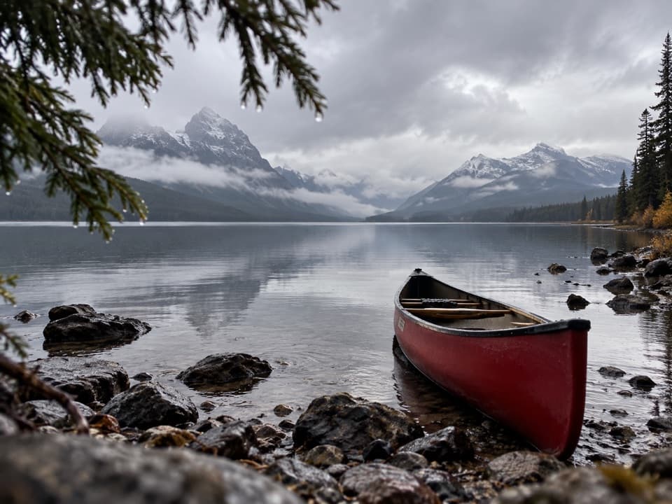 Picnic area · 4 km awayTrapper Creek Picnic SiteA lakeshore lunch stop, if you're already out on the water.
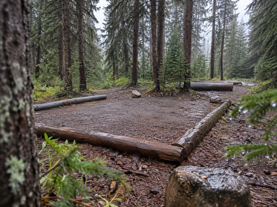 Campground · 4.1 km awayEvelyn Creek Backcountry CampgroundThe Skyline’s quiet creekside camp suits a late start.
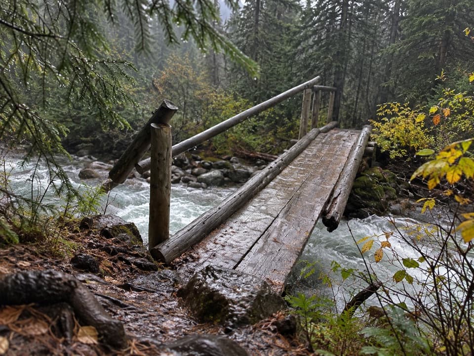 Campground · 4.3 km awayTrapper Creek Backcountry CampgroundA remote overnight stop 43 kilometres into the Maligne Pass crossing.
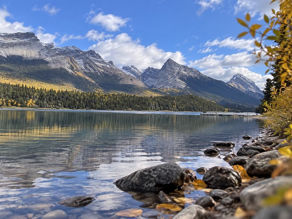 Picnic area · 5.4 km awayFour Mile Picnic SiteA boat-access picnic stop on Maligne Lake’s east shore.
Parkwolf’s Jasper ranking
The audio tour guide for the drive, plus offline maps, trails, and wildlife heatmaps for when the signal drops.