Parking
Use the small signed Wilcox Pass trailhead parking area at the entrance to Wilcox Creek Campground, just off the Icefields Parkway (Hwy 93). The lot is near the Columbia Icefield area and can fill during peak summer hours.
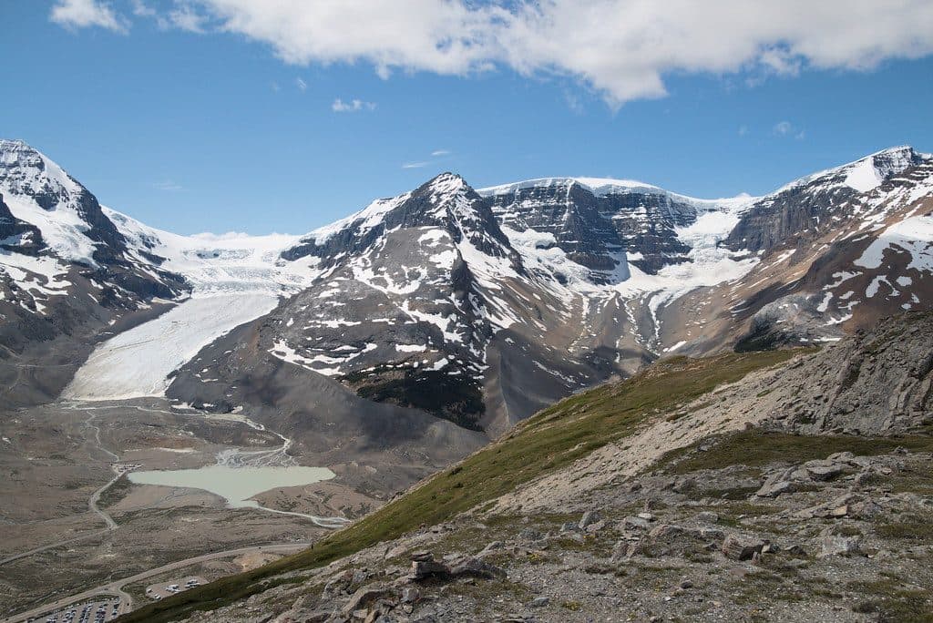
#7 of 91 trails in Jasper
Jasper National Park, AB
Big glacier views for moderate effort above the Icefields Parkway.
Overview
If you want Columbia Icefield drama without mountaineering, this is your move. Wilcox Pass Trail serves up sweeping views of the Athabasca Glacier and surrounding peaks for a moderate out-and-back to Wilcox Ridge Viewpoint.
 Parkwolf’s verdictWhy hike it
Map & elevation
Plan your hike

The highest, rockiest slopes around here are a summer buffet for grizzly bears.
Jasper Tour Guide
Parkwolf is a GPS audio tour guide for Jasper National Park. As you drive, it chimes in with what’s ahead: hidden gems, upcoming stops, history, geology, and wildlife, right through your car’s speakers.
See the Jasper audio tourRecorded for this trailhead
Wilcox Pass Trail and Glacier Views“You're nearing the trailhead for Wilcox Pass. If you do just one hike in the Icefields area, many people would say this is the one.”
Plays as you drive up to this trailhead in the Parkwolf Jasper Tour Guide.
More stories near here in the app
“Fantastic app with many points of information… It’s great to just turn on while you’re driving and it gives you an audio tour of the national Park. We love it!!!!”


Trail guide
From the Wilcox Creek Campground side of the Icefields Parkway, the trail climbs steadily through subalpine spruce-fir forest before breaking out into open alpine meadows. Expect packed dirt low down, then rockier, gravelly tread above treeline. The Parks Canada red chairs sit at an early overlook about 1.5 km (1 mile) from the trailhead. Continue on the main trail to the signed Wilcox Pass, then take the marked branch left onto Wilcox Ridge for the mapped route's final viewpoint. Views continue to open toward the Athabasca Glacier, Mount Athabasca, Hilda Peak, Mount Wilcox, and Nigel Peak. In summer, wildflowers dot the meadows, and you may spot bighorn sheep near treeline.
The standard outing is about 5.8 miles (9.3 km) round trip to Wilcox Ridge Viewpoint via Wilcox Pass, with roughly 1,250 feet (380 m) of gain, taking most hikers 3.5-5 hours including photo stops. It's an out-and-back. The route ends at the viewpoint; the continuation straight beyond the pass is an unmaintained wilderness route toward Tangle Creek and is not part of this visitor route.
This is high, exposed country: bring layers, wind protection, sunblock, and sturdy footwear. Carry all the water and snacks you'll need—there are no services beyond the parking area. Practice bear safety, keep dogs leashed, and stay on the marked route above treeline to protect fragile alpine habitat.
Wildlife
 174 sightingsGrizzly BearMost seen around 8 PMSighting map
 43 sightingsCaribouMost seen around 7 AMSighting map
 40 sightingsGray WolfMost seen around 6 AMSighting map
 12 sightingsCanada LynxMost seen around 8 PMSighting map
 315 sightingsMooseMost seen around 6 AMSighting map
 1,028 sightingsElkMost seen around 7 AMSighting map
Sighting maps show where each species has been reported across Jasper. Wildlife moves, so no sighting is guaranteed.
Keep exploring
 ModerateWilcox Ridge Trail9.3 km · 4 hr · At the trailheadModerate out-and-back to Wilcox Ridge with Athabasca Glacier and Columbia Icefield views.
 ModerateWilcox Pass8 km · 3 hr · At the trailheadGlacier views and open alpine meadows on a moderate out-and-back to Wilcox PassEasyBoundary Lake trail2.9 km · 1.5 hr · 1.8 km awayShort, quiet out-and-back to a turquoise glacial lake at the Banff–Jasper boundary
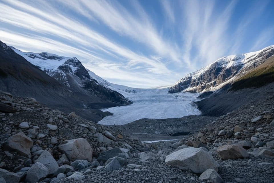 ModerateAthabasca Glacier Forefield Trail3.5 km · 1.5 hr · 2.7 km awayA flat, rocky walk across the Athabasca Glacier’s forefield to the Toe of the Glacier connection.
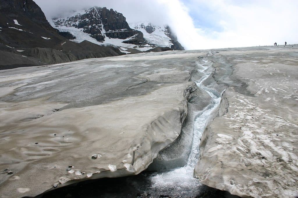 EasyToe of the Athabasca Glacier1.9 km · 1 hr · 3.3 km awayQuick, windswept walk to a roped viewpoint at a famous glacier toe.
 ChallengingBrazeau Lake Trail81 km · 2 days · 8.6 km away81 km lollipop loop from Nigel Creek over Nigel Pass, Brazeau Lake and three alpine passes
 ChallengingBrazeau Loop81 km · 1.3 days · 8.6 km awayRemote alpine circuit: big passes, turquoise lake, real commitment
 ChallengingJonas Pass Trail53.9 km · 1 day · 8.6 km awayA demanding 54 km alpine traverse from Nigel Creek over Jonas Pass to Poboktan Creek
 Campground · 0.6 km awayWilcox Creek CampgroundAlpine FCFS campground with big glacier views near Wilcox Pass
 Campground · 1.3 km awayIcefield CampgroundTent-only glacier-view camping steps from Athabasca Glacier
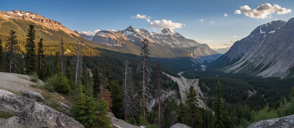 Scenic pullout · 1.8 km awaySunwapta PassHigh-alpine pass with big views and a clear park boundary moment
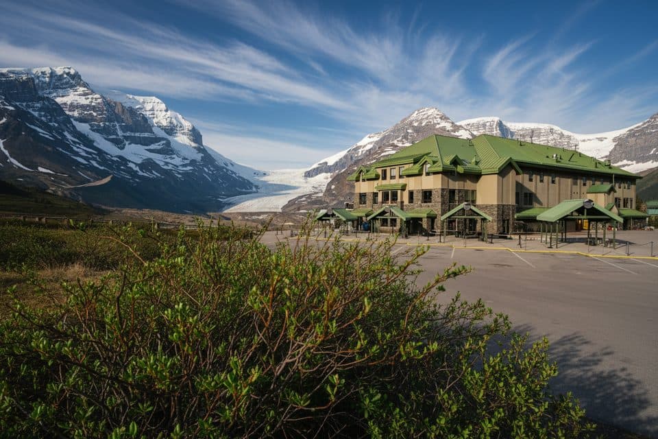 Lodging · 2.7 km awayGlacier View LodgeThe only stay facing Athabasca Glacier, with knockout views
 Sight · 2.7 km awayGlacier GalleryInteractive glacier exhibit at the Columbia Icefield hub
 Visitor center · 2.7 km awayColumbia Icefield Discovery CentreGlacier hub with big views and tours to ice and skywalk
 Sight · 3.4 km awaySunwapta LakeQuiet glacial lake at the headwaters of the Sunwapta River
 Sight · 4.3 km awayMount AthabascaClassic Icefield peak for big views and real glacier climbing
Parkwolf’s Jasper ranking
The audio tour guide for the drive, plus offline maps, trails, and wildlife heatmaps for when the signal drops.





