Challenging

Tonquin Valley Trail

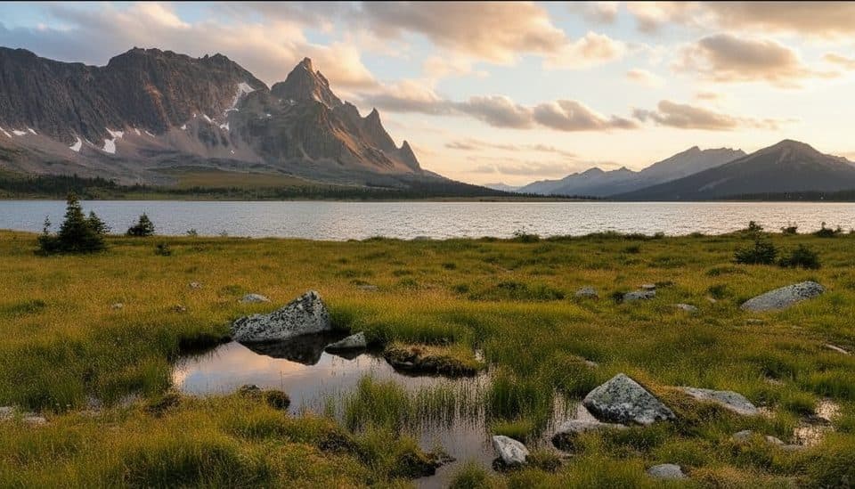
Big-mountain swagger: Amethyst Lakes under the jagged Ramparts
Tonquin Valley Trail, Jasper National Park
Distance27.3 mi
Typical time60 hr
DifficultyChallenging
PetsNot allowed

Why go

The Tonquin Valley is a classic Jasper backcountry trek: a broad alpine valley, glacier-fed Amethyst Lakes, and the serrated walls of the Ramparts towering above it all. It’s remote, dramatic, and absolutely worth the effort—if you’re ready for mud, bugs, and variable weather.

Route at a glance

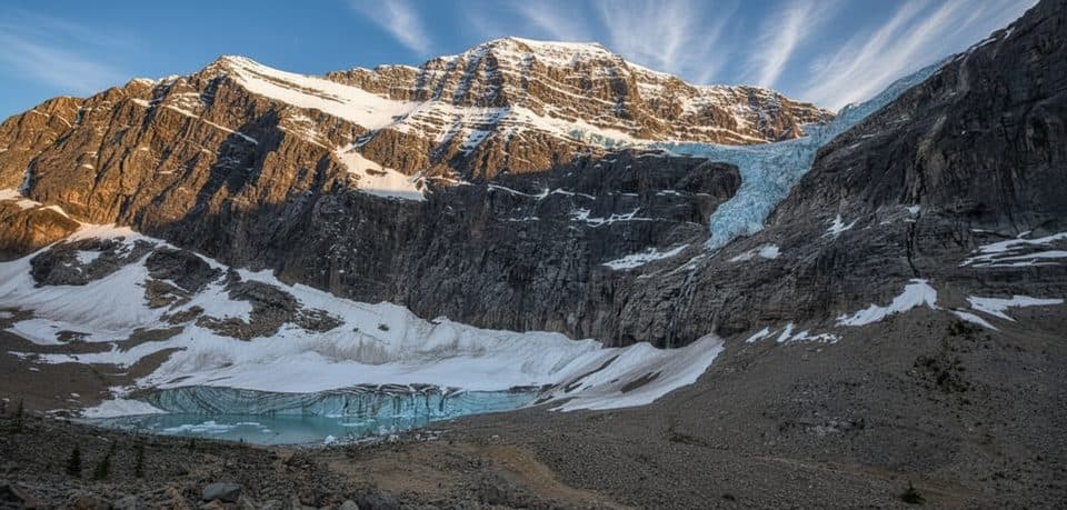
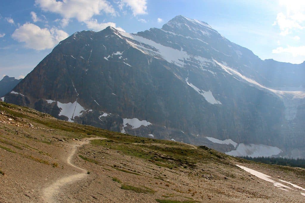
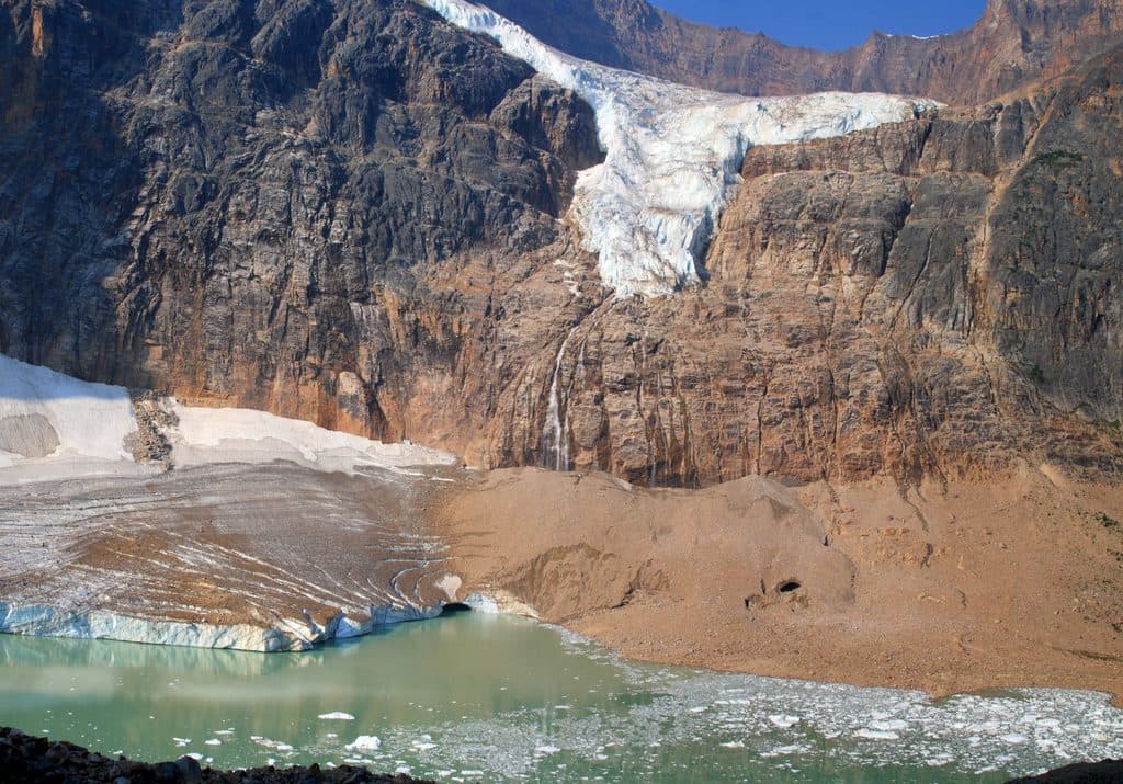
This is a point-to-point, horseshoe-shaped traverse between the Astoria Creek and Portal Creek trailheads, roughly 43–44 km (about 27 miles) one way. Expect around 1,075 m of total elevation gain with high points near 2,200 m. Most hikers take 2–4 days, moving between designated backcountry camps like Astoria, Surprise Point, Clitheroe, and Amethyst. Many start via Astoria (near Cavell Lake and Mount Edith Cavell) and finish at Portal Creek.

Scenery and what you’ll see

The heart of the trip is Amethyst Lakes—two turquoise basins backdropped by the Ramparts, a jagged ridgeline that rises roughly 900 m above the valley floor. Meadows, wide-open alpine views (including from the Maccarib Pass area), and photogenic dawn/dusk reflections are the norm here. At night, you’re in one of the world’s largest dark sky preserves—bring a tripod if you like shooting stars.

Conditions and reality check

Parts of the trail are notoriously muddy and wet—horse traffic doesn’t help—so waterproof boots and gaiters are smart, and there are some stream crossings. Mosquitoes can be fierce in mid-summer. Weather turns quickly at elevation; even in summer, be ready for cold rain or a surprise dusting of snow. It’s backcountry: you’ll feel the distance and the remoteness.

Wildlife

This is prime habitat for woodland caribou, along with grizzly and black bears, moose, and plenty of birdlife (loons are a common soundtrack near the lakes). Carry bear spray and know how to use it. Dogs are not allowed to protect the endangered caribou herd.

Camping, huts, and permits

You must reserve designated backcountry campsites in advance; they’re spaced to make trip planning straightforward and include bear-proof food lockers. There’s also an Alpine Club of Canada hut in the valley that can be booked separately. Secure your spots early through Parks Canada.

Best time to hike

Late June through early October is the window. Early season can be extra muddy and buggy; late summer into September usually means firmer tread, fewer insects, and golden larches—though fall storms and early snow are possible. Start early each day for calm lake reflections and better wildlife viewing.

Who it’s for

Backpackers who want big scenery and fewer crowds than Jasper’s Skyline Trail will love Tonquin’s wild feel. If you hate mud, mosquitoes, or logistical planning between two trailheads, this might not be your trip. If you can embrace the mess, the payoff is first-rate alpine drama.

Pros

  • World-class dark sky for stargazing in a vast preserve
  • Small, spaced-out campgrounds with bear lockers keep nights calm

Cons

  • Persistent mud and manure from horse traffic
  • Mosquitoes can be brutal mid-summer

Parking

Two established trailheads with parking: Astoria Creek on Mount Edith Cavell Road near Cavell Lake, and Portal Creek. Park at either end and plan your exit logistics if hiking point-to-point.

Caution

Backcountry travel with frequent mud, wet meadows, and some stream crossings; carry bear spray and follow all food-storage rules. Weather can shift to cold rain or snow any time. Dogs are prohibited to protect caribou. Check current advisories and any seasonal closures before you go.

The Parkwolf tour guide sitting on a phone mounted in a car

Parkwolf Tour Guide

Like a tour guide in your car.

Bring Jasper trail research into the car, with offline maps and stories that play as you drive.Download Parkwolf on the App Store