
Place · 0 mi away
Challenging
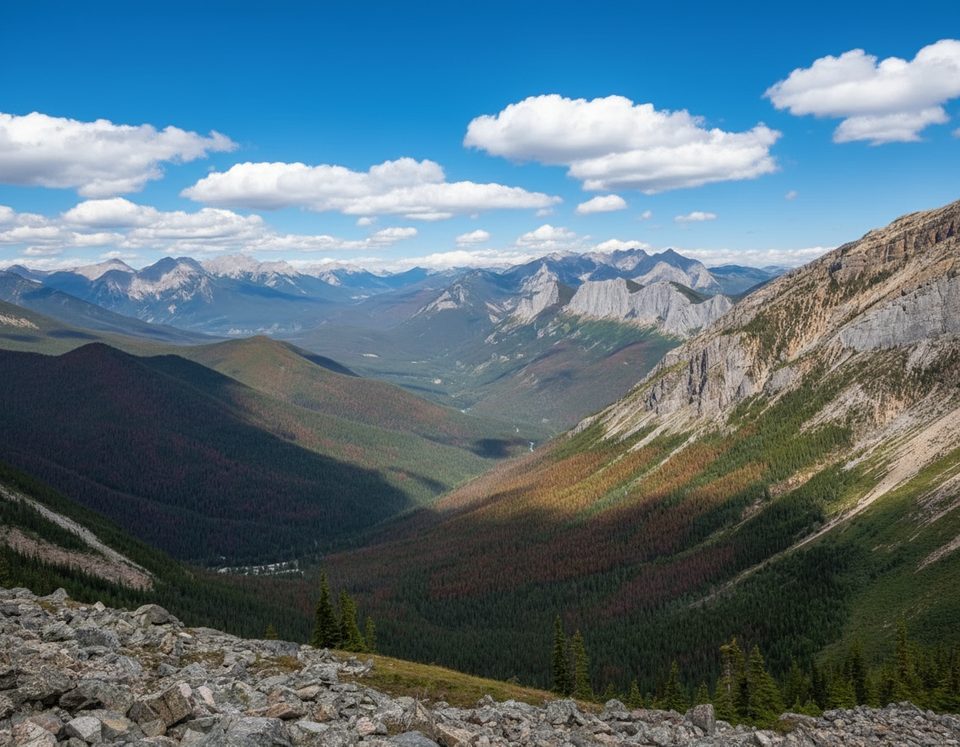
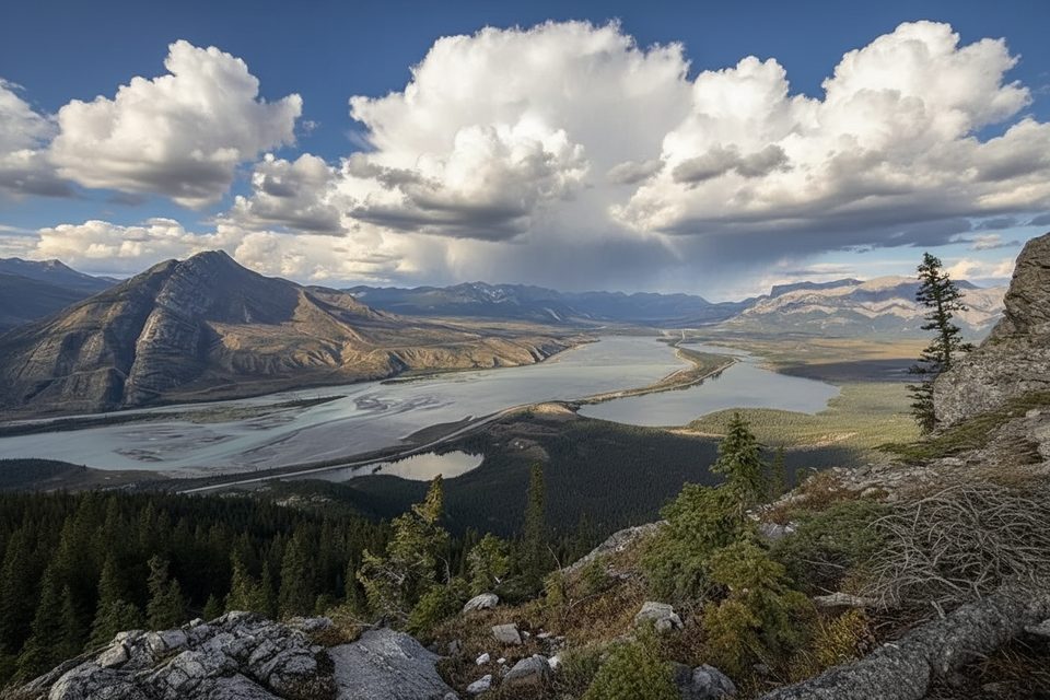
If you want big, rewarding views without committing to an all‑day epic, this is your move. Sulphur Skyline climbs quickly from the Miette Hot Springs into wide‑open alpine for a true summit feel and a 360° panorama over the Fiddle River Valley and surrounding peaks. It’s a sustained climb and absolutely worth the sweat.
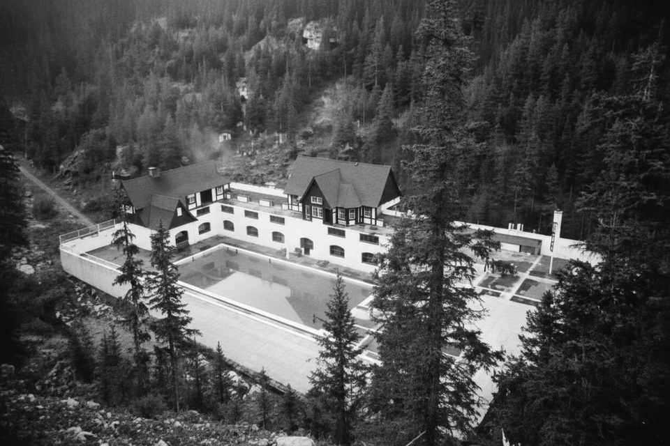
Start at the southeast end of the Miette Hot Springs parking lot by the pool building. The path begins briefly paved, then hits dirt and gravel as you grind through shaded forest switchbacks. Around 0.5 km a horse trail joins from the left, and higher up at Shuey Pass you’ll keep right for Sulphur Skyline (also signed as Sulphur Ridge). Above treeline—near a distinctive big white rock—the route becomes fully exposed. You’ll see the rounded summit dome ahead; the final push is the steepest on loose rock. There’s a grassy sub‑summit plateau with benches just below the top—useful if wind is ripping on the crest.
From the summit, the panorama takes in the Fiddle River Valley and a sea of Jasper peaks, with Utopia Mountain, Mount O’Hagan, and Slide Mountain standing out on clear days. Expect classic Rockies terrain—limestone and shale ridges shaped by ancient seas and ice. “Sulphur” nods to the mineral‑rich hot springs down below.
This is a leg‑burner with very little relief on the ascent. The surface shifts from packed dirt to increasingly rocky tread, and the final 400 m or so are steep and loose—fantastic going up, slick coming down. Above treeline you’re fully exposed to wind and sun. Poles help, especially on the descent. Bring layers; it’s often cooler and gusty at the top.
Late May through early October is the sweet spot, conditions permitting. Miette Road is typically closed late October to May—check status before you go. Start in the morning for cooler temps, more stable weather, lighter crowds, and easier parking. Avoid summiting in storms or high winds.
Park at Miette Hot Springs; trail starts at the southeast end of the lot by the pool building. Free, but fills early in peak season.
Exposed and windy above treeline; final approach is steep with loose rock. No water on route. Early junctions can confuse—carry an offline map. Miette Road is often closed late Oct–May.
Place · 0 mi away
Place · 0 mi away
Place · 0.2 mi away
Place · 5.9 mi away
Easy · 0 mi away
Easy · 8.8 mi away
Moderate · 15.5 mi away
Moderate · 17.3 mi away

Parkwolf Tour Guide
