Parking
Use the Jacques Lake lot off Maligne Lake Road, at the south end of Medicine Lake.
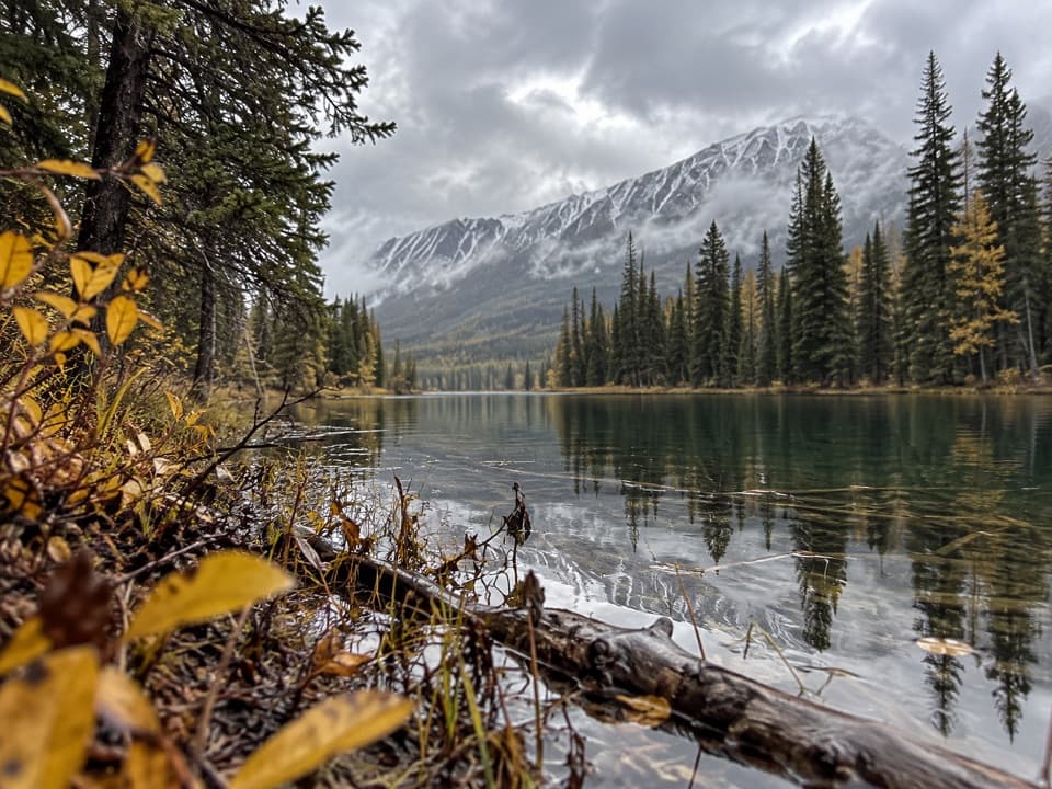
Jasper National Park, AB
A mellow fire-road walk to a small lake beneath Jasper peaks.
Overview
Map & elevation
Plan your hike

The highest, rockiest slopes around here are a summer buffet for grizzly bears.
Jasper Tour Guide
Parkwolf is a GPS audio tour guide for Jasper National Park. As you drive, it chimes in with what’s ahead: hidden gems, upcoming stops, history, geology, and wildlife, right through your car’s speakers.
See the Jasper audio tourRecorded for this trailhead
Jacques Lake Trailhead: The Shorter Lake Walk“You're nearing the Jacques Lake trailhead at the south end of Medicine Lake. For a shorter outing, I'd choose Beaver Lake: allow an hour to an hour and a half for roughly three and a half kilometres there and back.”
Plays as you drive up to this trailhead in the Parkwolf Jasper Tour Guide.
More stories near here in the app
“Fantastic app with many points of information… It’s great to just turn on while you’re driving and it gives you an audio tour of the national Park. We love it!!!!”


Trail guide
This is the short out-and-back to Beaver Lake on Trail #139, starting at the Jacques Lake lot and returning the same way. Parks Canada describes the lake 1.6 km from the lot; the mapped route reaches its south shore after about 1.7 km. Plan for roughly 2.2 miles (3.5 km) round trip and 1–1.5 hours.
The first part of Trail #139 follows a wide fire road and climbs gently. Beaver Lake is a small stop with mountain views; turn around at the shore. Continuing along Trail #139 goes toward Summit Lakes and then much farther to Jacques Lake, a separate, longer outing.
The written 1.6 km distance and mapped shoreline line differ a little, so the round-trip total is an estimate based on the mapped corridor. This row covers only the short lake outing from the roadside parking lot.
Wildlife
 175 sightingsGrizzly BearMost seen around 8 PMSighting map
 43 sightingsCaribouMost seen around 7 AMSighting map
 41 sightingsGray WolfMost seen around 6 AMSighting map
 12 sightingsCanada LynxMost seen around 8 PMSighting map
 320 sightingsMooseMost seen around 6 AMSighting map
 1,048 sightingsElkMost seen around 7 AMSighting map
Sighting maps show where each species has been reported across Jasper. Wildlife moves, so no sighting is guaranteed.
Keep exploring
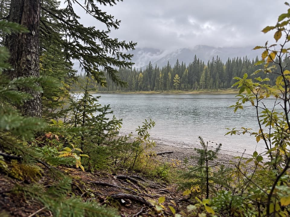 ModerateJacques Lake Trail24.4 km · 8.5 hr · At the trailheadTwo small lakes break up a long walk to a lakeside camp.
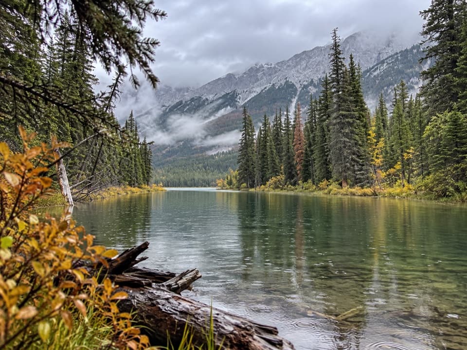 ModerateSummit Lakes Trail13 km · 4 hr · At the trailheadA gentle climb to two backcountry lakes, then back the same way.
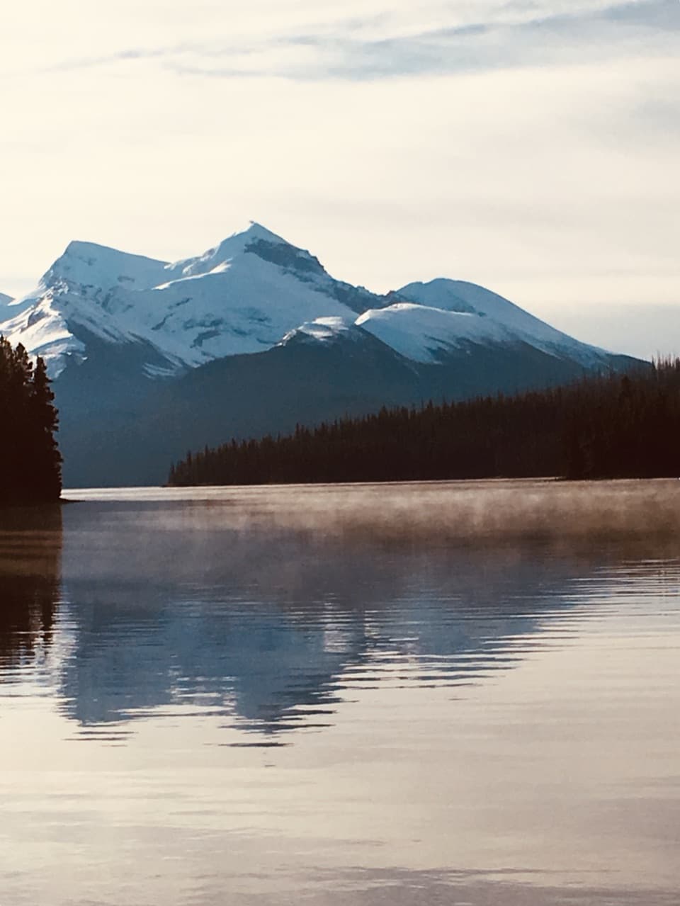 EasyMary Schäffer Loop3.2 km · 1.5 hr · 14.5 km awayA gentle loop beside Maligne Lake, with a story worth the stop.
 ChallengingSkyline Trail44.1 km · 18 hr · 14.7 km awayA long alpine traverse over three passes, nearly 25 km above treeline.
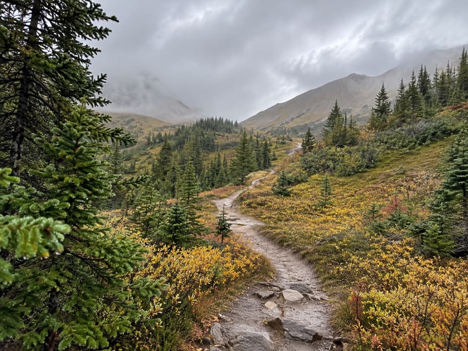 ChallengingLittle Shovel Pass via Skyline Trail20 km · 8 hr · 14.7 km awayA 20 km return to Little Shovel Pass on the Skyline.
 ChallengingBald Hills Trail10.4 km · 5 hr · 14.7 km awayA steep climb ends at a panorama over Maligne Lake.
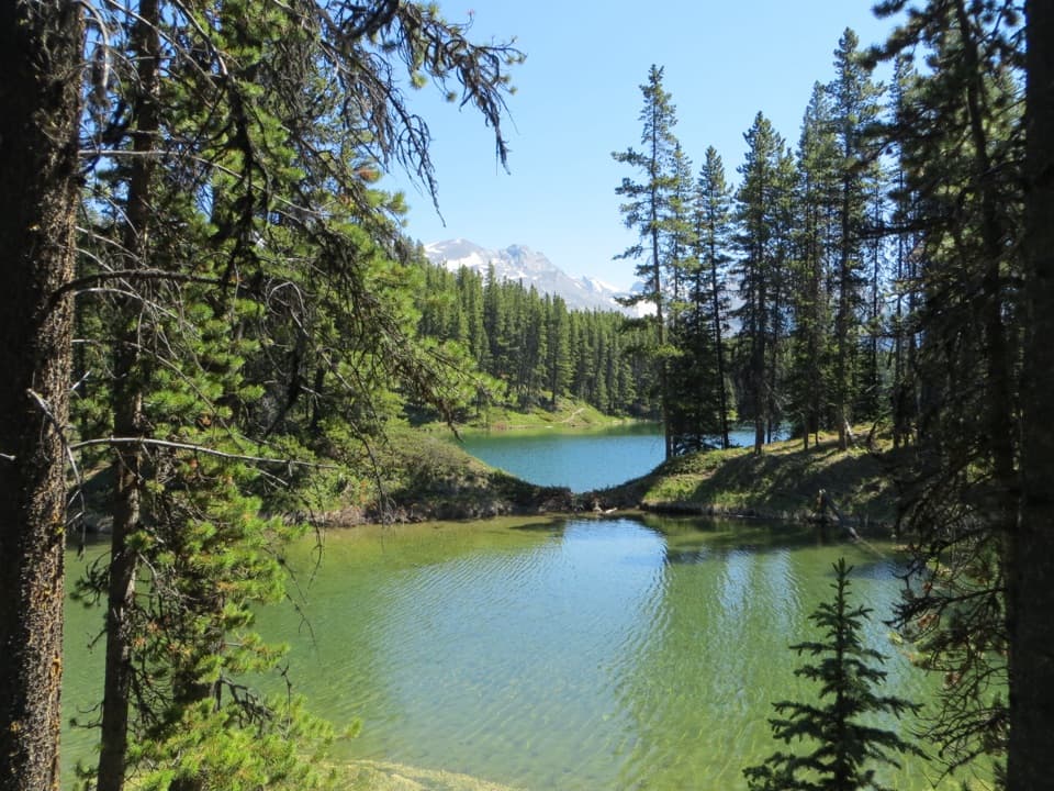 EasyMoose Lake Loop2.7 km · 1.5 hr · 14.7 km awayAn easy forest loop through rockslide debris to Moose Lake.
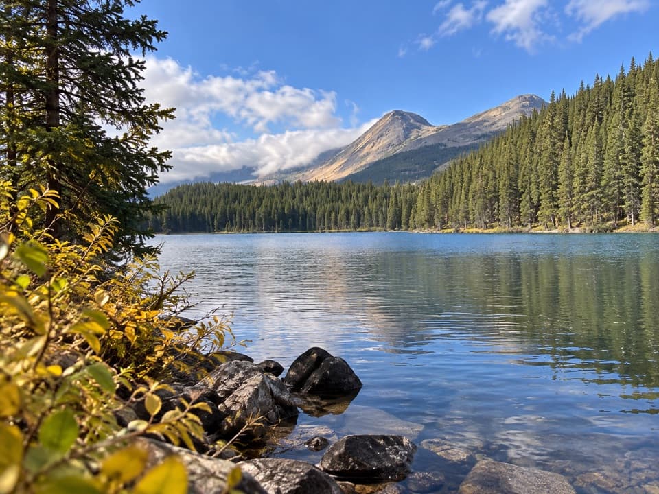 EasyLorraine Lake and Mona Lake Trail5.2 km · 2.5 hr · 14.7 km awayA gentle Skyline walk to two lakes in landslide hollows.
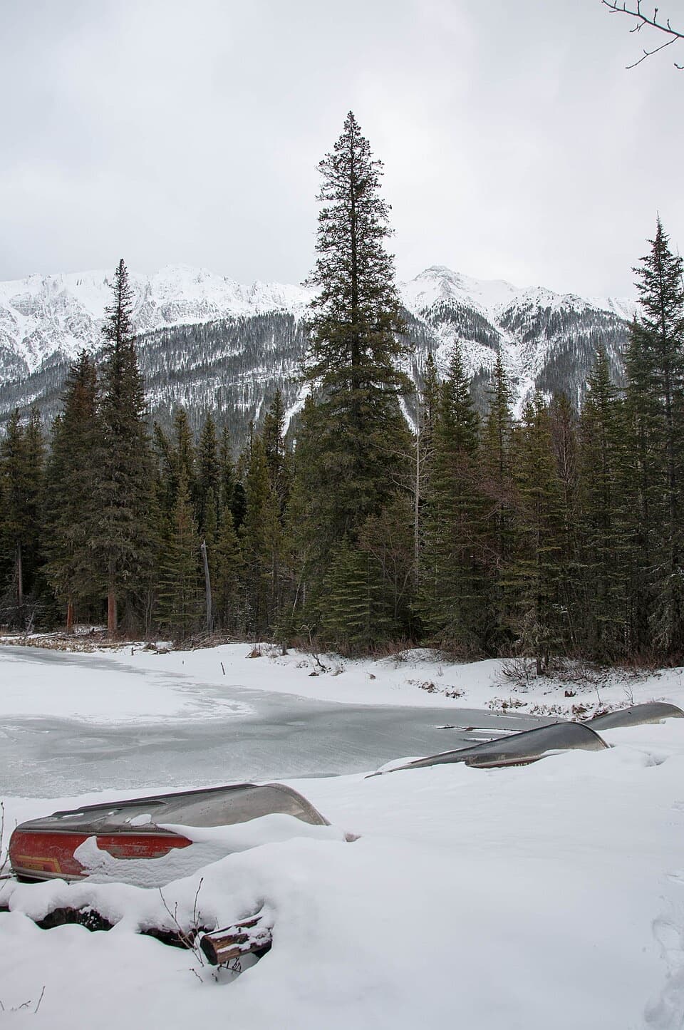 Picnic area · 1.6 km awayBeaver Lake Picnic AreaA handy picnic stop on the way to Maligne Lake
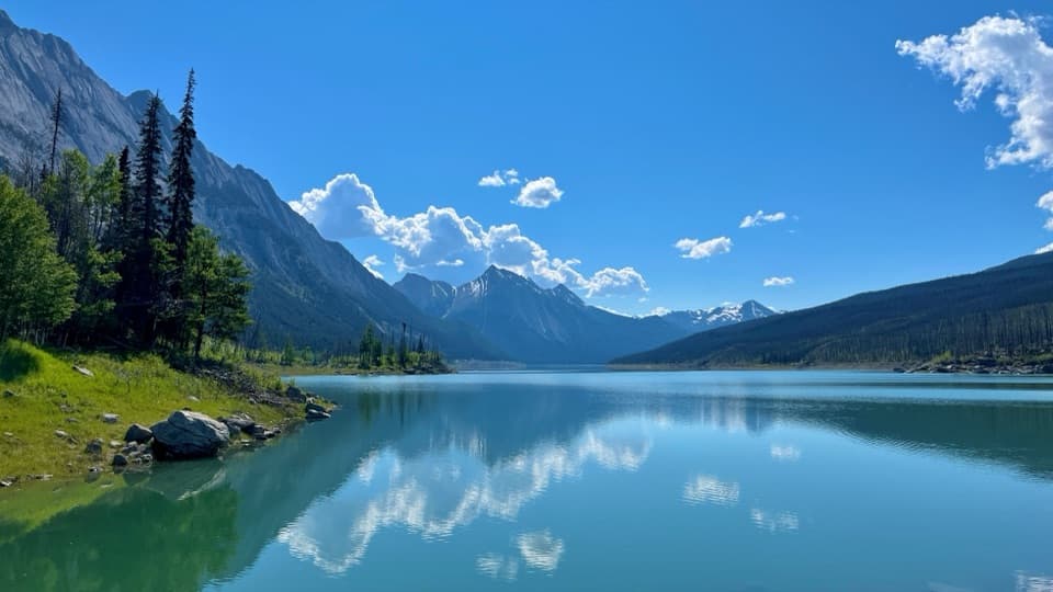 Sight · 6.1 km awayMedicine LakeA lake that drains through caves and resurfaces near Maligne Canyon.
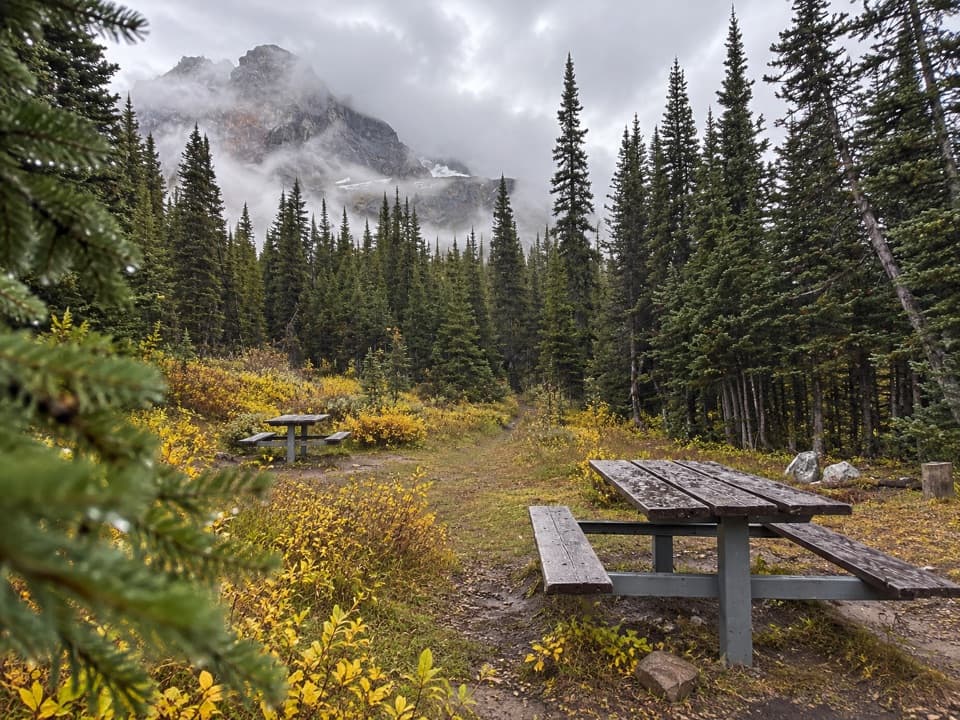 Campground · 7.7 km awayWatchtower Backcountry CampgroundA remote overnight camp along the unmaintained Watchtower route.
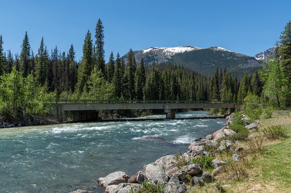 Picnic area · 9 km awayBruce’s Picnic SiteA practical riverside pause on the road to Maligne Lake.
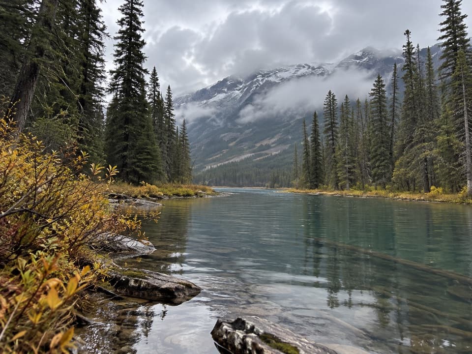 Campground · 9.5 km awayJacques Lake Backcountry CampgroundEight lakeside sites after a 12.2 km backcountry walk.
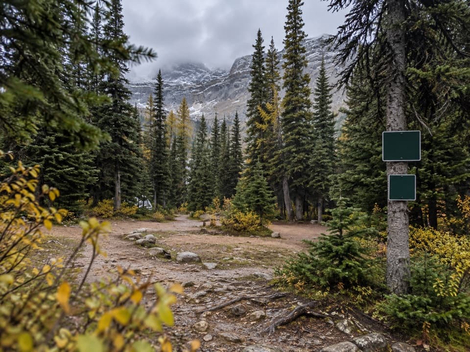 Campground · 11.4 km awayCurator Backcountry CampgroundOne of the Skyline's high camps, with Curator Lake nearby.
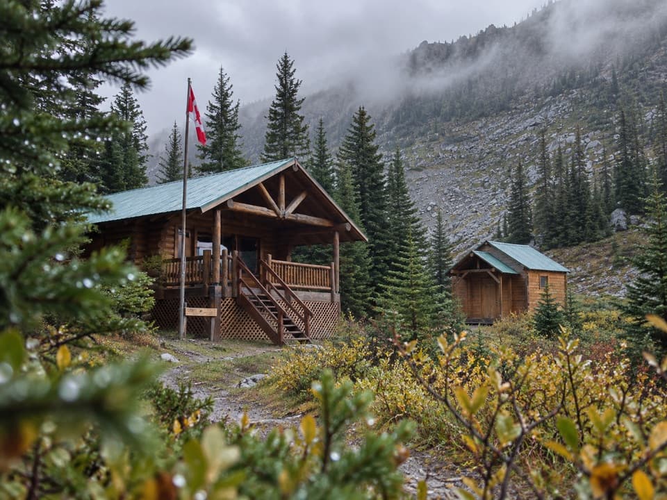 Lodging · 11.5 km awayShovel Pass LodgeA catered cabin stay on Jasper's Skyline Trail.
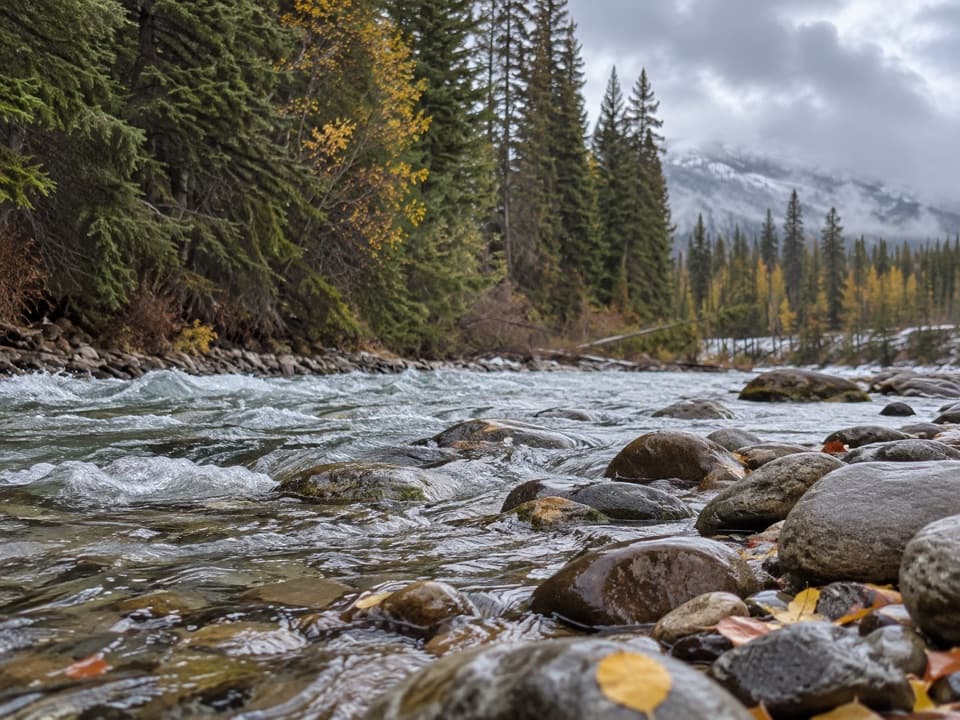 Picnic area · 11.9 km awayMaligne River Picnic AreaA simple riverside break on the winding Maligne Lake Road.
Parkwolf’s Jasper ranking

The audio tour guide for the drive, plus offline maps, trails, and wildlife heatmaps for when the signal drops.



